Mount Pisgah Road
Total Miles
5.8
Technical Rating
Best Time
Spring, Summer, Fall
Trail Type
Full-Width Road
Accessible By
Trail Overview
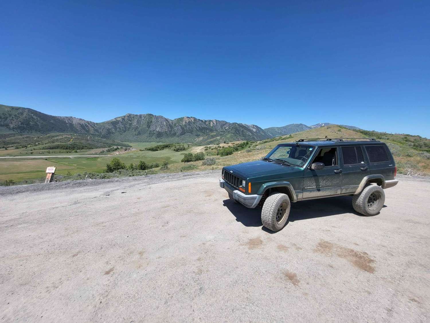
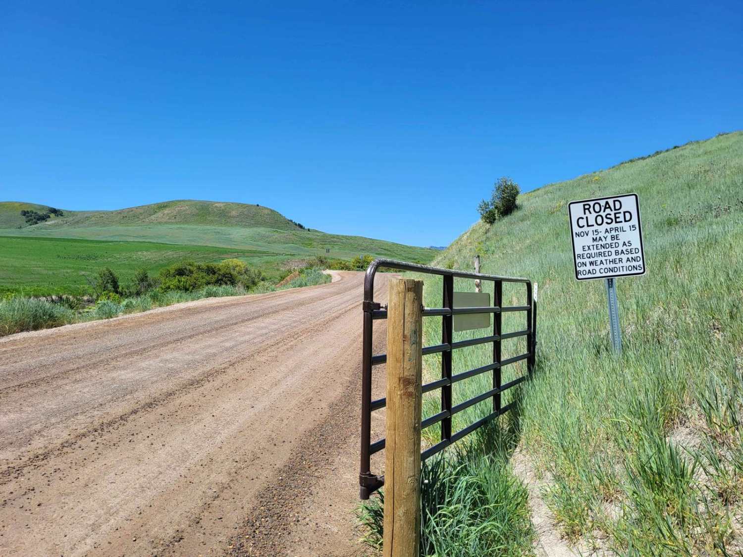
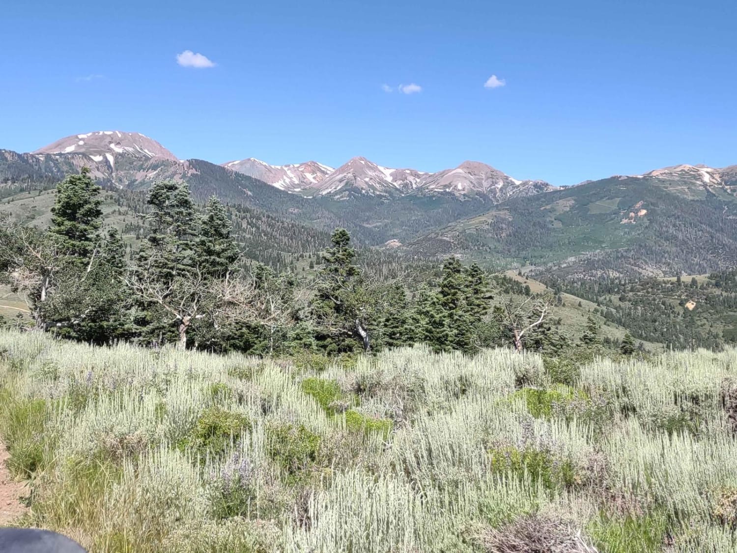
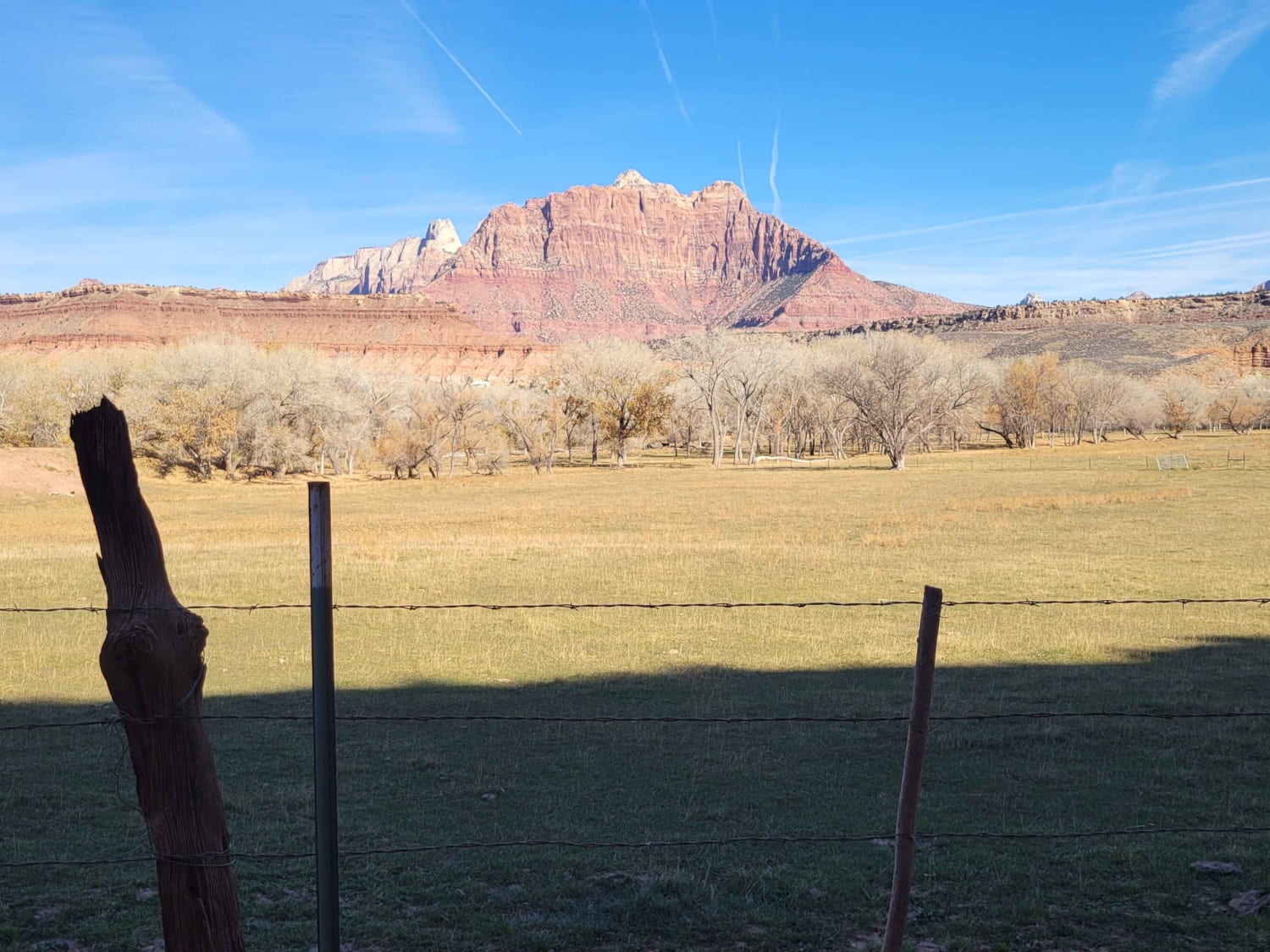
This 6-mile-long county road is a scenic route between the UDOT storage shed on US Highway 89 to Paradise, Utah. This route is open April 15th to November 15th if conditions allow, and is a graded gravel road but gets a little bit rutted and rough on the Highway 89 side. This trail is highly scenic, but you must stay on the road as both sides are private property. This road may be impassable due to snow or rain.
Photos of Mount Pisgah Road
Difficulty
The western half is a steeper and skinnier road than the rest and has some ruts.
Status Reports
Mount Pisgah Road can be accessed by the following ride types:
- High-Clearance 4x4
- SUV
- SxS (60")
- ATV (50")
- Dirt Bike
Mount Pisgah Road Map
Popular Trails
Cottonwood Canyon Overlook

Ripple Valley Pass

Cutler Point-BLM1035
The onX Offroad Difference
onX Offroad combines trail photos, descriptions, difficulty ratings, width restrictions, seasonality, and more in a user-friendly interface. Available on all devices, with offline access and full compatibility with CarPlay and Android Auto. Discover what you’re missing today!