Hog Canyon 5 - Savage Point (BLM HC5/5A)
Total Miles
4.7
Technical Rating
Best Time
Spring, Summer, Fall
Trail Type
High-Clearance 4x4 Trail
Accessible By
Trail Overview
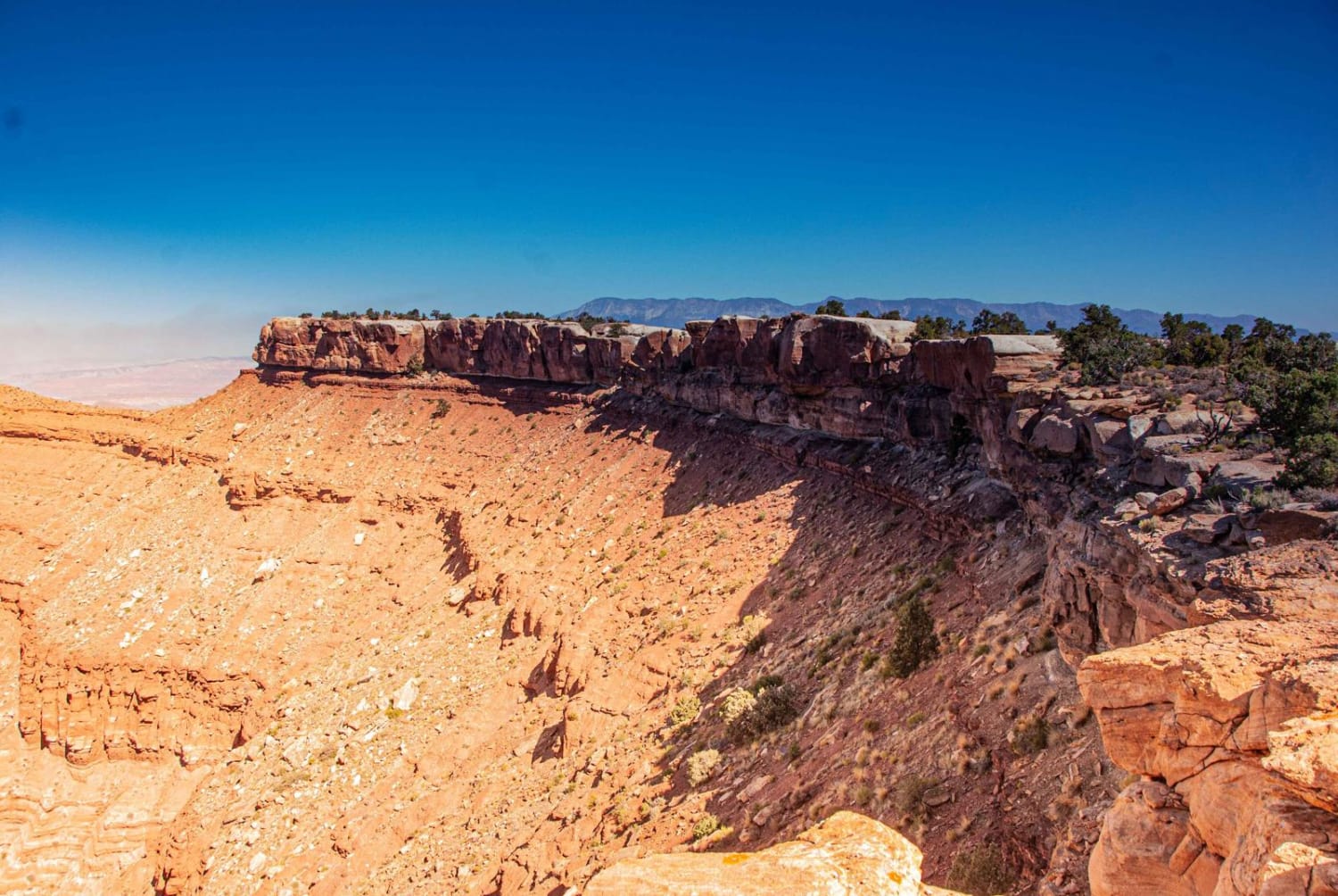
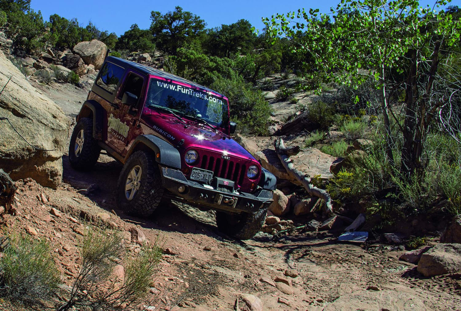
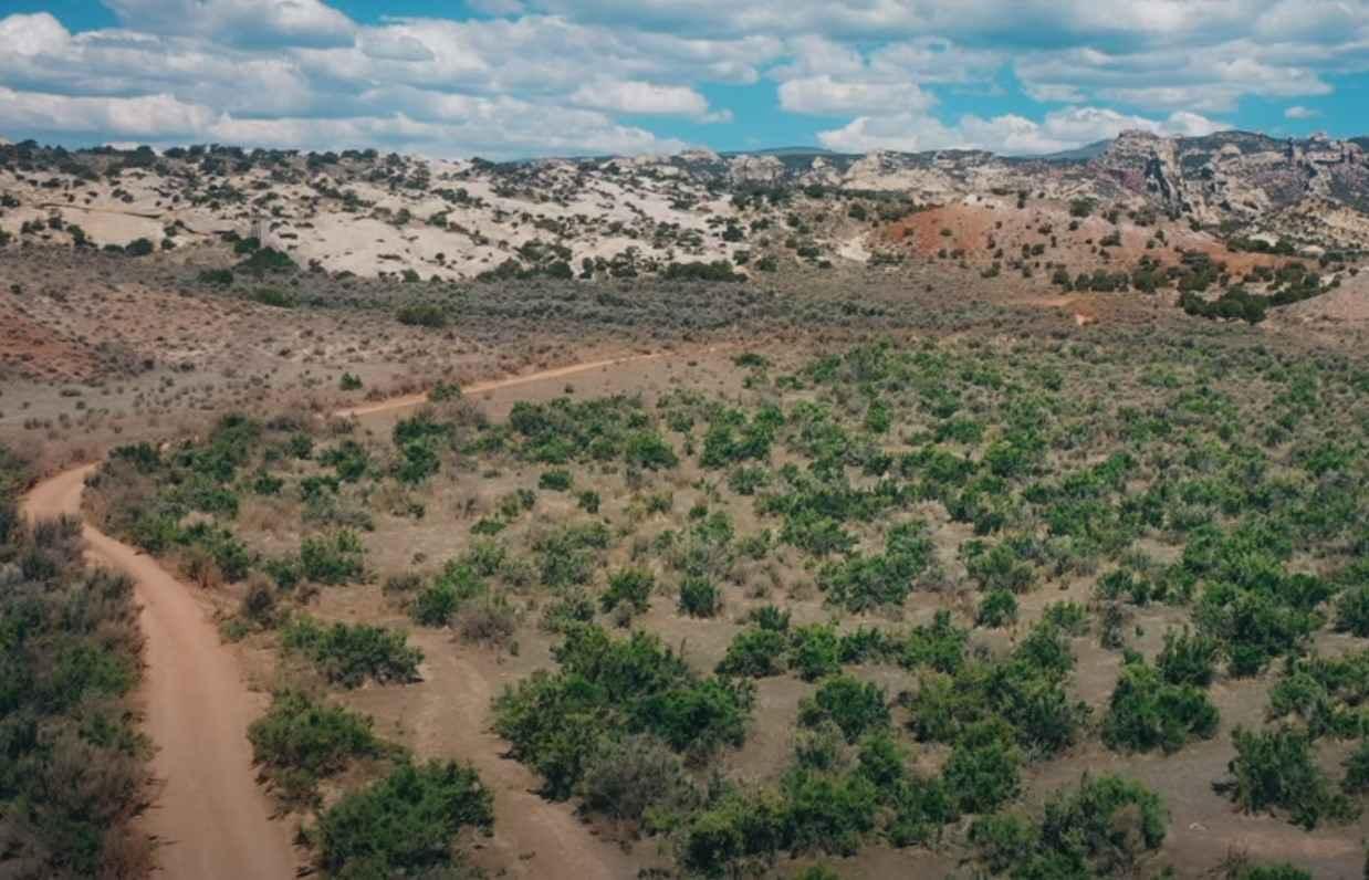
This trail has a variety of obstacles that make traversing the trail visually challenging and enjoyable. This is a trail that does require appropriate skills and a vehicle appropriate to the obstacles that will be encountered. There are some approved alternative routes on portions of the trail. These have been included in the published route. Some of the alternatives vary in difficulty. As with all rock-climbing situations, proper tire pressure is a big factor. The most difficult section of this trail runs near the entrance to HC6 to the intersection with HC6A to the south and is labeled as HC5A on some maps. This is the primary section that defines why this trail is rated as a 7. If you would like to bypass this technical portion of HC5A, HC6A is a good alternative. The southeastern portion of the trail follows Pugh Canyon with some great views to Savage Point. Savage Point has a beautiful view of the entire area to the south over Kanab and out to the Kaibab area. Please Note: HC5A and HC6A may be closed in the Spring for Perrigin Falcon nesting. Please Note: HC is a set of defined trails, AKA, a trail park. These defined trails vary in difficulty to provide challenges for all types of vehicles and skill levels. It is also a great area to learn new skills on these trails. HC is NOT an open-riding area. You are expected to stay on the defined trails and under no circumstances create new trails. In addition, please do not build upon someone else's desecration of the area by riding on trails or bypasses that have been created by others. Please obey all BLM-posted signs. OnX asks everyone to support the Tread Lightly principles.
Photos of Hog Canyon 5 - Savage Point (BLM HC5/5A)

Difficulty
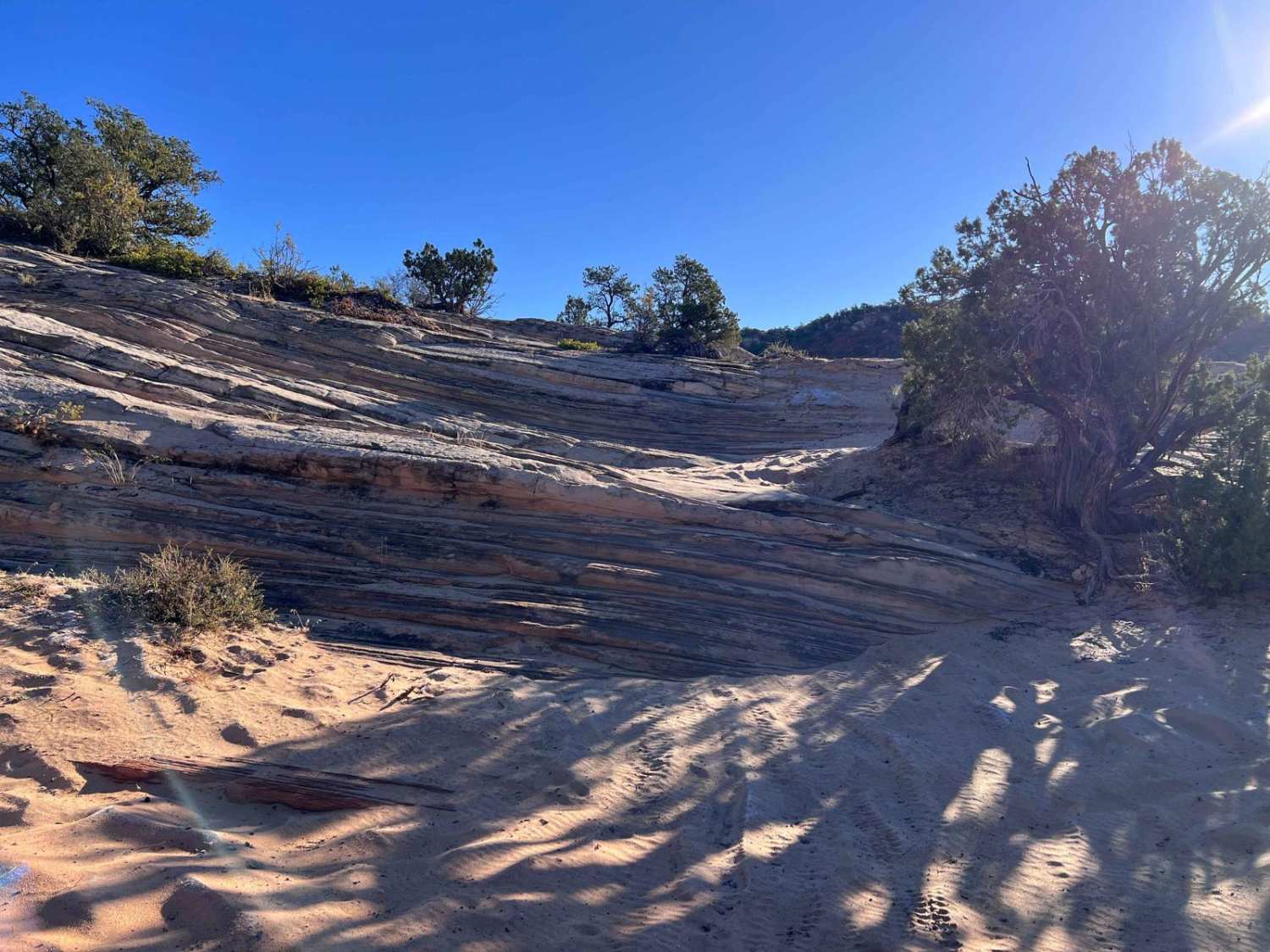
The trail presents a wide variety of challenges including high rock ledges, off-camber rock traverses, and multilevel rock climbs. The trail from HC7 to the base of Mosdell Hill going upward and a section on the Savage Point peninsula (HC5A) are by far the most challenging. Both of these sections can be bypassed. Enter HC5 at the base of Mosdell Hill and use HC6A for the section on the Savage Point peninsula. There are also approved optional paths through some of the more challenging portions of the HC5 trail. Having good skills and being able to judge appropriate lines on the more challenging obstacles is very important. This is a trail that having a buddy or group is highly recommended. Rated 11/24.
Status Reports
Hog Canyon 5 - Savage Point (BLM HC5/5A) can be accessed by the following ride types:
- High-Clearance 4x4
- SxS (60")
- ATV (50")
- Dirt Bike
Hog Canyon 5 - Savage Point (BLM HC5/5A) Map
Popular Trails
White Trail
Strike Ravine
Red Mountain West Access-Vernal

Riverbottom Road-JC8122802
The onX Offroad Difference
onX Offroad combines trail photos, descriptions, difficulty ratings, width restrictions, seasonality, and more in a user-friendly interface. Available on all devices, with offline access and full compatibility with CarPlay and Android Auto. Discover what you’re missing today!