Trail Overview
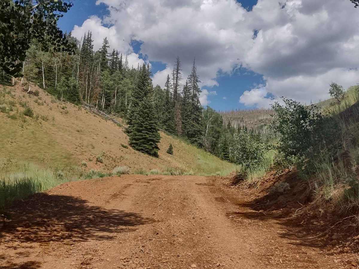
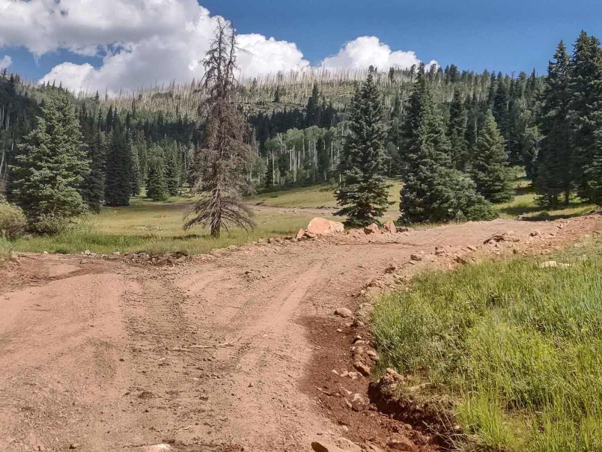
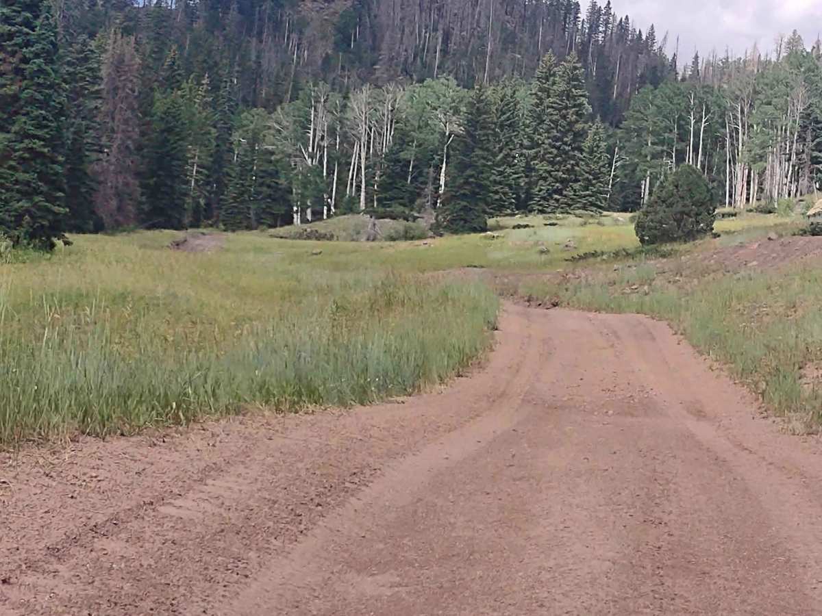
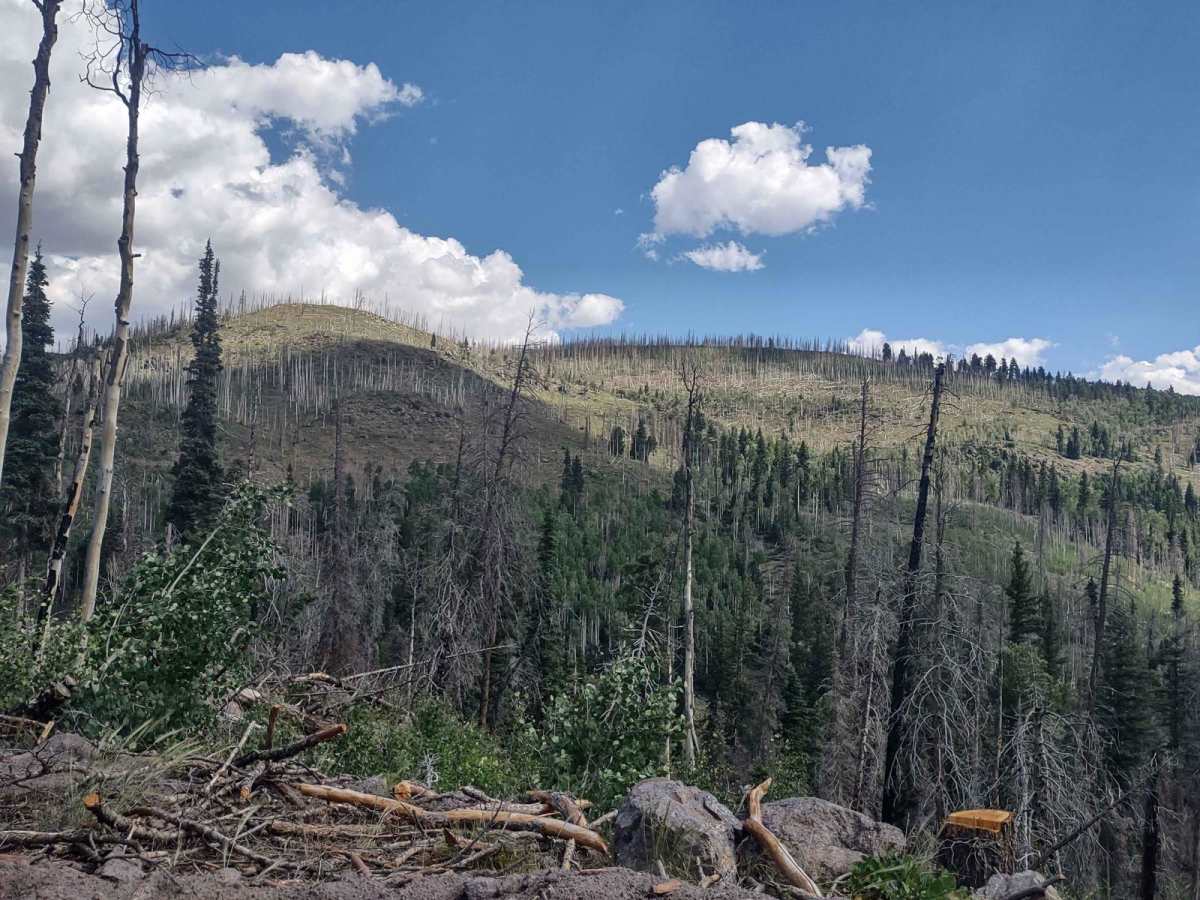
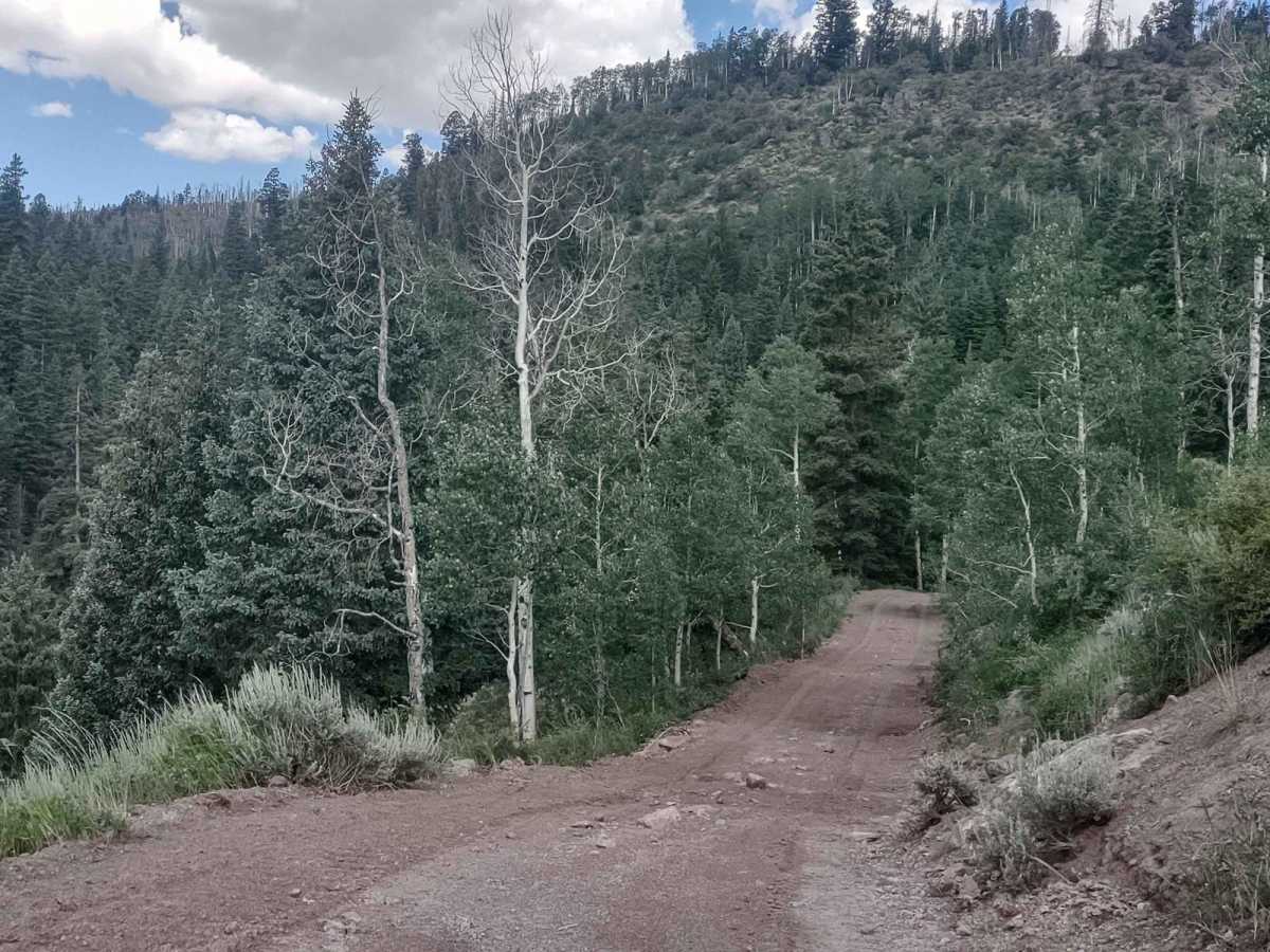
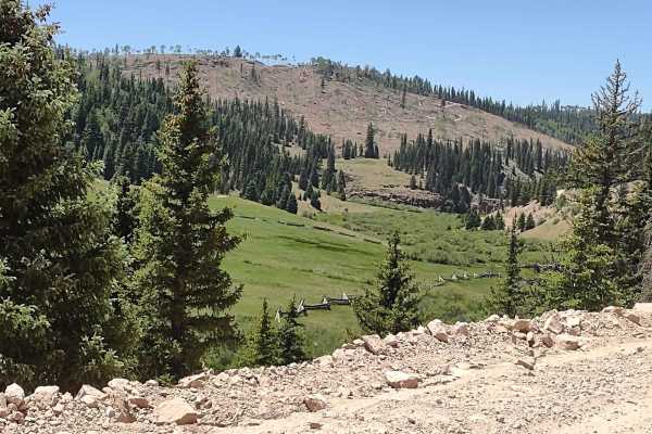
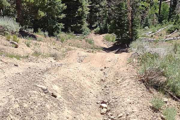
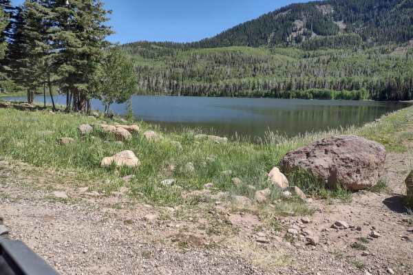
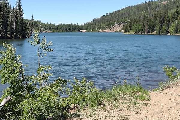
Jim Reed to "The Face" is just over 5 miles. Beginning at Highway 153, you go up 1,350 feet to the top of the mountain, near Johnson Peak, and can connect with "The Face," which drops down into Beaver, Utah. These trails make up part of PST 5. The trail goes through a burned area from a past fire, but the regrowth has begun and the Forest Service personnel in this area are doing a good job of cleaning out the burned trees. There is a lot more to do, but they're working on it. The area is only open in the summer and fall. Even in the early spring, if there is heavy snow in the wintertime, this trail will be impassable due to snow and run-off. You may see bear scat along this trail. This is black/brown bear country, and you may spot deer-bucks, does, and fawns. The smell of the pine forest is not something words or air fresheners do justice to. You've got to experience it. Even in late July, there is still water running across the trail in places, fed by springs or ponds above. The road shows signs of erosion in places. The area is used for summer pasture for cows, and there are some beautiful meadows/clearings on this mountain. The trail does have some large rocks to maneuver around or over, and in places, it is very narrow. A 72-inch SXS barely fits between the cut ends of trees lying across the trail. This trail, as well as "The Face," are two of the best trails in southern Utah. They're fun to ride, the scenery is amazing, and there is some challenge to it. It's not a hard trail but requires one to focus.