Joseph to Marysvale
Total Miles
11.7
Technical Rating
Best Time
Spring, Summer, Fall
Trail Type
High-Clearance 4x4 Trail
Accessible By
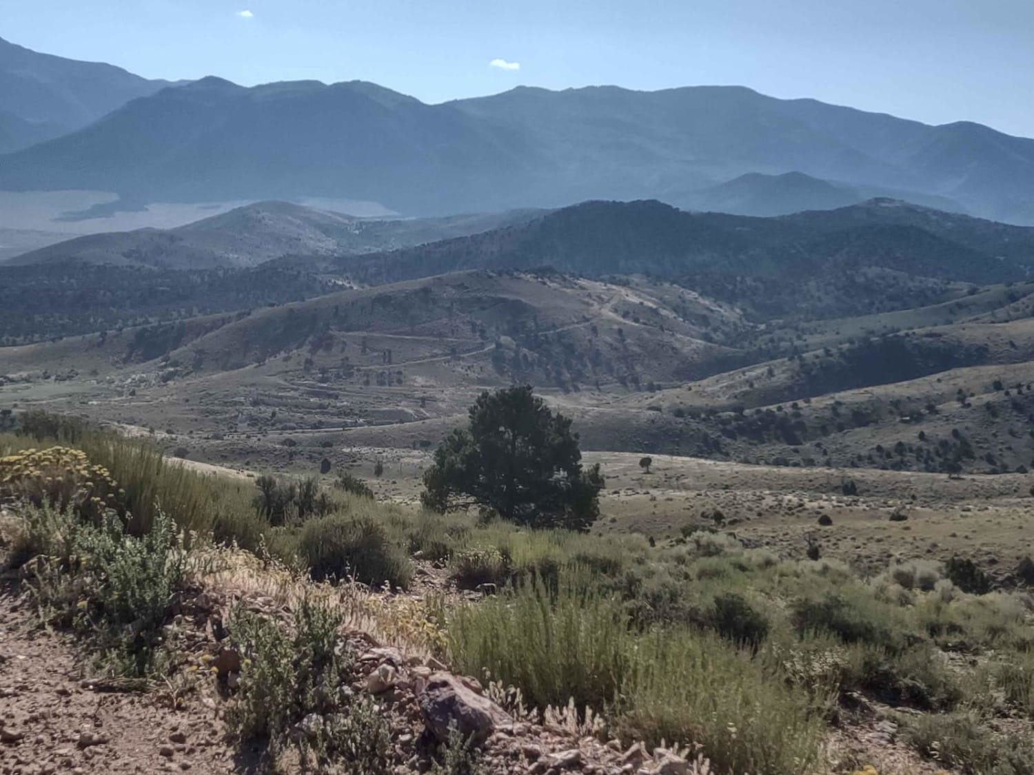
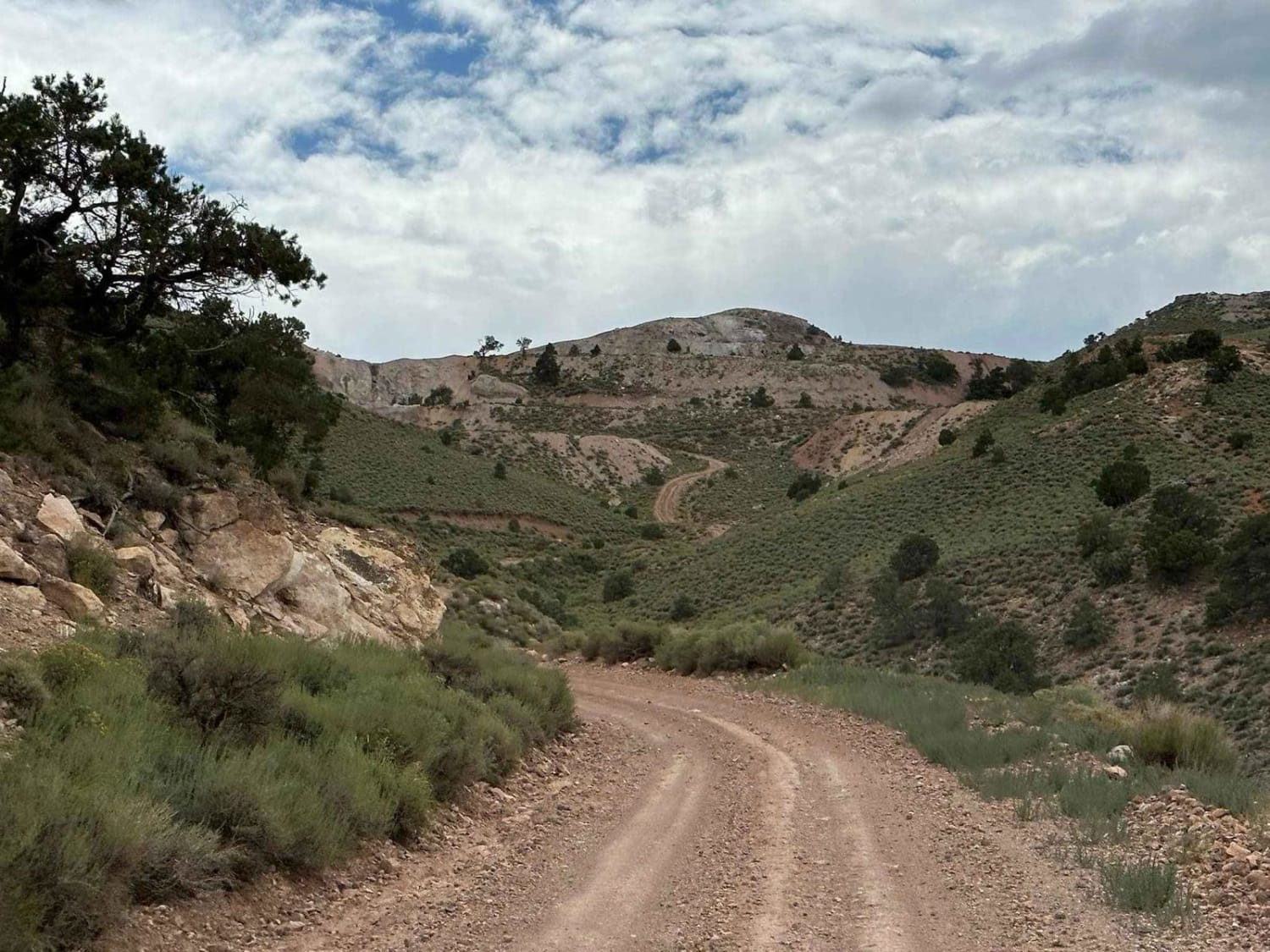
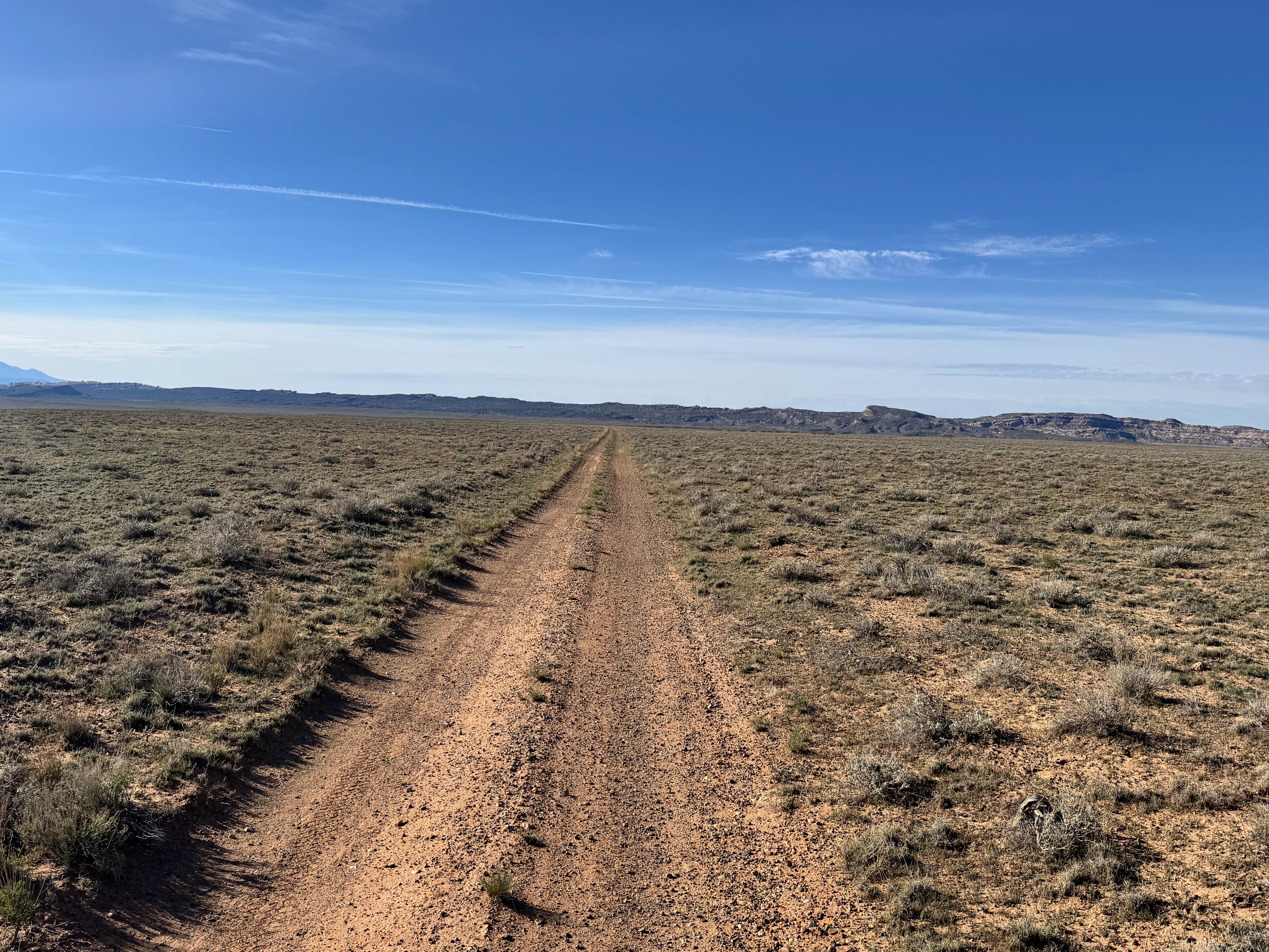
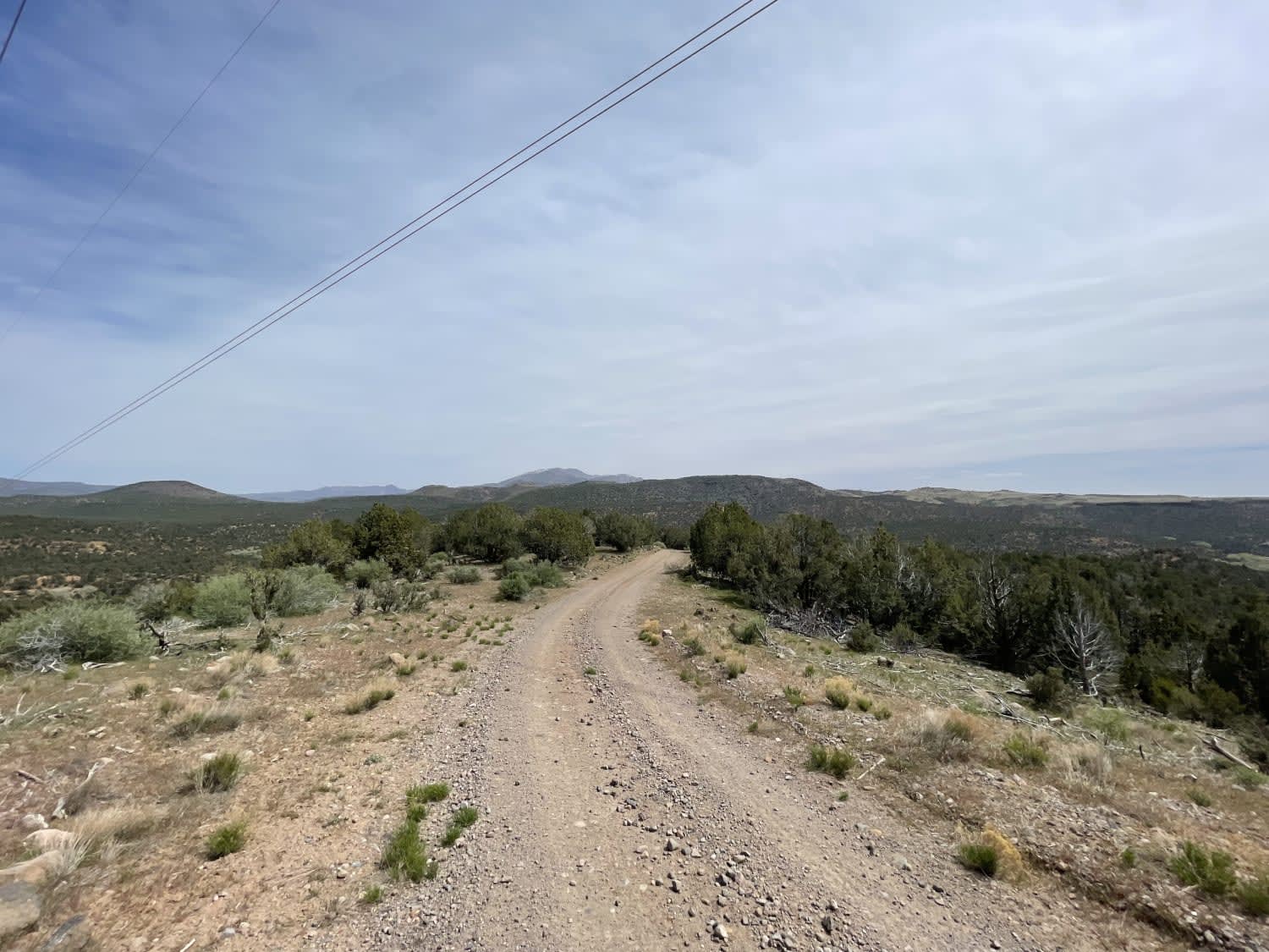
Trail Overview
This trail boasts spectacular scenery as you move north or south, from Marysvale to Joseph or the reverse. These roads connect the trails on either end of this trail for great riding in the fantastic mountains of southern Utah. Too early in the spring or too late in the fall, you may encounter snow, especially at the higher portions of the trail. From this trail, you can connect to numerous trails in the Poverty Flats area or go into the Fishlake National Forest on the Sevier Plateau. The Pavant Range on the north is home to deer and elk and some beautiful scenery.
Photos of Joseph to Marysvale
Difficulty
These are dirt roads without any obstacles, unless it's too early in the spring or too late in the fall, when you might encounter snow.
Status Reports
Joseph to Marysvale can be accessed by the following ride types:
- High-Clearance 4x4
- SxS (60")
- ATV (50")
- Dirt Bike
Joseph to Marysvale Map
Popular Trails
Salt Valley Road Connector
Tabby Mountain Loop
Temple Mountain Road
Cove Wash To Magotsu Creek
The onX Offroad Difference
onX Offroad combines trail photos, descriptions, difficulty ratings, width restrictions, seasonality, and more in a user-friendly interface. Available on all devices, with offline access and full compatibility with CarPlay and Android Auto. Discover what you’re missing today!