Uinta Loop 1
Total Miles
1.2
Technical Rating
Best Time
Fall, Summer
Trail Type
60" Trail
Accessible By
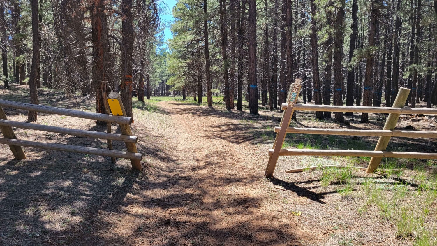
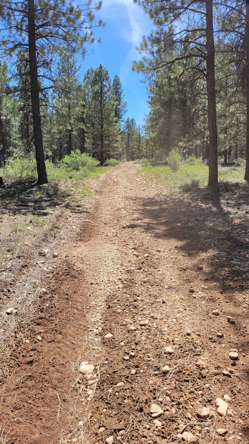
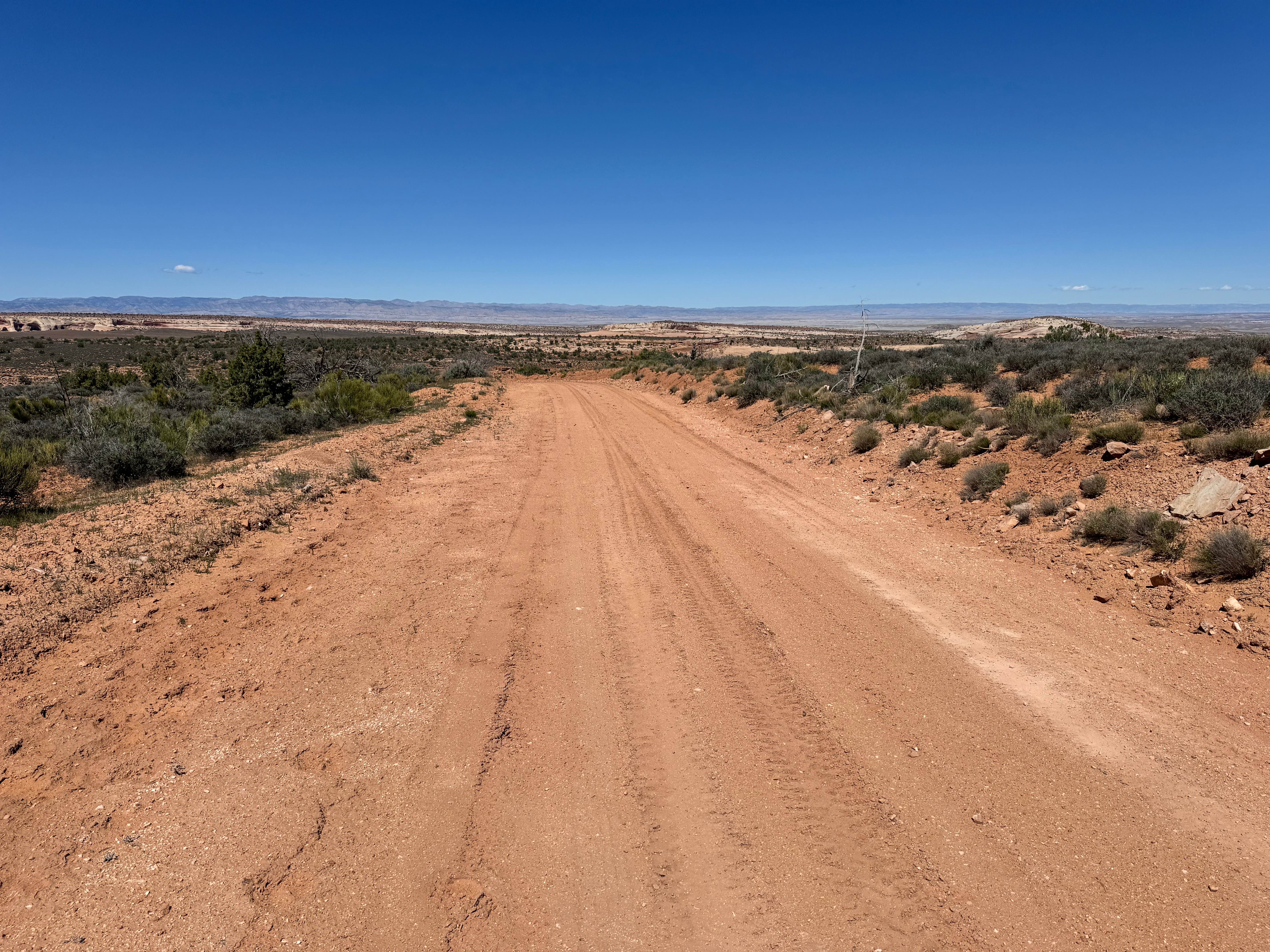
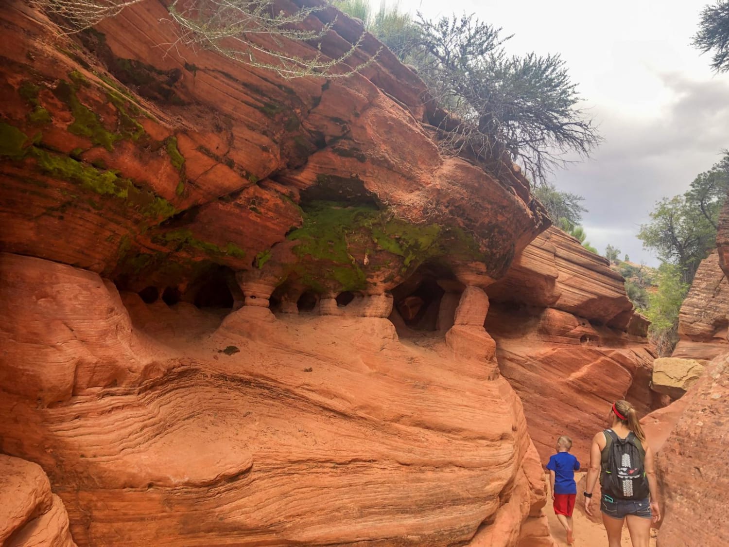
Trail Overview
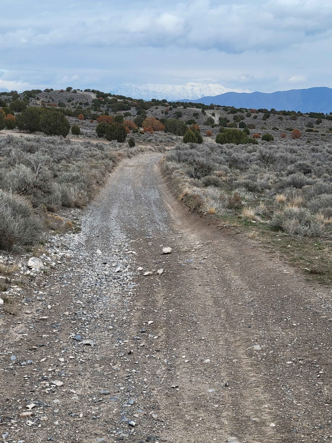
This is a short but slightly more challenging side trail. According to the Markagunt OHV System Map, this ranks as a blue (advanced) trail. Open to SXS or smaller machines. There are some deep erosion spots (ruts) in places, as well as some loose rocky sections to look out for.
Photos of Uinta Loop 1
Difficulty
There are some deep erosion spots (ruts) in places, as well as some loose rocky sections to look out for.
Status Reports
Uinta Loop 1 can be accessed by the following ride types:
- SxS (60")
- ATV (50")
- Dirt Bike
Uinta Loop 1 Map
Popular Trails
Highlands Road
Dianas Throne

Parker Mountain 18
The onX Offroad Difference
onX Offroad combines trail photos, descriptions, difficulty ratings, width restrictions, seasonality, and more in a user-friendly interface. Available on all devices, with offline access and full compatibility with CarPlay and Android Auto. Discover what you’re missing today!