Lakeview Connector
Total Miles
2.1
Technical Rating
Best Time
Spring, Summer, Fall, Winter
Trail Type
Single Track
Accessible By
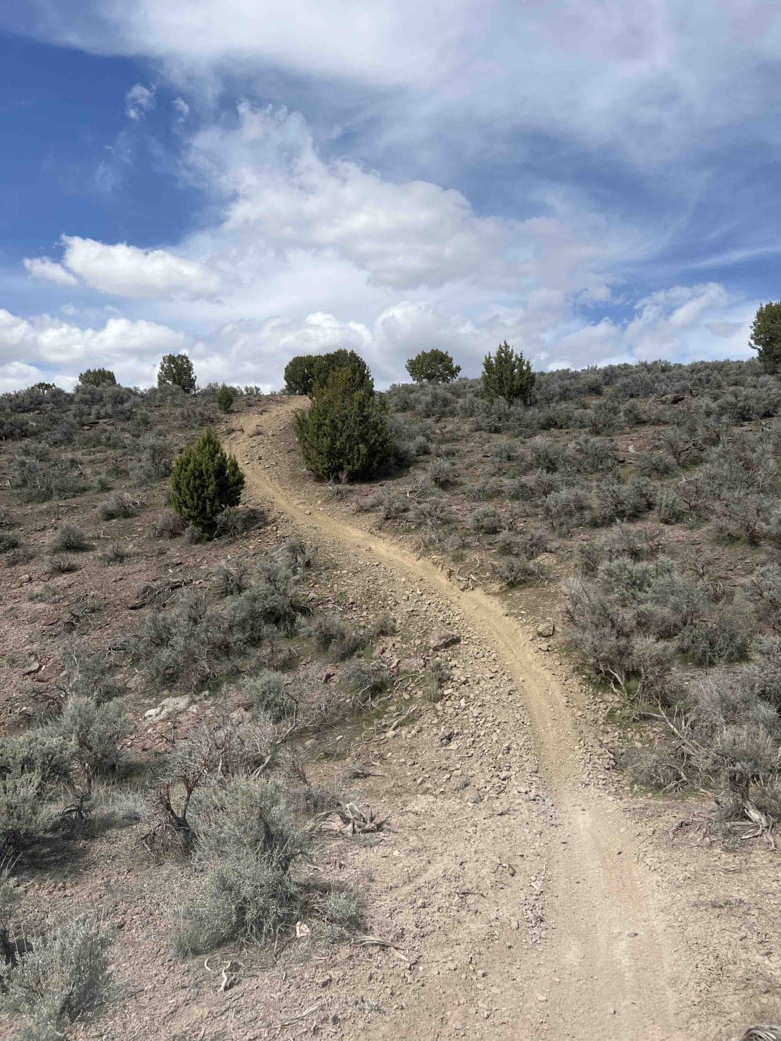
Trail Overview
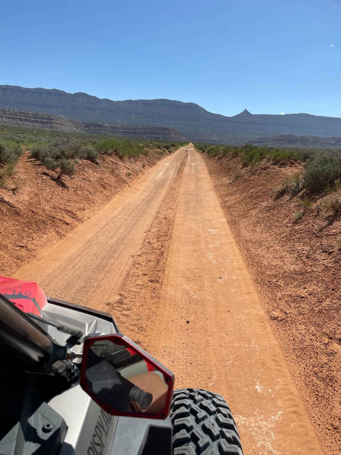
Lakeview Connector is a 2.1-mile-long trail that runs north-south between The Back 9 and Lakeview East trails. This trail travels through short sagebrush and some smaller trees. The ground surface is hard-packed dirt and mostly smooth with few rocks. When traveling south, you'll have great views of Utah Lake.
Photos of Lakeview Connector

Difficulty
This is a very easy trail with no obstacles and only a few short hills.
Status Reports
Lakeview Connector can be accessed by the following ride types:
- Dirt Bike
Lakeview Connector Map
Popular Trails

Lake Mountain East
Batty Pass Caves


Red Mountain Moonshine Arch
The onX Offroad Difference
onX Offroad combines trail photos, descriptions, difficulty ratings, width restrictions, seasonality, and more in a user-friendly interface. Available on all devices, with offline access and full compatibility with CarPlay and Android Auto. Discover what you’re missing today!