Left Fork Rhodes Canyon
Total Miles
3.0
Technical Rating
Best Time
Spring, Summer, Fall
Trail Type
Full-Width Road
Accessible By
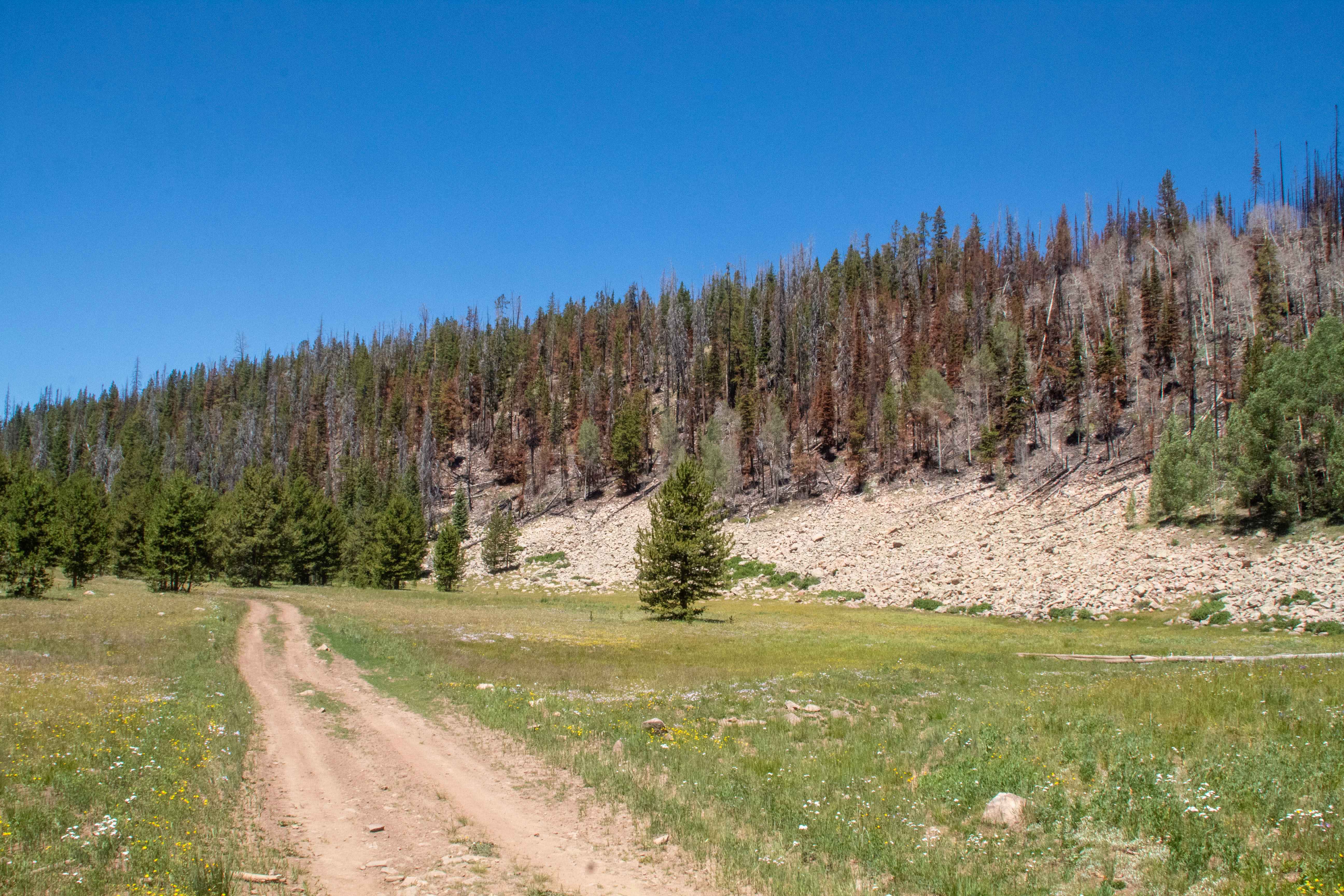
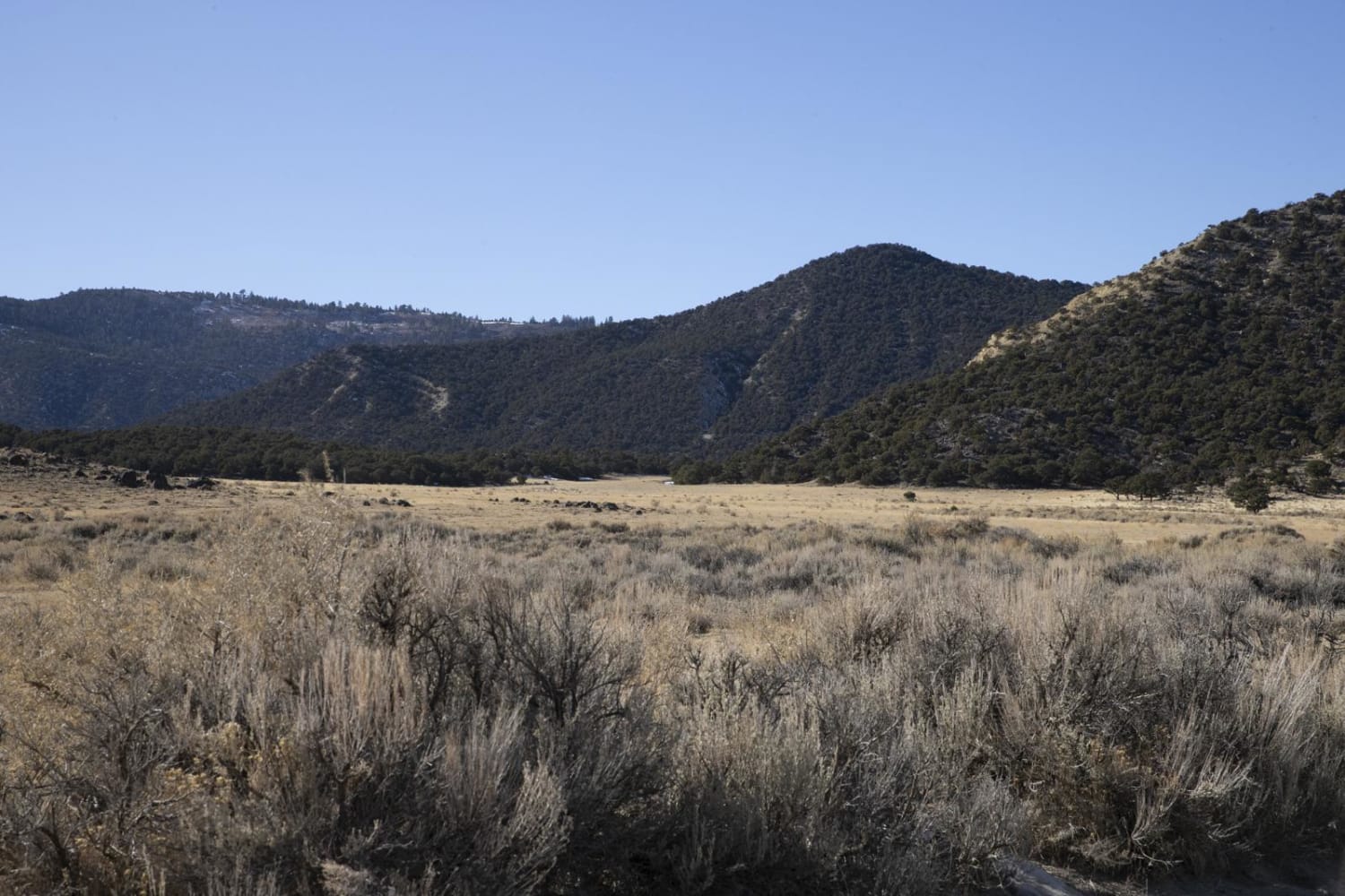
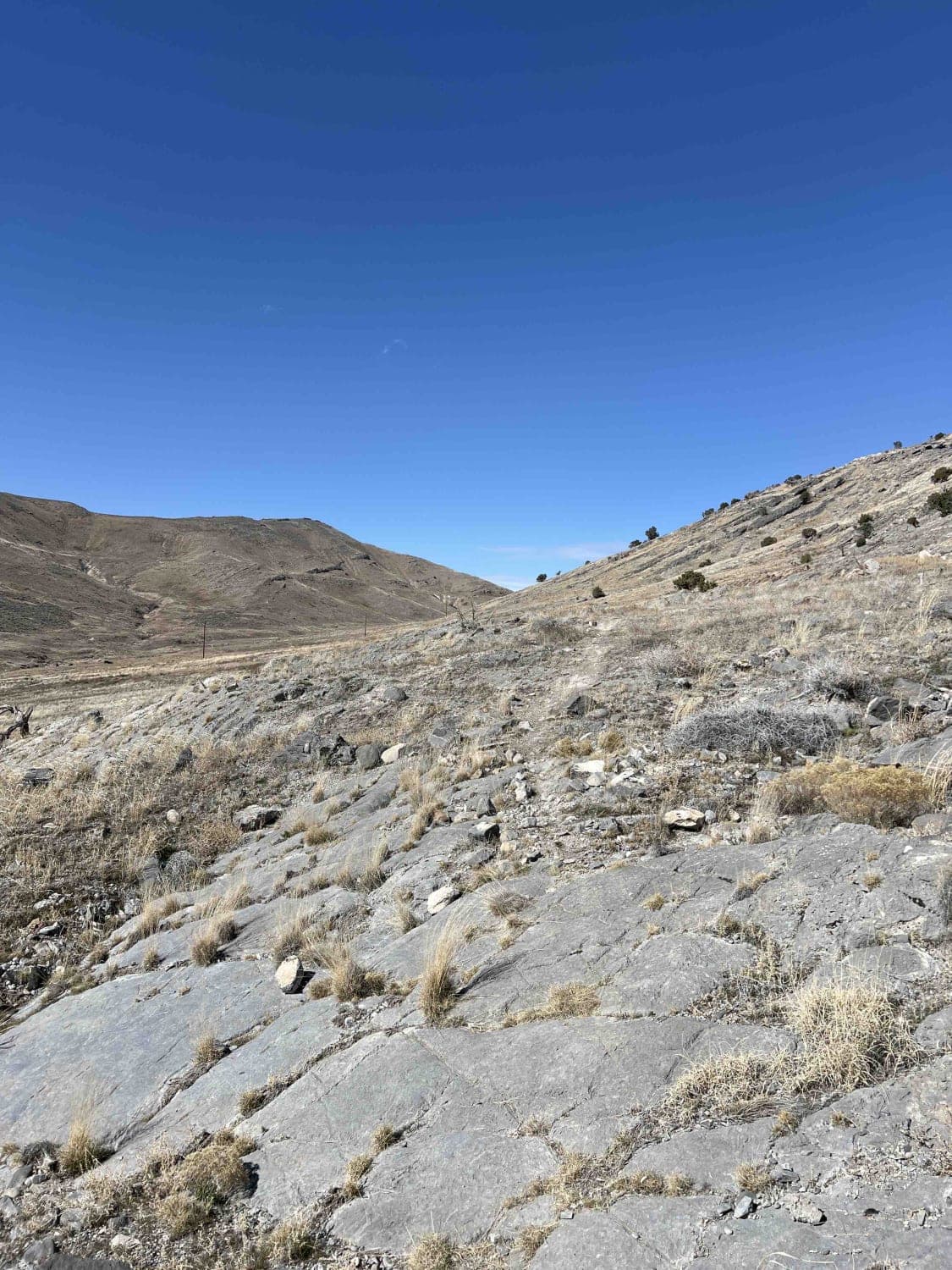
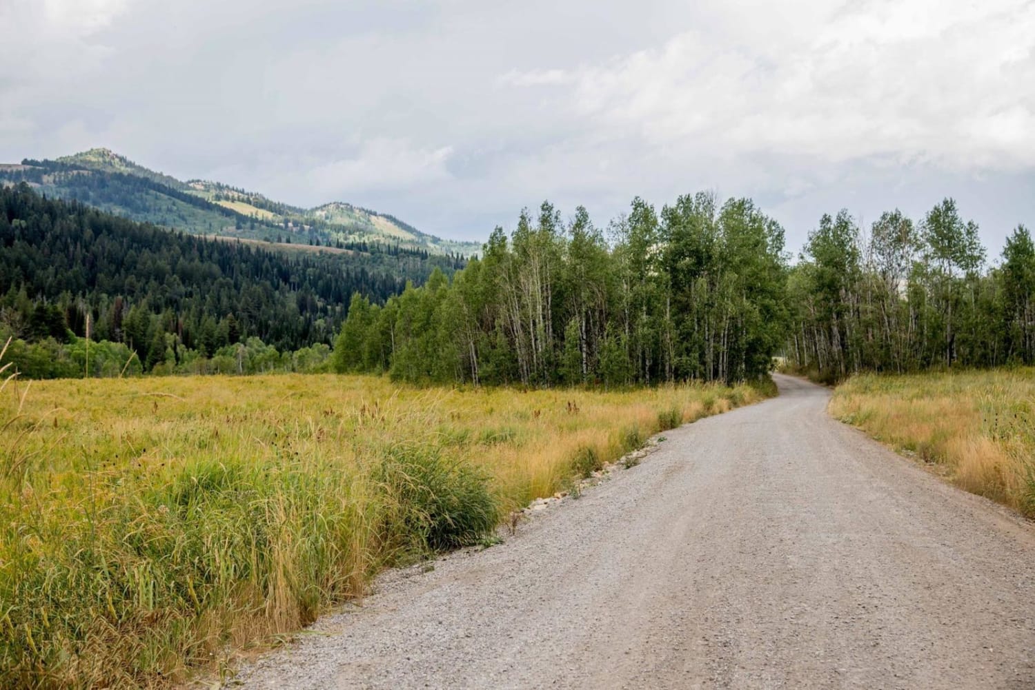
Trail Overview
This trail branches of of Rhodes Canyon and heads up to Silver Meadows. The top end of the trail by Silver Meadows is smooth and graded forest service road up until you pass Little Pond where it then turns into a rocky and slow drive with only a few spots to turn off. The trail is scenic as it winds its way through the forest up the canyon with wildflowers scattered about. The trail is one vehicle wide with places to pass and travels through a burn scar from late 2024 and fallen trees may be common across the lower trail as it is less maintained. The trail does not have a set close date but is normally inaccessible during the winter due to deep snow and is usually clear mid June to early July.
Photos of Left Fork Rhodes Canyon

Difficulty
The trail is rocky with some steeper sections as well as some rutted/washed out areas.
Status Reports
Left Fork Rhodes Canyon can be accessed by the following ride types:
- High-Clearance 4x4
- SUV
- SxS (60")
- ATV (50")
- Dirt Bike
Left Fork Rhodes Canyon Map
Popular Trails
Jim's Farm Road

Ten Mile Pass Road
Franklin Basin Road
The onX Offroad Difference
onX Offroad combines trail photos, descriptions, difficulty ratings, width restrictions, seasonality, and more in a user-friendly interface. Available on all devices, with offline access and full compatibility with CarPlay and Android Auto. Discover what you’re missing today!