Iron Mine Approach
Total Miles
2.5
Technical Rating
Best Time
Spring, Summer, Fall
Trail Type
Full-Width Road
Accessible By
Trail Overview
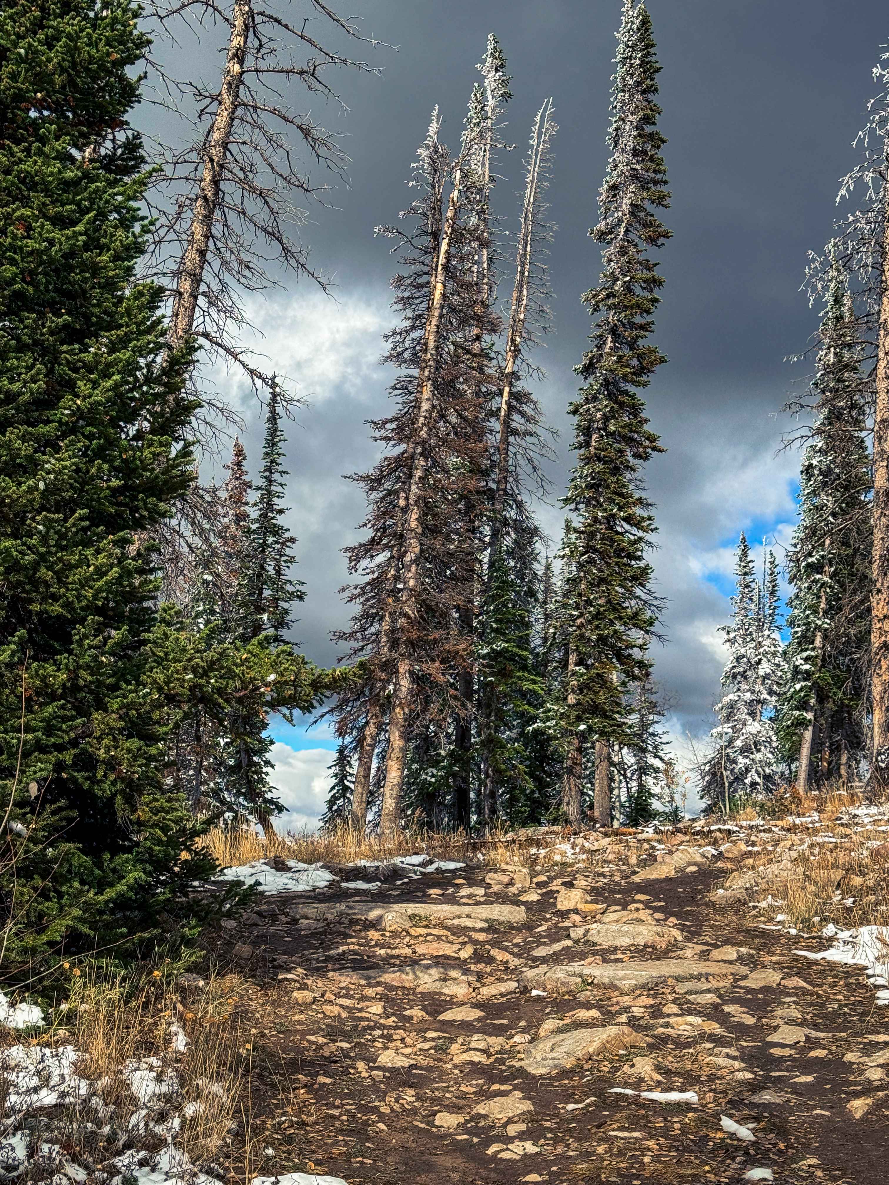
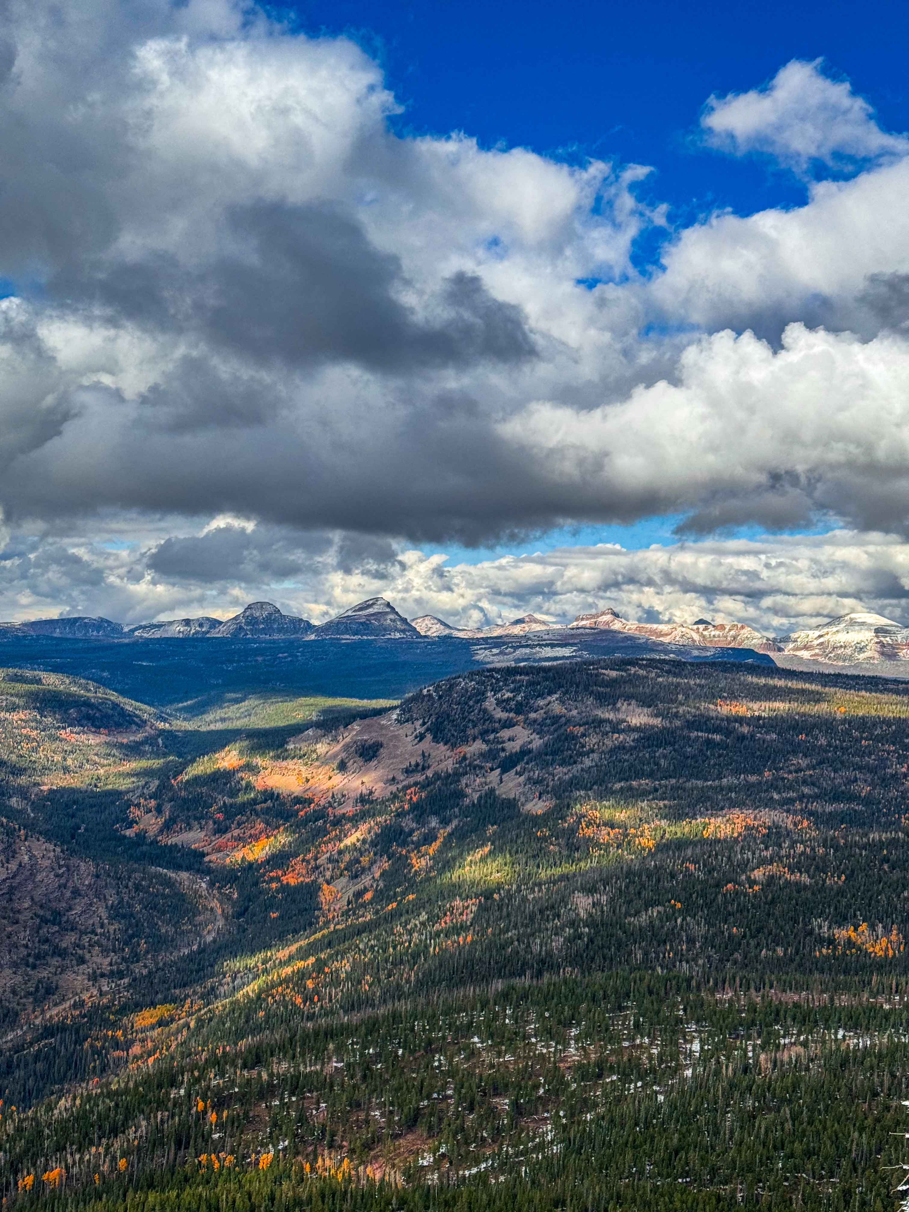
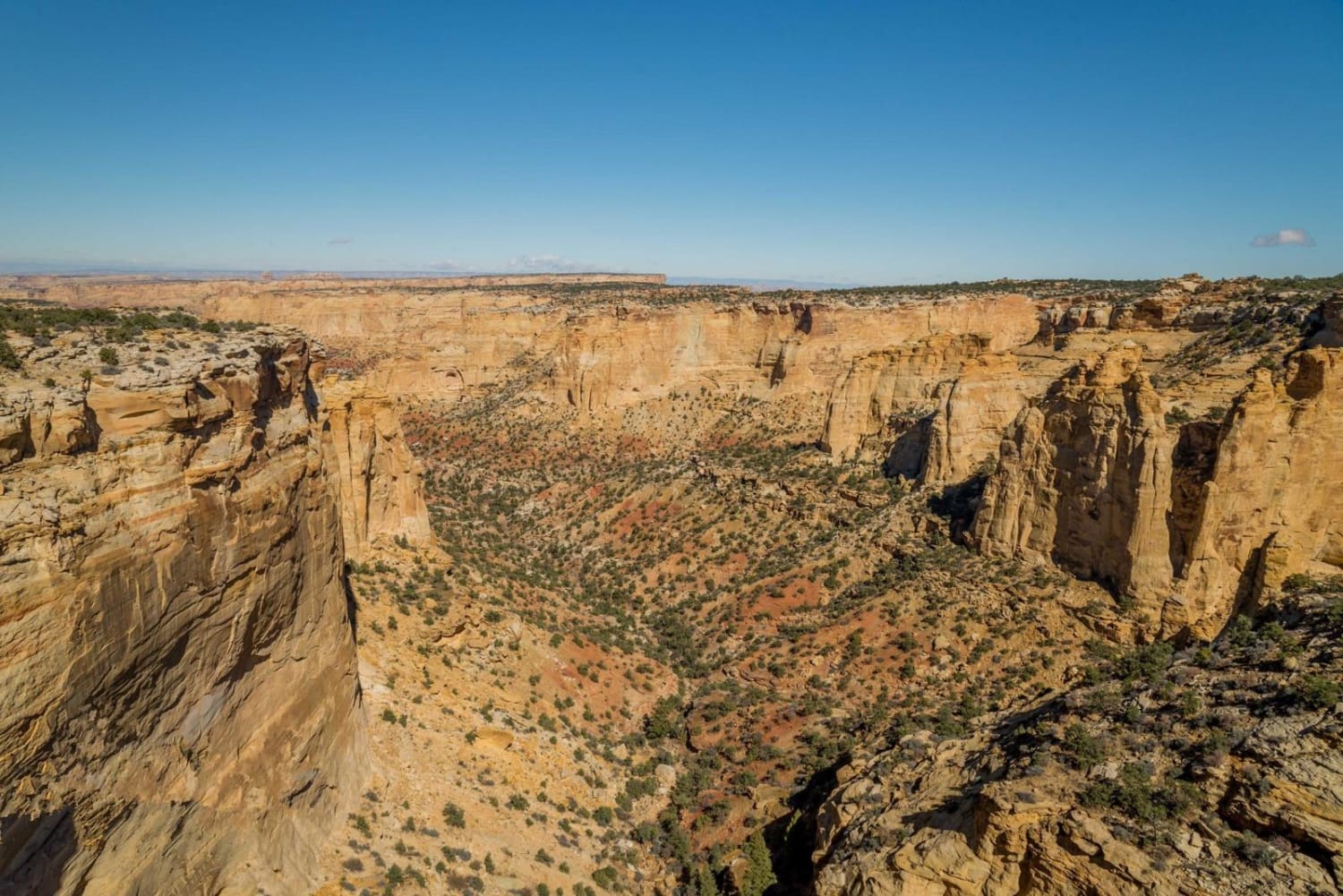
Iron Mine Approach is a beautiful trail that slowly climbs to the top of Iron Mine Mountain, 10,453 feet in elevation. This amazing trail will bring you through aspen groves and tightly placed pines, requiring skillful maneuvering to not scratching your vehicle. I would not recommend driving this road in anything much wider the a 4Runner or Tacoma unless you don't mind some pin stripes. This road will also traverse through a burn scar from the 2025 Yellow Lake fire that burned much of the soapstone area, leaving an eerie black forest feeling like a different world. The trail is not anything that difficult, but it is rocky in some areas, and the end is very unestablished, being more of a giant rock garden than a road. There can sometimes be some puddles on the road, but nothing too deep. You will also find a few tighter switchbacks, but nothing any off-road vehicle could not do, and some low-hanging trees. At the top of the road, there is an amazing clearing with 360-degree views of the Uinta and Wasatch Mountains.
Photos of Iron Mine Approach
Difficulty
This trail is consistently very tight in any tree area, but has plenty of open high alpine meadows allowing room to pass. You will also find rock gardens, the hardest being the last one right before the very top. You will find mud holes near the beginning, too. Low-hanging trees are common, and if you're in a full-size vehicle, be prepared to find a few new scratches. Be prepared for large wind storms, especially after winter, and as the years pass, expect to find down trees in the burn scar areas, so maybe bring a saw.
Iron Mine Approach can be accessed by the following ride types:
- High-Clearance 4x4
- SUV
- SxS (60")
- ATV (50")
- Dirt Bike
Iron Mine Approach Map
Popular Trails
Front Range

Fin Little - Buckskin Wash Interconnect
Hardware Ranch to Bear Lake
Devil's Racetrack
The onX Offroad Difference
onX Offroad combines trail photos, descriptions, difficulty ratings, width restrictions, seasonality, and more in a user-friendly interface. Available on all devices, with offline access and full compatibility with CarPlay and Android Auto. Discover what you’re missing today!