Israel Canyon Lake Mountains Pass

Total Miles
9.7

Elevation

2,285.79 ft

Duration

1 Hours

Technical Rating

4

Moderate

Best Time

Summer, Fall

Trail Overview

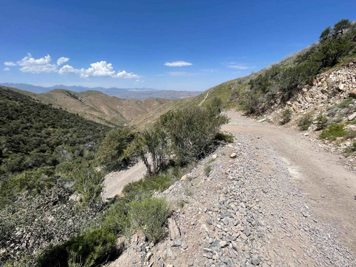
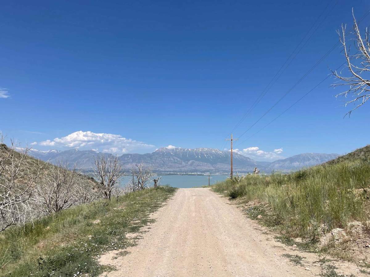
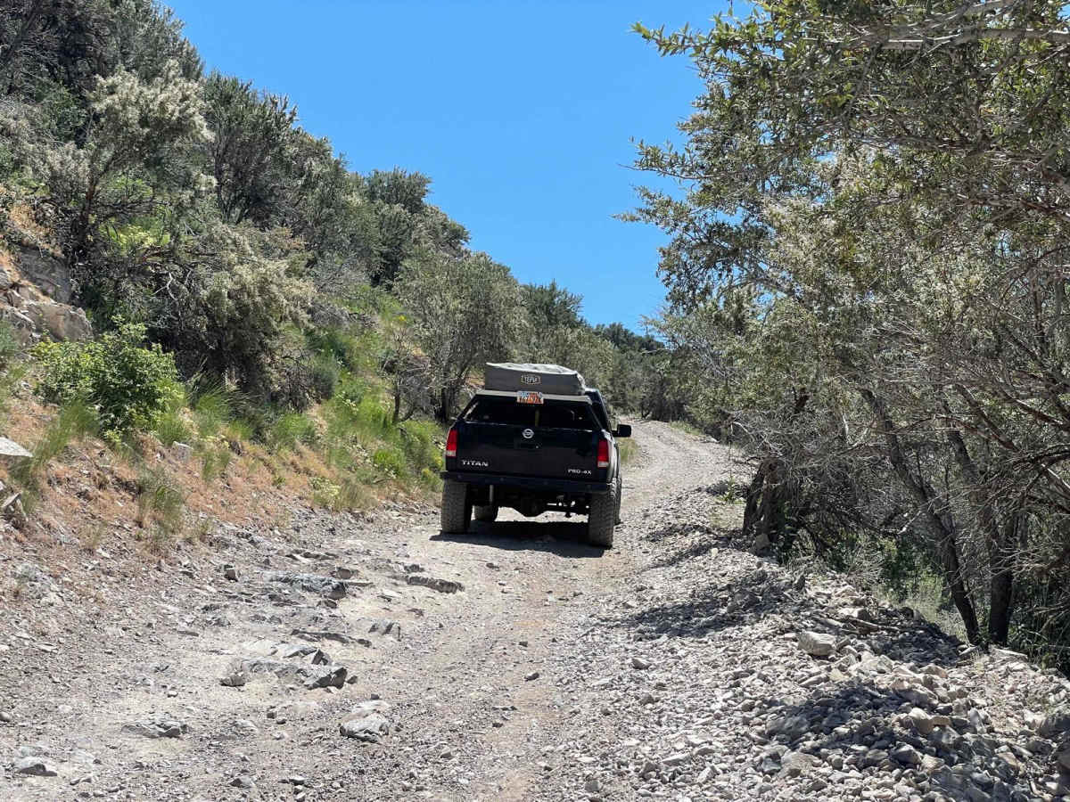
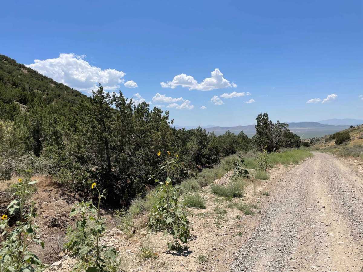
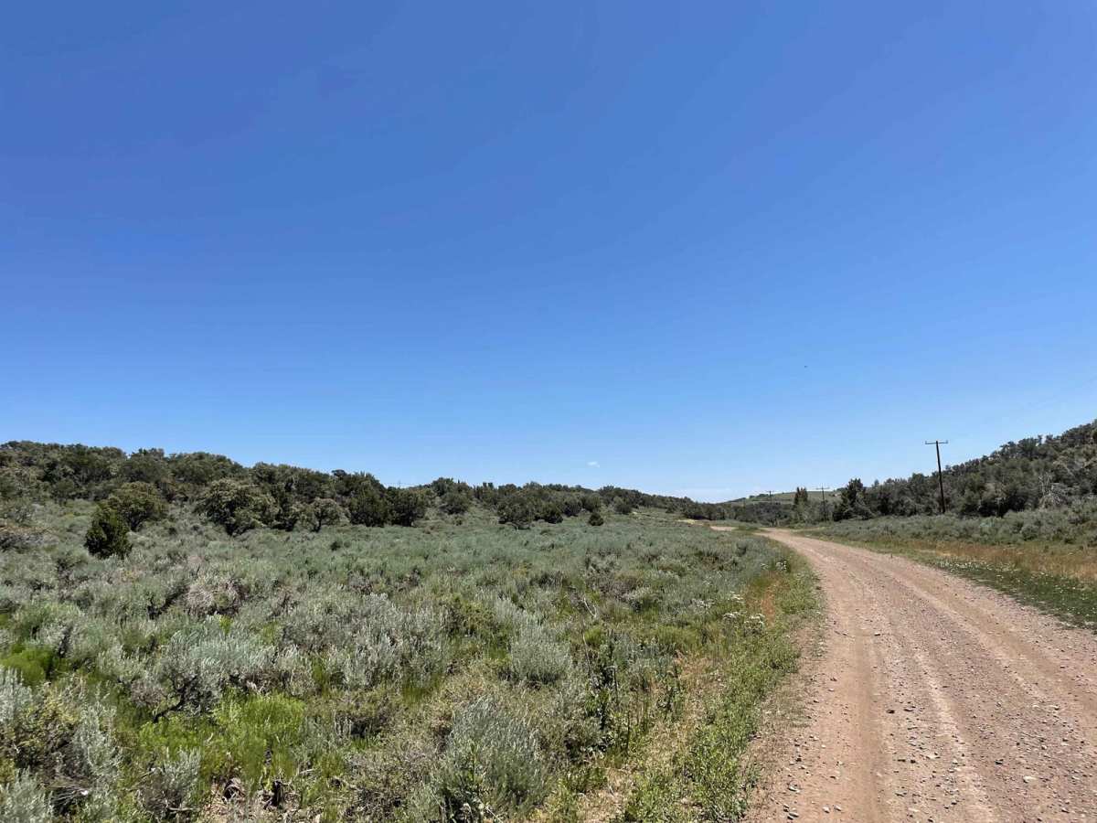
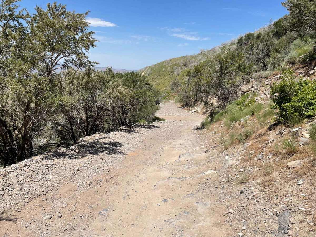
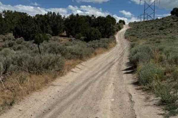
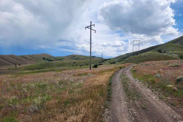
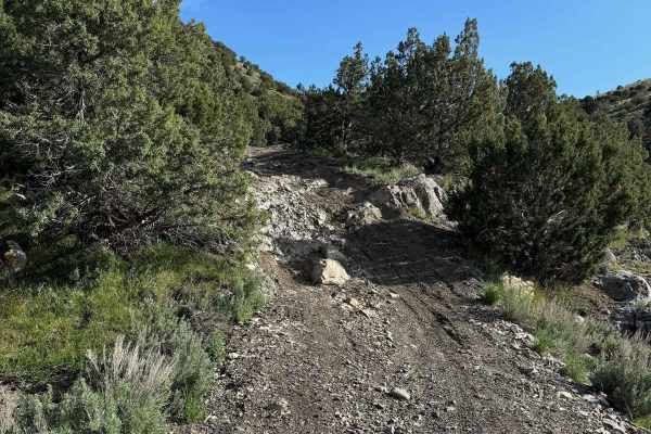
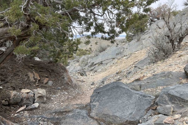
This road is also known as North Lake Mountain Comm Road. This route will take you over the Lake Mountains, from Saratoga Springs (north) to Eagle Mountain (south). Please note that this is a seasonal trail and is closed during winter months. You can contact Utah County Public Works at (801)-851-8600 for more information. This trail is easily accessible and offers incredible views of Utah Lake, mountain meadows, and Eagle Mountain. Additionally, you will see several radio towers and stations towards the north part of the trail. If coming from the north (Saratoga Springs), there will be a few relatively steep, loose rock climbs within a mile of the first gate. 4WD/AWD and good tires are highly recommended (Crosstrek/RAV would likely make it). After approximately 1 mile of those climbs, the terrain turns into a smoother single track through the canyon, where you will see some nice meadows and views. There will be two more gates along the way, with the last one indicating the end of the trail. Both the north and south sides of the trail have several trails branching off to explore, as well as a few branches along the trail to vistas and a more difficult, skyline route that runs parallel to the East.

Photos of Israel Canyon Lake Mountains Pass

Israel Canyon Lake Mountains Pass

Difficulty

There is approximately 1 mile of relatively steep climb that has large, loose gravel/rock. Much more smooth after that climb. Use caution when descending stops, the surface is very loose. 4WD is highly recommended as well as good tires.

History

This road gives access to several AM/FM, HAM, and RV antennas/stations.

Technical Rating

4

Status Reports

Jake P
Jul 17, 2024
2023 Subaru Outback
Open
Normal
Dusty
Muddy/Wet
Good road conditions. There were a few stretches of loose gravel and rocks, some of which were on a 15-18 degree incline. All terrain tires recommended.
Collin Larsen
May 28, 2024
2018 RAM 1500
Open
Dusty
Awesome trail with beautiful views! Make sure you take some of the side roads at the top for the best view points! I made the whole thing in my ram 1500 in about an hour.
Beckham Wood
May 26, 2024
2010 Toyota FJ Cruiser
Open
Normal
Dusty
Rough/Deteriorated
Super fun and scenic trail, there are some steep inclines and rocky spots but nothing an SUV couldn't do.
Austin Birch
May 24, 2024
2020 Chevrolet Colorado
Open
Dusty
Rough/Deteriorated
Relatively easy trail, first mile or so (from the north) is really rocky and rough, gets better after that. A few places where you’ll be climbing loose rocky hills with steep drop offs to the side. Don’t try to get to any of the radio towers if you’re in a full size or 4x4 sized rig—it’s steeper than it looks and I almost got stuck.

Access Description

You will enter through a neighborhood on West Stillwater Road, off of Redwood Road. Google Maps should recognize "Israel Canyon Trailhead".

Popular Trails

Go Farther

Try onX Offroad Elite for free for a week — no strings attached. Get access to thousands of off-road dirt trails and snowmobile trails across the nation. View your favorite zones in 3D. Send trails to friends. Start planning the trip of a lifetime now.