Hunter Canyon (via Behind the Rocks)
Total Miles
3.6
Technical Rating
Best Time
Spring, Summer, Fall
Trail Type
High-Clearance 4x4 Trail
Accessible By
Trail Overview
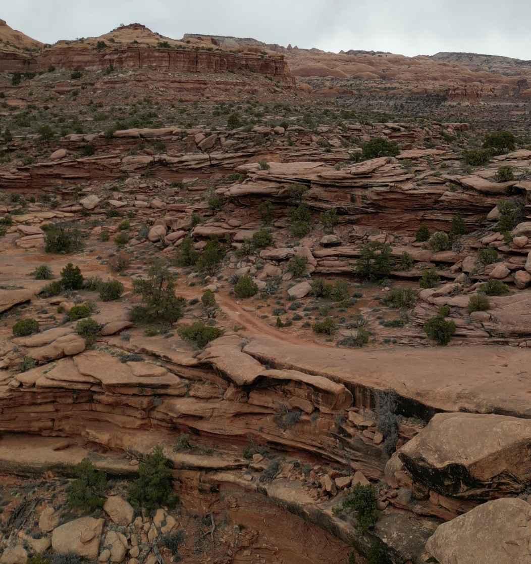
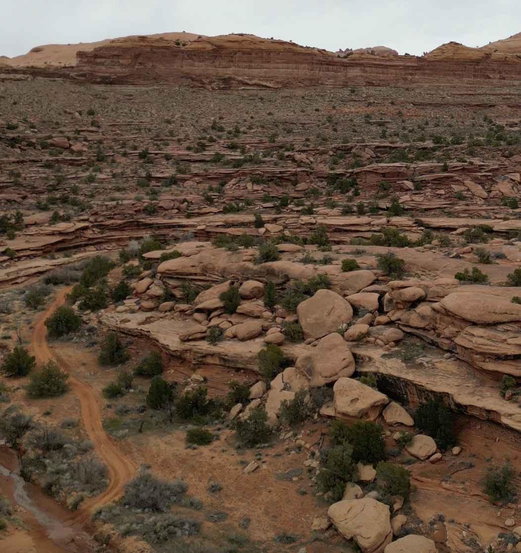
This is a beautiful detour off of Behind the Rocks and gives quite a challenge and a break from the normal Moab EJS Safari Route trails. Large boulder crawls, rock gardens on inclines, and very strategic technical climbs for those looking for mental stimulation of where to put their wheels to accomplish the trail. While there are a few bypasses, not all of the obstacles offer this advantage which increases the difficulty rating. Additionally, there are obstacles along the route that are purely optional which could increase the rating. (White Knuckle Hill, Roller Coaster, and Hummer Hill are an option back to the BtR trailhead) Plenty of trees for shade and breaks in some areas, places to stop along the trail without blocking the travel route, and your normal Moab loose dirt, sand, and then solid slick-rock combo.
Photos of Hunter Canyon (via Behind the Rocks)
Difficulty
There are several large climbs, being off camber depending on 2-door, 4-door, or Gladiator length. Some vehicles with lockers and 40" tires even had some difficulty in the cold getting traction. A few climbs can be filled with water feet deep before a climb. Washouts are possible. All of the vehicles listed above would be ideally equipped with a companion vehicle, recovery gear, lockers, and tires 37" or taller. Smaller and more nimble vehicles can make this if built more as buggies willing to accept body damage.
Status Reports
Hunter Canyon (via Behind the Rocks) can be accessed by the following ride types:
- High-Clearance 4x4
Hunter Canyon (via Behind the Rocks) Map
Popular Trails

Turtle Canyon Road
Cedar Hollow OHV Trail FS 80203
Sand/Lamb Point Loop Road (BLM05)
The onX Offroad Difference
onX Offroad combines trail photos, descriptions, difficulty ratings, width restrictions, seasonality, and more in a user-friendly interface. Available on all devices, with offline access and full compatibility with CarPlay and Android Auto. Discover what you’re missing today!
