Kent's Lakes to LeBaron Lake (FS 40137)
Total Miles
15.8
Technical Rating
Best Time
Spring, Summer, Fall
Trail Type
High-Clearance 4x4 Trail
Accessible By
Trail Overview
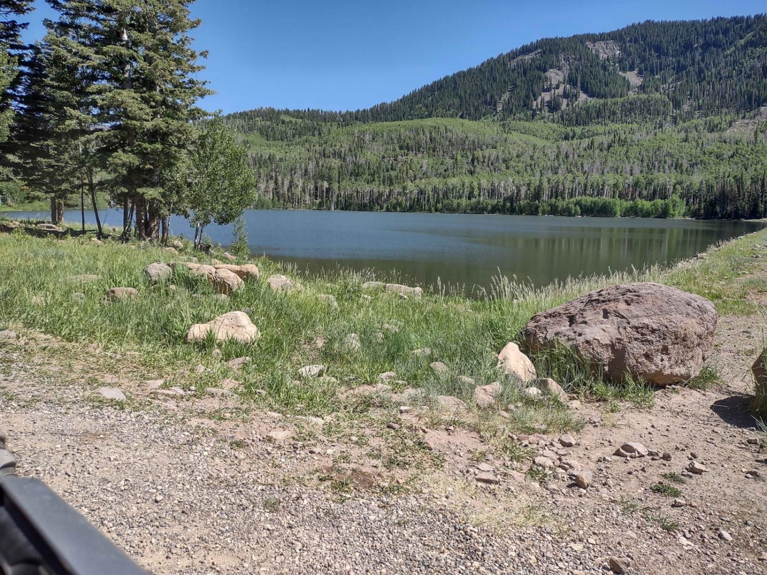
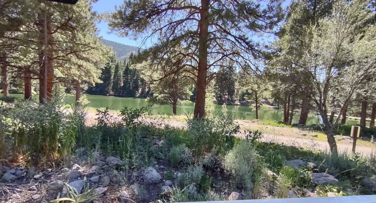
Kent's Lakes to LeBaron Lake is a 16-mile trail that rises 3,000 feet in elevation and goes by several lakes and reservoirs. It crosses through some private land, but the majority of it is in the Fishlake National Forest. The west end of the trail by Little Reservoir begins with a half mile of pavement. The rest of the trail is dirt. This is an area used by campers and fishermen, so traffic on the road will be busy at times. In some areas the road is narrow, but it's well maintained. The views are spectacular as you move from lake to lake up and over the mountains. In places, you break out of the trees into huge open meadows on the tops of these mountains. Going west to east, the first lake is Little Reservoir. Then you have Lower, Middle, and Upper Kent's Lakes. Then you go by the Anderson Meadow Reservoir and finally LeBaron Lake. Kent's Lake is stocked with different varieties of trout. Anderson Meadow Reservoir was drained for repairs, and the DNR planned to have it open by the fall of 2023. This reservoir, when filled, is a favorite for brook and rainbow trout. LeBaron Lake is a good place for anglers to catch brook and rainbow trout or Arctic Grayling. Remember to go slowly by campgrounds and private residences to keep the dust down. The hazards on this road will be oncoming traffic taking their share out of the middle. Otherwise, it's an easy and beautiful drive. Remember, to off-road legally in Utah, you need the online education course certificate and an OHV sticker.
Photos of Kent's Lakes to LeBaron Lake (FS 40137)
Difficulty
Dust and oncoming traffic are the only hazards on this trail.
Kent's Lakes to LeBaron Lake (FS 40137) can be accessed by the following ride types:
- High-Clearance 4x4
- SxS (60")
- ATV (50")
- Dirt Bike
Kent's Lakes to LeBaron Lake (FS 40137) Map
Popular Trails
Loop Road Trail FR Rd 636

Baker Hot Springs North Entrance
Bull Valley Trail
House Rock Valley Road North (Utah)
The onX Offroad Difference
onX Offroad combines trail photos, descriptions, difficulty ratings, width restrictions, seasonality, and more in a user-friendly interface. Available on all devices, with offline access and full compatibility with CarPlay and Android Auto. Discover what you’re missing today!
