Lower Finger Ridge
Total Miles
10.9
Technical Rating
Best Time
Spring, Summer, Fall, Winter
Trail Type
Full-Width Road
Accessible By
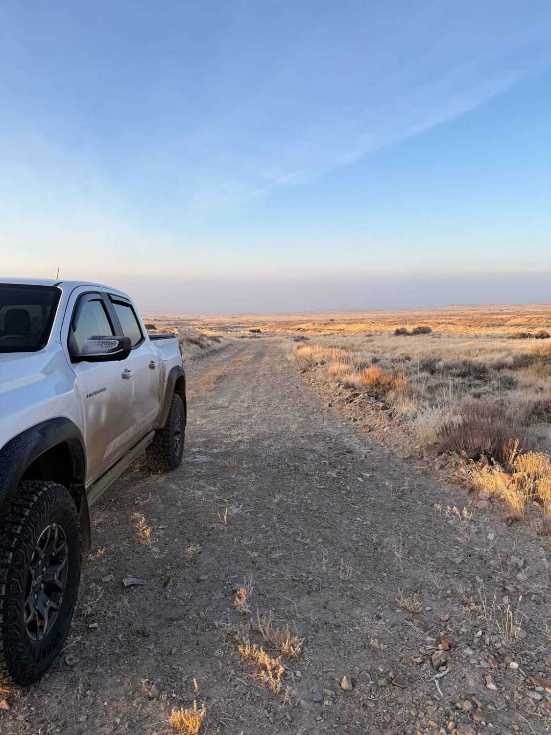
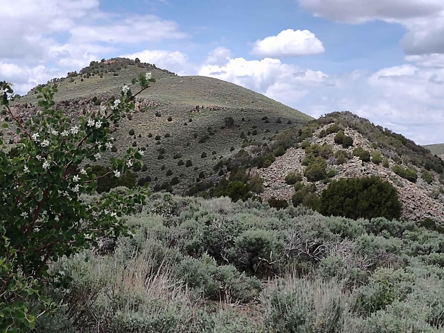
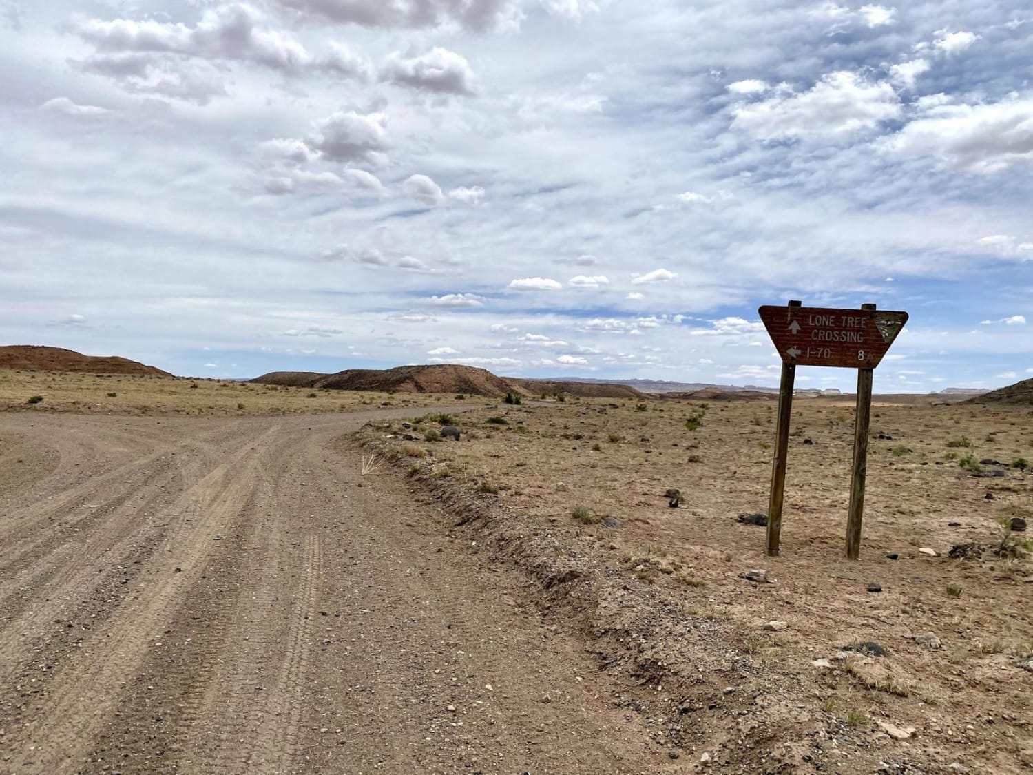
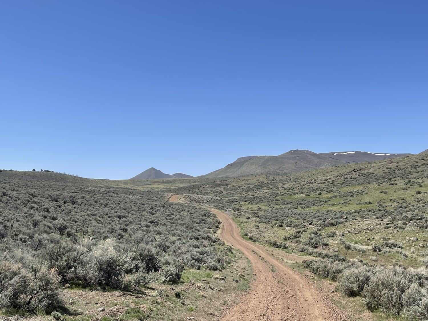
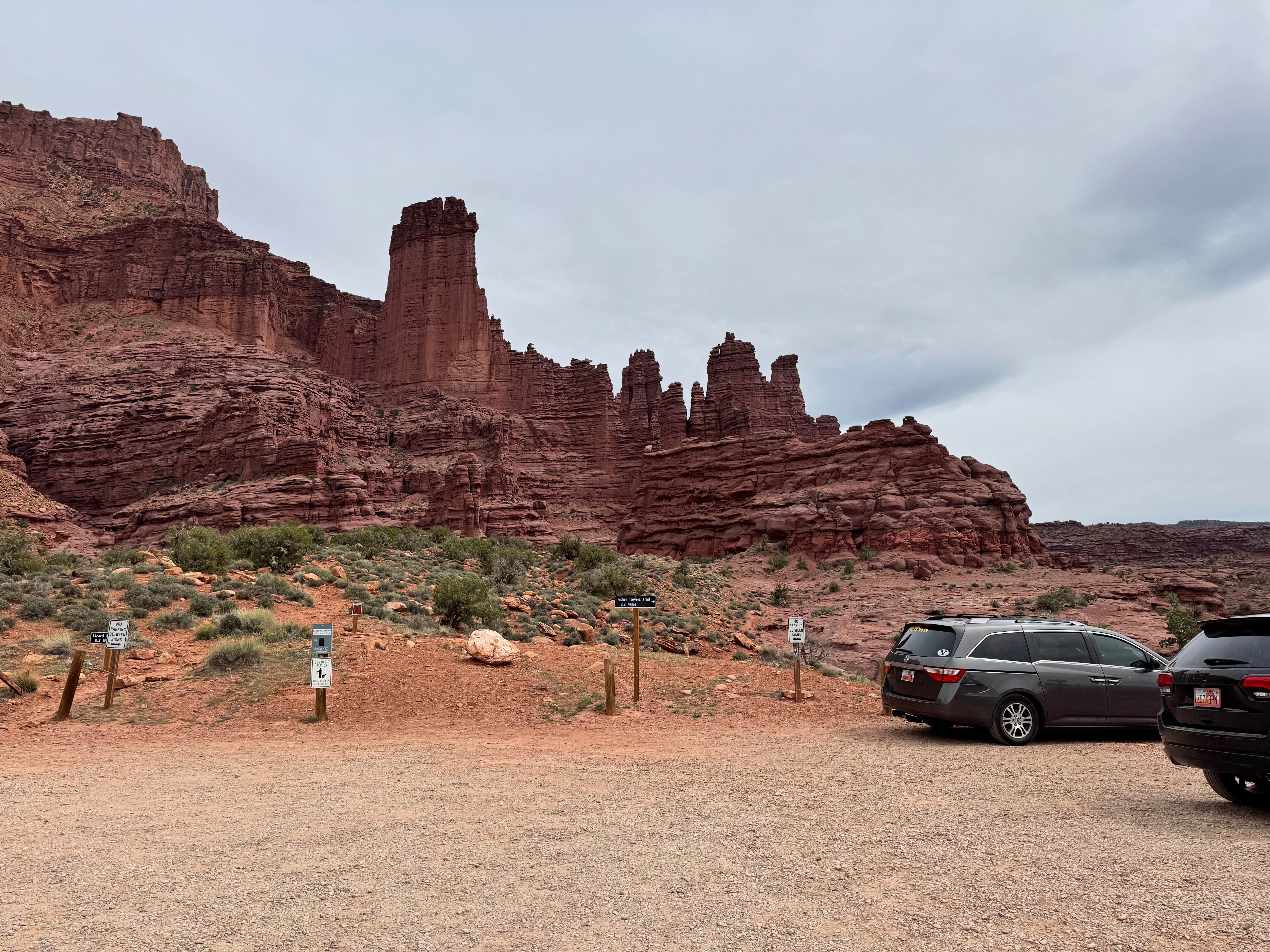
Trail Overview
This trail offers a rugged yet manageable adventure, primarily consisting of gravel with occasional larger rocks scattered along the path. While most of the trail is passable, several washouts can present challenges, particularly for vehicles with low ground clearance. These washouts can make the drive more difficult, so caution is recommended. The trail can be completed in two-wheel drive under dry conditions. However, if the trail is wet or covered in snow, a four-wheel drive will likely be necessary in certain sections to ensure safe passage. It's important to keep this in mind if the weather has been unpredictable. You can start the trail from either end, depending on your preference. On the north side of the trail, the route runs along a private road adjacent to a military bombing range, so it's crucial to stay on the designated roads and follow any posted signs or guidelines. Be aware of your surroundings and always prioritize safety when passing near the military zone. This trail offers a thrilling off-road experience with the right mix of challenges and scenic views, but preparation is key, especially if weather conditions are unfavorable.
Photos of Lower Finger Ridge

Difficulty
This is a mostly gravel road with some small washouts to cross. If wet or snowy some areas may be a little more difficult to navigate.
Status Reports
Lower Finger Ridge can be accessed by the following ride types:
- High-Clearance 4x4
- SUV
- SxS (60")
- ATV (50")
- Dirt Bike
Lower Finger Ridge Map
Popular Trails
Monroe Road Cut-Across (FS #41204/BLM #5162)
Willow Springs Wash to Lone Tree Crossing
Fisher Tower Road
The onX Offroad Difference
onX Offroad combines trail photos, descriptions, difficulty ratings, width restrictions, seasonality, and more in a user-friendly interface. Available on all devices, with offline access and full compatibility with CarPlay and Android Auto. Discover what you’re missing today!