Long Canyon
Total Miles
7.5
Technical Rating
Best Time
Spring, Summer, Fall, Winter
Trail Type
Full-Width Road
Accessible By
Trail Overview
Long Canyon is a beautiful and easy trail, beginning just off of 313 heading towards Dead Horse Park. Primarily rock, this trail has no major obstacles on it. Early on, there is a wash crossing that could prove problematic if a major rain event has happened. Later along the route, there is a giant rock underpass, followed by several switchbacks. It's important to note that larger vehicles will not fit through this iconic "rock tunnel", and there's no turnaround at or near this spot. (See pictures for reference.) Keep your eyes on the road for the stunning views. This route can be completed in either direction; be courteous to those traveling in the opposite direction. The road is wide for most of the trail, with places for passing near the narrow spots. There are large parking areas at each end of the trail for larger vehicles and airing up/down. Near the top of the canyon, there is a large area for possible viewing of mountain sheep. Please Tread Lightly in these areas, as this is a protected environment and birthing ground for the sheep. Remember to stay at least 25 yards (75-100 feet) away from wildlife.
Photos of Long Canyon


Difficulty
This is a wide rock trail. It is unmaintained and mostly shelf road above a deep steep canyon. You may encounter shallow water crossings and obstacles under 12 inches on the trail. There's a steep descent or hill climb in areas. The road is mostly two lanes wide, with places near the narrow spots for allowing other vehicles to pass.
Status Reports
Long Canyon can be accessed by the following ride types:
- High-Clearance 4x4
- SUV
- SxS (60")
- ATV (50")
- Dirt Bike
Long Canyon Map
Popular Trails

Trust Lands Singletrack (South)
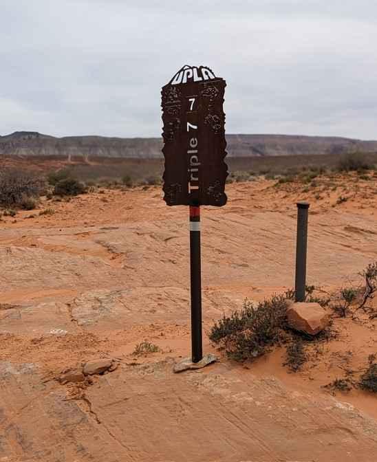
Triple 7


The onX Offroad Difference
onX Offroad combines trail photos, descriptions, difficulty ratings, width restrictions, seasonality, and more in a user-friendly interface. Available on all devices, with offline access and full compatibility with CarPlay and Android Auto. Discover what you’re missing today!