Millie Springs Road
Total Miles
5.6
Technical Rating
Best Time
Fall, Summer, Spring
Trail Type
Full-Width Road
Accessible By
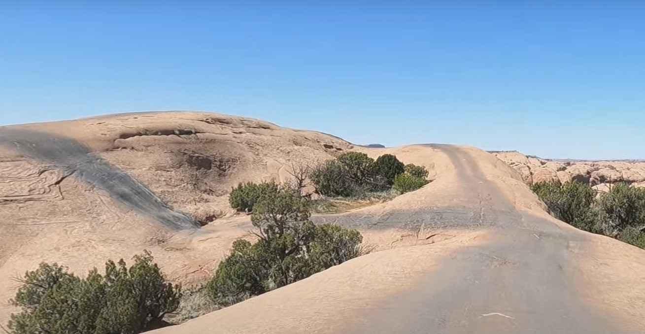
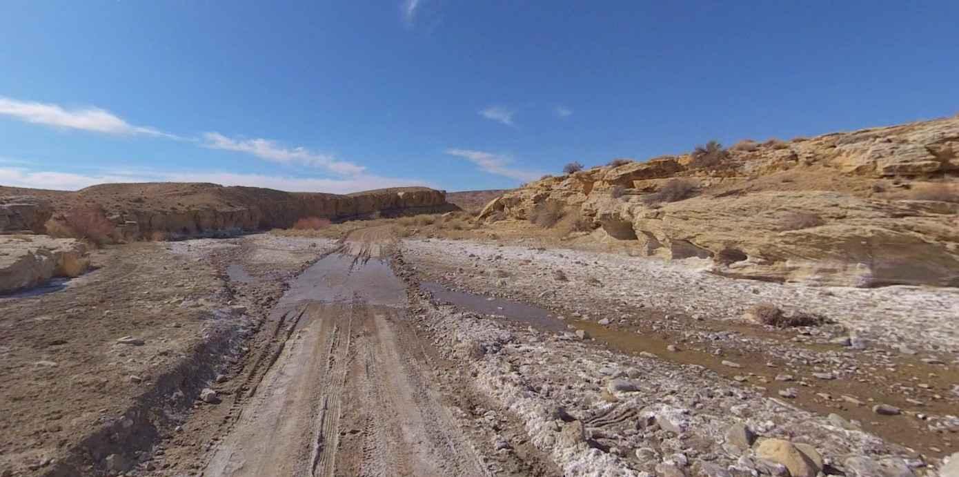
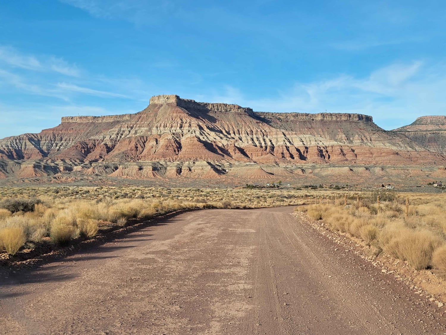
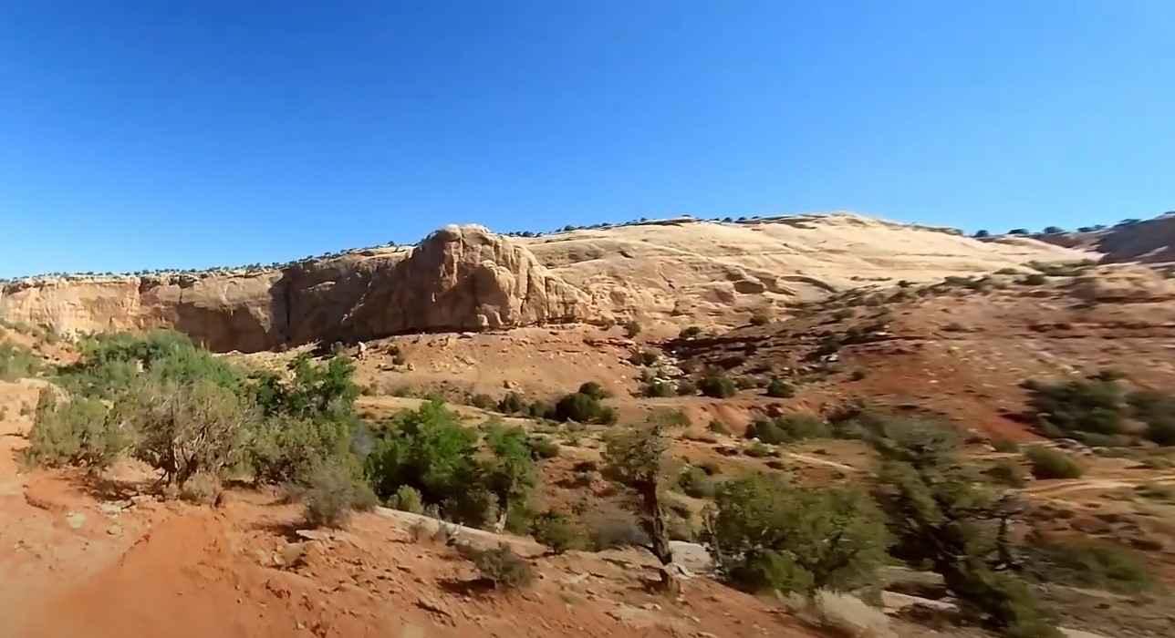
Trail Overview
This trail is a well-maintained gravel road that leads from Highway 39 North to where it turns and heads East for a bit before ending at a 3 way intersection between Lewis Ridge, Thousand Dollar Ridge, and Millie Springs Road. This trail is entirely on private property, so be sure to stay on the trail and respect the cattle and surrounding land. While there is no gate closing this road for the winter, this trail will be inaccessible during the winter due to the seasonal closure of Highway 39 and deep snow. This trail will likely be busy during hunting season due to the surrounding hunting area.
Photos of Millie Springs Road


Difficulty
This is a well-maintained gravel road without any obstacles.
Status Reports
Millie Springs Road can be accessed by the following ride types:
- High-Clearance 4x4
- SUV
- SxS (60")
- ATV (50")
- Dirt Bike
Millie Springs Road Map
Popular Trails
Fins and Things
Eggnog Star Springs Road-BLM13000
Sheep Bridge Road
Josie Morris Loop
The onX Offroad Difference
onX Offroad combines trail photos, descriptions, difficulty ratings, width restrictions, seasonality, and more in a user-friendly interface. Available on all devices, with offline access and full compatibility with CarPlay and Android Auto. Discover what you’re missing today!