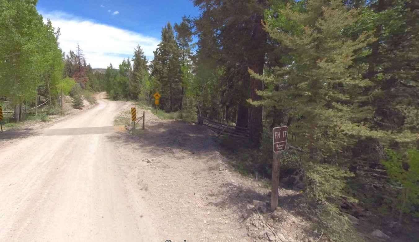
Old Escalante Road FH 17
Total Miles
21.9
Technical Rating
Best Time
Spring, Summer, Fall
Trail Type
Full-Width Road
Accessible By
Trail Overview
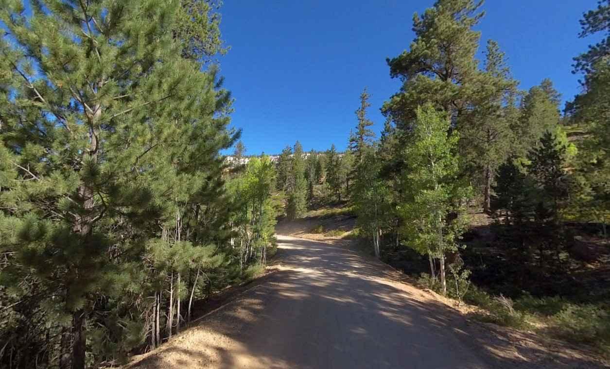
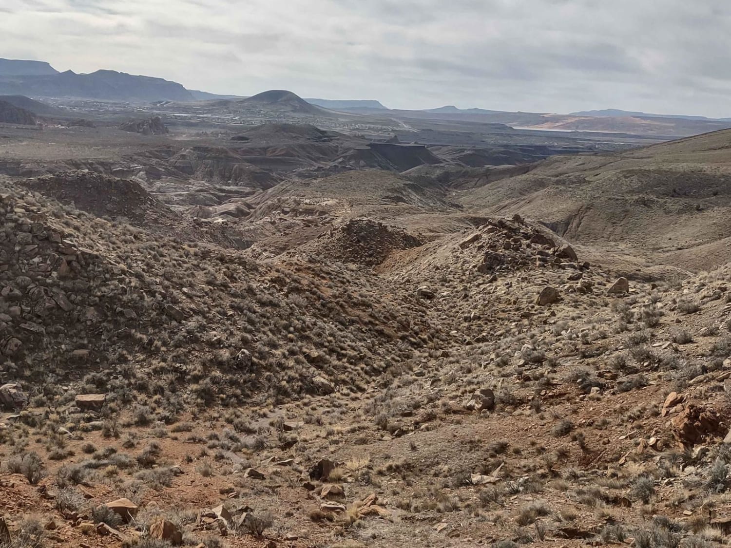
Old Escalante Road FH 17 is a 22-mile point-to-point trail located in Garfield County, Utah, and runs through the Dixie National Forest (Escalante Ranger District). Utah Forest Road 17 (FH 17) is a very scenic, fairly wide drive through the high mountains of Garfield County, in south-central Utah. This is an improved dirt road that is generally wide and smooth. It is usually impassable from late October through late June or early July (depending on snow). It is not generally snow-free until late June or even July in some years. The road tops out above 9,000 feet. It's steep in parts, hitting an 11% maximum gradient. Cell phone service is only available while close to Escalante. The nearest services are in Escalante as well.
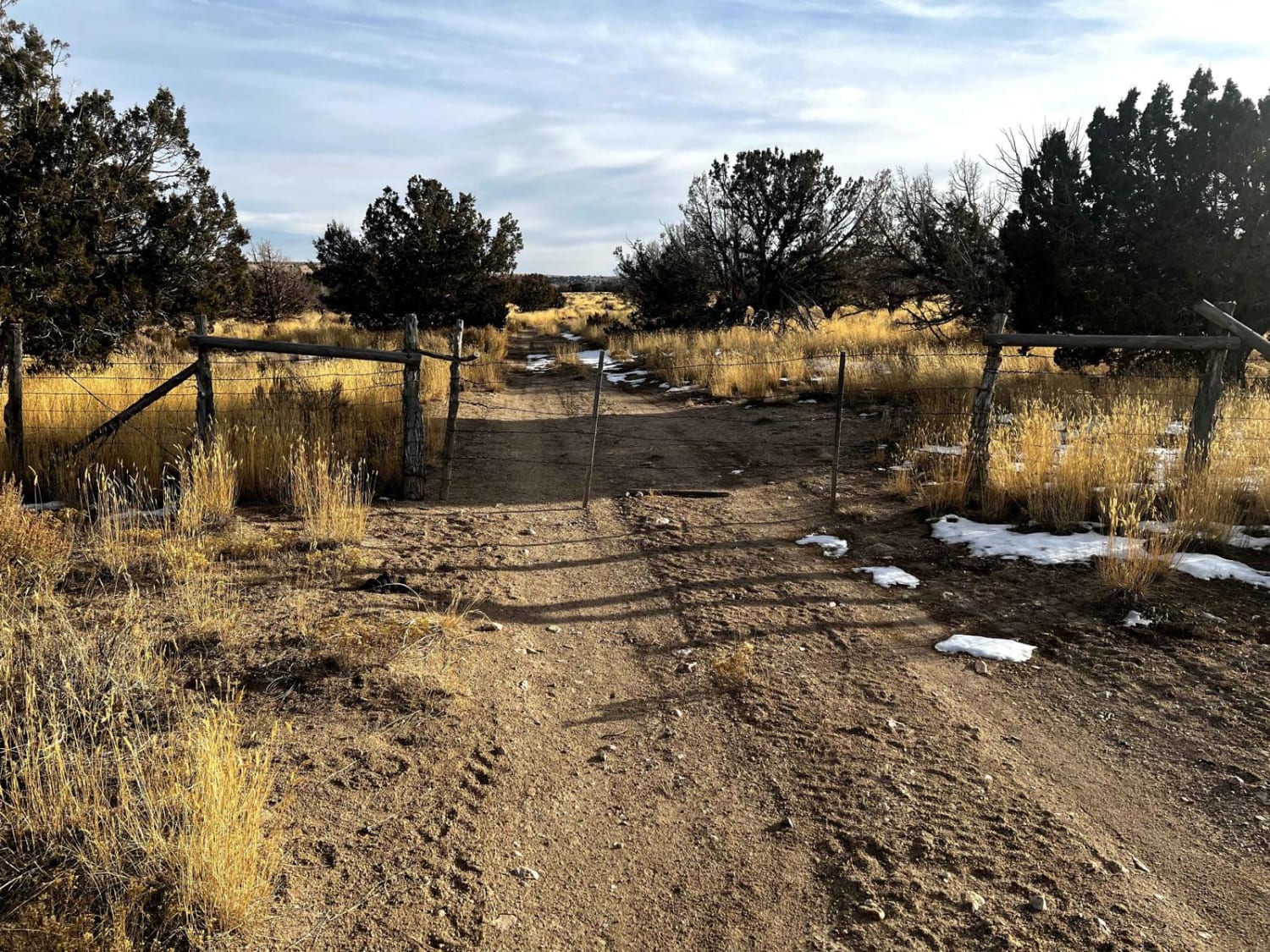
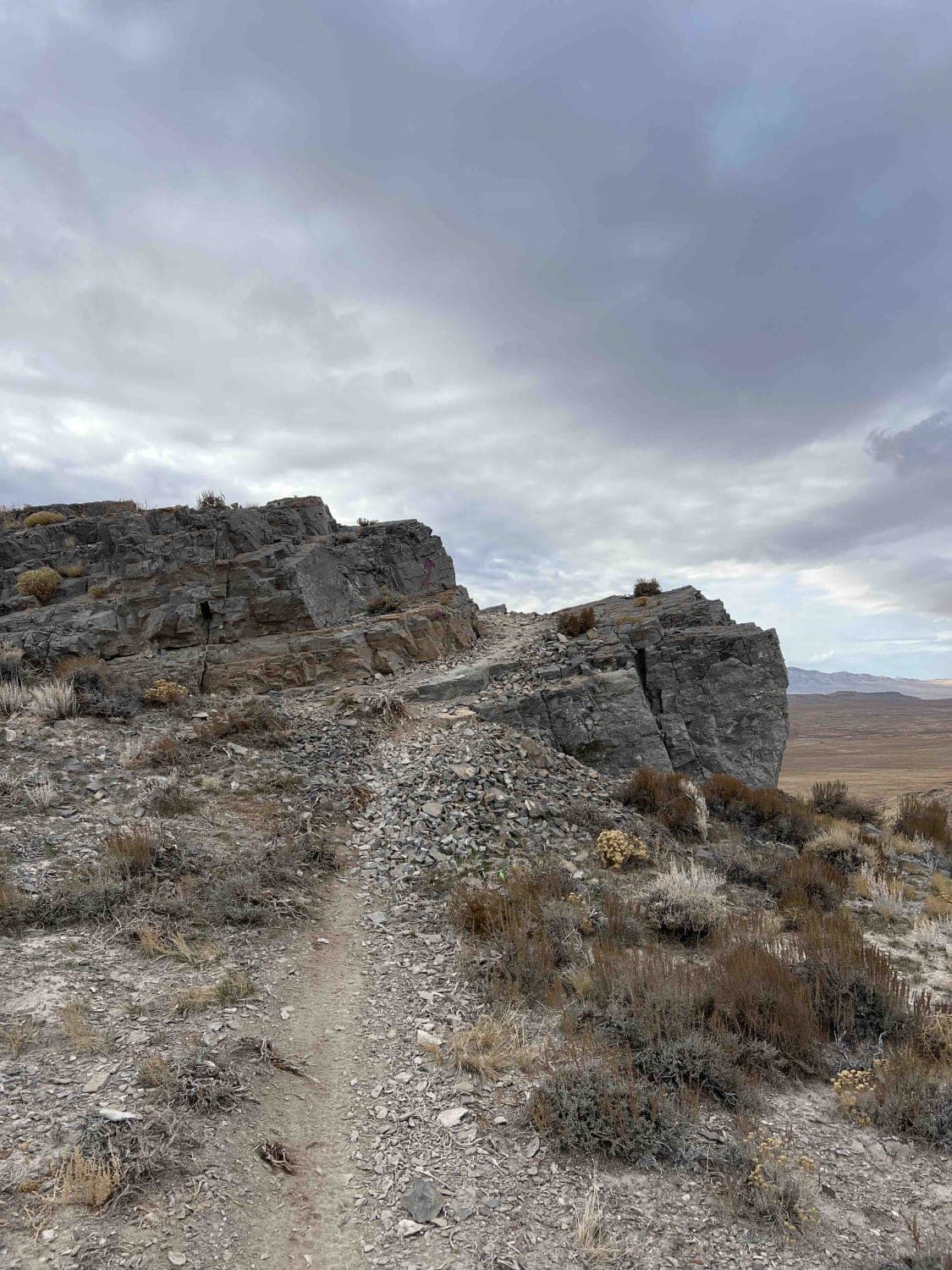
Photos of Old Escalante Road FH 17
Difficulty
The trail consists of loose rocks, dirt, and sand with some slickrock surfaces. Mud holes are possible, but there are no steps higher than 12 inches. 4WD may be required, and aggressive tires are a plus.
History
Located about 1.6 miles from the east end (Highway 12) on the north side of the road are some ancient Indian pictographs called "The Circle of Life." They are about 175 yards off the road. The trailhead is located at 37.76460, -111.71090 and the Pictographs are located at 37.76548, -111.71173.
Status Reports
Old Escalante Road FH 17 can be accessed by the following ride types:
- High-Clearance 4x4
- SUV
- SxS (60")
- ATV (50")
- Dirt Bike
Old Escalante Road FH 17 Map
Popular Trails

Cir-Main Canyon - FR 70046
Sidewinder
Red Cliffs Hidden Canyons View
The onX Offroad Difference
onX Offroad combines trail photos, descriptions, difficulty ratings, width restrictions, seasonality, and more in a user-friendly interface. Available on all devices, with offline access and full compatibility with CarPlay and Android Auto. Discover what you’re missing today!