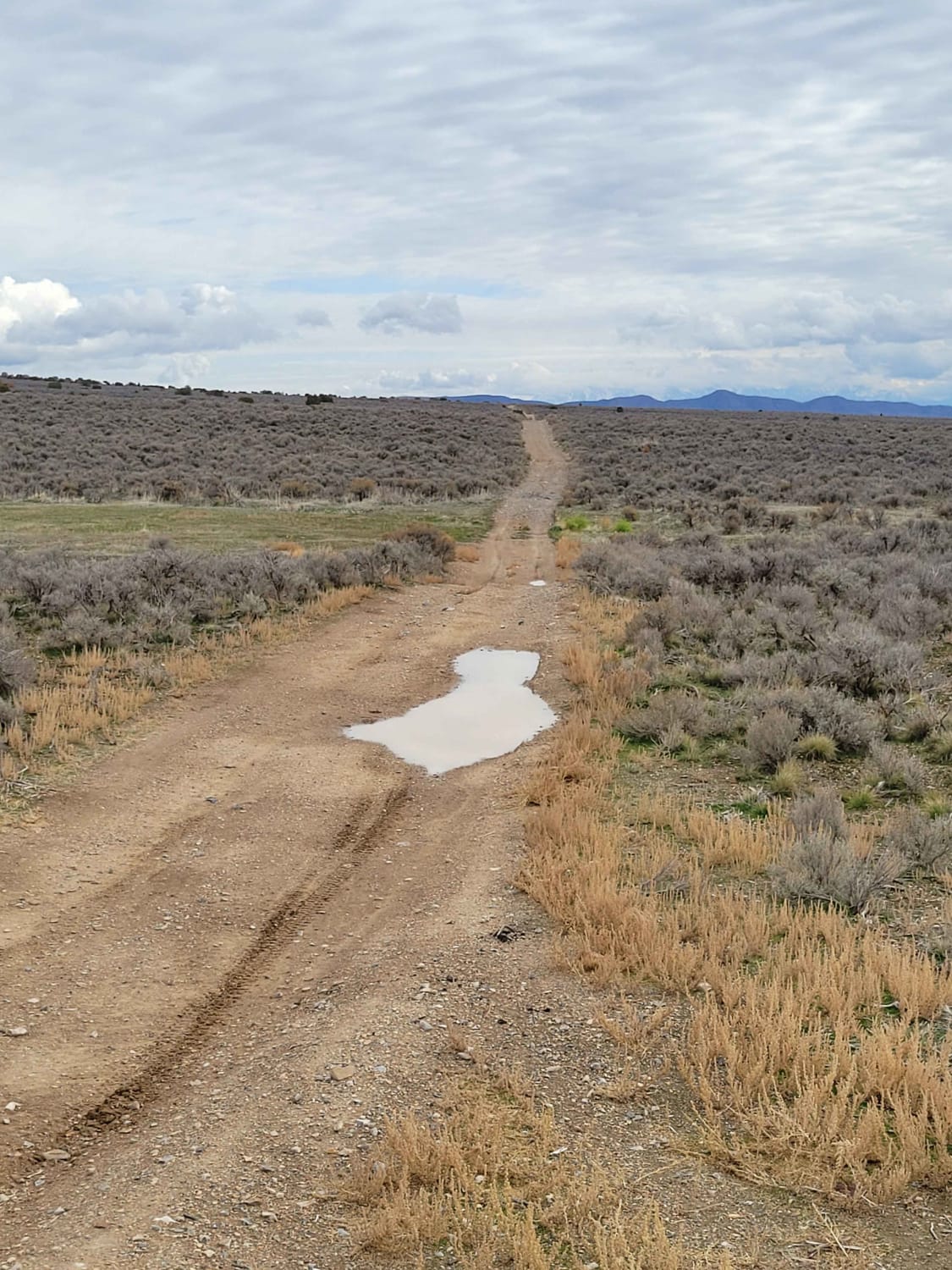
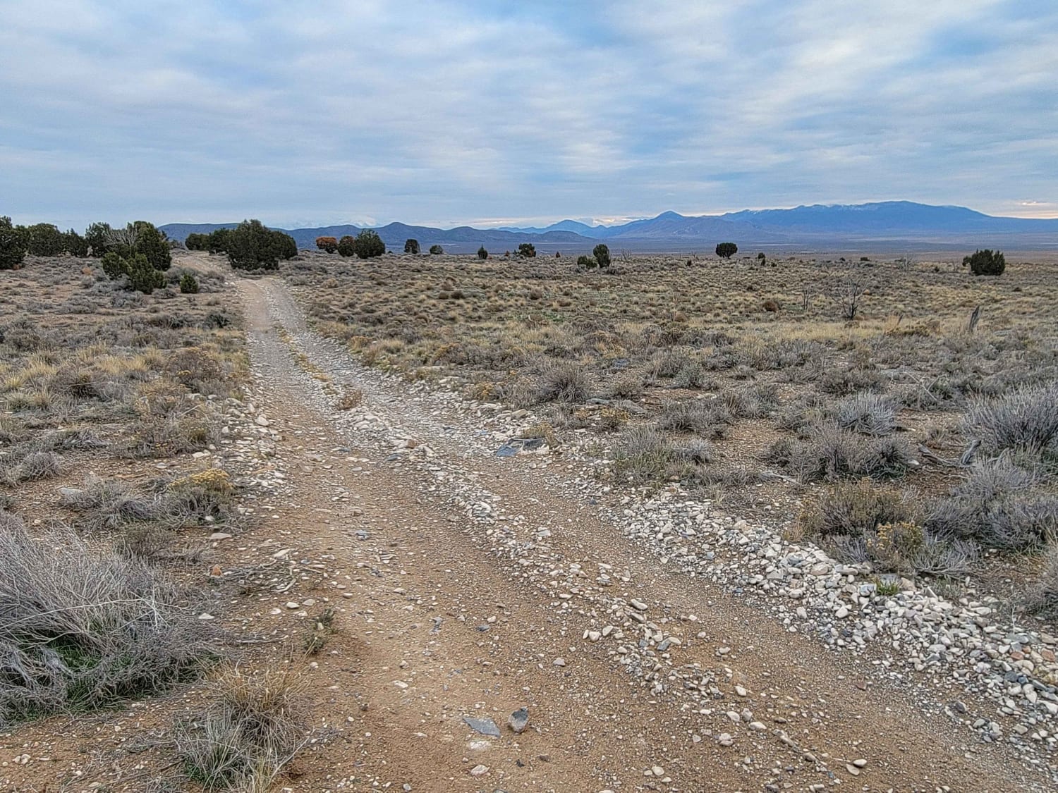
Off-Road Trails in Utah
Discover off-road trails in Utah
Learn more about Packard Canyon Cutoff Trail 
Packard Canyon Cutoff Trail
Total Miles
2.3
Tech Rating
Moderate
Best Time
Spring, Summer, Fall
Learn more about Packard Canyon Lower Trail 
Packard Canyon Lower Trail
Total Miles
0.3
Tech Rating
Easy
Best Time
Spring, Summer, Fall
Learn more about Packard Canyon Trail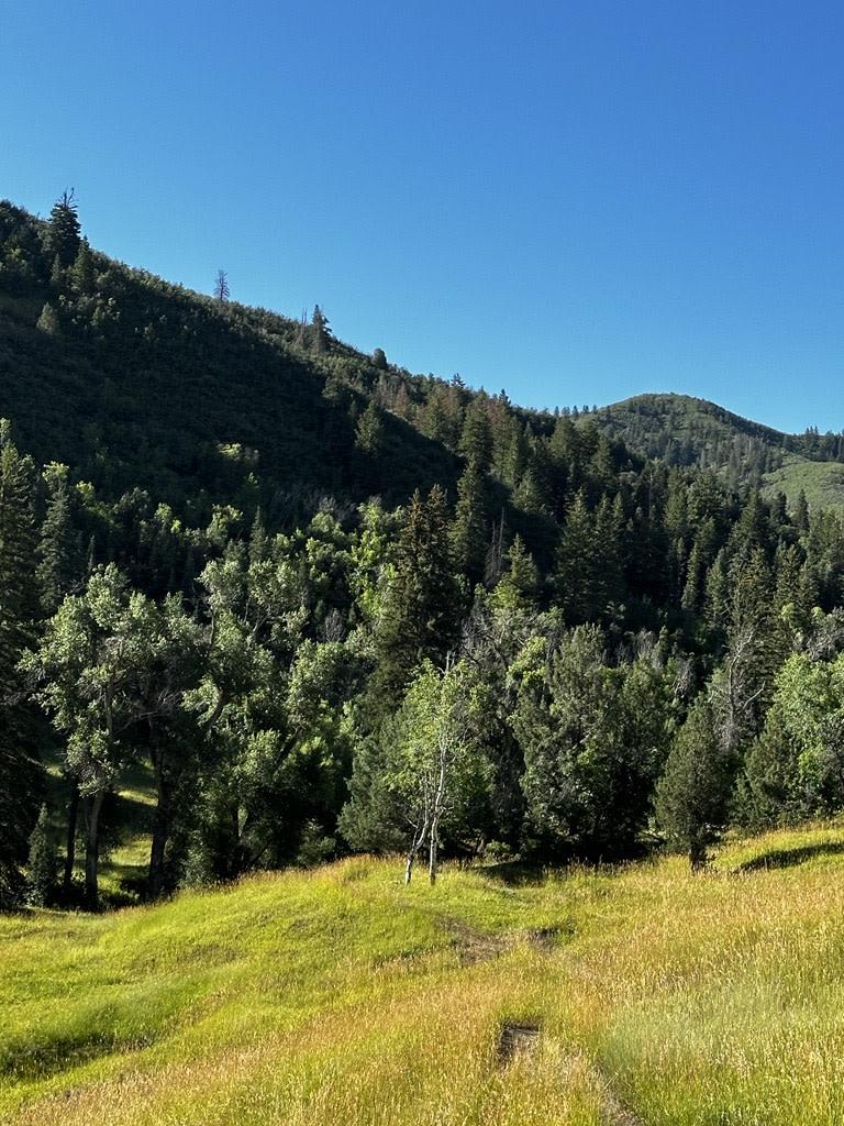
Packard Canyon Trail
Total Miles
1.7
Tech Rating
Moderate
Best Time
Spring, Summer, Fall
Learn more about Page Ranch Road-FR30029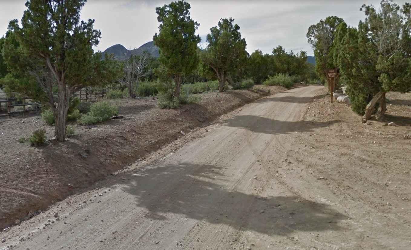
Page Ranch Road-FR30029
Total Miles
9.7
Tech Rating
Easy
Best Time
Spring, Summer, Fall, Winter
Learn more about Pahcoon Passage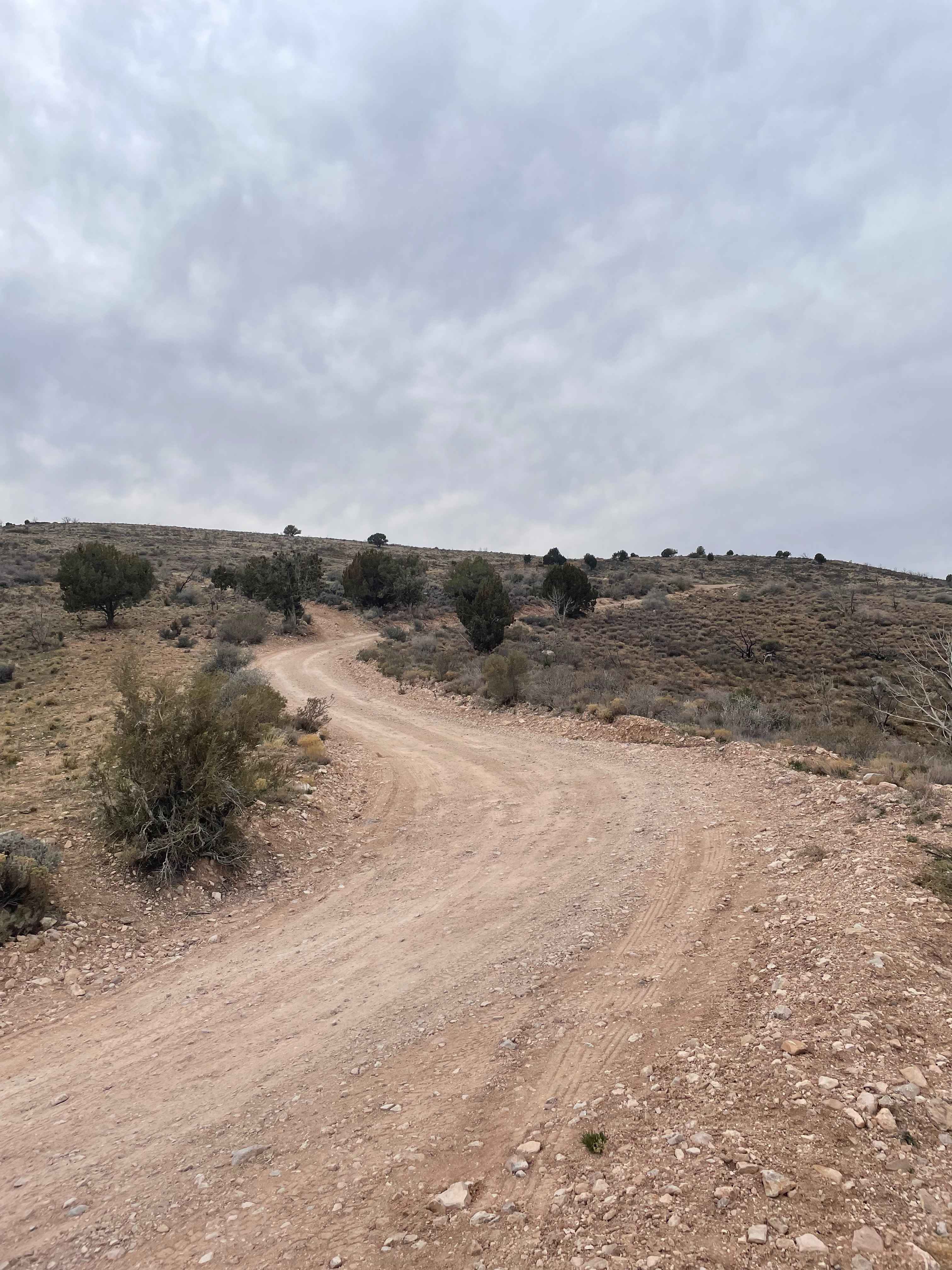
Pahcoon Passage
Total Miles
7.2
Tech Rating
Easy
Best Time
Spring, Summer, Winter, Fall
Learn more about Pahvant Butte Bowl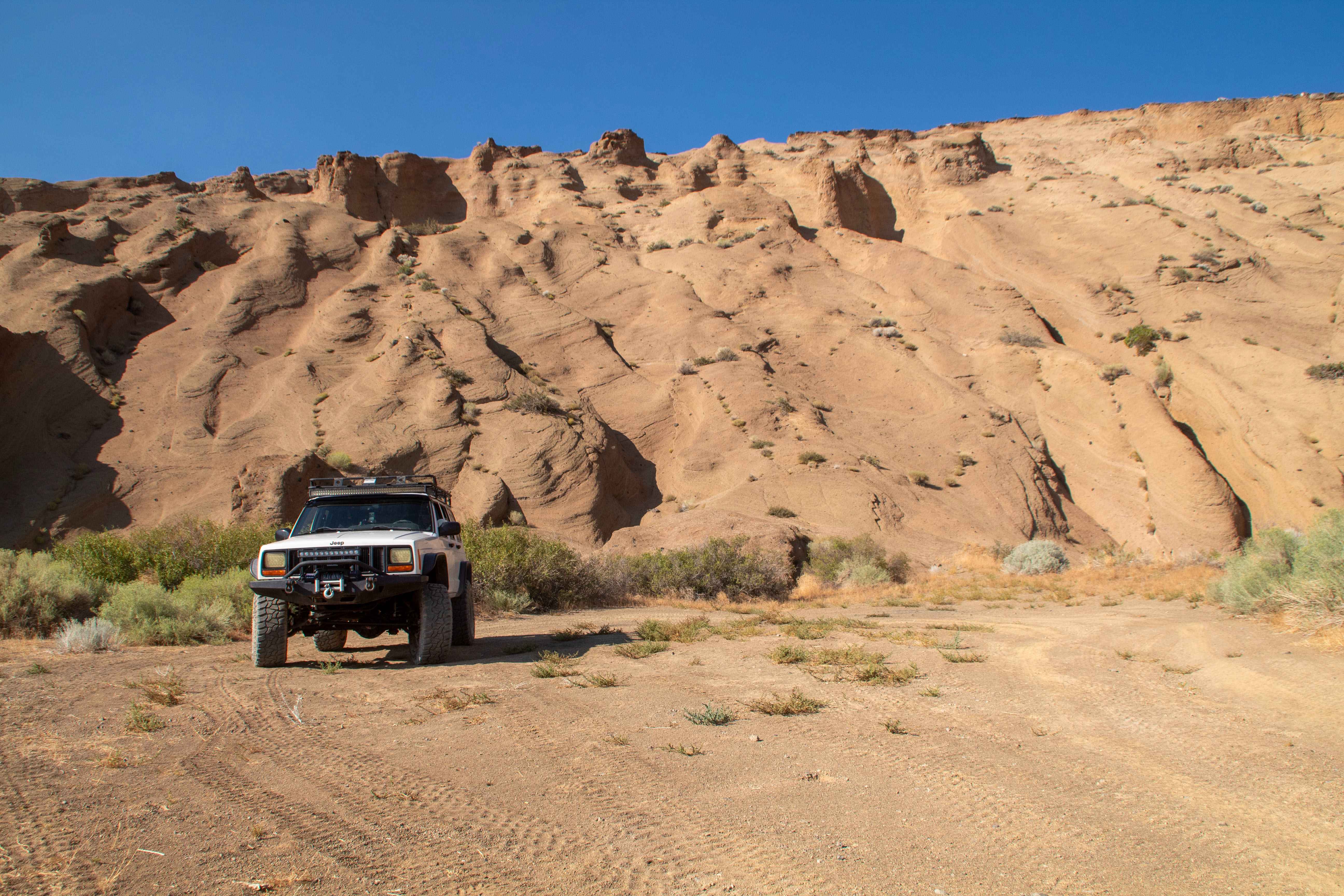
Pahvant Butte Bowl
Total Miles
0.4
Tech Rating
Easy
Best Time
Spring, Summer, Fall, Winter
Learn more about Pahvant Butte Loop
Pahvant Butte Loop
Total Miles
30.3
Tech Rating
Easy
Best Time
Spring, Summer, Fall, Winter
Learn more about Paiute 01 -FS01A
Paiute 01 -FS01A
Total Miles
5.4
Tech Rating
Easy
Best Time
Spring, Summer, Fall
Learn more about Paiute 1 to Richfield-Pioneer
Paiute 1 to Richfield-Pioneer
Total Miles
5.5
Tech Rating
Easy
Best Time
Spring, Summer, Fall
Learn more about Paiute ATV Trail Barney Lake to Monroe Peak
Paiute ATV Trail Barney Lake to Monroe Peak
Total Miles
15.9
Tech Rating
Moderate
Best Time
Summer, Fall
Learn more about Paiute ATV Trail Beaver Creek over the Tushars
Paiute ATV Trail Beaver Creek over the Tushars
Total Miles
17.7
Tech Rating
Easy
Best Time
Spring, Summer, Fall, Winter
Learn more about Paiute ATV Trail Bullion Canyon and Bullion Falls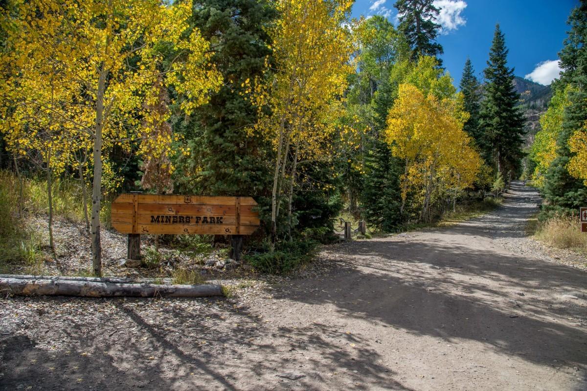
Paiute ATV Trail Bullion Canyon and Bullion Falls
Total Miles
4.8
Tech Rating
Easy
Best Time
Spring, Summer, Fall, Winter
Learn more about Paiute ATV Trail Circleville Marysvale Loop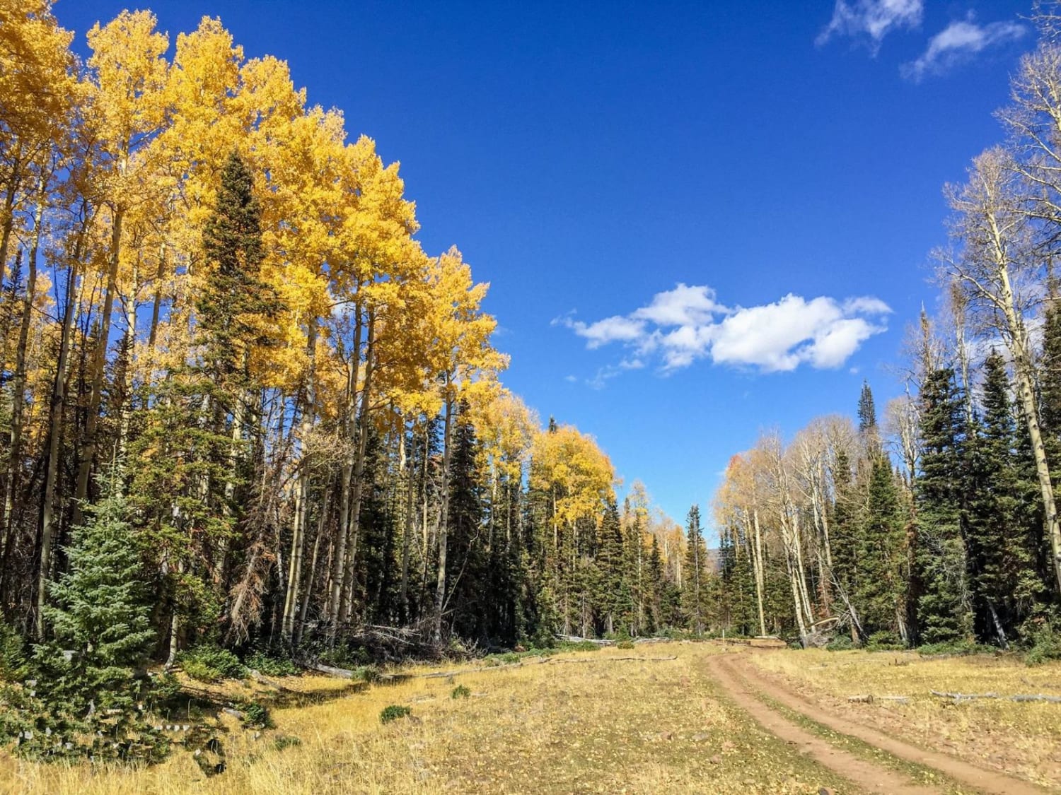
Paiute ATV Trail Circleville Marysvale Loop
Total Miles
26.0
Tech Rating
Moderate
Best Time
Summer, Fall
Learn more about Paiute ATV Trail Cottonwood Canyon Trail 77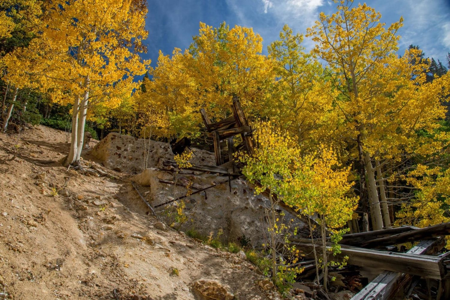
Paiute ATV Trail Cottonwood Canyon Trail 77
Total Miles
14.1
Tech Rating
Moderate
Best Time
Summer, Fall
Learn more about Paiute ATV Trail Dry Creek Monroe Mountains Loop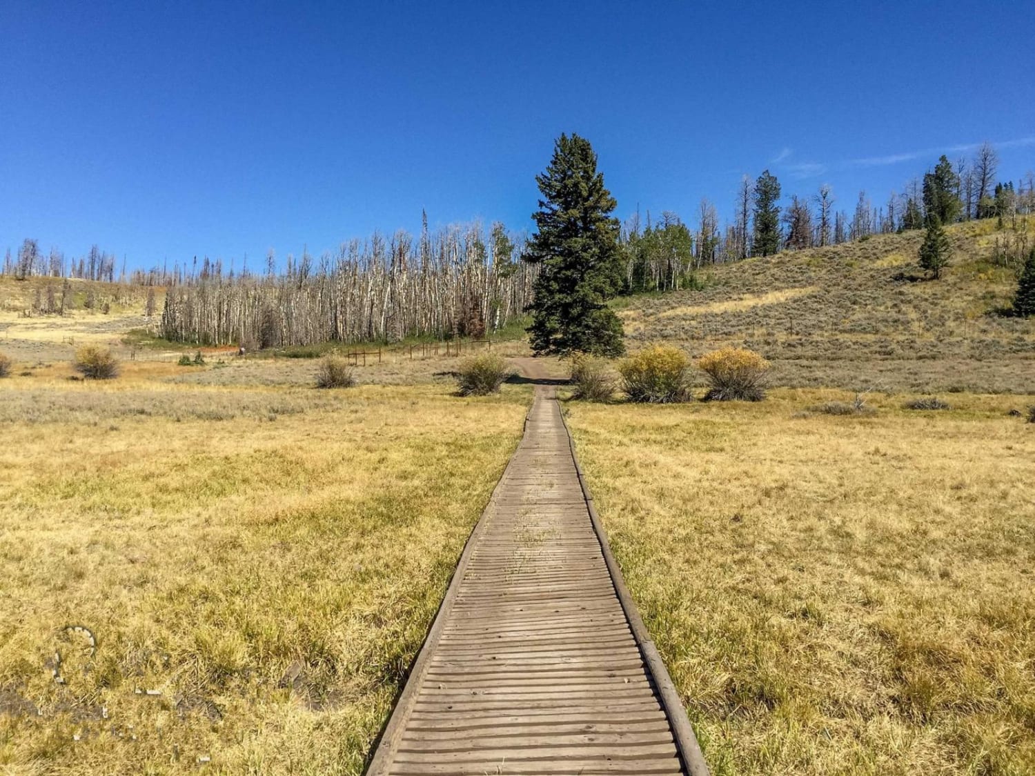
Paiute ATV Trail Dry Creek Monroe Mountains Loop
Total Miles
37.1
Tech Rating
Moderate
Best Time
Summer
Learn more about Paiute ATV Trail Rocky Ford
Paiute ATV Trail Rocky Ford
Total Miles
4.5
Tech Rating
Moderate
Best Time
Spring, Summer, Fall, Winter
Learn more about Paiute ATV Trail-Silver King Mine to Fremont State Park Loop
Paiute ATV Trail-Silver King Mine to Fremont State Park Loop
Total Miles
34.8
Tech Rating
Moderate
Best Time
Summer, Fall
Learn more about Paiute Side Trail
Paiute Side Trail
Total Miles
6.0
Tech Rating
Easy
Best Time
Spring, Summer, Fall
ATV trails in Utah

Learn more about 14 Mile Road
14 Mile Road
Total Miles
14.7
Tech Rating
Easy
Best Time
Spring, Summer, Fall, Winter


UTV/side-by-side trails in Utah
Learn more about 14 Mile Road
14 Mile Road
Total Miles
14.7
Tech Rating
Easy
Best Time
Spring, Summer, Fall, Winter
The onX Offroad Difference
onX Offroad combines trail photos, descriptions, difficulty ratings, width restrictions, seasonality, and more in a user-friendly interface. Available on all devices, with offline access and full compatibility with CarPlay and Android Auto. Discover what you’re missing today!