Paiute ATV Trail-Silver King Mine to Fremont State Park Loop
Total Miles
34.8
Technical Rating
Best Time
Summer, Fall
Trail Type
50" Trail
Accessible By
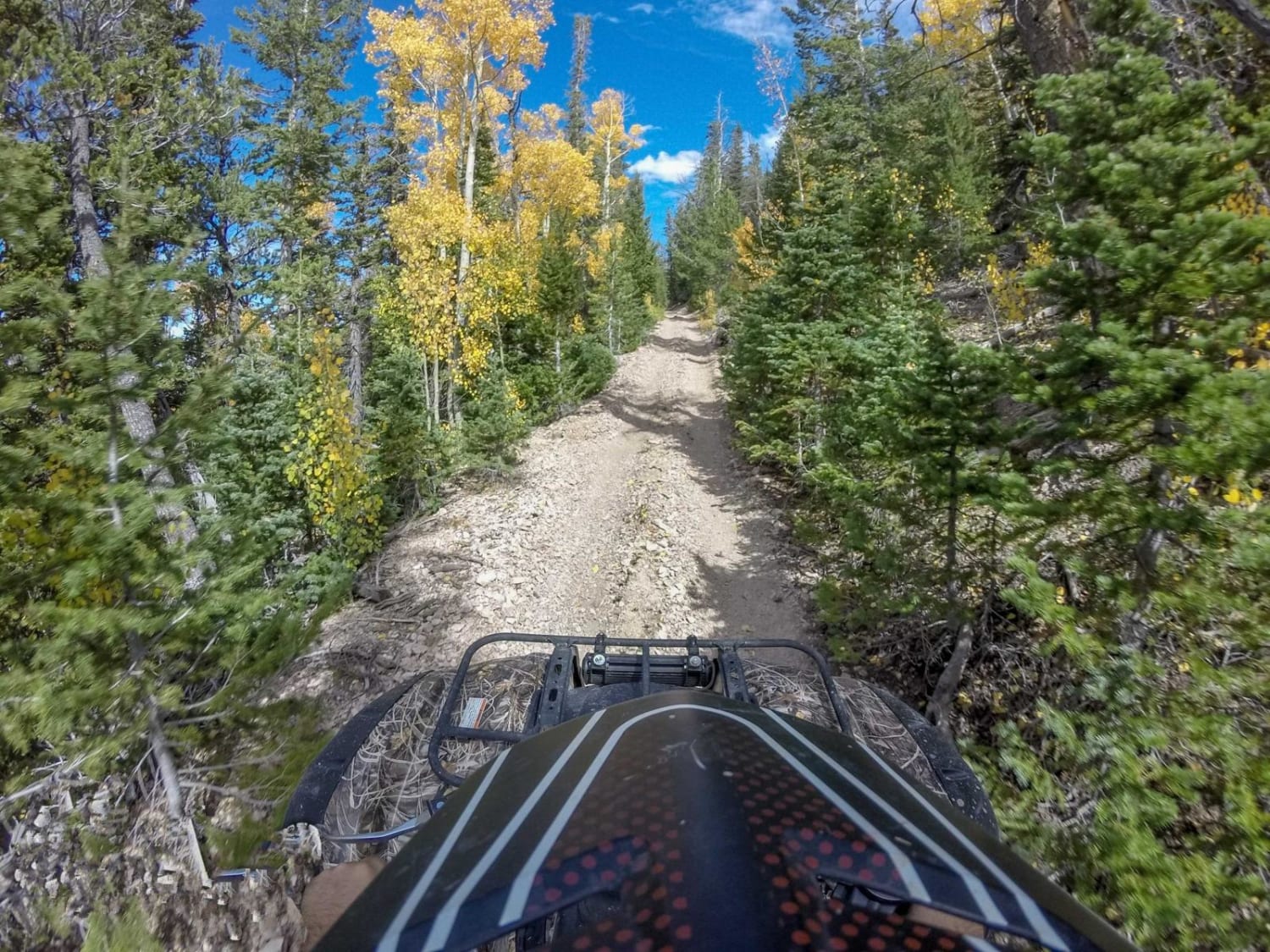
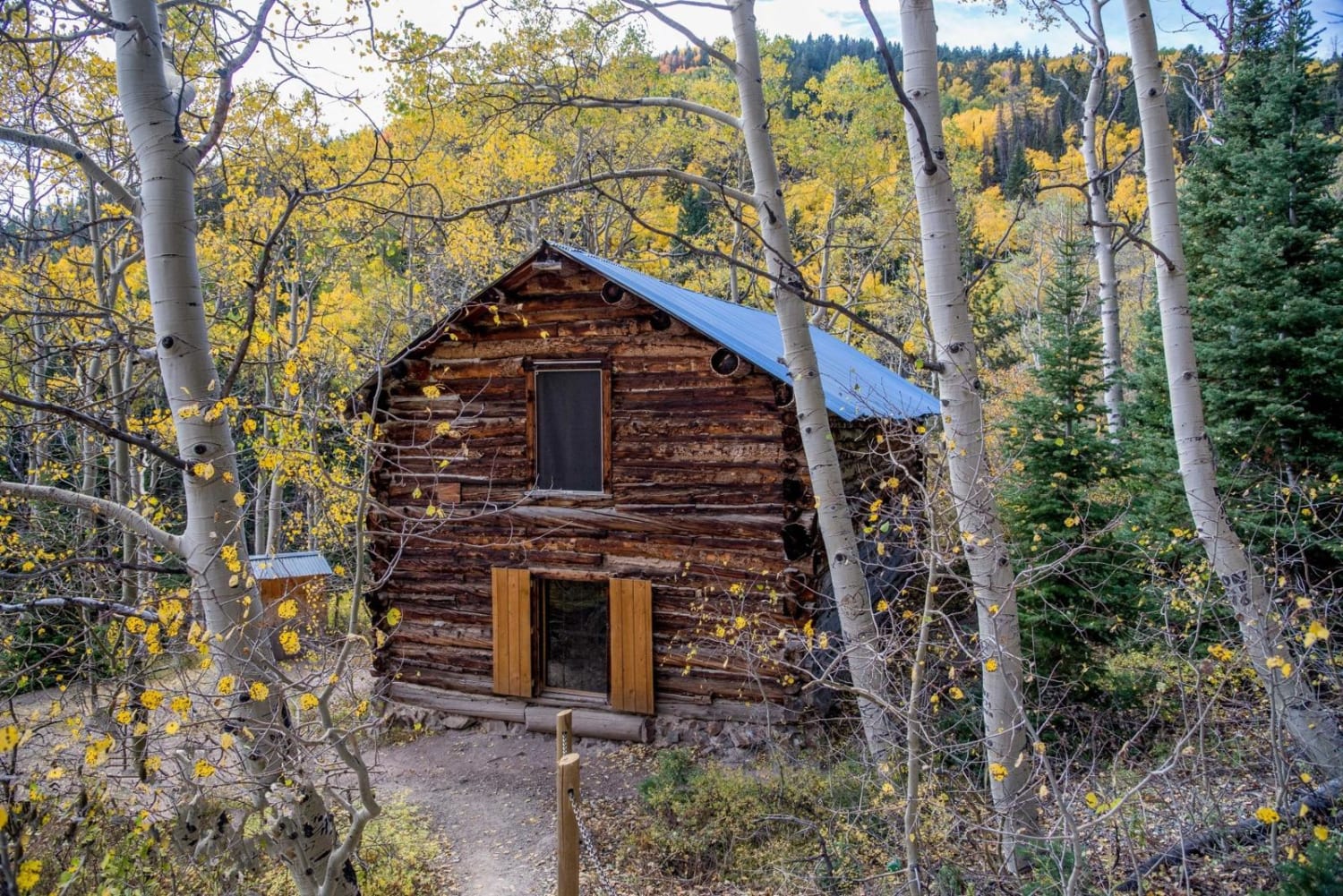
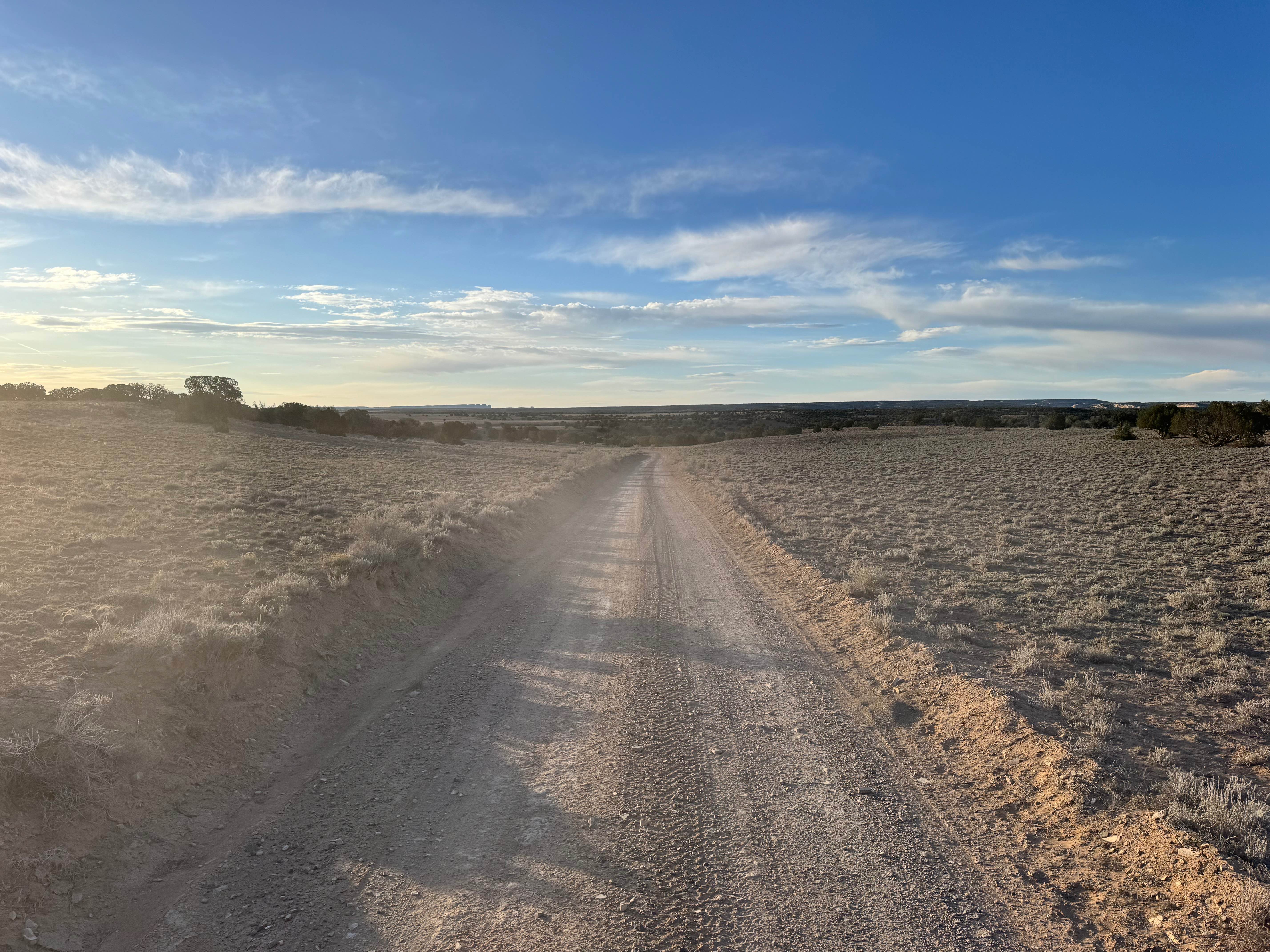
Trail Overview
This is one of the more popular trails on the entire trail system and for good reason. There is a lot of fun packed into this trail. You will start you ride taking trail 02 West of Marysvale and climb up Beaver Creek. Eventually you will meet trail 01 where you will take a right or head North. There are some great mountain views up to this point. You will then take the 50" Max Reid trail down into Fremont State Park where there are cool pictographs. From there you climb back into the mountains to the Silver King Mine and outdoor mining museum before returning to Beaver Creek Road.
Photos of Paiute ATV Trail-Silver King Mine to Fremont State Park Loop
Status Reports
Paiute ATV Trail-Silver King Mine to Fremont State Park Loop can be accessed by the following ride types:
- ATV (50")
- Dirt Bike
Paiute ATV Trail-Silver King Mine to Fremont State Park Loop Map
Popular Trails

Clear Creek/Mill Creek - FS #40583, PST15A
Power Line - FS 10574

Bjorkman Hollow - FR 70092
The onX Offroad Difference
onX Offroad combines trail photos, descriptions, difficulty ratings, width restrictions, seasonality, and more in a user-friendly interface. Available on all devices, with offline access and full compatibility with CarPlay and Android Auto. Discover what you’re missing today!