Paiute ATV Trail Dry Creek Monroe Mountains Loop
Total Miles
37.1
Technical Rating
Best Time
Summer
Trail Type
50" Trail
Accessible By
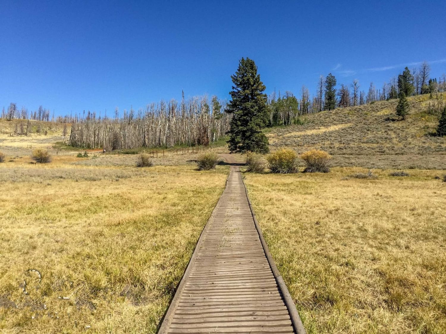
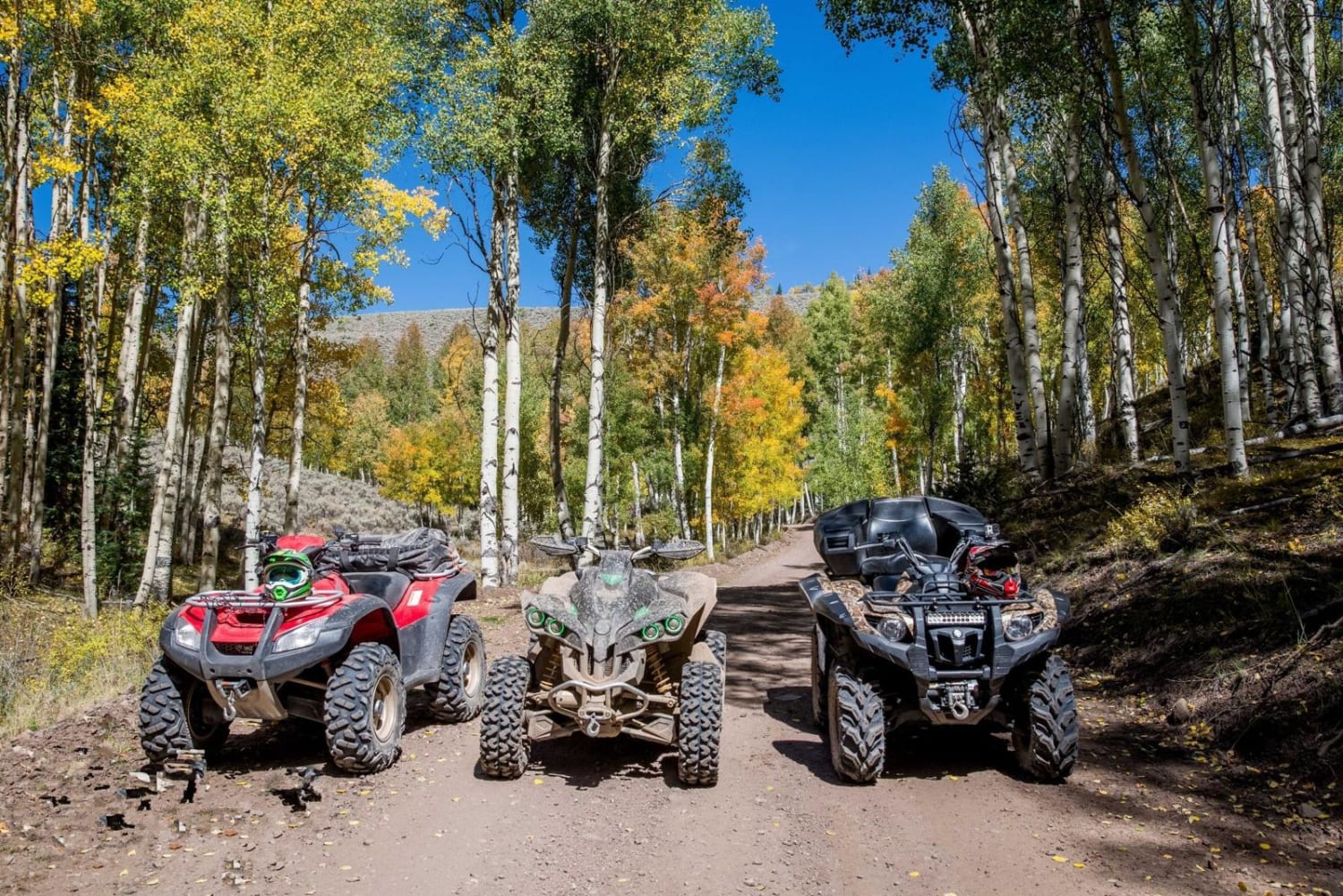
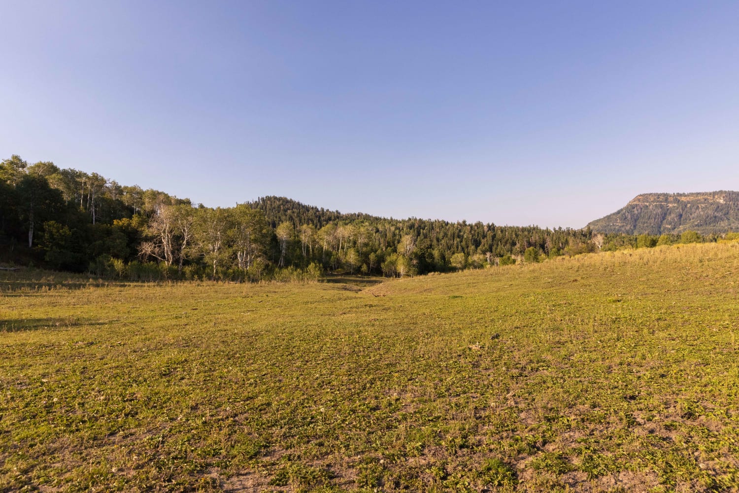
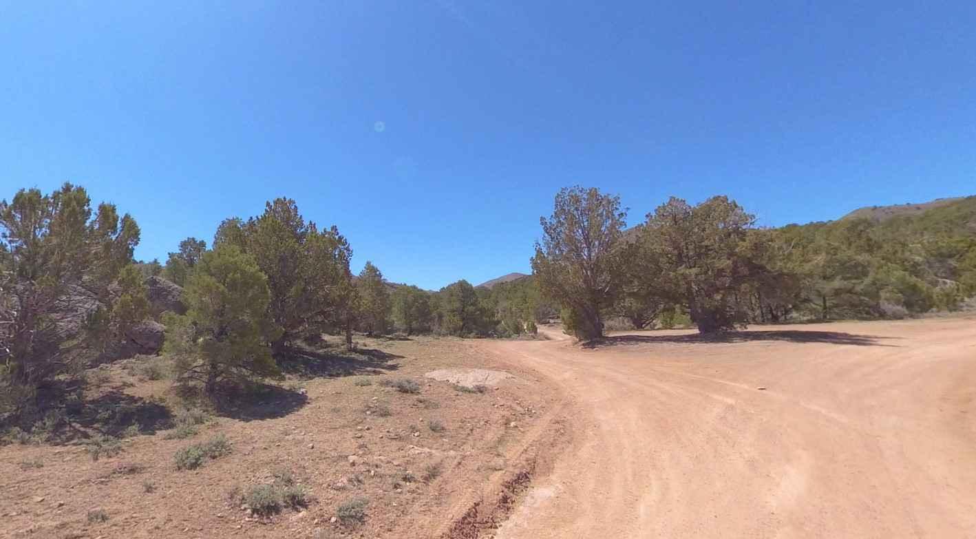
Trail Overview
The ride up Dry Creek will explore much of the Monroe Mountains East of Marysvale. There are so many interconnecting trails in this area that its best to find your own adventure. The trails vary in difficulty, but all are gorgeous high-mountain views with great fall weather.
Photos of Paiute ATV Trail Dry Creek Monroe Mountains Loop
Status Reports
Paiute ATV Trail Dry Creek Monroe Mountains Loop can be accessed by the following ride types:
- ATV (50")
- Dirt Bike
Paiute ATV Trail Dry Creek Monroe Mountains Loop Map
Popular Trails
Beaver Creek Ridge
Total Miles
1.5
Tech Rating
Moderate
Best Time
Fa / Su / Sp
Clay Deposit Road-FR30274
Total Miles
8.3
Tech Rating
Easy
Best Time
Sp / Su / Fa / Wi
Pahvant Butte Loop
Total Miles
30.3
Tech Rating
Easy
Best Time
Sp / Su / Fa / Wi
The onX Offroad Difference
onX Offroad combines trail photos, descriptions, difficulty ratings, width restrictions, seasonality, and more in a user-friendly interface. Available on all devices, with offline access and full compatibility with CarPlay and Android Auto. Discover what you’re missing today!