Polly Ridge
Total Miles
1.1
Technical Rating
Best Time
Spring, Summer, Fall
Trail Type
Full-Width Road
Accessible By
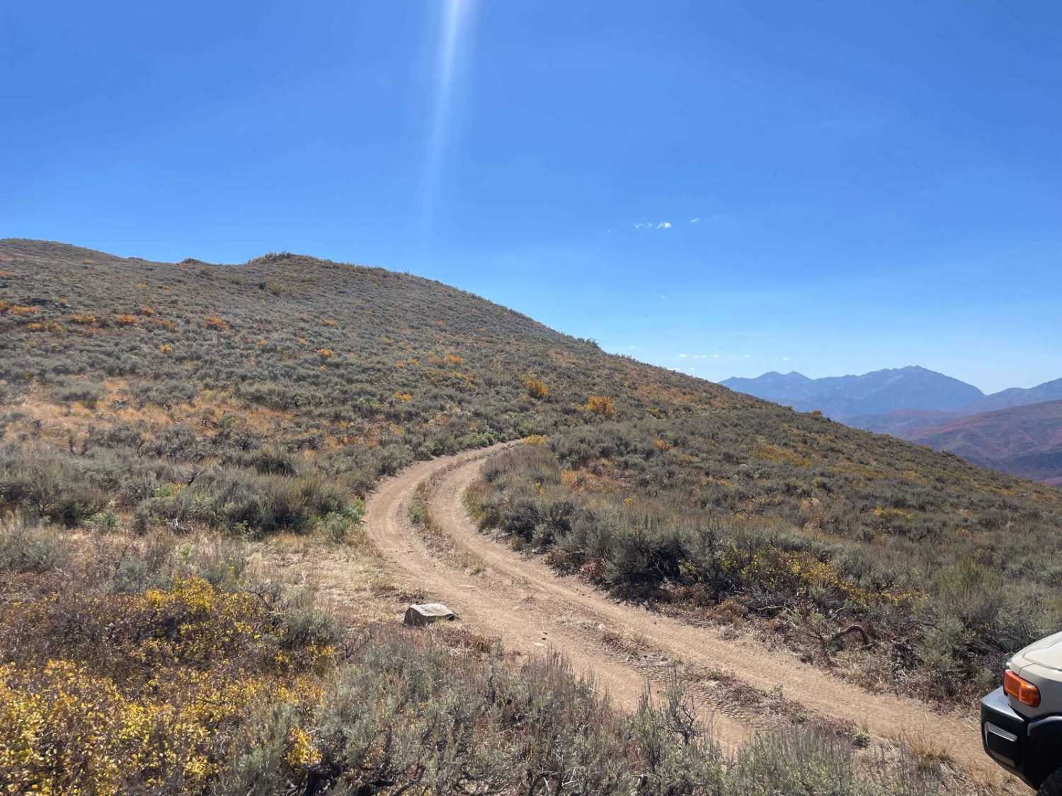
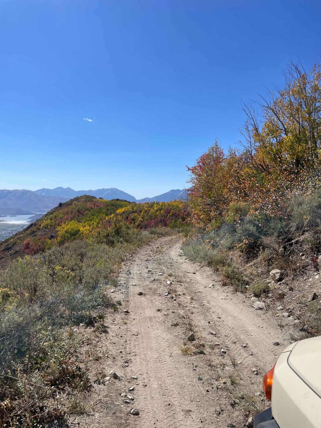
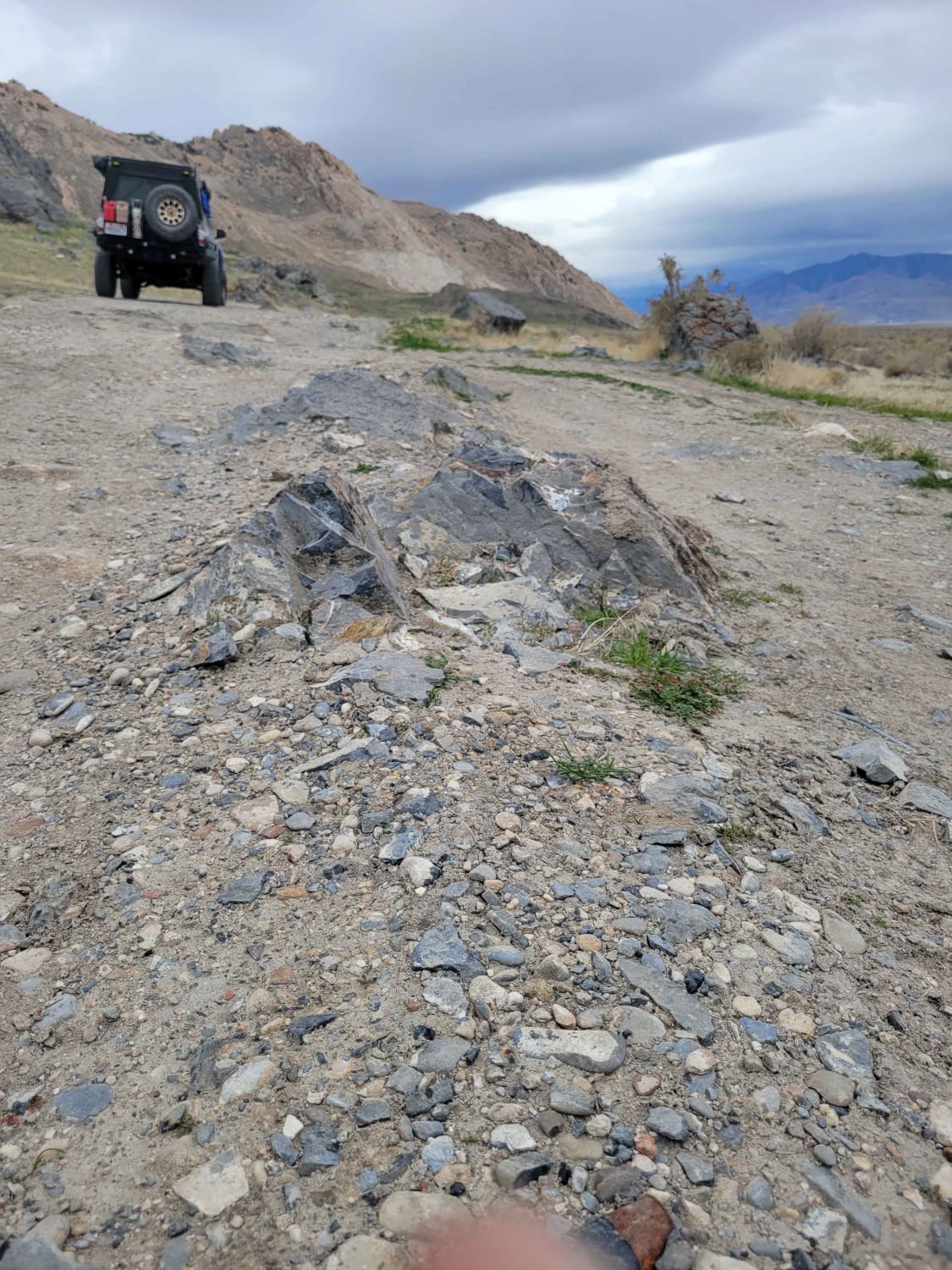
Trail Overview
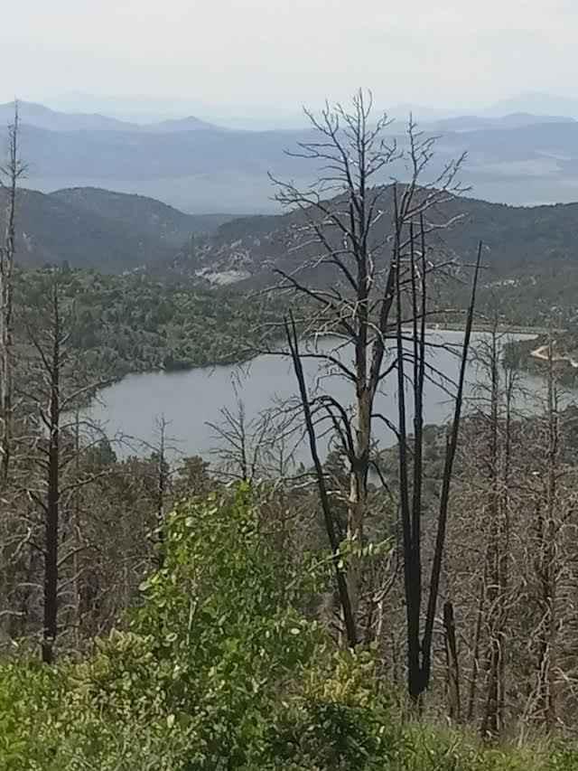
This trail takes you from the top of the Polly Springs trail all the way south to get a view over the Heber Valley. It is simple but can be tight in some sections. It has a few sections with trees on one side and a steep drop-off on the other, with little room to spare on either side. This trail ends at the communication tower but can continue south to the final viewpoint. There is a turnaround at the end of both of the trails.
Photos of Polly Ridge
Difficulty
Small rocks and roots up to 12", the trail is one vehicle wide with a few places to pass.
Status Reports
Polly Ridge can be accessed by the following ride types:
- High-Clearance 4x4
- SUV
- SxS (60")
- ATV (50")
- Dirt Bike
Polly Ridge Map
Popular Trails
Shotgun Alley
Monroe Mountain Road Spur (FS 42459, 41192)

Southern Cathedral Valley Road
Panguitch Lake - Scenic Route
The onX Offroad Difference
onX Offroad combines trail photos, descriptions, difficulty ratings, width restrictions, seasonality, and more in a user-friendly interface. Available on all devices, with offline access and full compatibility with CarPlay and Android Auto. Discover what you’re missing today!