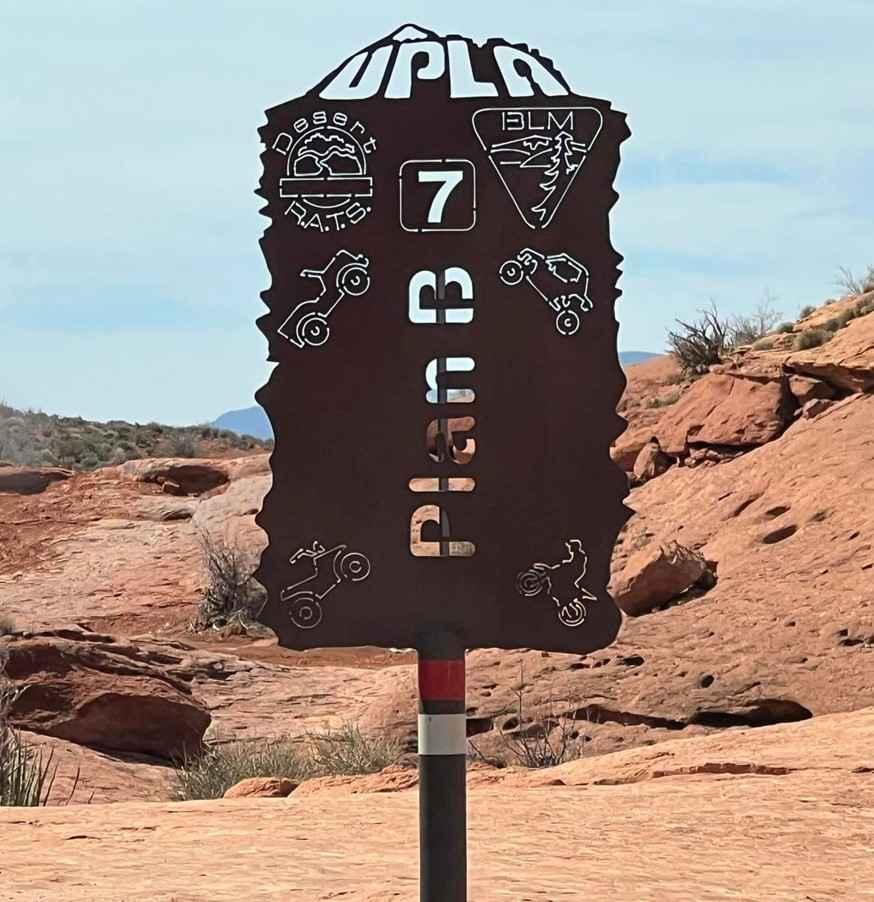
Plan B South
Total Miles
0.7
Technical Rating
Best Time
Spring, Summer, Fall, Winter
Trail Type
High-Clearance 4x4 Trail
Accessible By
Trail Overview
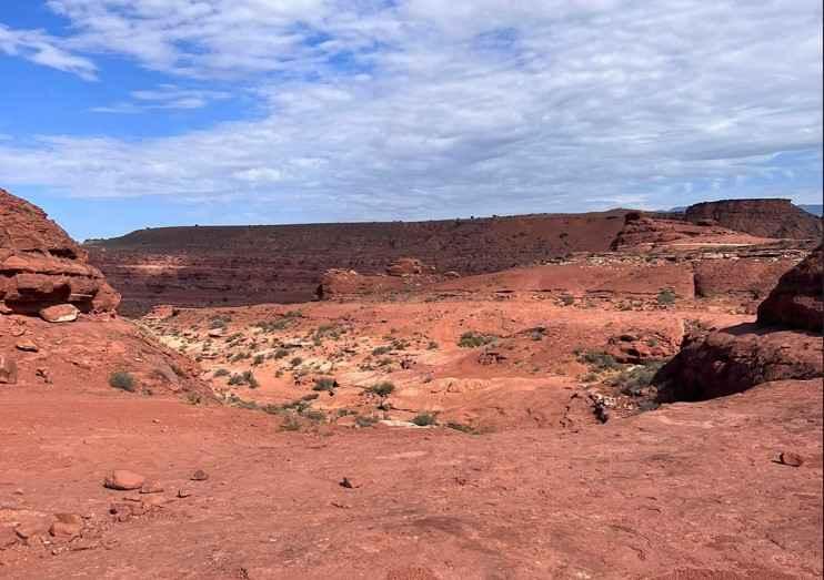
Plan B South is the second half of the Plan B trail and is rated 7 of 10. Plan B is located at the far south edge of the Hurricane Sand Dunes. To reach the Plan B South follow the Plan B North trail. Plan B meanders its way through a few challenging hills and washes, then follows the edge of Sand Mountain with big views of the Arizona Strip and Warner Valley below. This trail continues the thrills of off-camber turning climbs and ditches that either lean close to rock walls on the driver's side or shear rock ledges on the passenger side. Some of the more serious obstacles have bypasses but don't expect them to be much easier. This trail provides more off-camber thrills than almost any other trail on the mountain.
Photos of Plan B South
Difficulty
Trail consists of rock, sand and considerable slickrock with many steps exceeding 48". Steep inclines and declines are prevalent. Enhanced off road equipment is required including locking devices (front & rear), 35" tires, maximum vehicle ground clearance, and tow hooks. A winch is desirable. Excellent driving skills are required. Vehicle mechanical or body damage is likely. Rollover possibilities exist.
Status Reports
Plan B South can be accessed by the following ride types:
- High-Clearance 4x4
- SxS (60")
Plan B South Map
Popular Trails
White Rocks Alternate
Elberta Slant Road
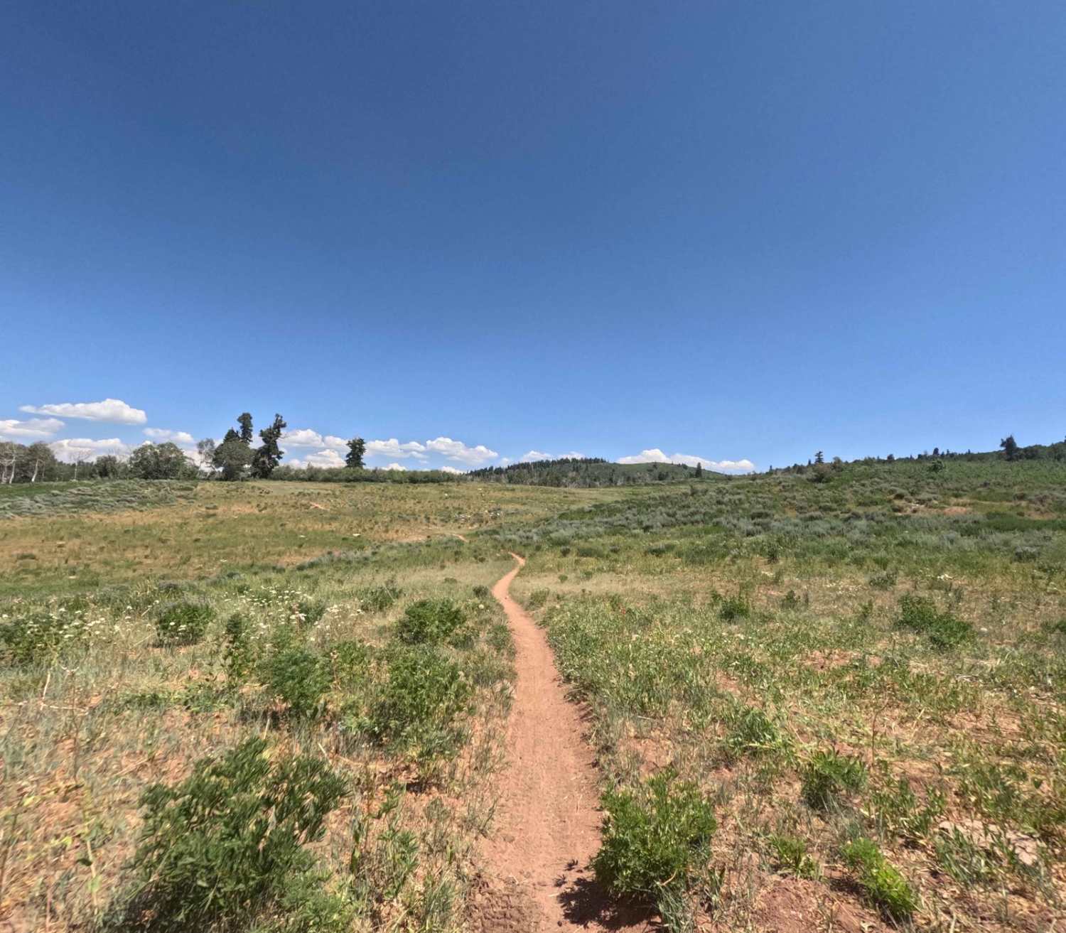
Rock Spring - FS 8101
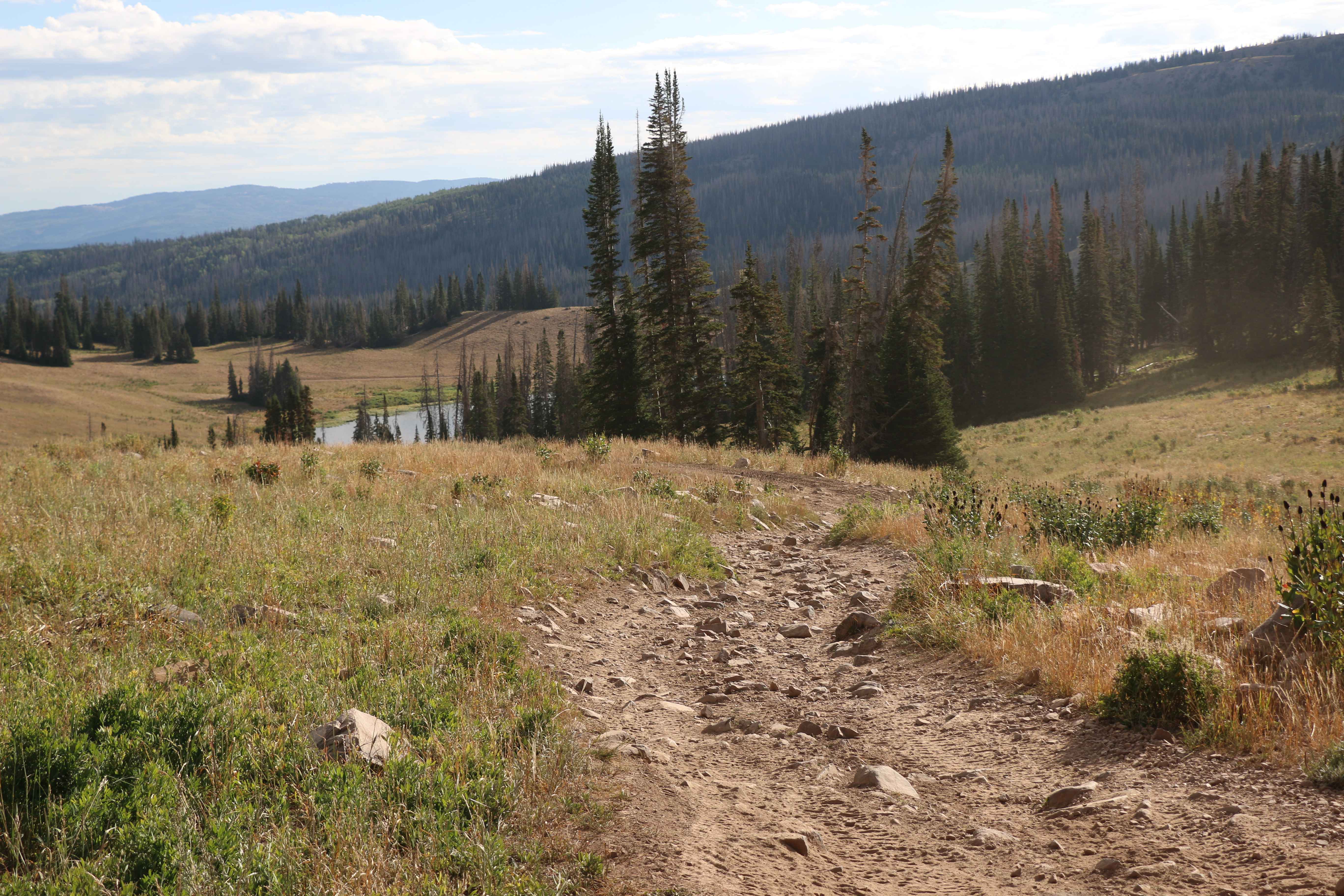
Moffit Pass - FS 80135
The onX Offroad Difference
onX Offroad combines trail photos, descriptions, difficulty ratings, width restrictions, seasonality, and more in a user-friendly interface. Available on all devices, with offline access and full compatibility with CarPlay and Android Auto. Discover what you’re missing today!
