Trail Overview
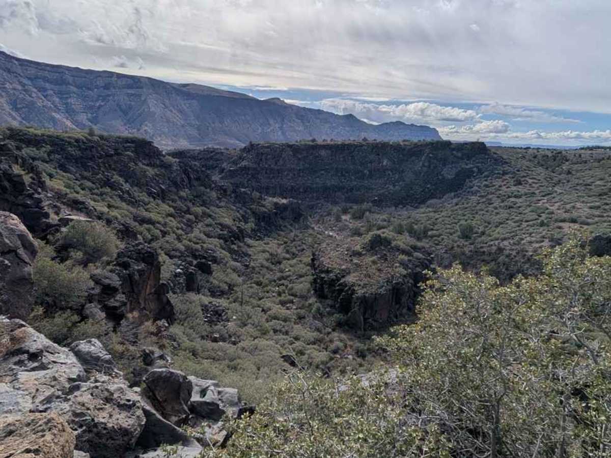
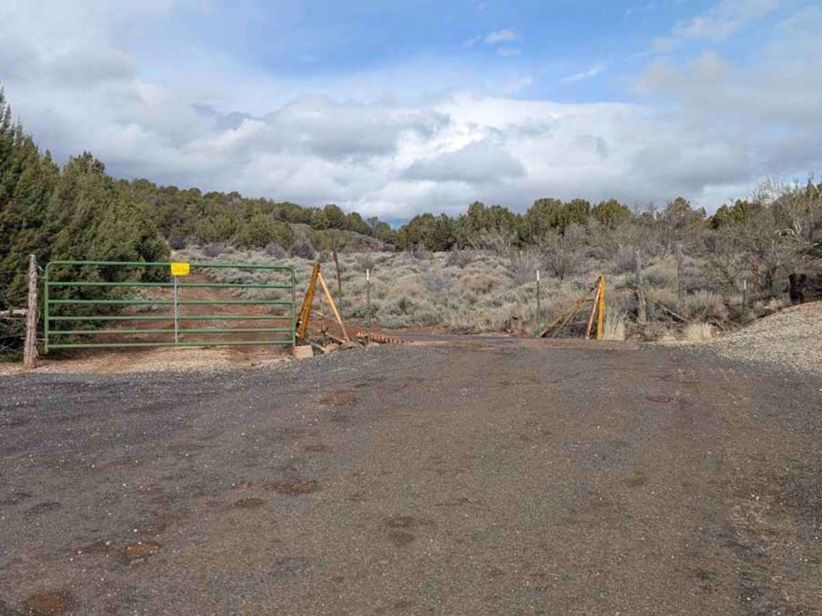
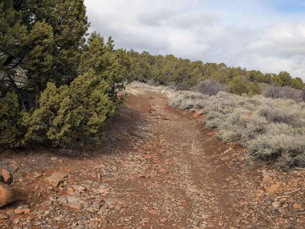
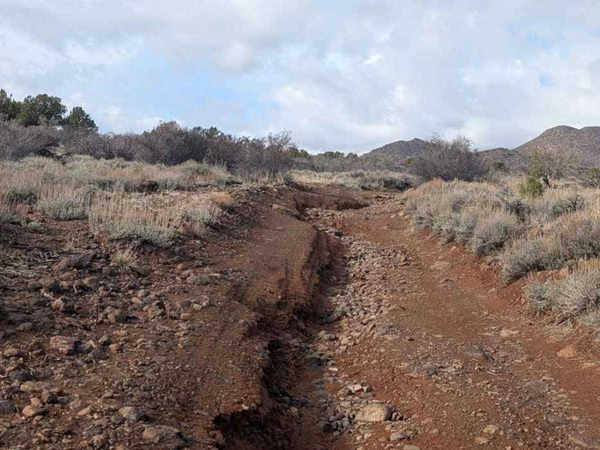
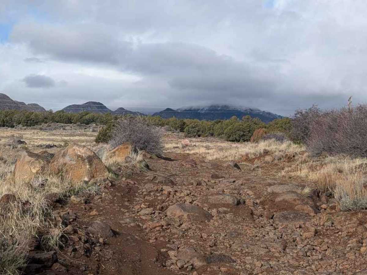
Peter’s Leep is a 3.7-mile point-to-point destination trail rated 4 of 10 located in the northern portion of Washington County. The trail is an unimproved dirt track consisting mostly of dirt and lots of embedded rock. This trail will start at the BLM gate located at the western edge of the Black Ridge community of Juniper Ridge. Peter's Leap is a historical landmark and geological feature in Utah, named after pioneer Peter Shirts, and marks a challenging part of the old pioneer road. The trail follows the old Mormon Road, which ran between Cedar City and St. George, Utah. This section of the road was especially known for its wagon wheel breaking the lava bed surface. Midway between New Harmony and Pintura is a 160-foot-deep lava gorge, which in the mid-1800s could only be traversed on foot. Peter Shirts built this very rugged trail that crossed the gorge. The trail, originally built in 1857, followed an old Paiute foot path, which had one major issue: it had to cross a 160-foot-deep gorge. When Shirts was asked about how to cross the gorge, Shirts reportedly replied “leep it!” This also led to the naming of the creek below (Leep Creek). In reality, paths were cut on both walls of the gorge to allow foot travel. However, wagons had to be lowered down a sheer cliff and then hauled up the other side. George A. Smith, for whom St. George was named, proclaimed this road to be “The most desperate piece of road that I have ever traveled in my life, the whole ground being covered for miles with stones, volcanic rock, cobbleheads, and in places deep sand.” The trail offers scenic views of Pine Valley Mountain to the west, Black Ridge Peak to the south, and Timber Top Mountain and Shuntavi Butte within Zion National Park to the northeast. Cell phone service is available along the trail. The nearest services are in New Harmony and Cedar City to the north and St. George to the south. Although SxS and ATVs are allowed on the BLM land, there is no parking at the trailhead. SxSs and ATVs are not allowed on Interstate 15, and the nearest trailer parking is a dirt lot on the east side at the Black Rock exit. There are several parallel trails that can be taken for the return that offer a slightly more comfortable route.
Difficulty
Trail consisting of loose rocks, dirt, and sand with some slickrock surfaces, mud holes possible, no steps higher than 12 inches. 4WD may be required; aggressive tires are a plus.
History
The Roads to Utah’s Dixie information sign can be found at the Hurricane Valley Heritage Park and Museum in Hurricane, Utah.