Patton's Boot
Total Miles
1.8
Technical Rating
Best Time
Spring, Summer, Fall
Trail Type
High-Clearance 4x4 Trail
Accessible By
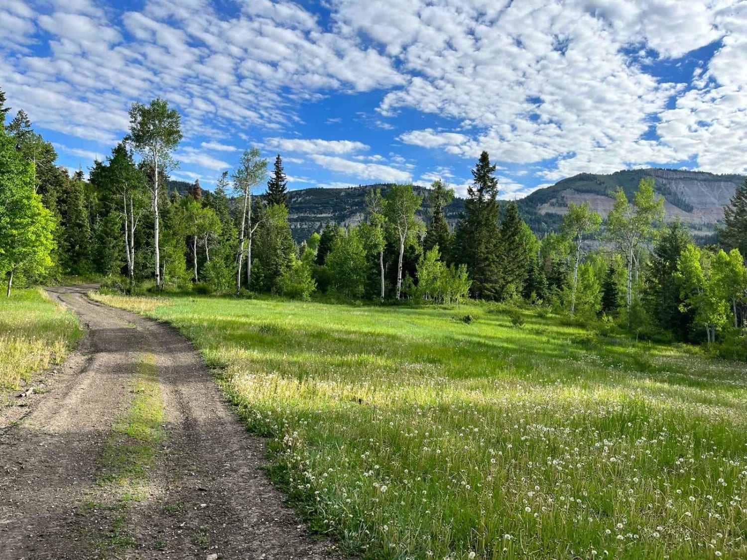
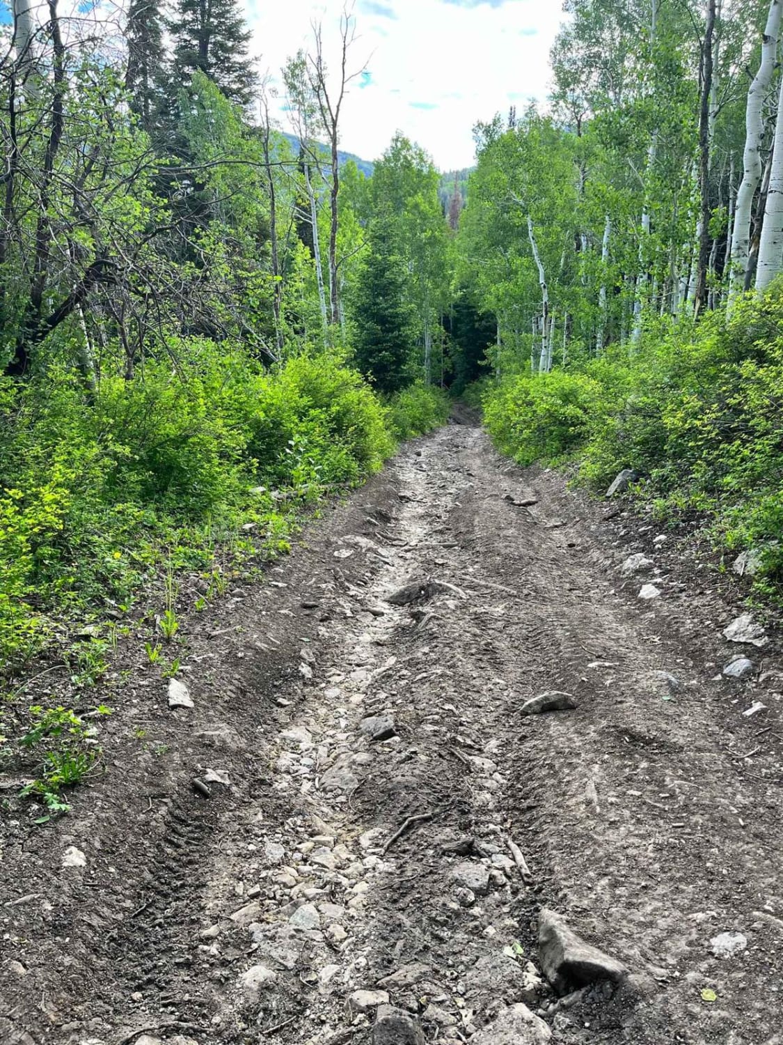
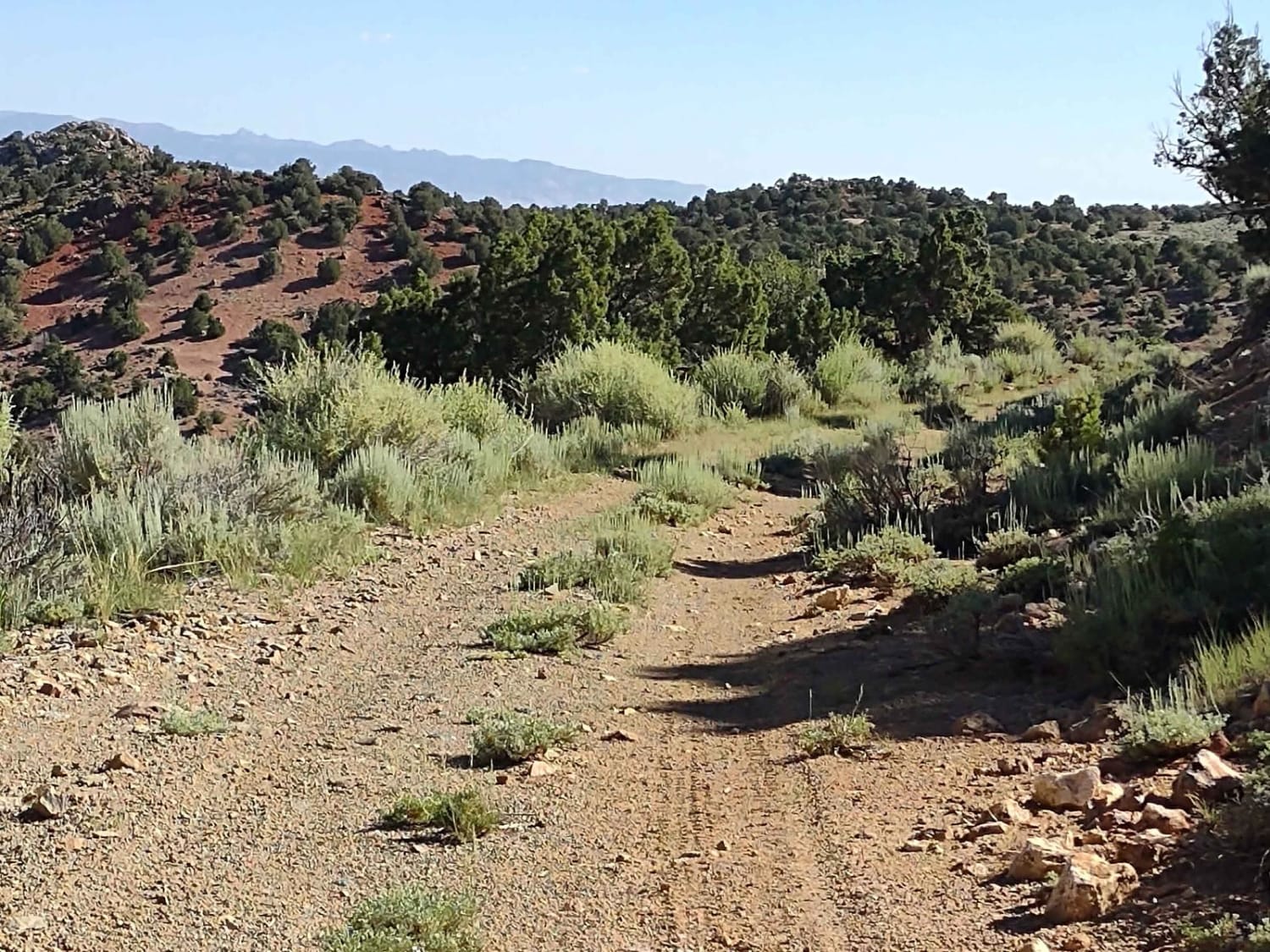
Trail Overview
This is a short, mostly flat route. It is 2 miles and has an elevation change of 700 feet. It skirts the east side of Burnt Hill and flirts with views of Milk Creek. At the midpoint of the route, you can choose to journey on to a variety of other trails that snake around other sides of Burnt Hill.
Photos of Patton's Boot
Difficulty
Mostly flat with an elevation change of 700 feet over 2 miles. There are a few minor water crossings. One water crossing has about 12" banks, but the road ramps gradually in and out of the wash. Some ruts from runoff and mud puddles.
Status Reports
Patton's Boot can be accessed by the following ride types:
- High-Clearance 4x4
- SxS (60")
- ATV (50")
- Dirt Bike
Patton's Boot Map
Popular Trails
North Turkey Knob - BLM15210

Jacobs Chair West
Steps - Funnel - West Rim
County Road 1936
The onX Offroad Difference
onX Offroad combines trail photos, descriptions, difficulty ratings, width restrictions, seasonality, and more in a user-friendly interface. Available on all devices, with offline access and full compatibility with CarPlay and Android Auto. Discover what you’re missing today!