Trail Overview
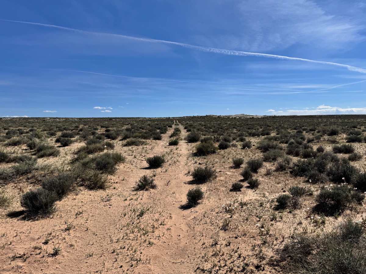
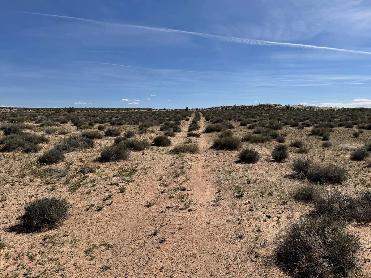
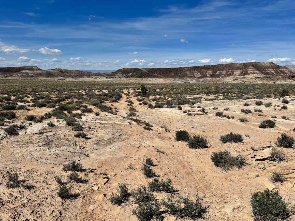
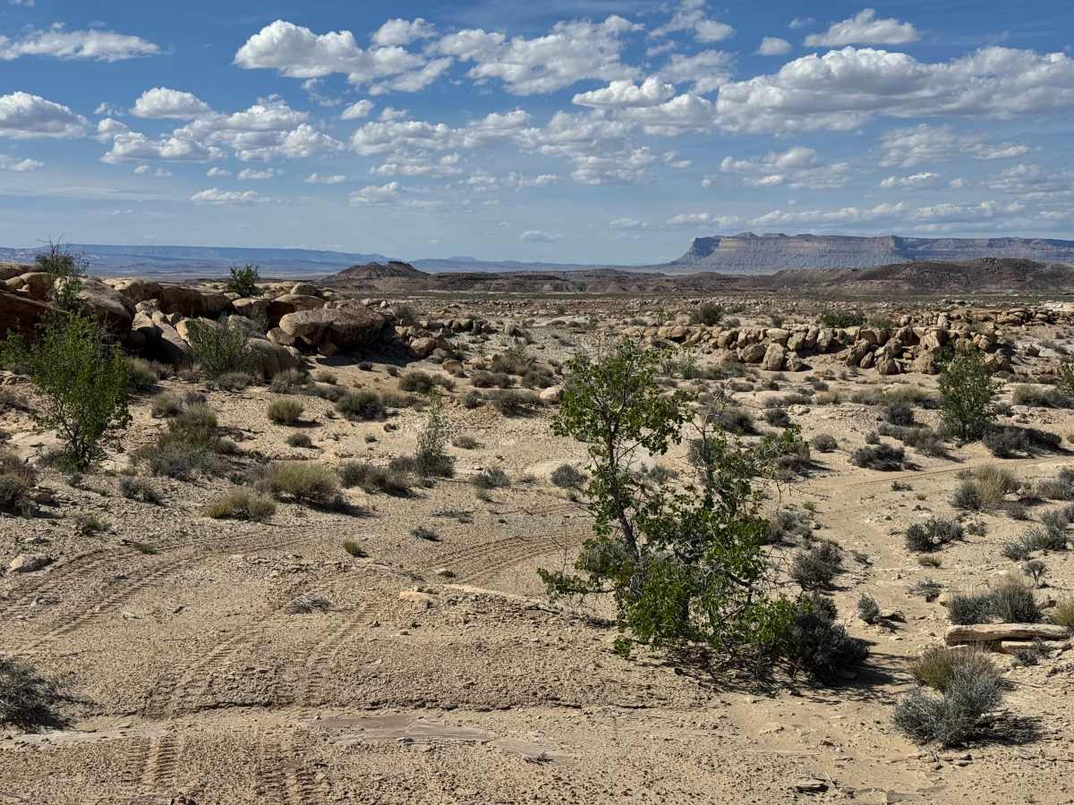
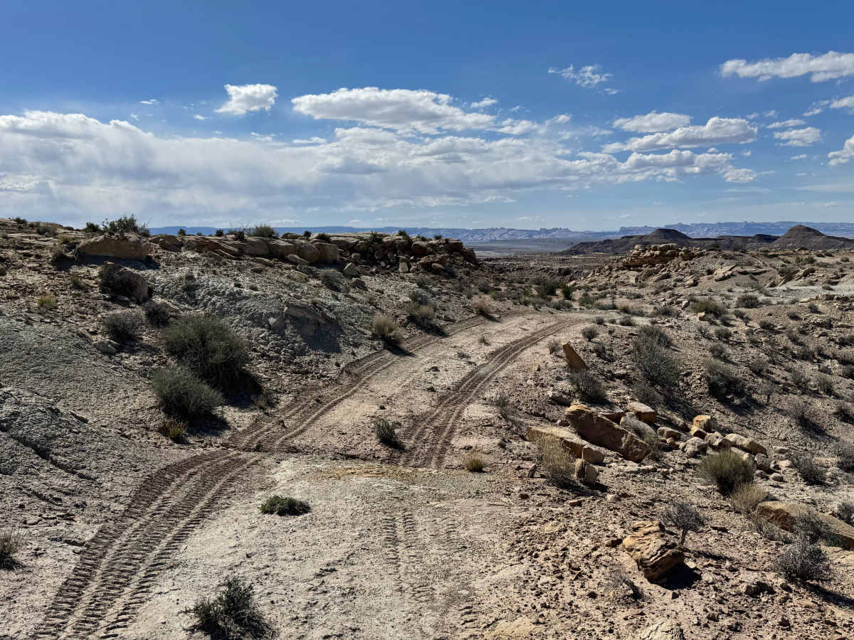
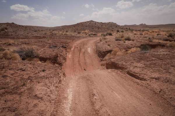
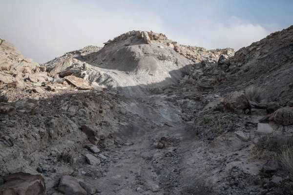
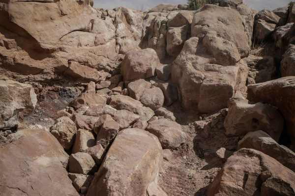
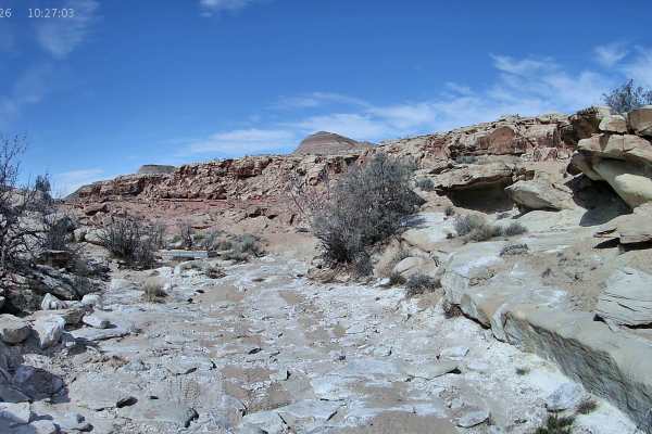
This trail is easy to miss because it is not heavily traveled, and many drivers may pass right by the entrance without noticing it. Those who choose the path less traveled will be rewarded with a fun and fairly easy side route that offers scenery without major difficulty. The trail surface includes a few sections of exposed rock slab that require slow, controlled driving and basic tire placement, but there are no significant obstacles or highly technical features. Most of the route is straightforward and suitable for high clearance 4x4s in dry conditions. As the trail reaches its end, it opens to a scenic overlook with views of the top of Crystal Geyser and the surrounding desert terrain. From this vantage point, you can also look out toward the Salt Wash Trail and appreciate the layered landscape that makes this area so unique. This is a worthwhile detour for drivers who enjoy quieter routes and rewarding viewpoints.
Difficulty
This is a mostly easy trail with only minor technical features. A few rock slab sections require attention and basic tire placement, but there are no major obstacles, steep climbs, or difficult recovery points described. The biggest challenge may be simply spotting the entrance and staying on the route.
History
The Orange Trail is part of the legacy of William Louis “Bill” Thompson, a longtime public servant and trail builder honored at the trailhead memorial. Bill helped establish and improve multiple trail systems throughout Utah and worked as an OHV coordinator and trails specialist after retiring from the U.S. Forest Service. This trail was a 15-year project for him and stands as a tribute to his commitment, perseverance, and love of outdoor recreation.