Trail Overview
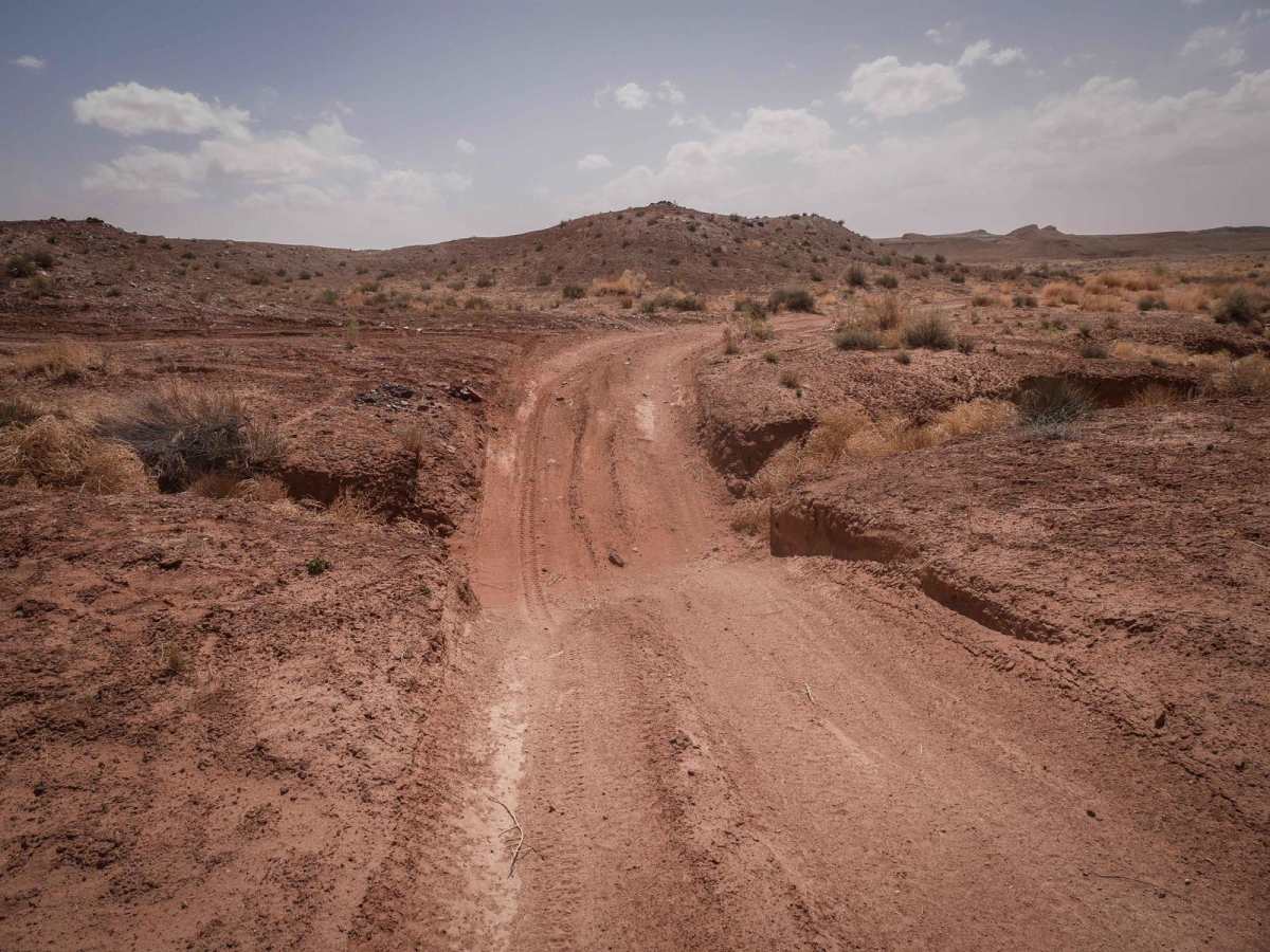
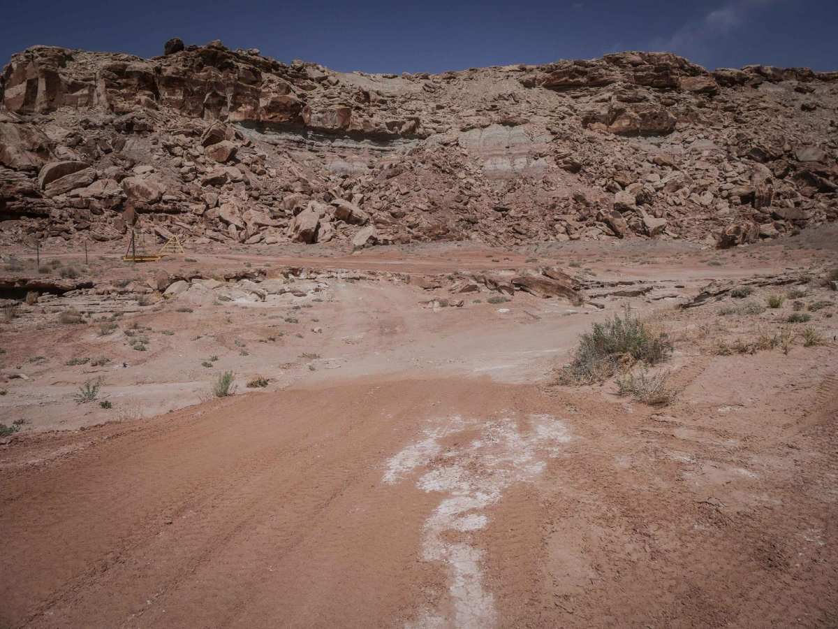
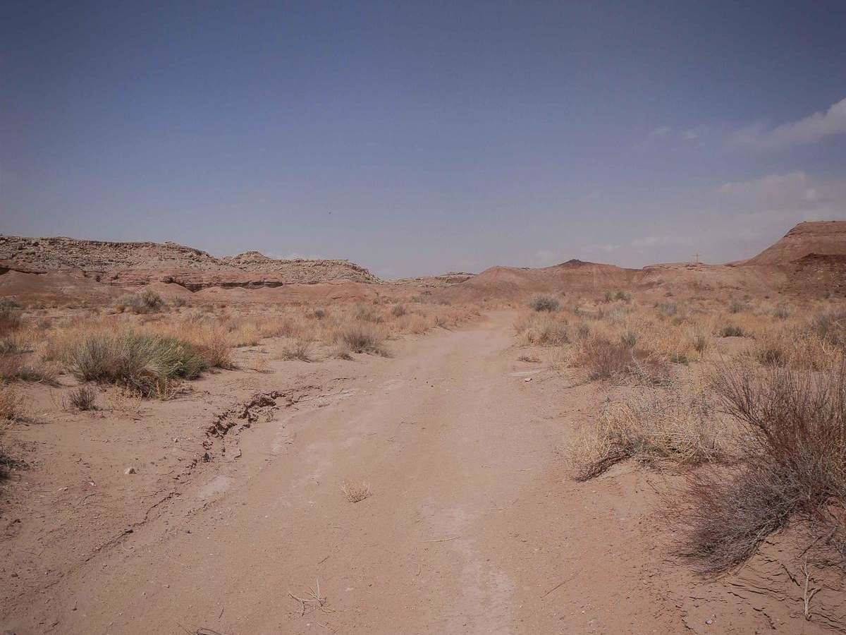
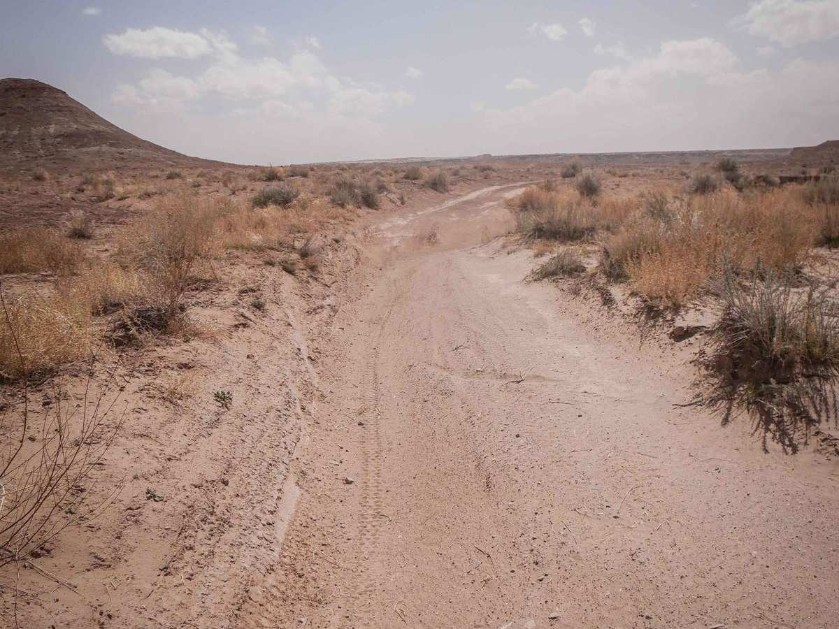
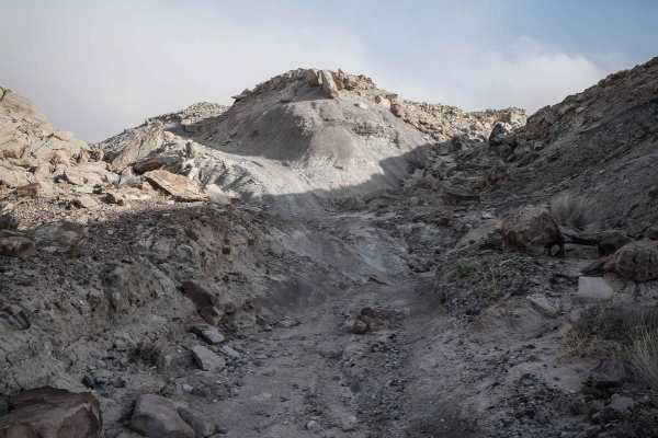
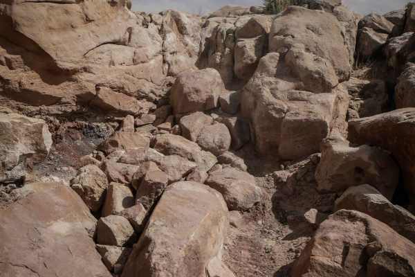
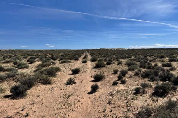
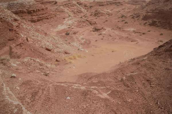
Crystal Geyser is an approachable and scenic desert trail near Green River, Utah, ideal for novice offroaders, families, and riders seeking a scenic connection through the local OHV areas. This route serves as an essential link between two segments of the full-width Crystal Geyser Jeep Route, offering a mix of smooth terrain and mild obstacles. The majority of the trail consists of easy, hard-packed dirt that winds gracefully along the base of towering, boulder-strewn sandstone mesas. While mostly straightforward, drivers will encounter occasional ruts, dips, and uneven surfaces that require basic line choice. A notable deep dip and a one-foot rocky ledge present the most significant challenges, but both of these obstacles feature convenient bypasses for stock vehicles.
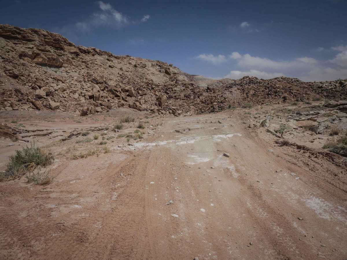
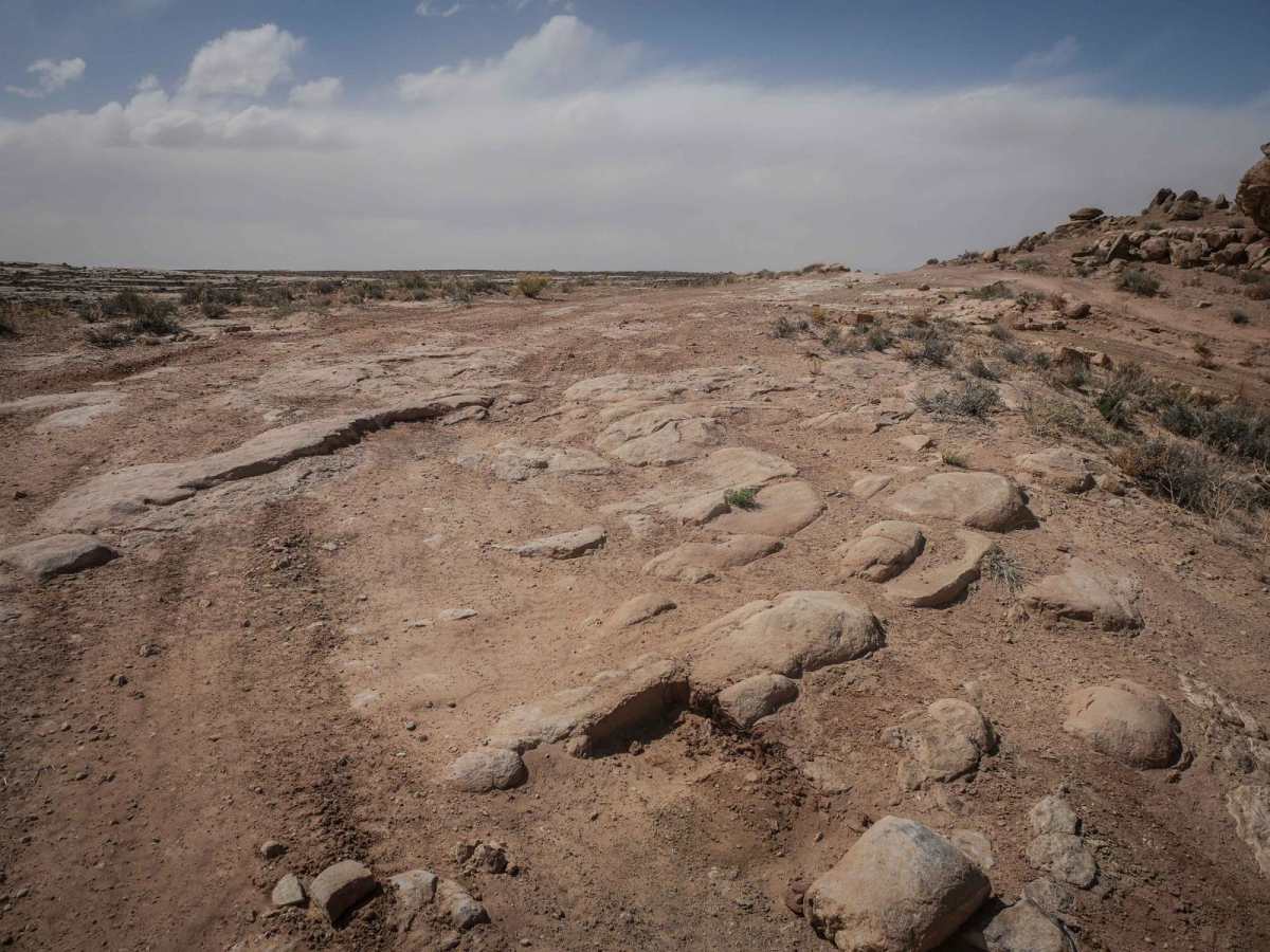
The southern portion of the trail is particularly smooth and easy, running parallel to power lines before transitioning into more rugged terrain to the north. As the route heads north, the surface shifts to include loose rock, slab rock, and sharper curves around the mesas. This route forms a segment of the prominent Orange Trail loop, which provides extensive exploration opportunities throughout the region, including access to the active cold-water geyser along the Green River. High-clearance 4x4s, dirt bikes, and SxSs are well-suited for this track, making it an excellent warm-up or transit route for a full day of desert adventure.