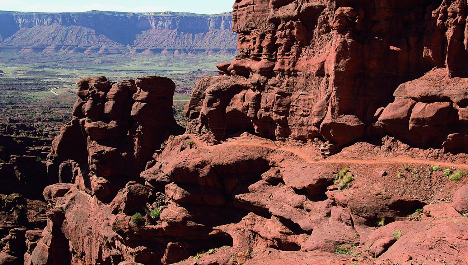
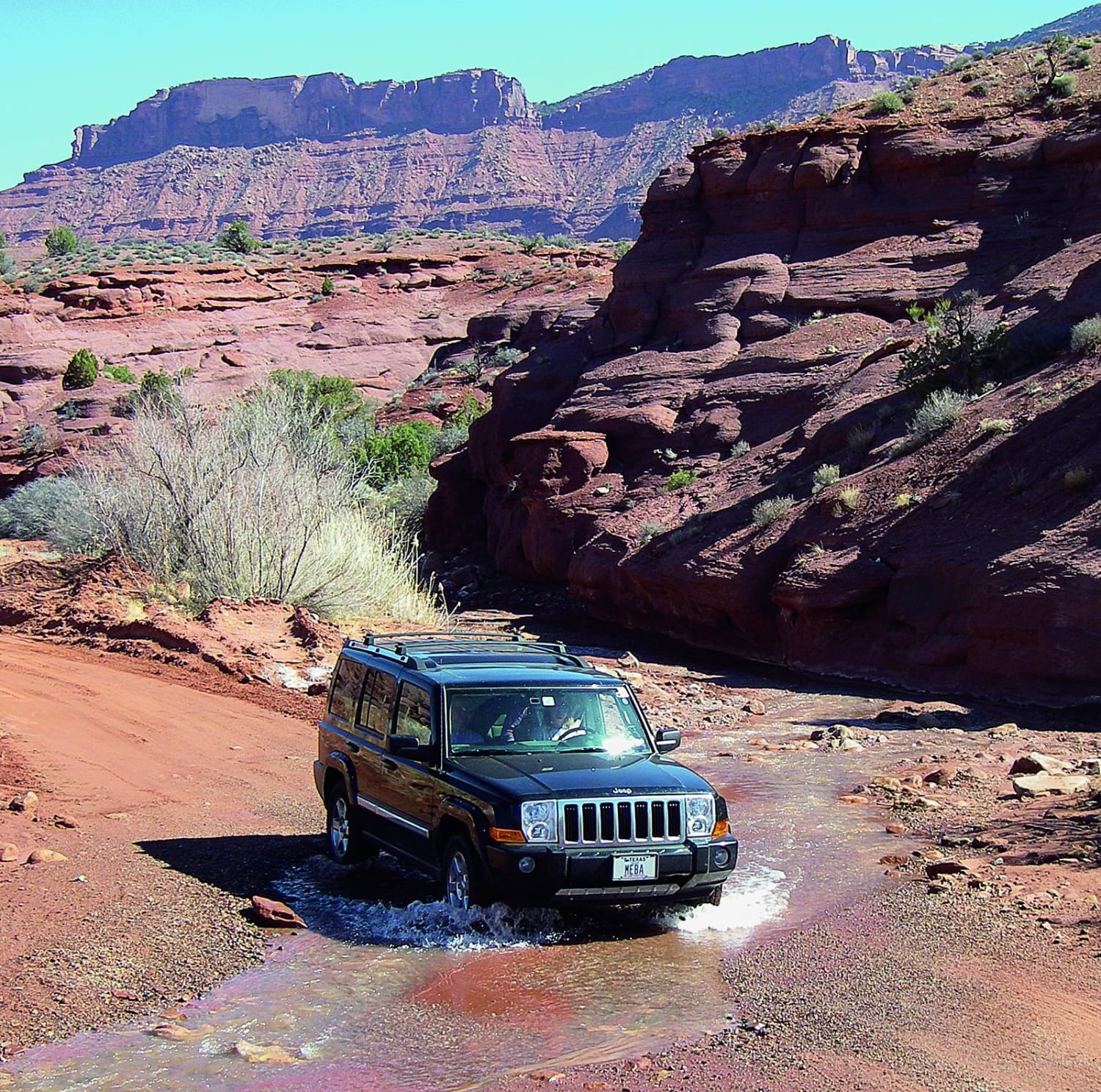
Onion Creek, Fisher Towers
Total Miles
12.5
Technical Rating
Best Time
Spring, Summer, Fall
Trail Type
Full-Width Road
Accessible By
Trail Overview
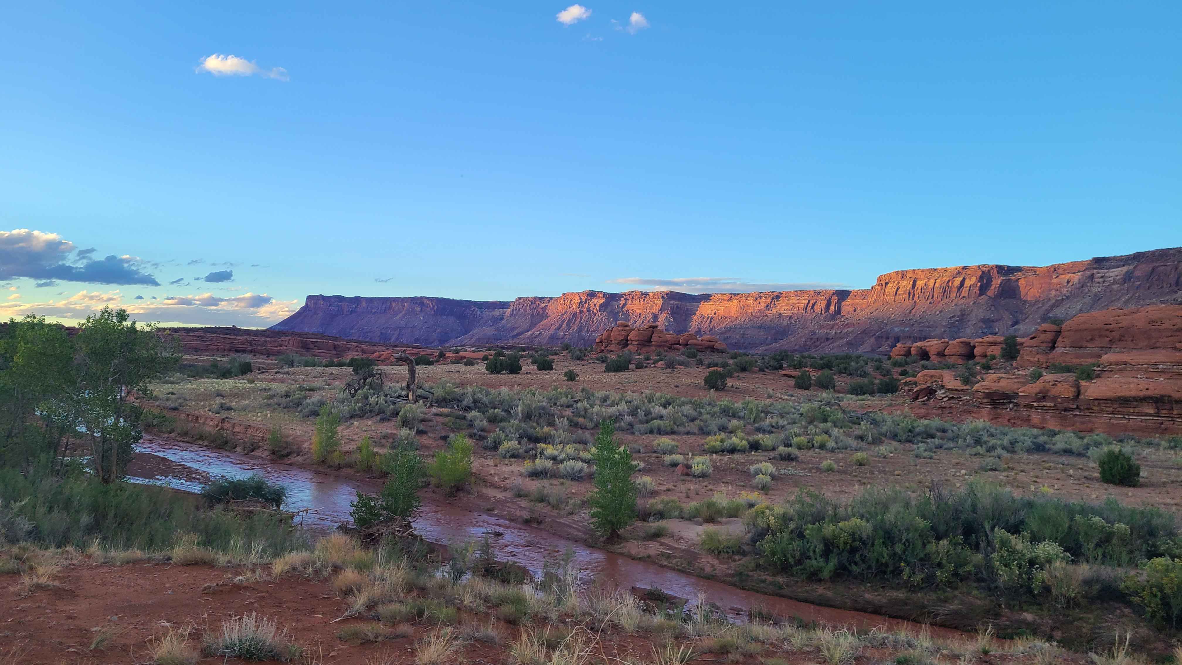
This fun drive is open to unlicensed vehicles, but you'll need to stay on the main road. There's an opportunity to get up close to Fisher Towers by taking a short hike that concludes with an overlook of Onion Creek. Be sure not to drive in the creek unless you're specifically crossing it.
Photos of Onion Creek, Fisher Towers
Difficulty
Easy. A car can do it under normal conditions. Four-wheel drive may be needed after a storm. Slippery when wet at the end as you climb out of canyon. Creek is usually a trickle, but can be deep after heavy rains. Flash floods are possible.
Status Reports
Onion Creek, Fisher Towers can be accessed by the following ride types:
- High-Clearance 4x4
- SUV
- SxS (60")
- ATV (50")
- Dirt Bike
Onion Creek, Fisher Towers Map
Popular Trails
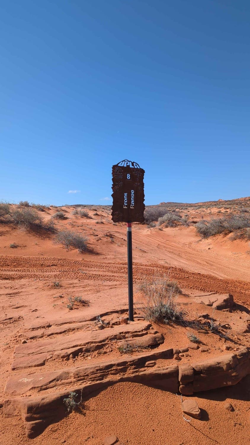
Front Range

Miner's Ridge BLM30741
Ericson Pass Road
Hamburgler - BLM D1453/D1455
The onX Offroad Difference
onX Offroad combines trail photos, descriptions, difficulty ratings, width restrictions, seasonality, and more in a user-friendly interface. Available on all devices, with offline access and full compatibility with CarPlay and Android Auto. Discover what you’re missing today!