Orange Cliffs Trail
Total Miles
14.5
Technical Rating
Best Time
Spring, Summer, Fall
Trail Type
Full-Width Road
Accessible By
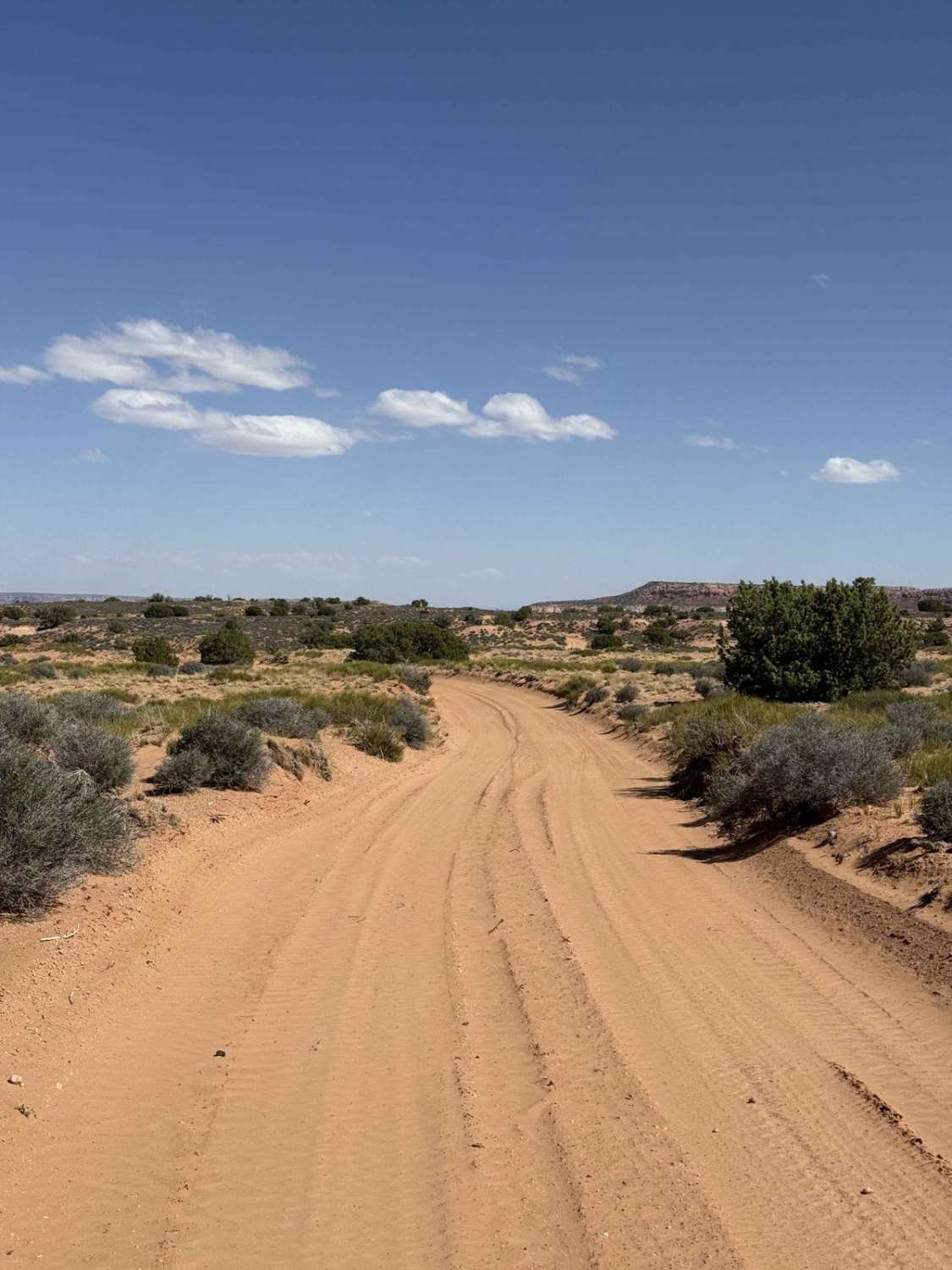
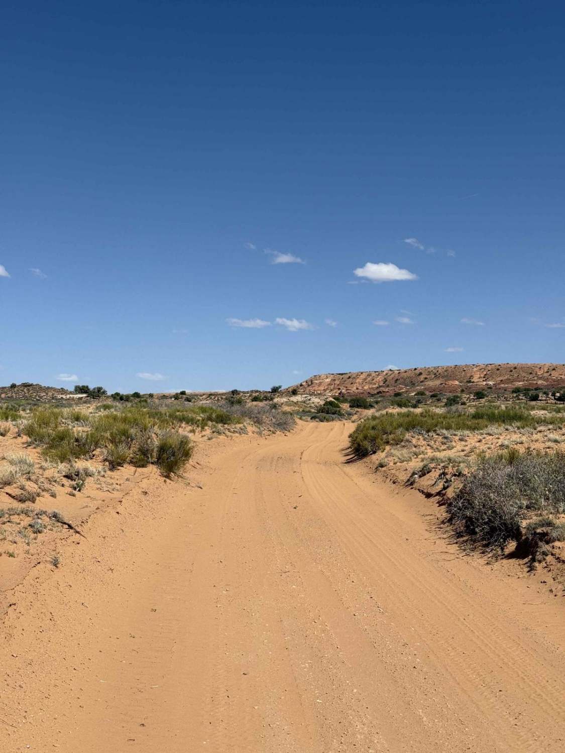
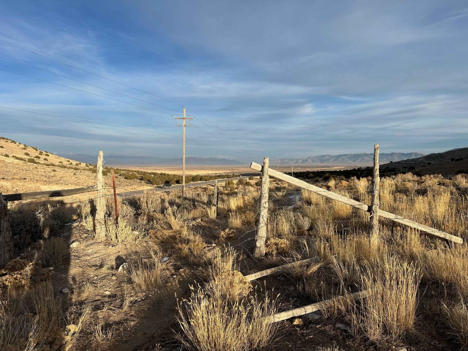
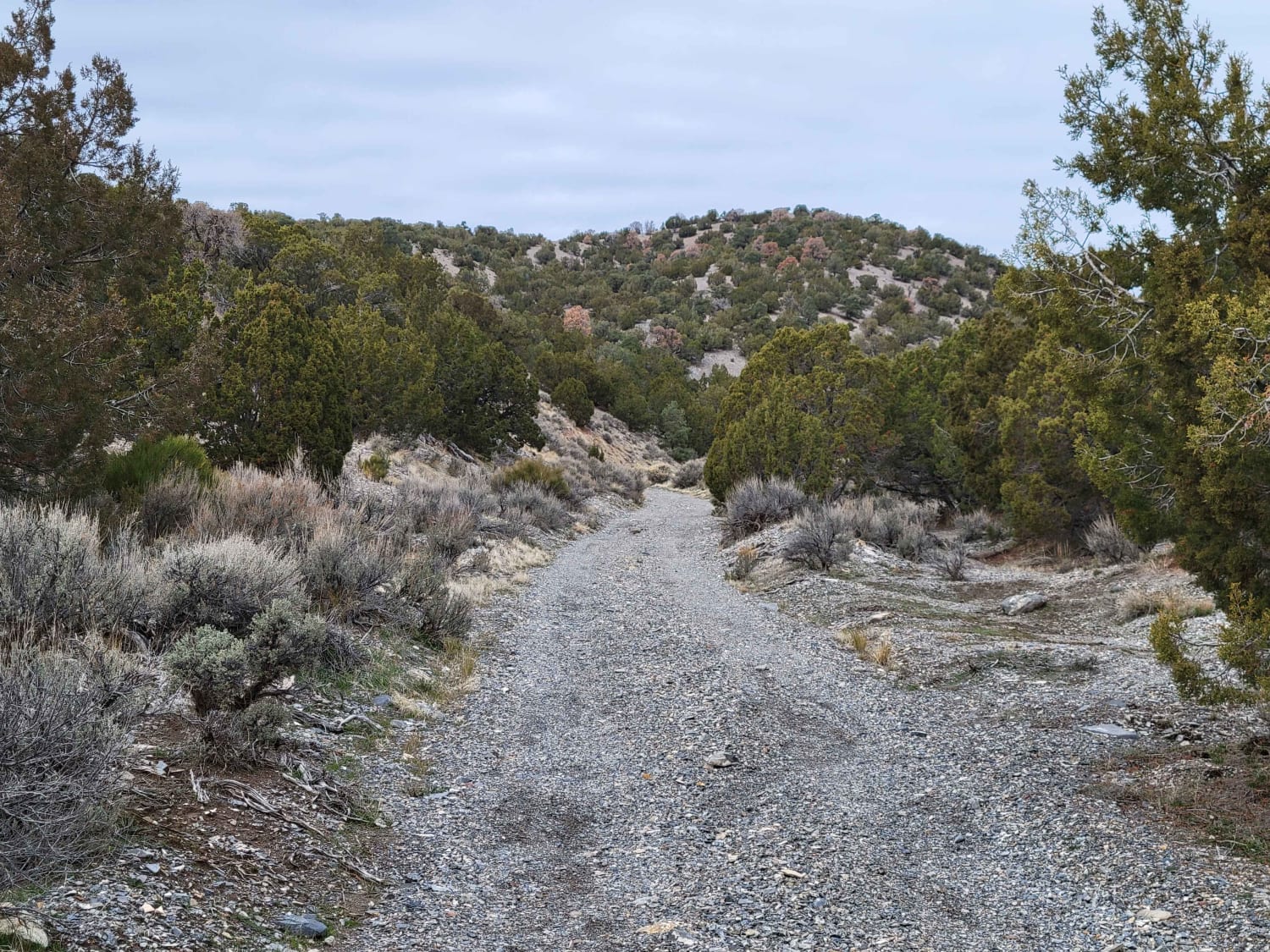
Trail Overview
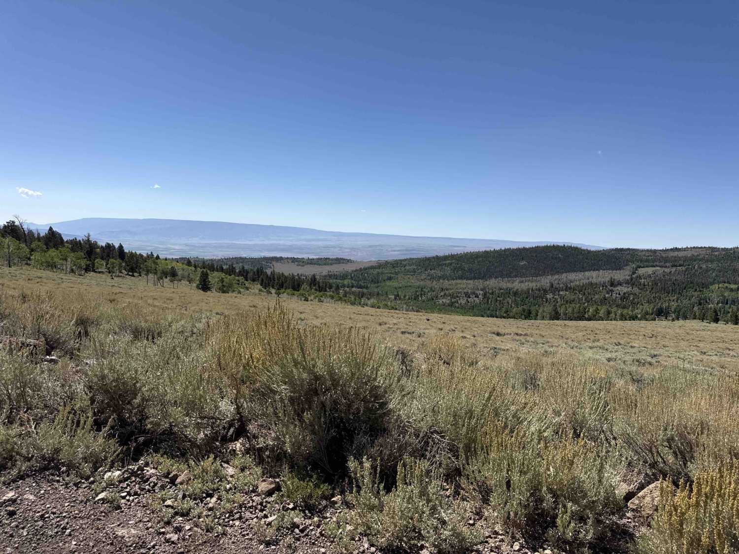
This trail departs from the Hans Flat ranger station and travels North through and eventually out of Glen Canyon National Recreation Area. Much of the trail is fairly well-maintained sand, with a portion of slick rock around 6 miles in that is a little more challenging. This trail provides access to the Horseshoe Canyon District of Canyonlands National Park, as well as some great views of the Orange Cliffs, Canyonlands, and Horseshoe Canyon Wilderness Area. Camping is only allowed by backcountry permit in this area of Glen Canyon National Recreation Area, but once outside of that and on BLM land, you are free to disperse camp.
Photos of Orange Cliffs Trail
Difficulty
This is a mostly sand trail that is decently maintained, however, there is approximately a 1-mile section of slick rock that would damage low clearance vehicles. Saw several truck campers and high clearance SUVs.
Status Reports
Orange Cliffs Trail can be accessed by the following ride types:
- High-Clearance 4x4
- SUV
Orange Cliffs Trail Map
Popular Trails

6 Bit Springs Road
Railroad Access Road
Dip Gulch Road
The onX Offroad Difference
onX Offroad combines trail photos, descriptions, difficulty ratings, width restrictions, seasonality, and more in a user-friendly interface. Available on all devices, with offline access and full compatibility with CarPlay and Android Auto. Discover what you’re missing today!