Owl Draw
Total Miles
3.3
Technical Rating
Best Time
Spring, Summer, Fall, Winter
Trail Type
Full-Width Road
Accessible By
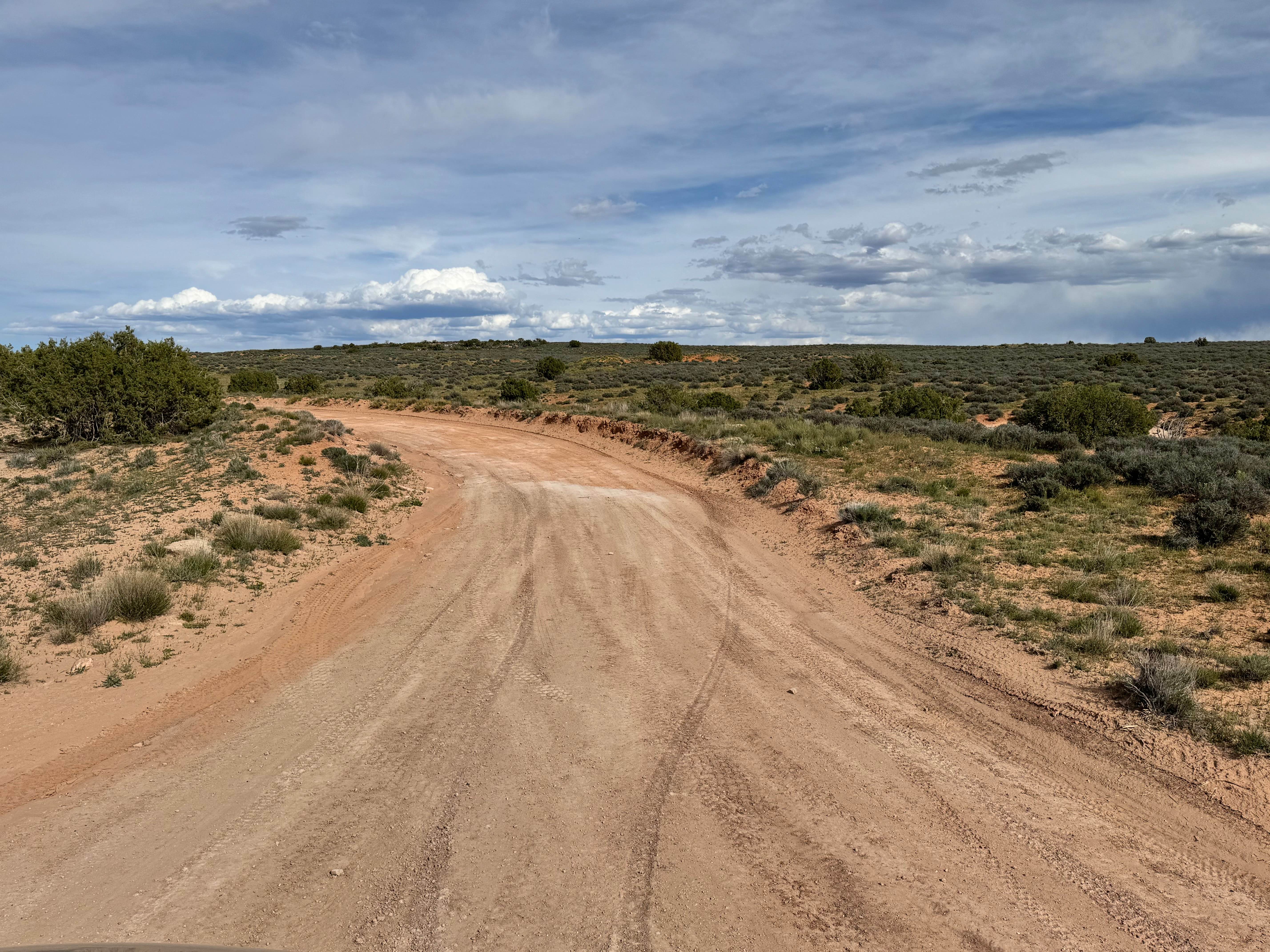
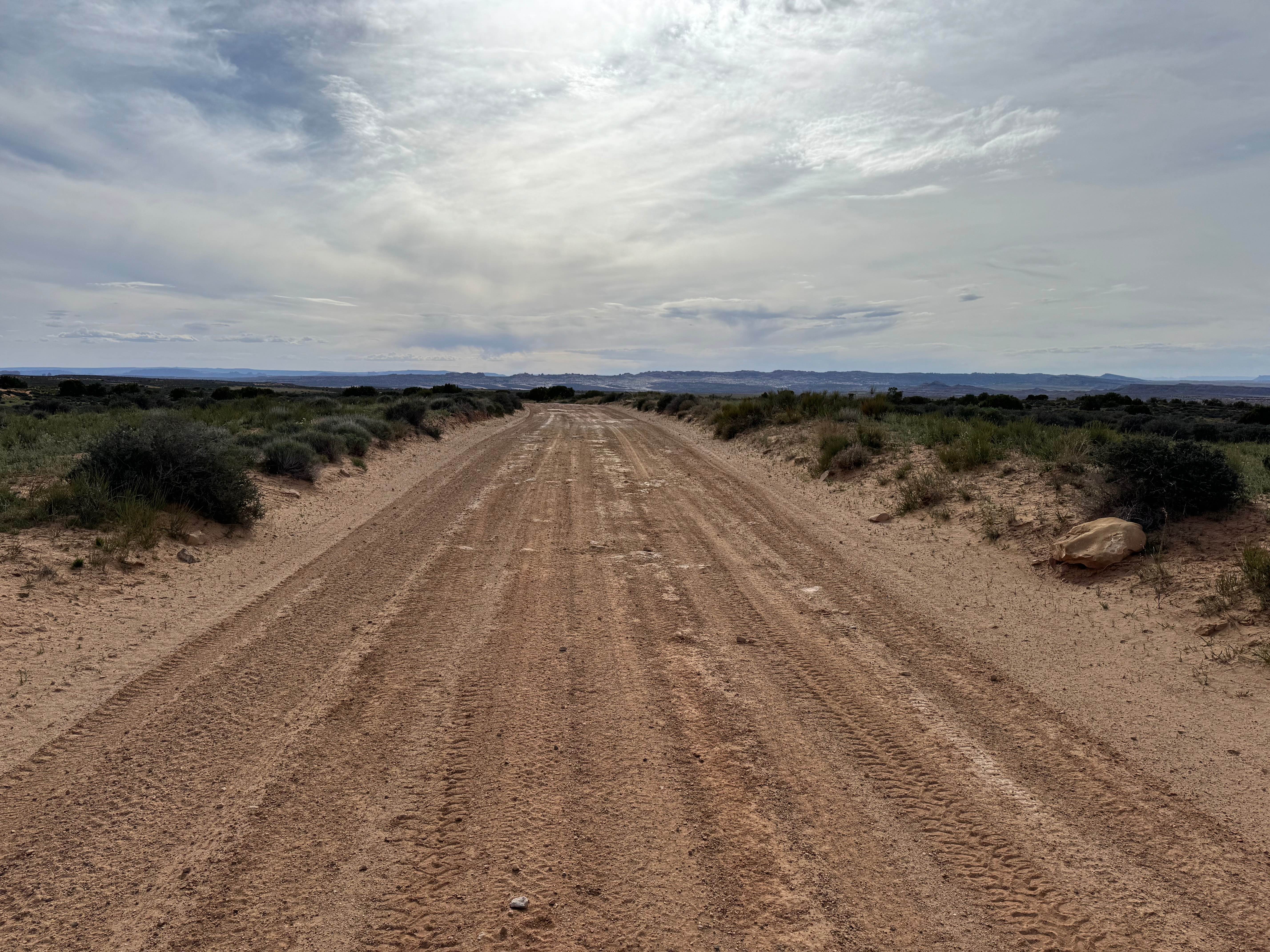
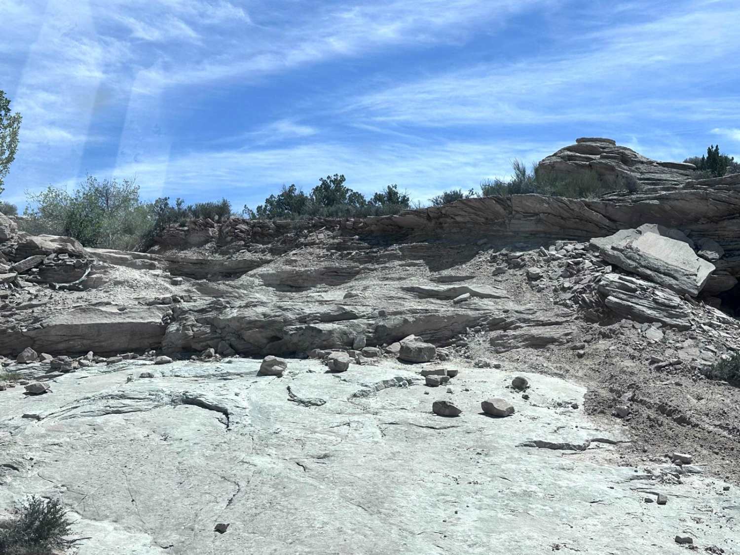
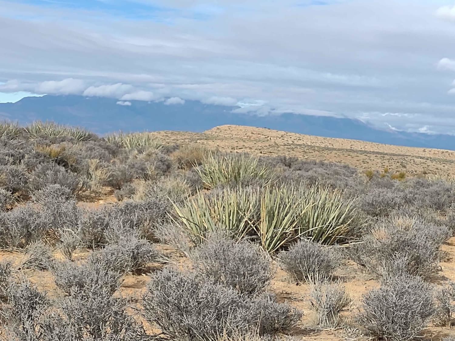
Trail Overview
Non-Resident OHV permits apply to ATVs, UTVs, and dirt bikes. Plated street-legal vehicles typically do not need one on legal motorized routes. This trail serves as a scenic connector between County Road 166 and the Dome Plateau area, offering changing terrain as you travel across the landscape. Starting from County Road 166, the route is generally wide enough for two vehicles and is fairly maintained, making the first portion an easier and more relaxed drive. As the trail continues, you will reverse sections of Owl Draw where the surface becomes more sand-based and more typical of the surrounding desert environment. These sandy stretches are usually straightforward but can become softer depending on the weather and traffic. Nearing Dome Plateau, the character of the route changes again as the trail transitions into a rougher, rocky gravel road with less maintenance. The final portion climbs onto the rock formations and narrows into a shelf road, adding a more adventurous feel with elevated views and tighter lines. This route is a great choice for travelers who enjoy variety, scenic transitions, and linking together multiple trail systems in one drive.
Photos of Owl Draw
Difficulty
Most of this route is fairly well-maintained and straightforward, but changing terrain raises the challenge slightly. Sandy sections, rougher rocky gravel near Dome Plateau, and the final shelf road require more attention than the easier opening miles. There are no major technical obstacles, but drivers should be comfortable with narrow sections and changing surfaces.
Status Reports
Owl Draw can be accessed by the following ride types:
- High-Clearance 4x4
- SUV
- SxS (60")
- ATV (50")
- Dirt Bike
Owl Draw Map
Popular Trails
West Mountain Route
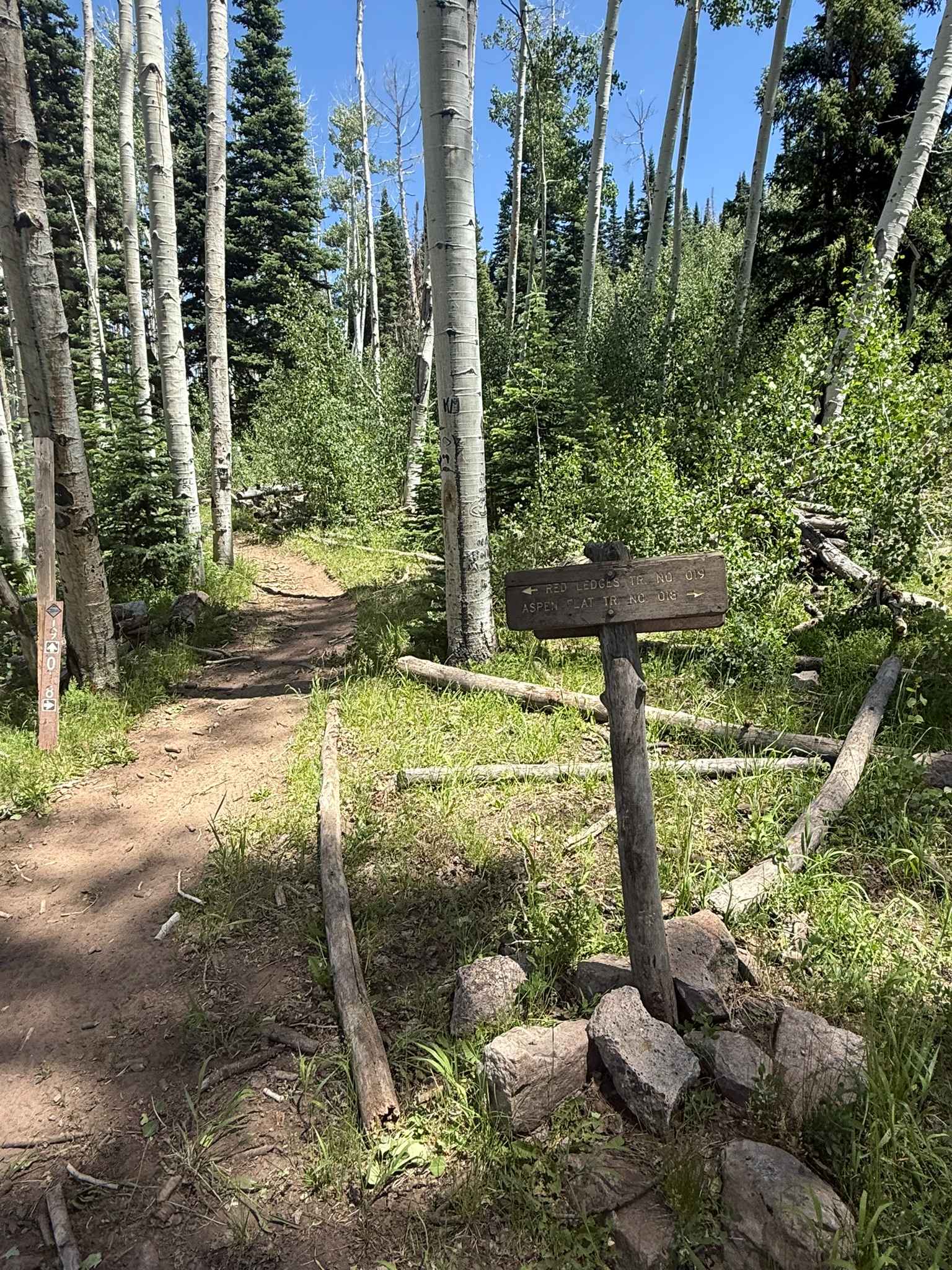
Red Ledges Trail No. 019
The onX Offroad Difference
onX Offroad combines trail photos, descriptions, difficulty ratings, width restrictions, seasonality, and more in a user-friendly interface. Available on all devices, with offline access and full compatibility with CarPlay and Android Auto. Discover what you’re missing today!