Lower Ranch Canyon Road-Beaver County 23
Total Miles
12.1
Technical Rating
Best Time
Spring, Summer, Fall
Trail Type
Full-Width Road
Accessible By
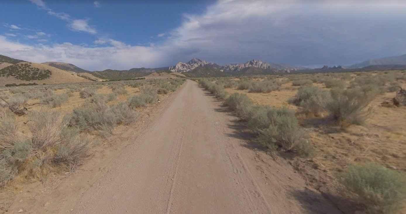
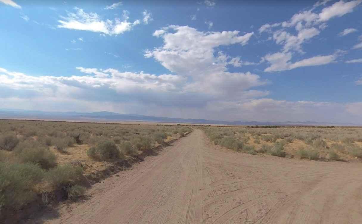
Trail Overview
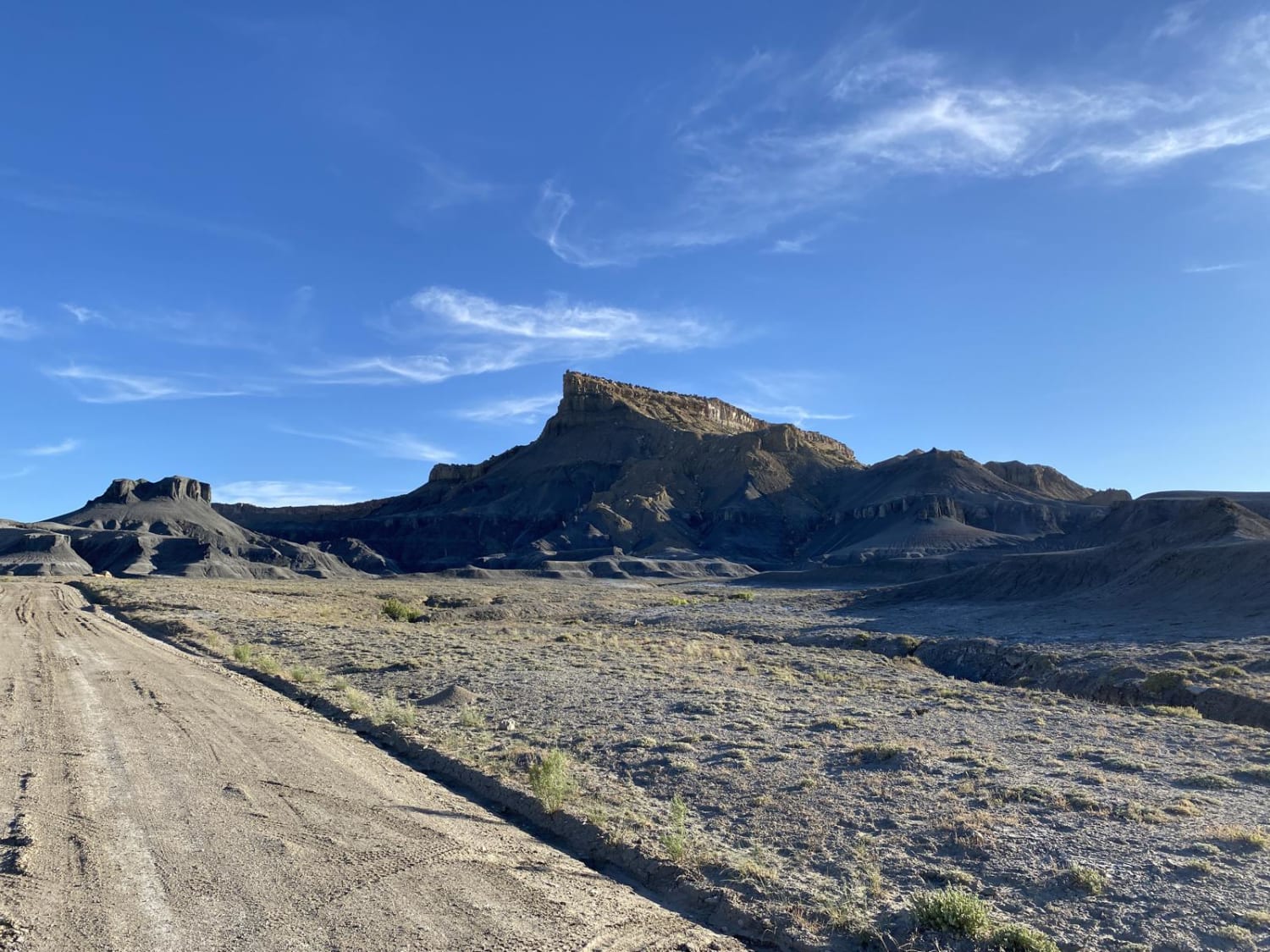
Lower Ranch Canyon Rd-Beaver County 23 is a 12.1-mile point-to-point trail rated 3 of 10 located in Beaver County, Utah. Lower Ranch is an improved dirt road and is maintained by the county for access into the Mineral Mountains and the Brundell Geothermal Power Plant on Hot Spring Road and would be rated 2 of 10. The trail consists of compressed dirt and gravel and is suitable for all vehicles in good weather. However, drivers should not venture onto side trails unless their can adequately hander rougher terrain. Access is from Pass Road 3.5-miles from Highway 21. The initial 7-miles is across barren scrub desert scape until the trail intersects with Hot Spring Road. After crossing Hot Spring Road, the trail will start the climb up into the Mineral Mountains becomes a single-track rated 3 of 10 with a total elevation gain of about 2000-feet. Lower Ranch runs between North and South Twin Flat Mountains which rise another 1000-feet above the road and ends on the southeast side of the south peak. The area is remote without cell phone service. Nearest services are located in Milford roughly 15-miles southwest.
Photos of Lower Ranch Canyon Road-Beaver County 23
Difficulty
Trail consisting of loose rocks, dirt, and sand with some slickrock surfaces, mud holes possible, no steps higher than 12". 4WD may be required, aggressive tires a plus.
Status Reports
Lower Ranch Canyon Road-Beaver County 23 can be accessed by the following ride types:
- High-Clearance 4x4
- SUV
- SxS (60")
- ATV (50")
- Dirt Bike
Lower Ranch Canyon Road-Beaver County 23 Map
Popular Trails
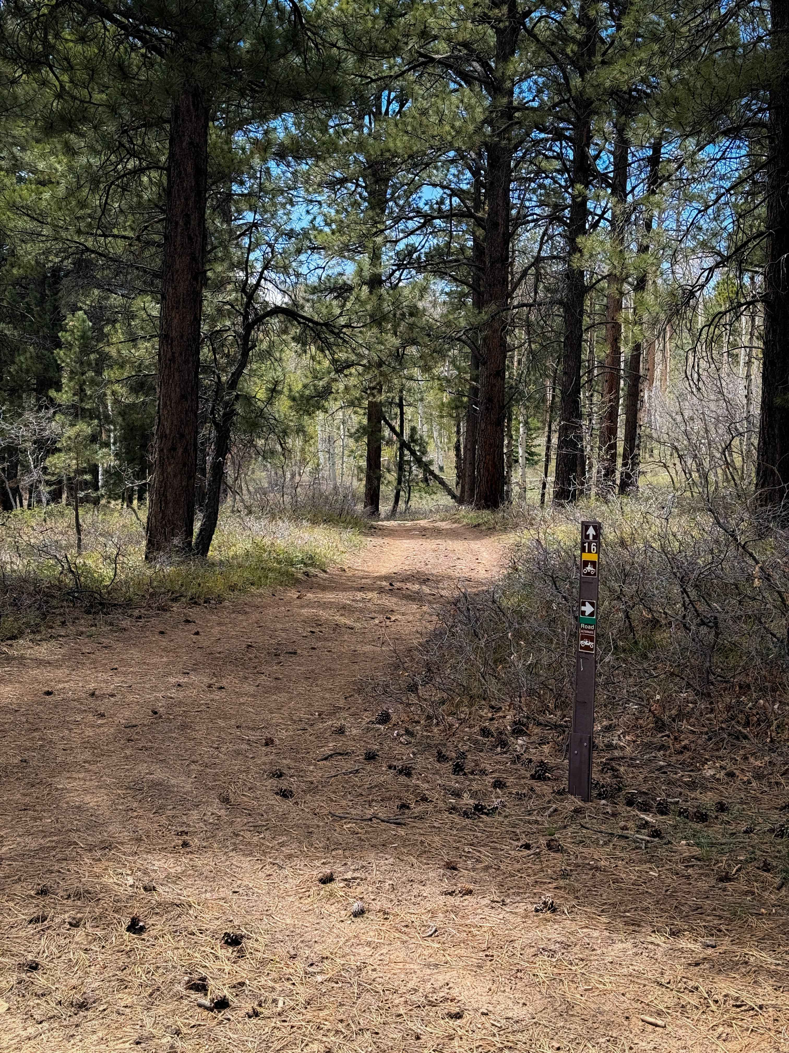
Trail 16 Loop
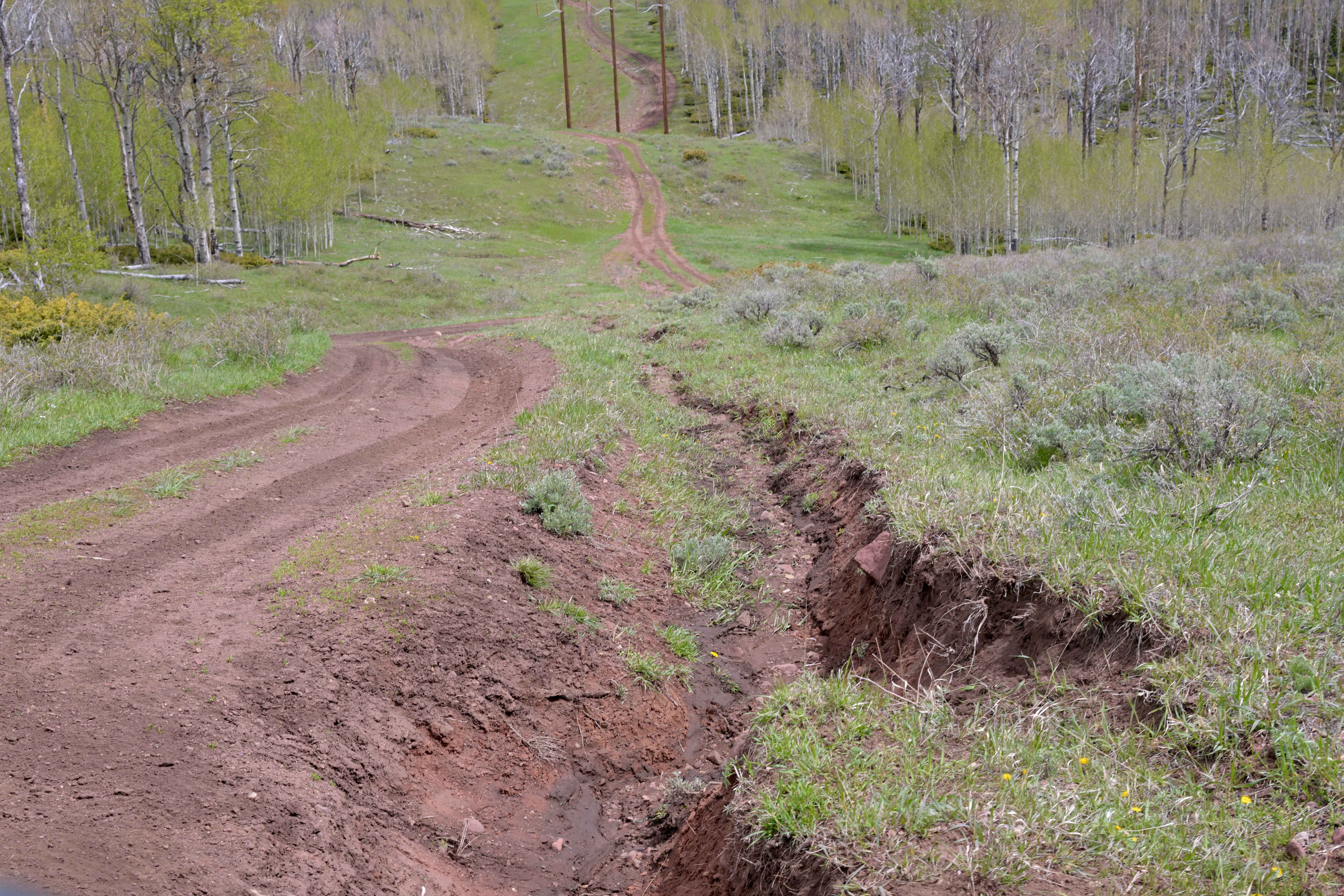
Power Line - FS 10574
Willow Springs Wash Road

Lavender Canyon Road - North
The onX Offroad Difference
onX Offroad combines trail photos, descriptions, difficulty ratings, width restrictions, seasonality, and more in a user-friendly interface. Available on all devices, with offline access and full compatibility with CarPlay and Android Auto. Discover what you’re missing today!