Lower Sand Cove Dam
Total Miles
2.6
Technical Rating
Best Time
Spring, Fall, Winter, Summer
Trail Type
Full-Width Road
Accessible By
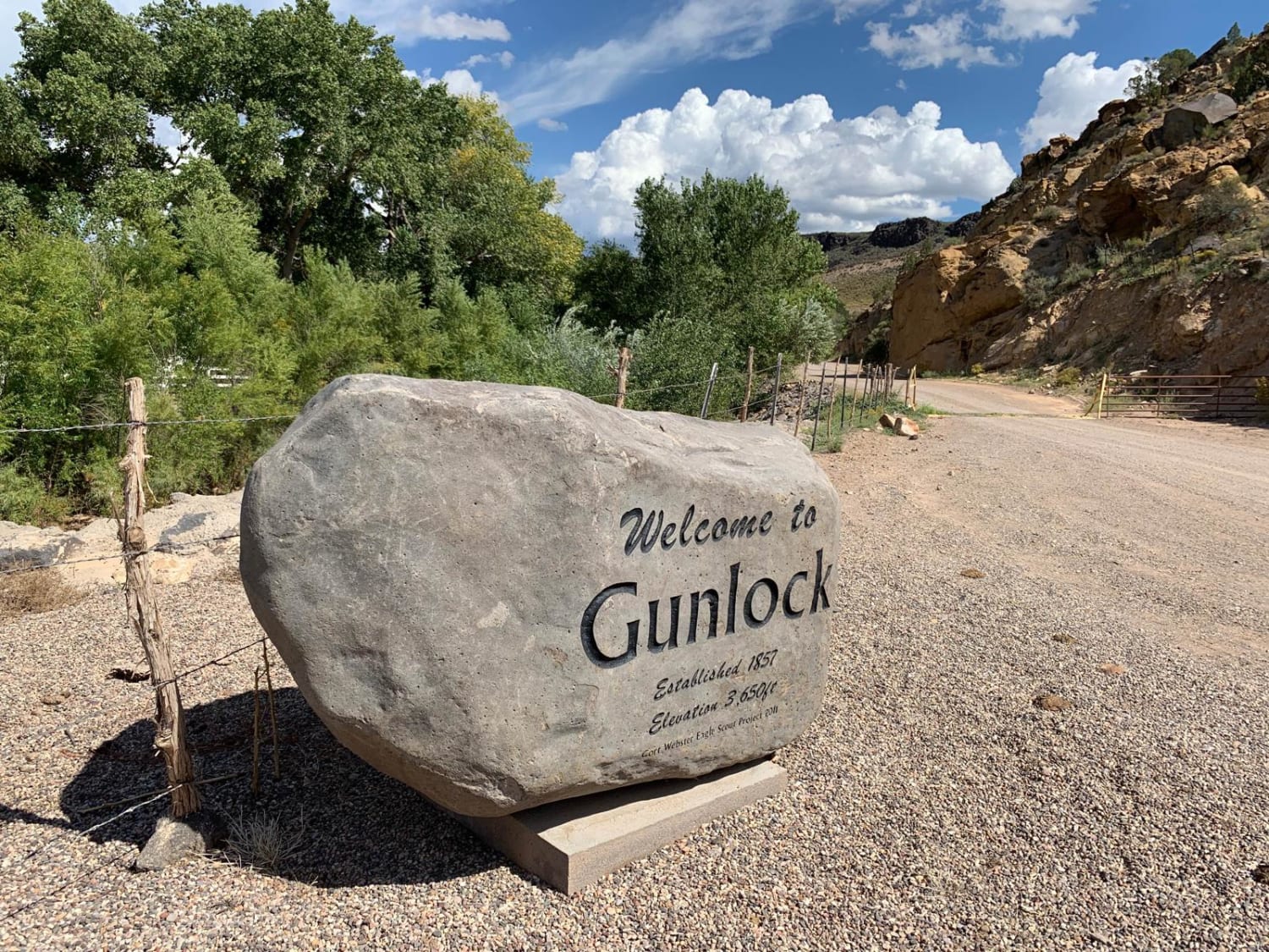
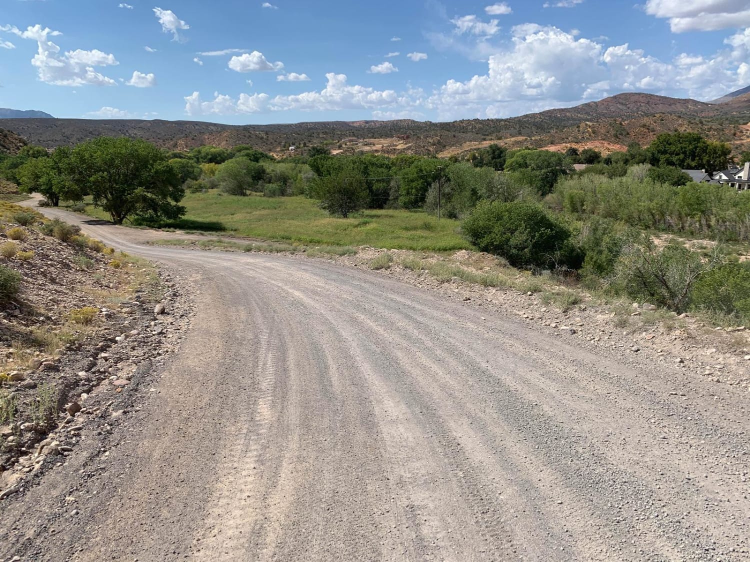
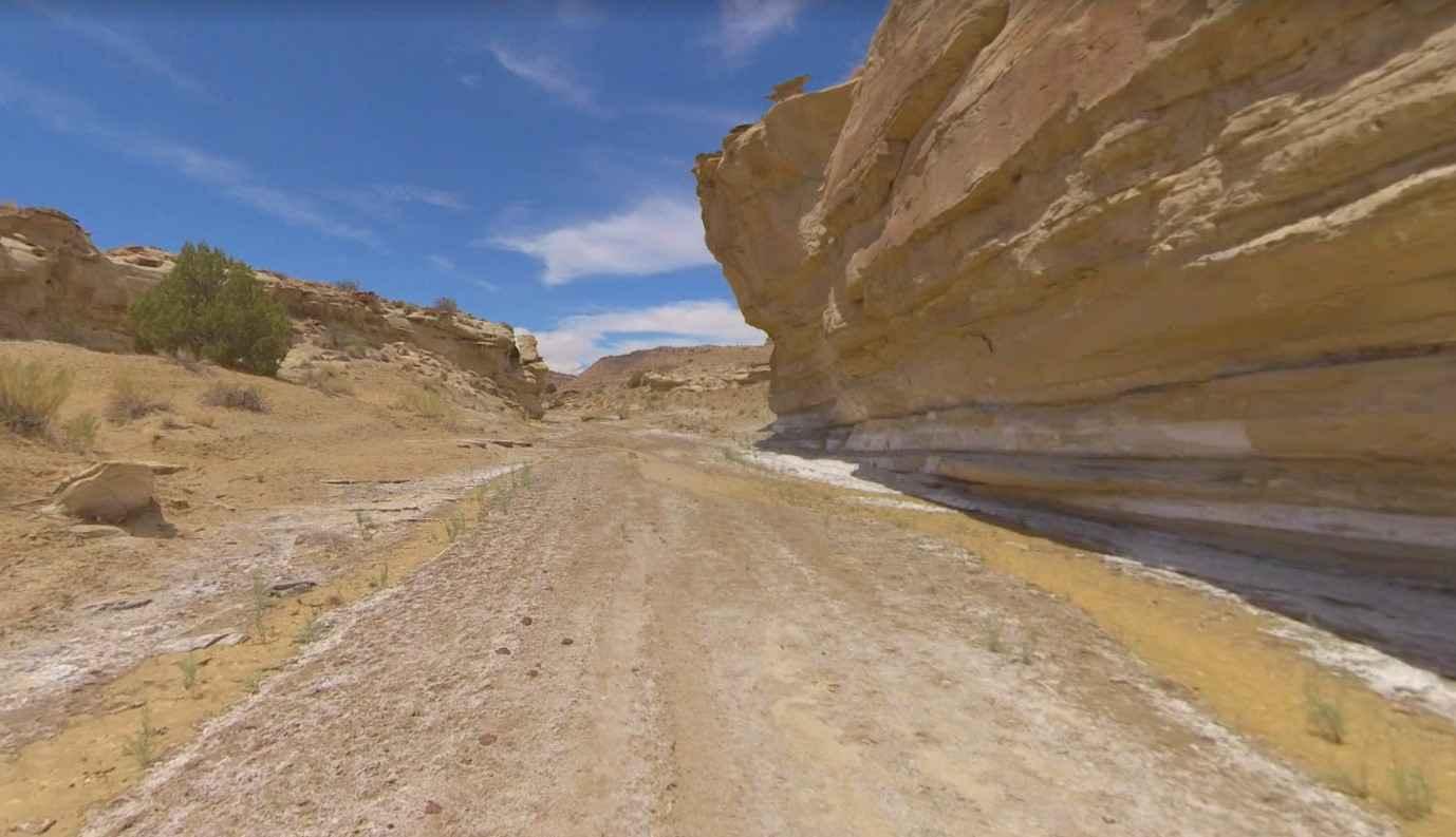
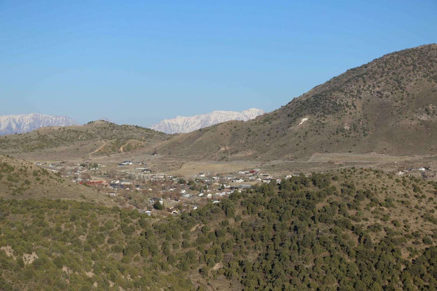
Trail Overview
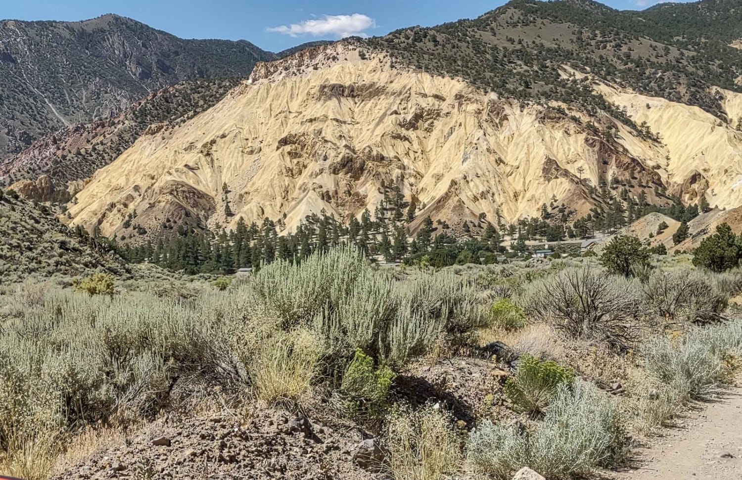
This short trail gradually climbs above the town of Gunlock through a series of switchbacks until you reach a plateau with sweeping views in all directions. Beautiful rock formations come into view as you proceed North West towards the dam. The mostly gravel two-track trail is nicely graded with only a few rough patches along the entire route. This trail ends at Lower Sand Cove Dam and is the perfect spot to cast a line and even take a swim!
Photos of Lower Sand Cove Dam
Difficulty
An easy two track trail suitable for most high-clearance vehicles.
Status Reports
Lower Sand Cove Dam can be accessed by the following ride types:
- High-Clearance 4x4
- SUV
- SxS (60")
- ATV (50")
- Dirt Bike
Lower Sand Cove Dam Map
Popular Trails
Brigham Plains Road-BLM430
Dagmar Mine

Baker Hogs Back Road
Views of Big Rock Candy Mountain Canyon
The onX Offroad Difference
onX Offroad combines trail photos, descriptions, difficulty ratings, width restrictions, seasonality, and more in a user-friendly interface. Available on all devices, with offline access and full compatibility with CarPlay and Android Auto. Discover what you’re missing today!