Off-Road Trails in Nevada
Discover off-road trails in Nevada
Learn more about Pabco Frontage Trail
Pabco Frontage Trail
Total Miles
2.1
Tech Rating
Easy
Best Time
Spring, Fall, Winter
Learn more about Pahroc Springs Road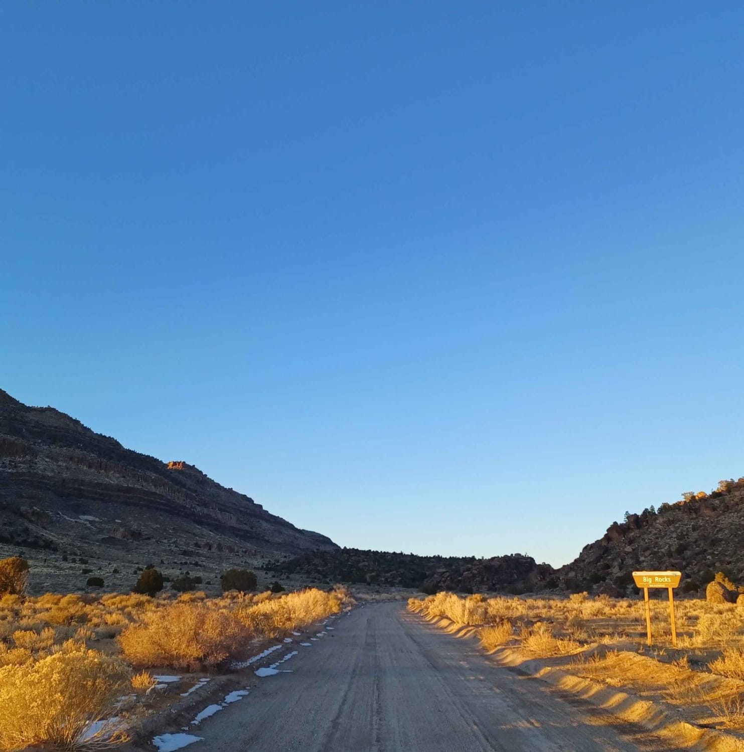
Pahroc Springs Road
Total Miles
10.0
Tech Rating
Easy
Best Time
Spring, Fall, Summer
Learn more about Pahrump to Mountain Springs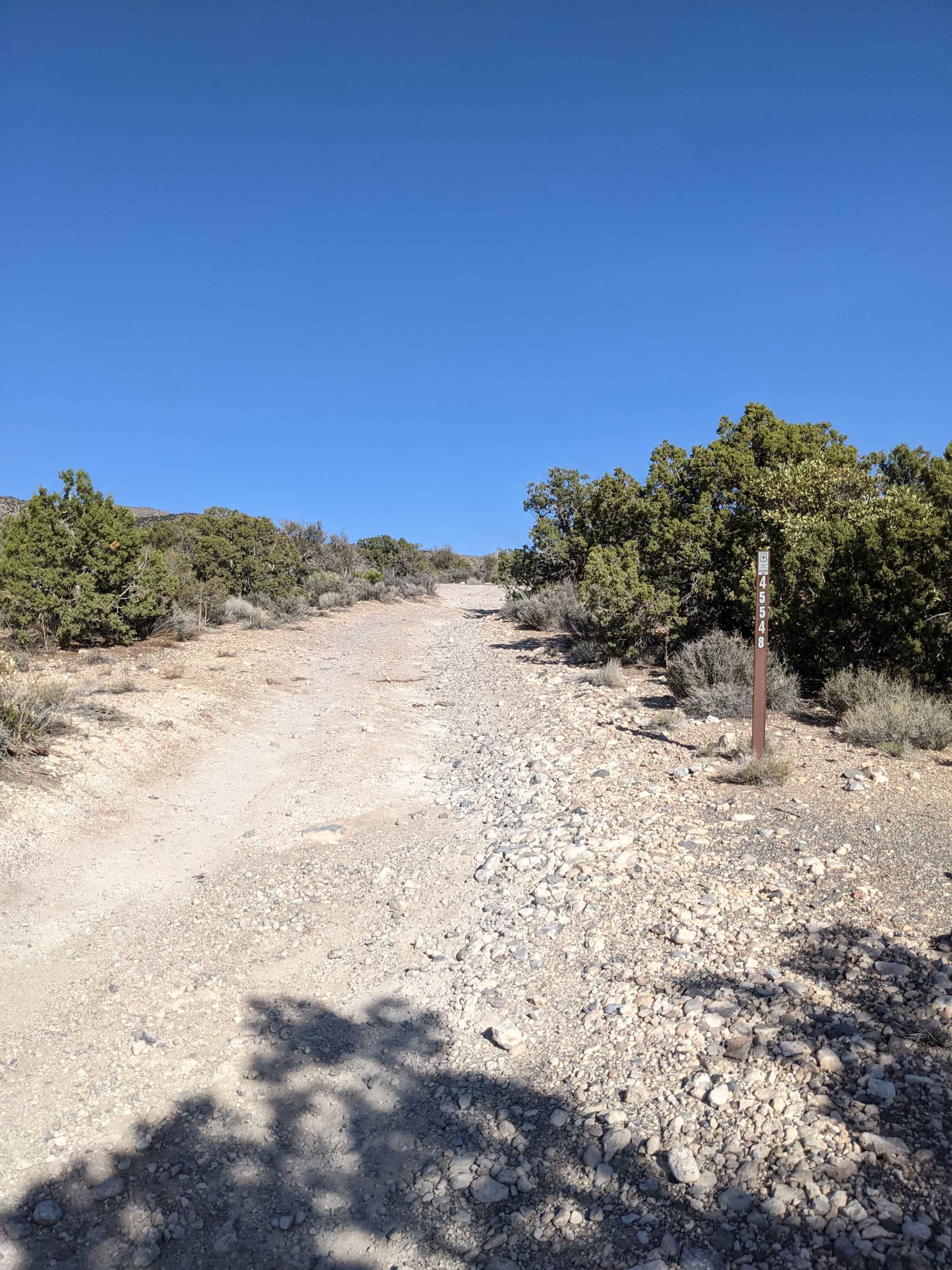
Pahrump to Mountain Springs
Total Miles
31.2
Tech Rating
Easy
Best Time
Spring, Summer, Fall

Learn more about Park Canyon - FS 43441
Park Canyon - FS 43441
Total Miles
2.9
Tech Rating
Moderate
Best Time
Spring, Summer, Fall
Learn more about Parker Canyon
Parker Canyon
Total Miles
14.5
Tech Rating
Easy
Best Time
Spring, Fall, Winter
Learn more about Parrotte Springs / Hannapah Road - FS 44505
Parrotte Springs / Hannapah Road - FS 44505
Total Miles
2.0
Tech Rating
Easy
Best Time
Spring, Summer, Fall
Learn more about Parrotte Springs Trail - FS 44505
Parrotte Springs Trail - FS 44505
Total Miles
5.1
Tech Rating
Easy
Best Time
Spring, Summer, Fall
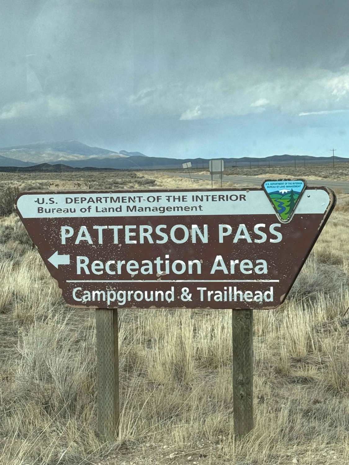
Learn more about Patterson Pass Loop
Patterson Pass Loop
Total Miles
18.7
Tech Rating
Moderate
Best Time
Summer, Fall
Learn more about Peavine Prospector Run
Peavine Prospector Run
Total Miles
11.7
Tech Rating
Easy
Best Time
Summer, Fall
Learn more about Peavine to Robb
Peavine to Robb
Total Miles
5.2
Tech Rating
Moderate
Best Time
Spring, Summer, Fall, Winter
Learn more about Pennsylvania Canyon Road
Pennsylvania Canyon Road
Total Miles
12.0
Tech Rating
Easy
Best Time
Spring, Summer, Fall, Winter
Learn more about Penoyer Spring Road
Penoyer Spring Road
Total Miles
20.9
Tech Rating
Easy
Best Time
Spring, Summer, Fall
Learn more about Pete's Well FS43282
Pete's Well FS43282
Total Miles
6.5
Tech Rating
Easy
Best Time
Spring, Summer, Fall
Learn more about Petro Ranch Road
Petro Ranch Road
Total Miles
5.2
Tech Rating
Easy
Best Time
Summer, Spring, Fall, Winter
Learn more about Phinney Canyon Road
Phinney Canyon Road
Total Miles
3.7
Tech Rating
Easy
Best Time
Winter, Fall, Spring
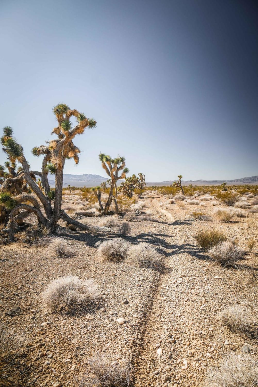
ATV trails in Nevada
Learn more about "Just Found It" Trail
"Just Found It" Trail
Total Miles
3.4
Tech Rating
Easy
Best Time
Spring, Summer, Fall, Winter
Learn more about 13-Mile Loop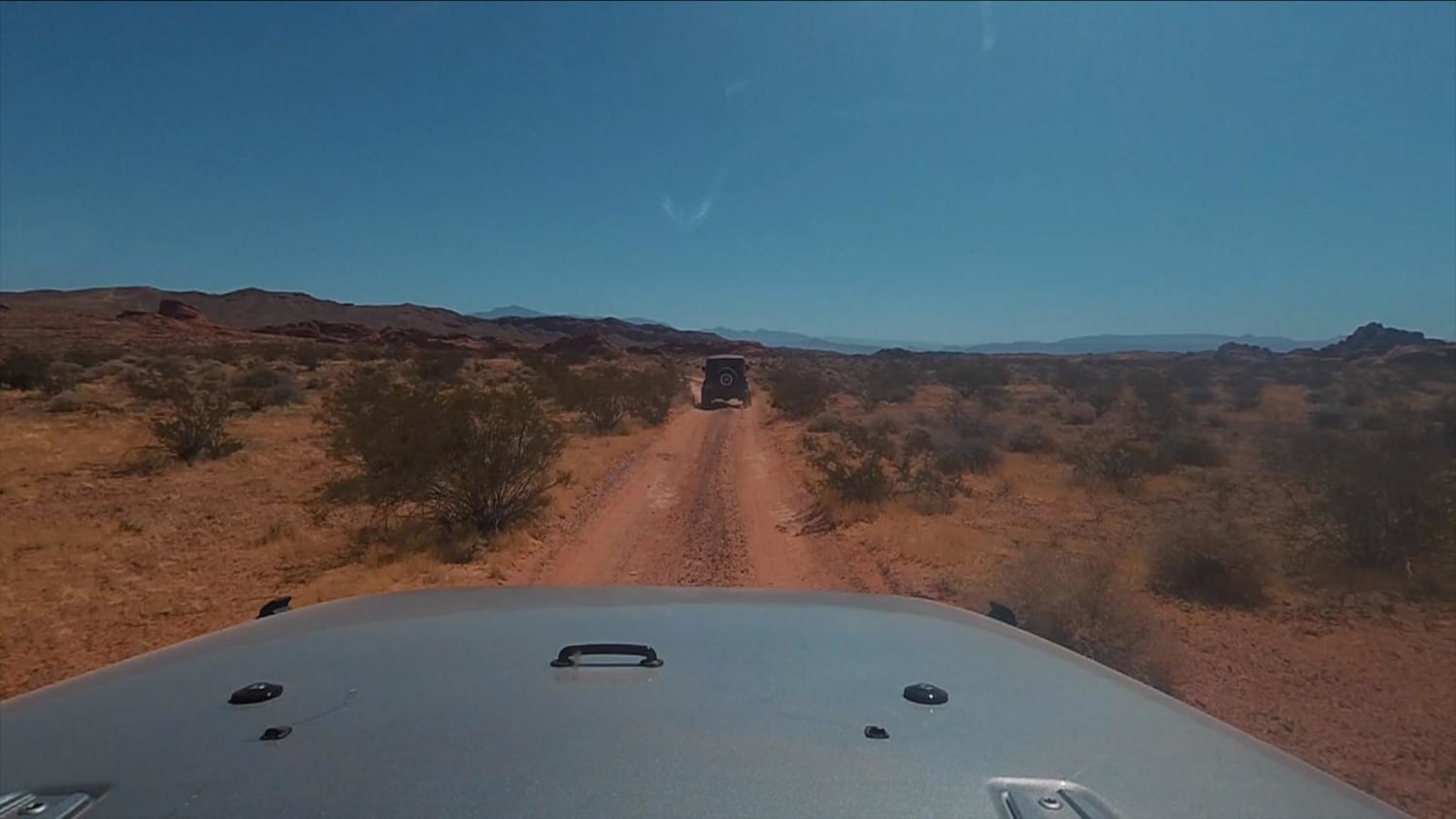
13-Mile Loop
Total Miles
17.4
Tech Rating
Easy
Best Time
Spring, Summer, Fall, Winter
Learn more about 1947 Bunker Trail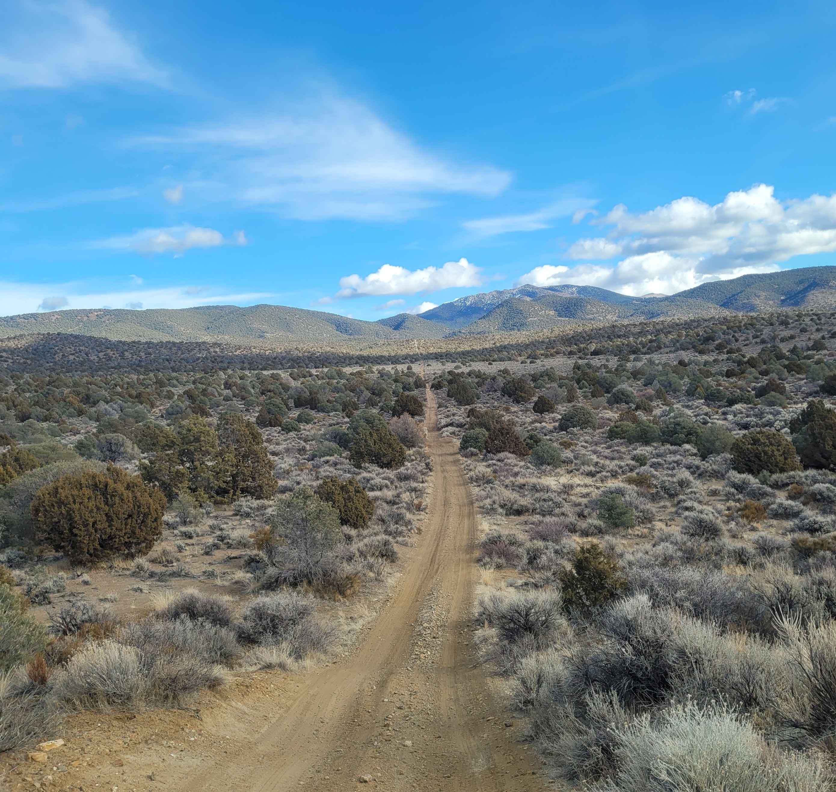
1947 Bunker Trail
Total Miles
6.5
Tech Rating
Easy
Best Time
Summer, Fall
Learn more about 265 Camping Crossover
265 Camping Crossover
Total Miles
2.3
Tech Rating
Easy
Best Time
Fall, Spring, Winter
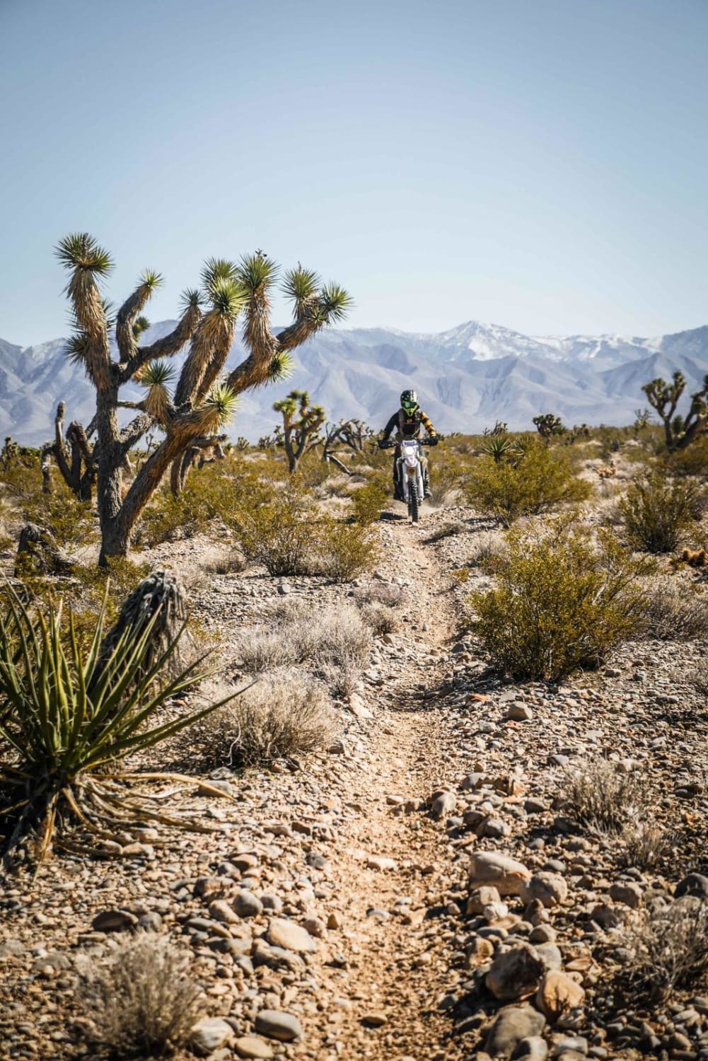
UTV/side-by-side trails in Nevada
Learn more about "Just Found It" Trail
"Just Found It" Trail
Total Miles
3.4
Tech Rating
Easy
Best Time
Spring, Summer, Fall, Winter
Learn more about 13-Mile Loop
13-Mile Loop
Total Miles
17.4
Tech Rating
Easy
Best Time
Spring, Summer, Fall, Winter
Learn more about 1947 Bunker Trail
1947 Bunker Trail
Total Miles
6.5
Tech Rating
Easy
Best Time
Summer, Fall
Learn more about 265 Camping Crossover
265 Camping Crossover
Total Miles
2.3
Tech Rating
Easy
Best Time
Fall, Spring, Winter
The onX Offroad Difference
onX Offroad combines trail photos, descriptions, difficulty ratings, width restrictions, seasonality, and more in a user-friendly interface. Available on all devices, with offline access and full compatibility with CarPlay and Android Auto. Discover what you’re missing today!