Pabco Frontage Trail
Total Miles
2.1
Technical Rating
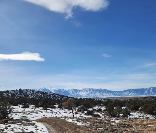
Best Time
Spring, Fall, Winter
Trail Type
Full-Width Road
Accessible By
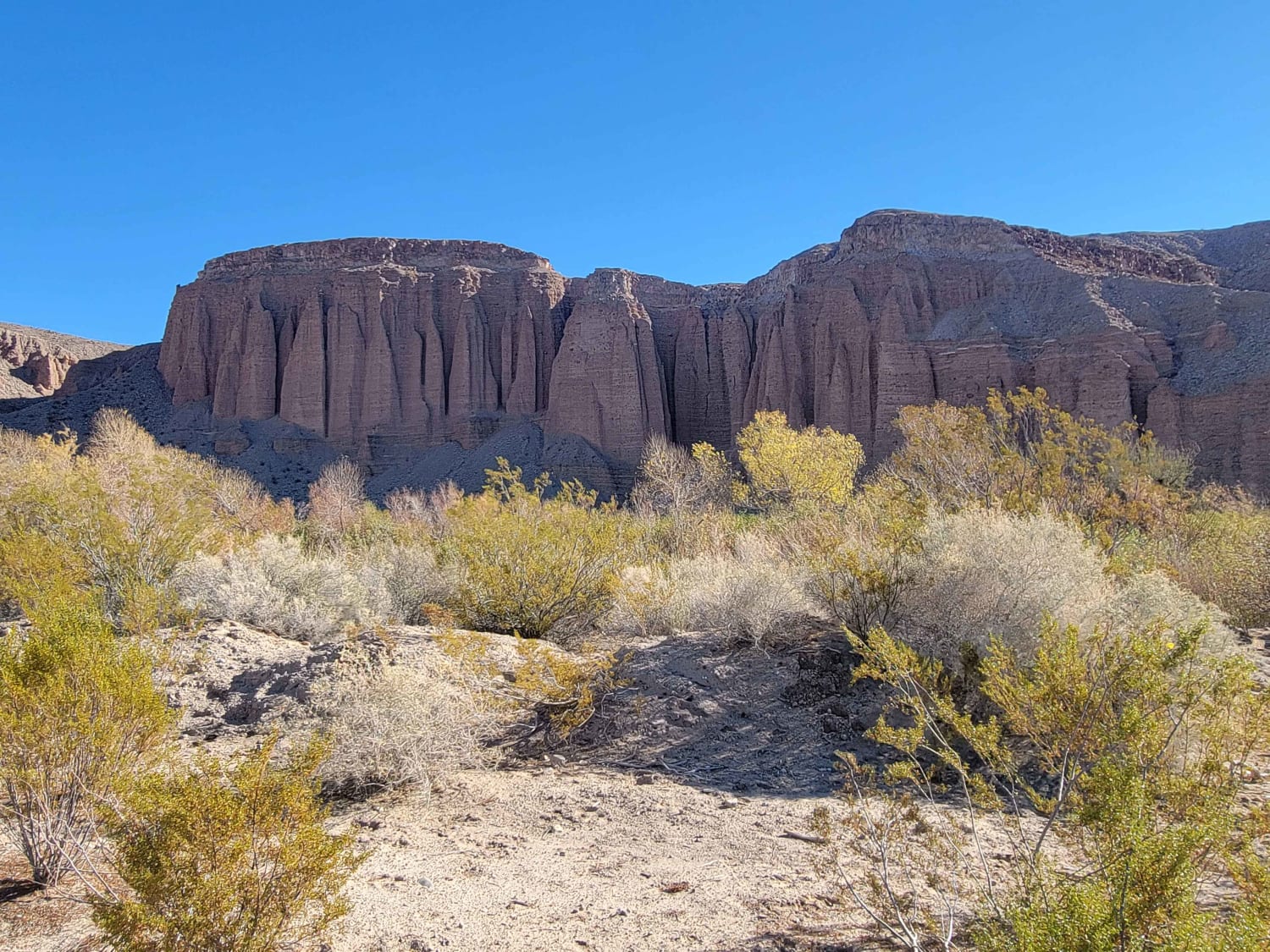
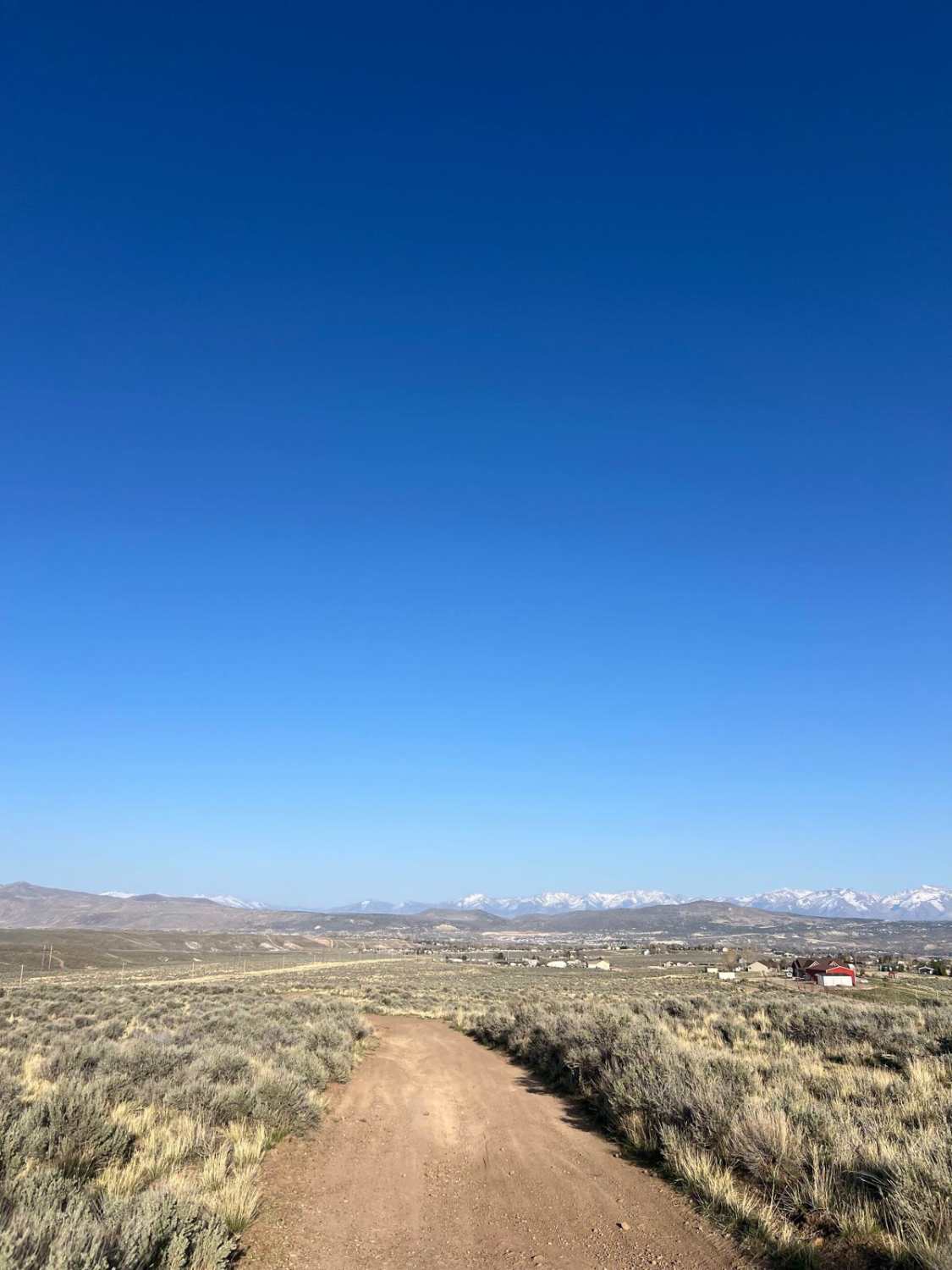
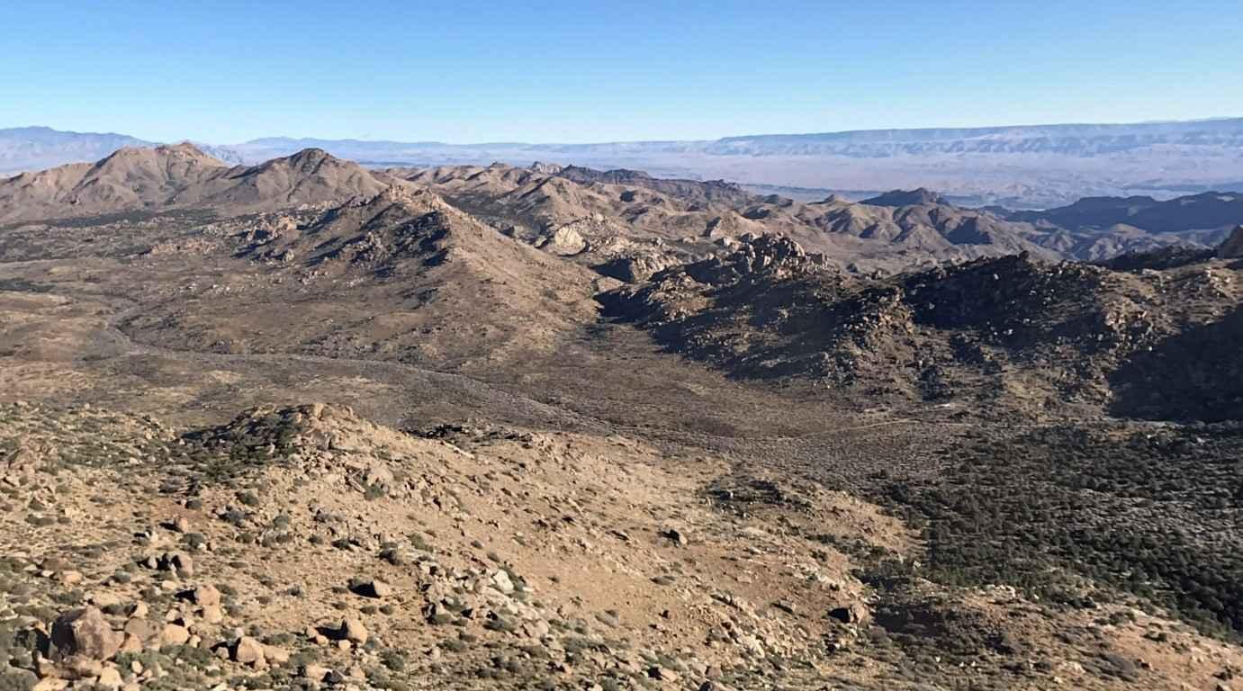
Trail Overview
Pabco Frontage Trail runs alongside the private Pabco Mine road. This route provides essential access to the vast network of trails in the area. This trail is predominantly easy to navigate, making it suitable for various vehicles and a great way to explore the desert landscape. As you travel along the Pabco Frontage Trail, watch for a few off-camber sections and deeper washouts contributing to its rated difficulty. While most of the trail is dirt, you'll encounter plenty of whoops along the way, adding fun dynamics to your ride. However, remain vigilant as trucks hauling drywall often speed past on the parallel road. Be sure to keep an eye out if you need to cross it. Important Note: Expect several bars of LTE service that may fade to almost none in certain stretches, so download your offline maps before your outing. The Pabco Frontage Trail is a key route linking to the extensive trail network leading out of the Nellis Dunes OHV area and into standard BLM land, offering ample opportunities for further exploration.
Photos of Pabco Frontage Trail


Difficulty
This trail is rated as a 3, reflecting the generally easy nature of the route and the occasional off-camber sections and deeper washouts that require slowing down and careful line choice.
Status Reports
Pabco Frontage Trail can be accessed by the following ride types:
- High-Clearance 4x4
- SUV
- SxS (60")
- ATV (50")
- Dirt Bike
Pabco Frontage Trail Map
Popular Trails
Mormon Canyon
Adobe Heights Bypass
Scanlon Ferry Road
P-10 Trail
The onX Offroad Difference
onX Offroad combines trail photos, descriptions, difficulty ratings, width restrictions, seasonality, and more in a user-friendly interface. Available on all devices, with offline access and full compatibility with CarPlay and Android Auto. Discover what you’re missing today!