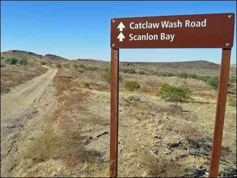
Scanlon Ferry Road
Total Miles
17.9
Technical Rating
Best Time
Summer, Spring, Fall, Winter
Trail Type
High-Clearance 4x4 Trail
Accessible By
Trail Overview
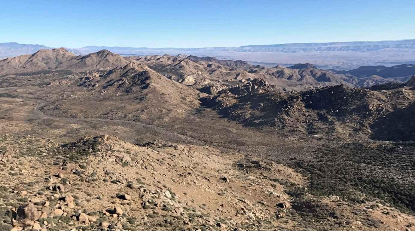
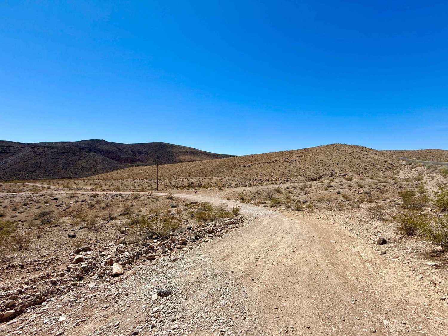
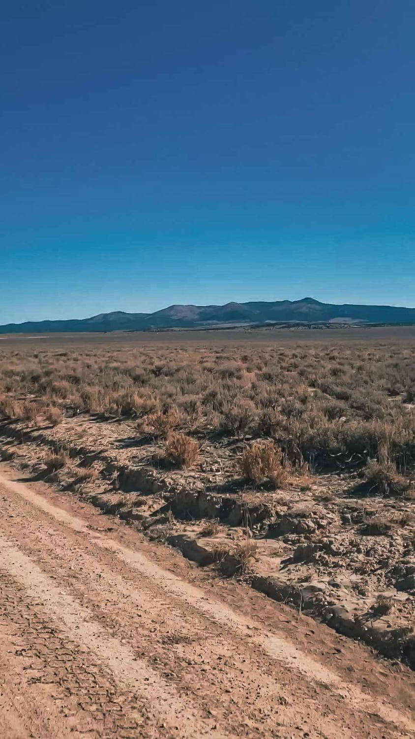
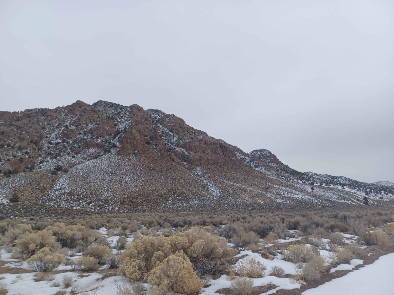
Scanlon Ferry Road is an 18-mile point-to-point trail rated 4 out of 10 located within the Gold Butte National Monument and the Lake Mead National Recreation Area. Scanlon Road is dying from neglect. The northern portions of the road are passable in a 2WD high-clearance vehicle, but farther south along the trail, it becomes 4WD only because of the road conditions. There are several areas where the trail has been washed out and previous visitors have created bypasses. At this point, the trail is only suitable for ATVs and high-clearance 4WD vehicles. Roughly 10 miles down the trail, you reach the Scanlon Dugway. This is the most dangerous section along the trail. The "dugway" is a section of road "dug out" of the cliffs where it descends through Gregg Canyon. The steep part of the dugway drops 1,040 feet in 1.3 miles, on average, a very steep roadway grade of 15%. About 2.5 miles beyond the top of the dugway, the road enters the Lake Mead National Recreation Area. The trail ends at the Colorado River where a ferry system once operated. There are no services of any kind along this road (no food, water, gas, or restrooms).
Photos of Scanlon Ferry Road
Difficulty
The trail consists of loose rock, dirt, and sand with some slickrock surfaces. There is some erosion; there are washes, gulches, and rock steps no higher than 18 inches. Tall tires (33-inch-plus) and limited slip are helpful, while 4WD is required. Technical driving skill, enhanced suspension travel, and good ground clearance are also beneficial.
History
The trail ends at the Colorado River where a ferry system once operated. Mike Scanlon initiated ferry service in 1881. Scanlon Road, as it was known back then, provided access to several mines in the area, including Lakeshore, Joker, Windmill, Greenhorn, and Jumbo Mines. The dugway was used by horse-drawn buggies and mule-drawn rigs hauling freight and mine or down to the ferry and across to what is now South Cove in the late 1800s to early 1900s.
Status Reports
Scanlon Ferry Road can be accessed by the following ride types:
- High-Clearance 4x4
- SxS (60")
- ATV (50")
- Dirt Bike
Scanlon Ferry Road Map
Popular Trails
West End Wash South 93
Carp Road-Lyman Crossing to Elgin
Farm View Road
North Crescent Road
The onX Offroad Difference
onX Offroad combines trail photos, descriptions, difficulty ratings, width restrictions, seasonality, and more in a user-friendly interface. Available on all devices, with offline access and full compatibility with CarPlay and Android Auto. Discover what you’re missing today!