Off-Road Trails in Nevada
Discover off-road trails in Nevada
Learn more about Pine Canyon Dam Road
Pine Canyon Dam Road
Total Miles
3.7
Tech Rating
Easy
Best Time
Spring, Summer, Fall
Learn more about Pine forest range ridge
Pine forest range ridge
Total Miles
20.3
Tech Rating
Moderate
Best Time
Summer, Fall
Learn more about Pine Grove Connector ATV
Pine Grove Connector ATV
Total Miles
0.7
Tech Rating
Extreme
Best Time
Fall, Summer, Spring
Learn more about Pine Nut Mountains Vista Trail
Pine Nut Mountains Vista Trail
Total Miles
2.6
Tech Rating
Easy
Best Time
Spring, Summer, Fall, Winter
Learn more about Pine Nut Road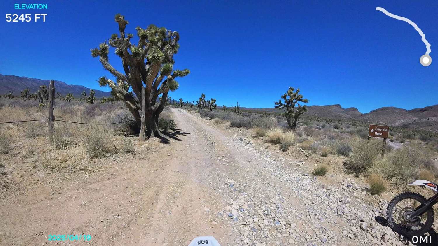
Pine Nut Road
Total Miles
6.0
Tech Rating
Easy
Best Time
Spring, Summer, Fall
Learn more about Pine Nuts P-16 Trail
Pine Nuts P-16 Trail
Total Miles
6.1
Tech Rating
Easy
Best Time
Spring, Summer, Fall
Learn more about Pole Line Road
Pole Line Road
Total Miles
6.9
Tech Rating
Easy
Best Time
Winter, Fall, Spring
Learn more about Policemans' Wash
Policemans' Wash
Total Miles
6.5
Tech Rating
Easy
Best Time
Spring, Summer, Fall, Winter
Learn more about Pony Express Trail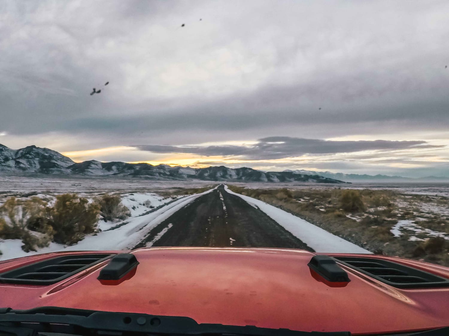
Pony Express Trail
Total Miles
487.0
Tech Rating
Easy
Best Time
Spring, Summer, Fall
Learn more about Pony Express Trail 1860 California Telegraph Route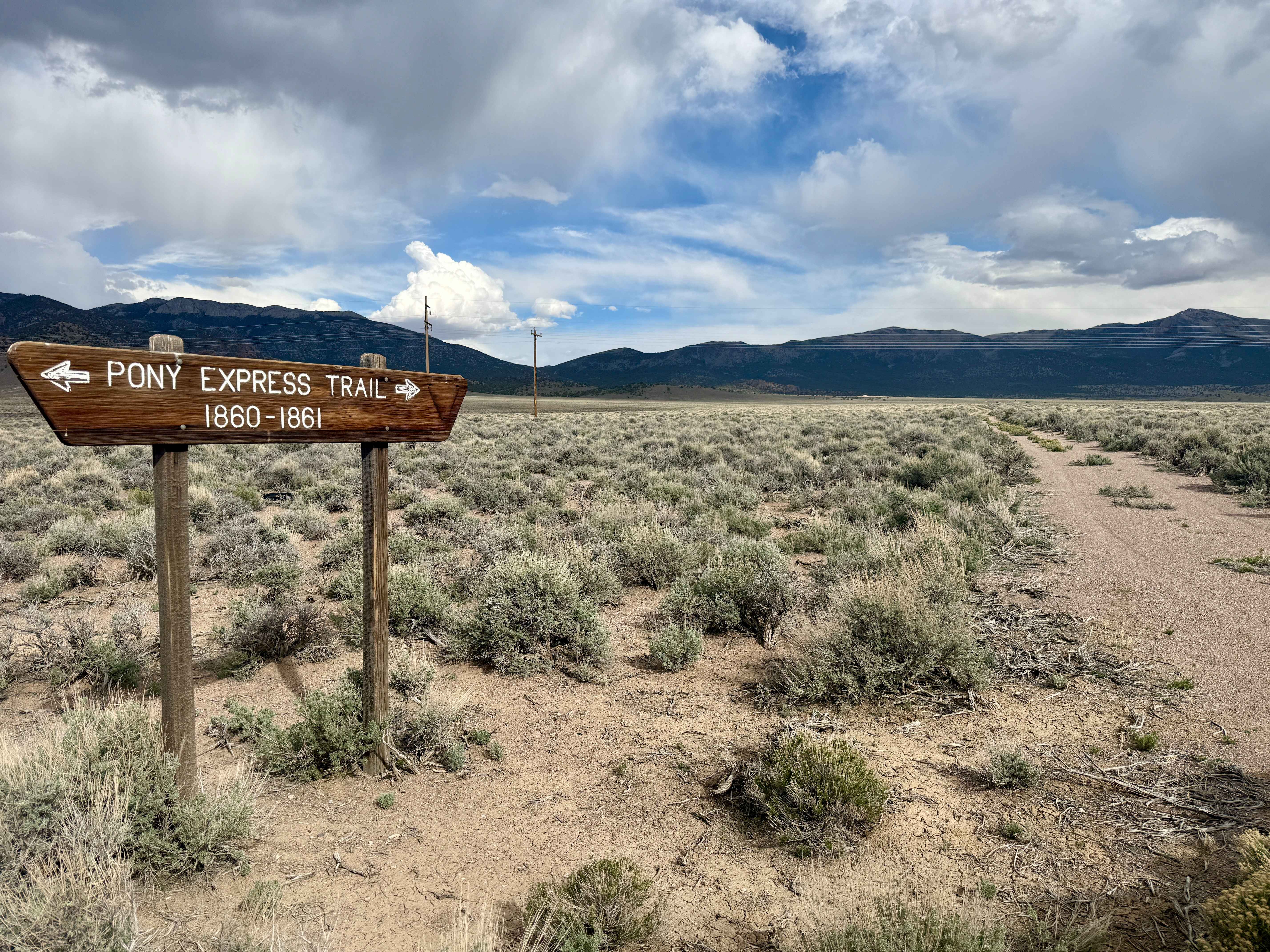
Pony Express Trail 1860 California Telegraph Route
Total Miles
2.2
Tech Rating
Easy
Best Time
Spring, Fall, Summer, Winter
Learn more about Potosi Pass Road
Potosi Pass Road
Total Miles
12.7
Tech Rating
Moderate
Best Time
Spring, Summer, Fall, Winter
Learn more about Potosi Tower Road
Potosi Tower Road
Total Miles
7.7
Tech Rating
Easy
Best Time
Spring, Summer, Fall, Winter
Learn more about Power Line Trail RSM
Power Line Trail RSM
Total Miles
7.0
Tech Rating
Moderate
Best Time
Summer, Fall
Learn more about Power Run Road
Power Run Road
Total Miles
11.5
Tech Rating
Easy
Best Time
Spring, Summer, Fall, Winter
Learn more about Powerline Road
Powerline Road
Total Miles
6.1
Tech Rating
Easy
Best Time
Fall, Summer, Spring
Learn more about Powerline Wash Road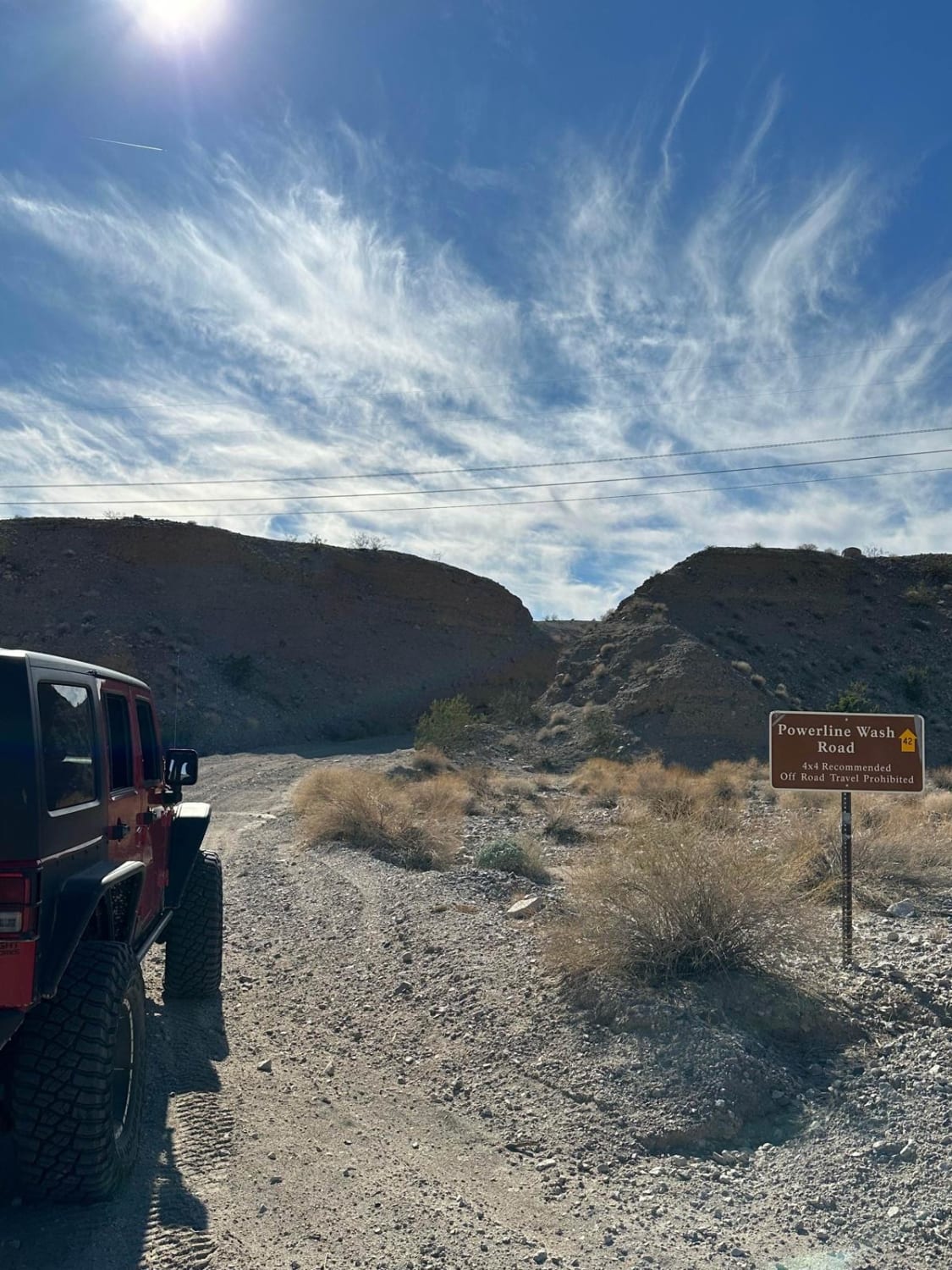
Powerline Wash Road
Total Miles
1.3
Tech Rating
Easy
Best Time
Spring, Summer, Winter, Fall
Learn more about Purple Pancakes Fly at Midnight
Purple Pancakes Fly at Midnight
Total Miles
20.3
Tech Rating
Moderate
Best Time
Summer, Fall
ATV trails in Nevada
Learn more about "Just Found It" Trail
"Just Found It" Trail
Total Miles
3.4
Tech Rating
Easy
Best Time
Spring, Summer, Fall, Winter
Learn more about 13-Mile Loop
13-Mile Loop
Total Miles
17.4
Tech Rating
Easy
Best Time
Spring, Summer, Fall, Winter
Learn more about 1947 Bunker Trail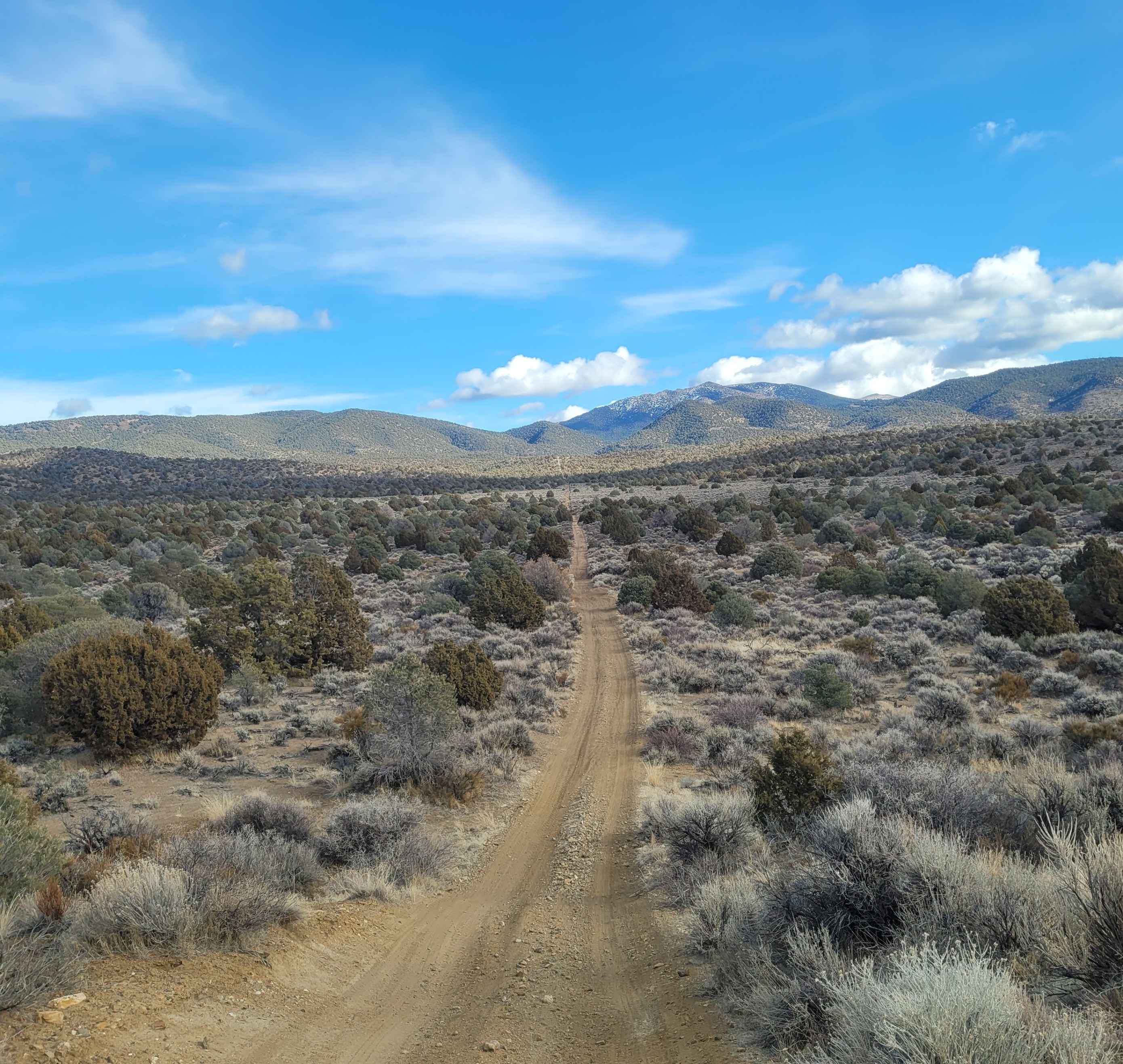
1947 Bunker Trail
Total Miles
6.5
Tech Rating
Easy
Best Time
Summer, Fall
Learn more about 265 Camping Crossover
265 Camping Crossover
Total Miles
2.3
Tech Rating
Easy
Best Time
Fall, Spring, Winter
UTV/side-by-side trails in Nevada
Learn more about "Just Found It" Trail
"Just Found It" Trail
Total Miles
3.4
Tech Rating
Easy
Best Time
Spring, Summer, Fall, Winter
Learn more about 13-Mile Loop
13-Mile Loop
Total Miles
17.4
Tech Rating
Easy
Best Time
Spring, Summer, Fall, Winter
Learn more about 1947 Bunker Trail
1947 Bunker Trail
Total Miles
6.5
Tech Rating
Easy
Best Time
Summer, Fall
Learn more about 265 Camping Crossover
265 Camping Crossover
Total Miles
2.3
Tech Rating
Easy
Best Time
Fall, Spring, Winter
The onX Offroad Difference
onX Offroad combines trail photos, descriptions, difficulty ratings, width restrictions, seasonality, and more in a user-friendly interface. Available on all devices, with offline access and full compatibility with CarPlay and Android Auto. Discover what you’re missing today!