Off-Road Trails in Nevada
Discover off-road trails in Nevada
Learn more about Mormon Mesa Rim
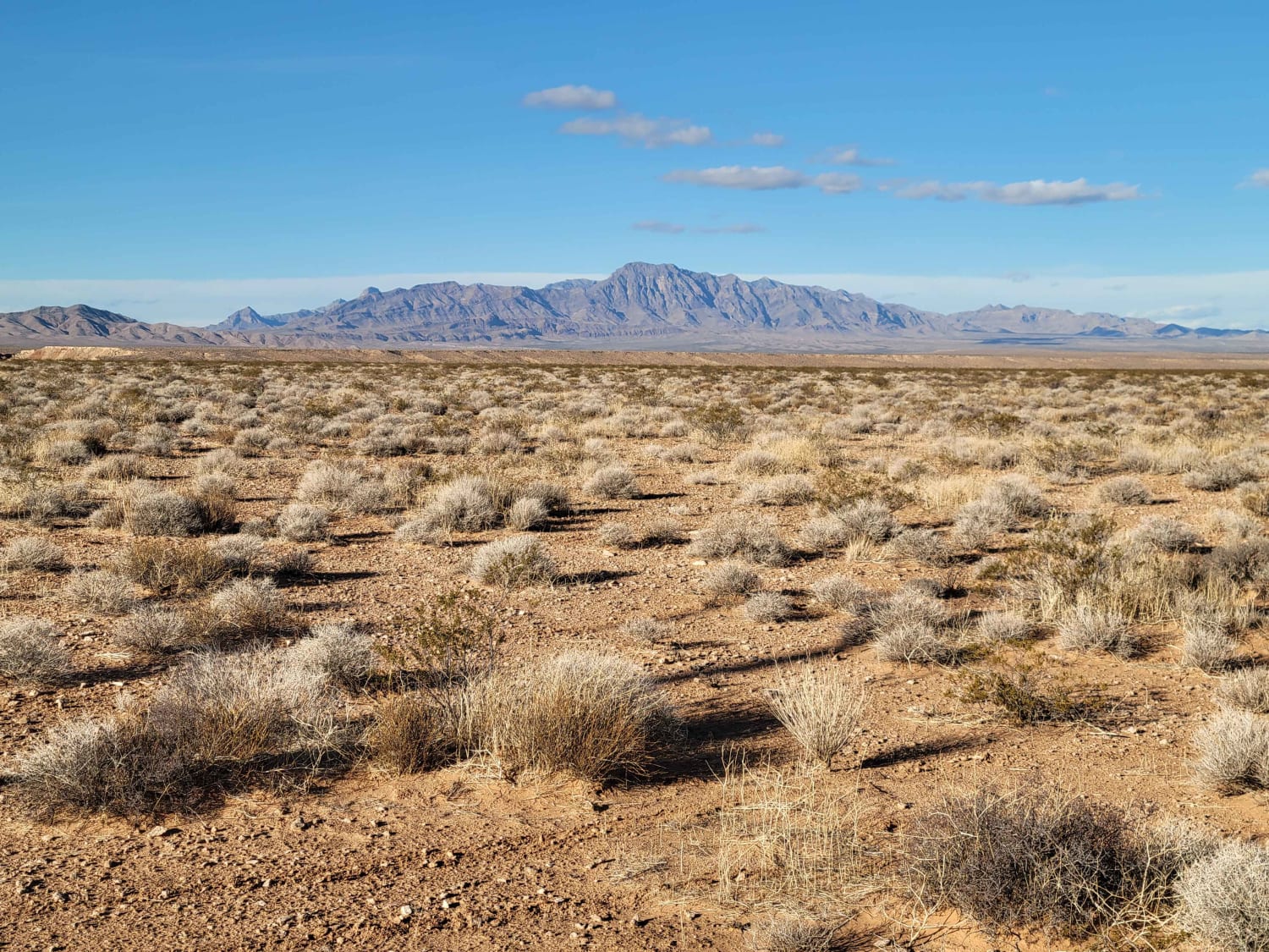
Mormon Mesa Rim
Total Miles
9.8
Tech Rating
Easy
Best Time
Spring, Fall, Winter
Learn more about Mormon Mesa Southeast Rim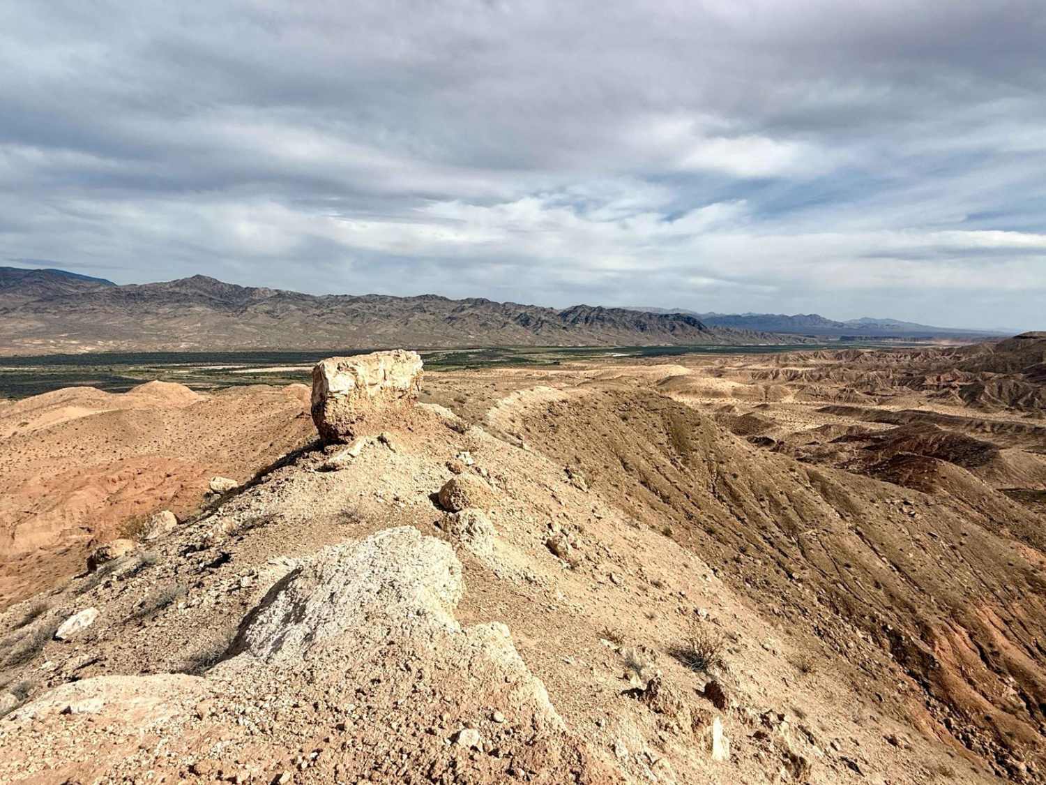
Mormon Mesa Southeast Rim
Total Miles
10.1
Tech Rating
Easy
Best Time
Spring, Fall, Winter
Learn more about Mormon Mesa Southwest Rim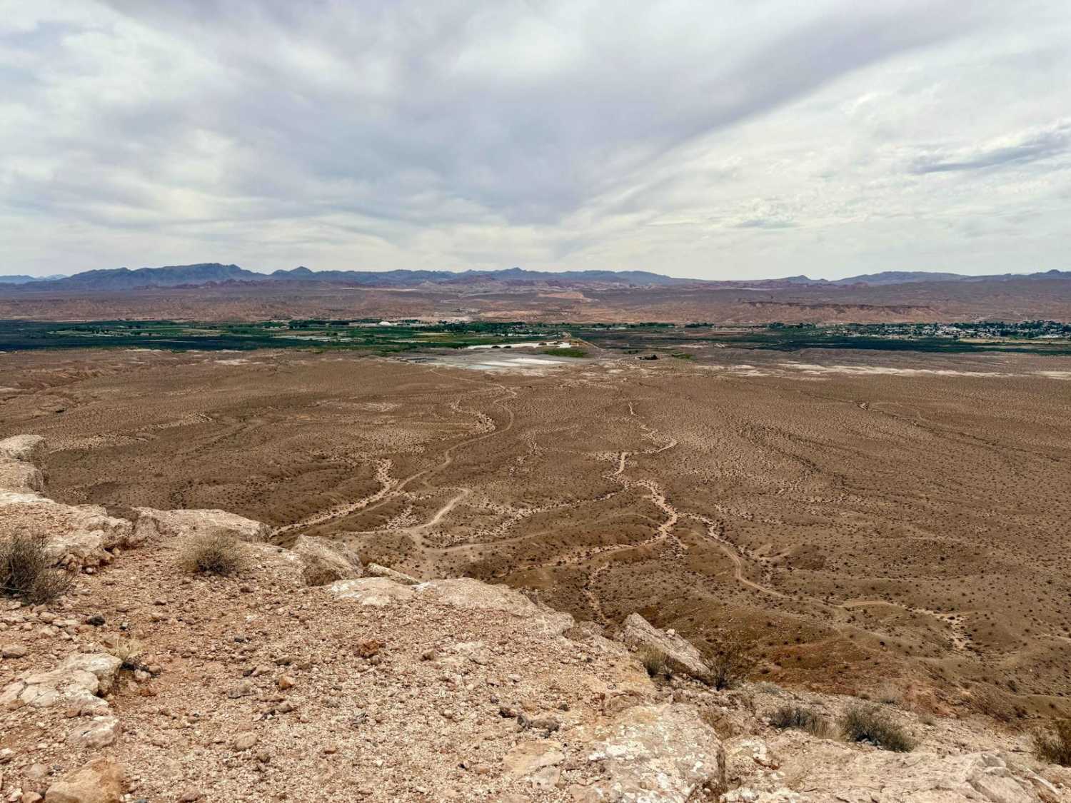
Mormon Mesa Southwest Rim
Total Miles
6.5
Tech Rating
Easy
Best Time
Spring, Fall, Winter
Learn more about Mormon Well Road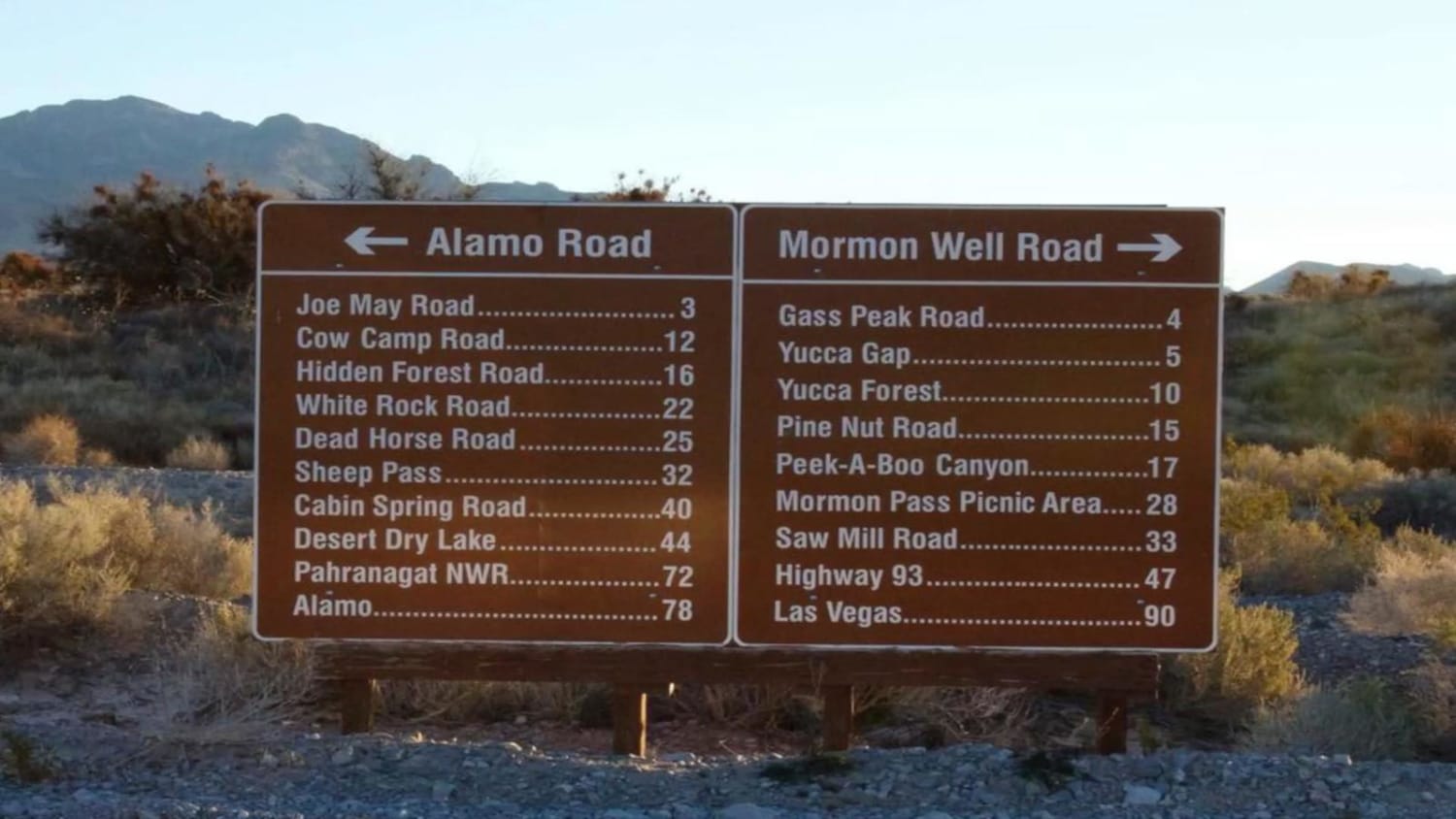
Mormon Well Road
Total Miles
41.6
Tech Rating
Easy
Best Time
Spring, Summer, Fall
Learn more about Mount Prometheus - FS 43225
Mount Prometheus - FS 43225
Total Miles
2.8
Tech Rating
Easy
Best Time
Spring, Summer, Fall
Learn more about Mount Wilson Navigation Towers
Mount Wilson Navigation Towers
Total Miles
26.1
Tech Rating
Easy
Best Time
Spring, Summer, Fall
Learn more about Mountain Wash Road to Morning Star Cove
Mountain Wash Road to Morning Star Cove
Total Miles
3.7
Tech Rating
Easy
Best Time
Spring, Summer, Fall, Winter
Learn more about Muleshoe Valley Road
Muleshoe Valley Road
Total Miles
41.4
Tech Rating
Easy
Best Time
Summer, Fall
Learn more about Murphy Gap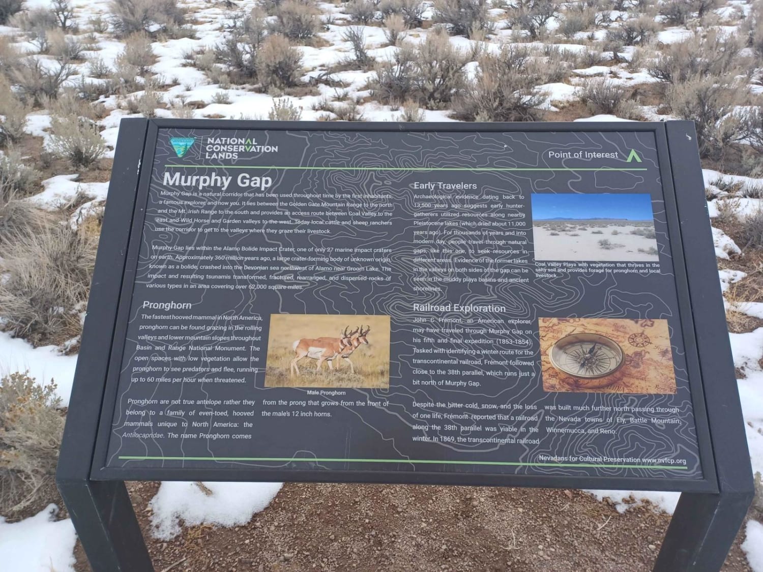
Murphy Gap
Total Miles
7.5
Tech Rating
Easy
Best Time
Summer, Spring, Fall, Winter
Learn more about Nellis Bypass to Vegas View Ridge
Nellis Bypass to Vegas View Ridge
Total Miles
1.9
Tech Rating
Easy
Best Time
Spring, Fall, Winter
Learn more about Nellis Bypass West
Nellis Bypass West
Total Miles
2.9
Tech Rating
Moderate
Best Time
Spring, Fall, Winter
Learn more about Nellis Cove Road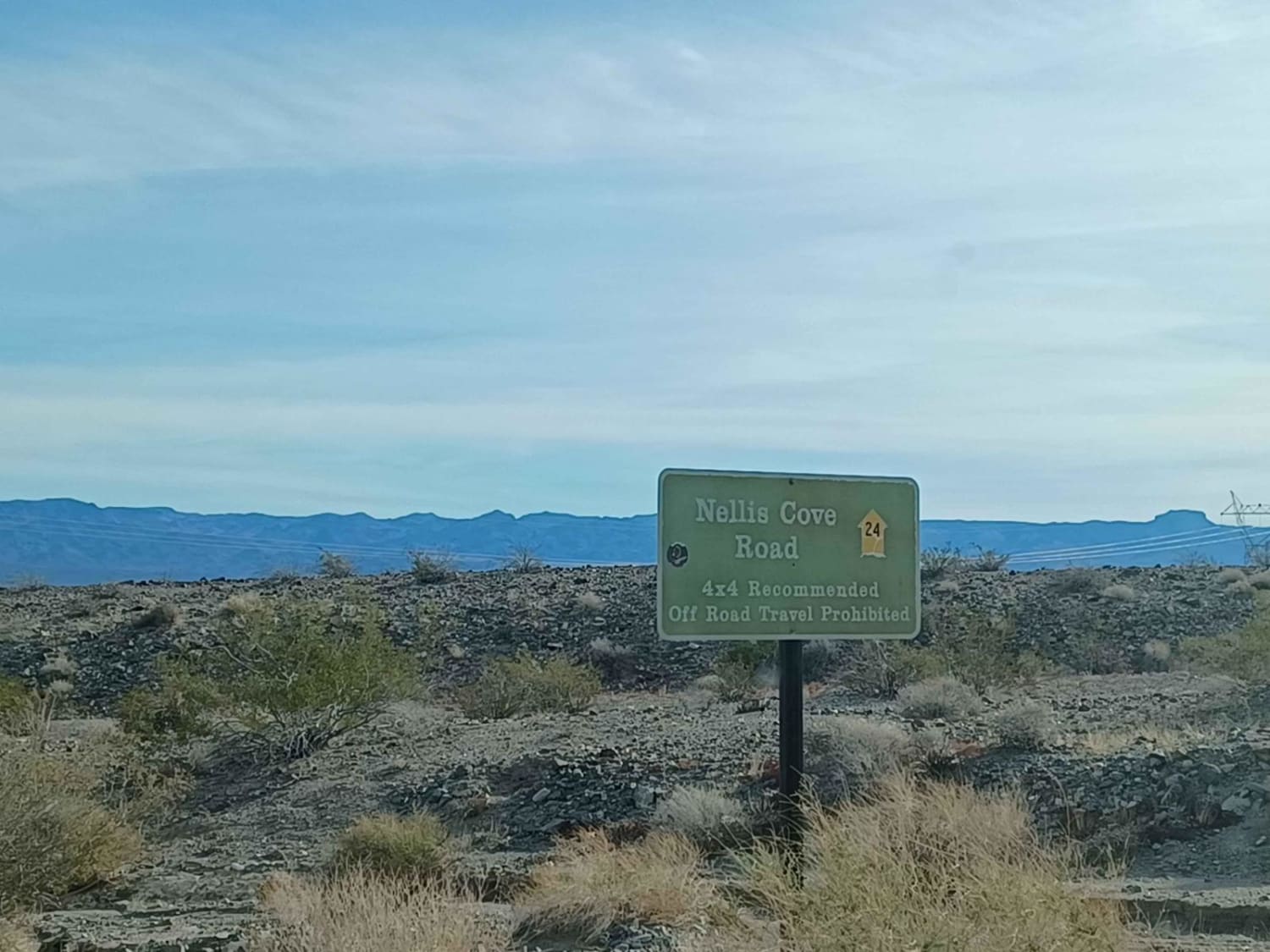
Nellis Cove Road
Total Miles
2.5
Tech Rating
Easy
Best Time
Spring, Summer, Fall, Winter
Learn more about Nelson ATV Trail 
Nelson ATV Trail
Total Miles
2.9
Tech Rating
Easy
Best Time
Spring, Fall, Winter
Learn more about Nelson Cutoff Road
Nelson Cutoff Road
Total Miles
4.2
Tech Rating
Easy
Best Time
Spring, Summer, Fall, Winter
Learn more about Nelson Rollercoaster
Nelson Rollercoaster
Total Miles
12.2
Tech Rating
Easy
Best Time
Spring, Fall, Winter
Learn more about Nelson Single Track 
Nelson Single Track
Total Miles
2.4
Tech Rating
Moderate
Best Time
Spring, Winter, Fall
Learn more about Nelson View Single Track 
Nelson View Single Track
Total Miles
1.2
Tech Rating
Moderate
Best Time
Spring, Winter, Fall
Learn more about Nevada Telephone Cove Road
Nevada Telephone Cove Road
Total Miles
4.7
Tech Rating
Easy
Best Time
Spring, Summer, Fall, Winter
ATV trails in Nevada
Learn more about "Just Found It" Trail
"Just Found It" Trail
Total Miles
3.4
Tech Rating
Easy
Best Time
Spring, Summer, Fall, Winter
Learn more about 13-Mile Loop
13-Mile Loop
Total Miles
17.4
Tech Rating
Easy
Best Time
Spring, Summer, Fall, Winter
Learn more about 1947 Bunker Trail
1947 Bunker Trail
Total Miles
6.5
Tech Rating
Easy
Best Time
Summer, Fall
Learn more about 265 Camping Crossover
265 Camping Crossover
Total Miles
2.3
Tech Rating
Easy
Best Time
Fall, Spring, Winter
UTV/side-by-side trails in Nevada
Learn more about "Just Found It" Trail
"Just Found It" Trail
Total Miles
3.4
Tech Rating
Easy
Best Time
Spring, Summer, Fall, Winter
Learn more about 13-Mile Loop
13-Mile Loop
Total Miles
17.4
Tech Rating
Easy
Best Time
Spring, Summer, Fall, Winter
Learn more about 1947 Bunker Trail
1947 Bunker Trail
Total Miles
6.5
Tech Rating
Easy
Best Time
Summer, Fall
Learn more about 265 Camping Crossover
265 Camping Crossover
Total Miles
2.3
Tech Rating
Easy
Best Time
Fall, Spring, Winter
The onX Offroad Difference
onX Offroad combines trail photos, descriptions, difficulty ratings, width restrictions, seasonality, and more in a user-friendly interface. Available on all devices, with offline access and full compatibility with CarPlay and Android Auto. Discover what you’re missing today!