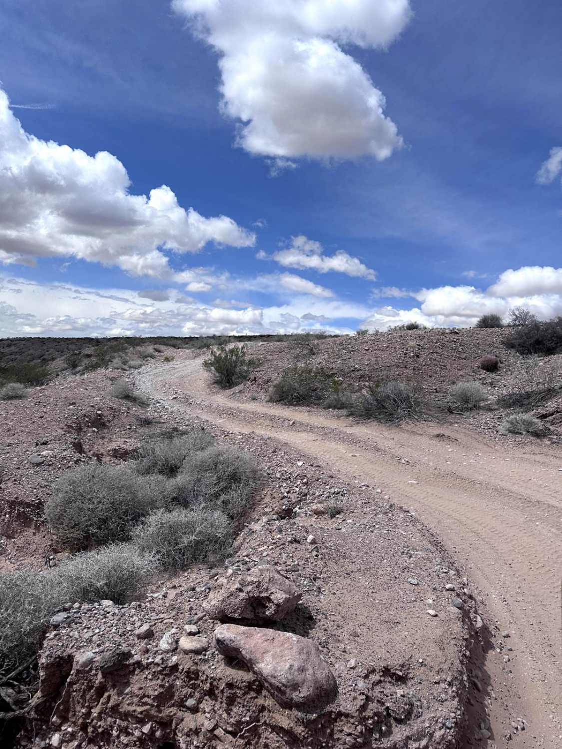
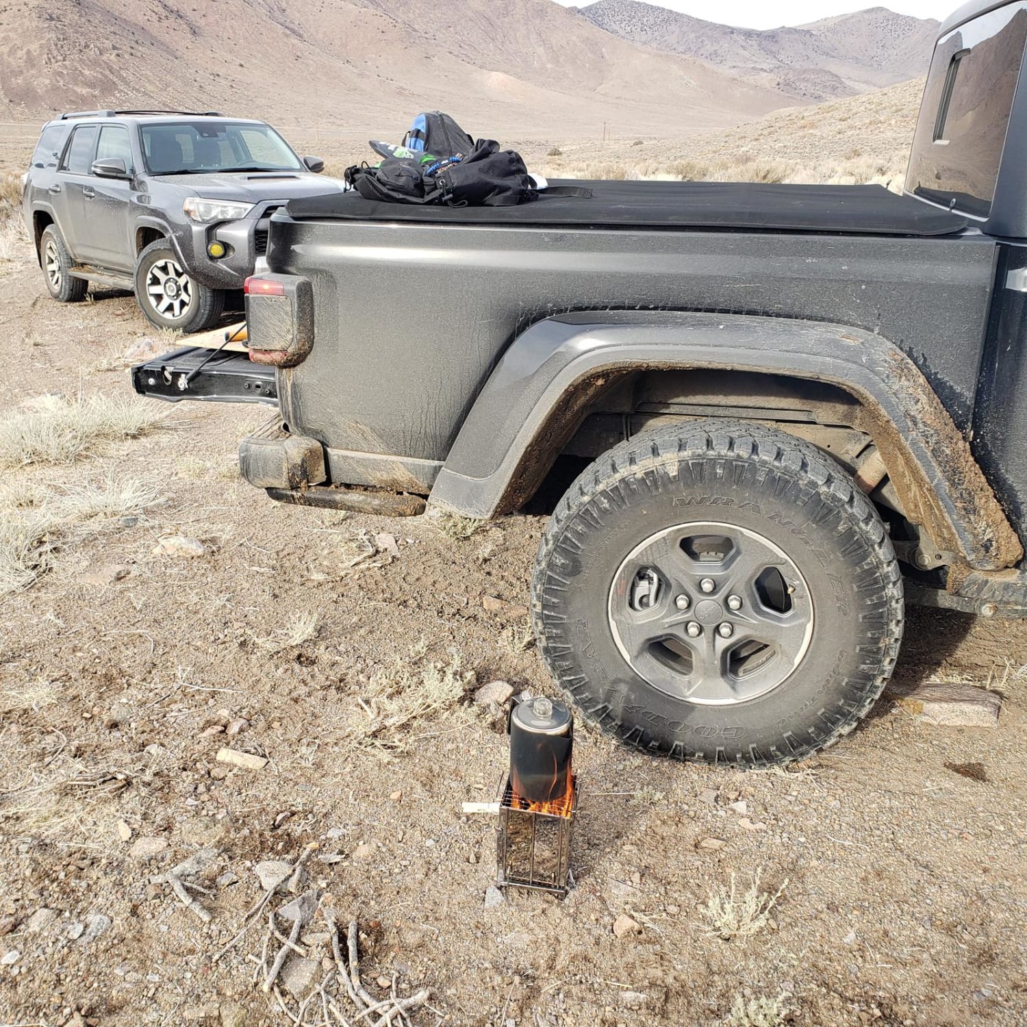
Off-Road Trails in Nevada
Discover off-road trails in Nevada
Learn more about North mud wash 
North mud wash
Total Miles
3.1
Tech Rating
Moderate
Best Time
Spring, Summer, Fall, Winter
Learn more about North Sam's Camp Road
North Sam's Camp Road
Total Miles
3.6
Tech Rating
Easy
Best Time
Spring, Summer, Fall
Learn more about Northwest Nellis Smashed Beetle Point
Northwest Nellis Smashed Beetle Point
Total Miles
3.3
Tech Rating
Moderate
Best Time
Spring, Fall, Winter
Learn more about NV-UT State Line Road 020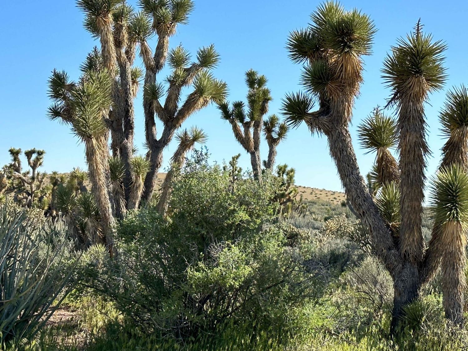
NV-UT State Line Road 020
Total Miles
3.0
Tech Rating
Easy
Best Time
Spring, Summer, Fall
Learn more about Off The Trailer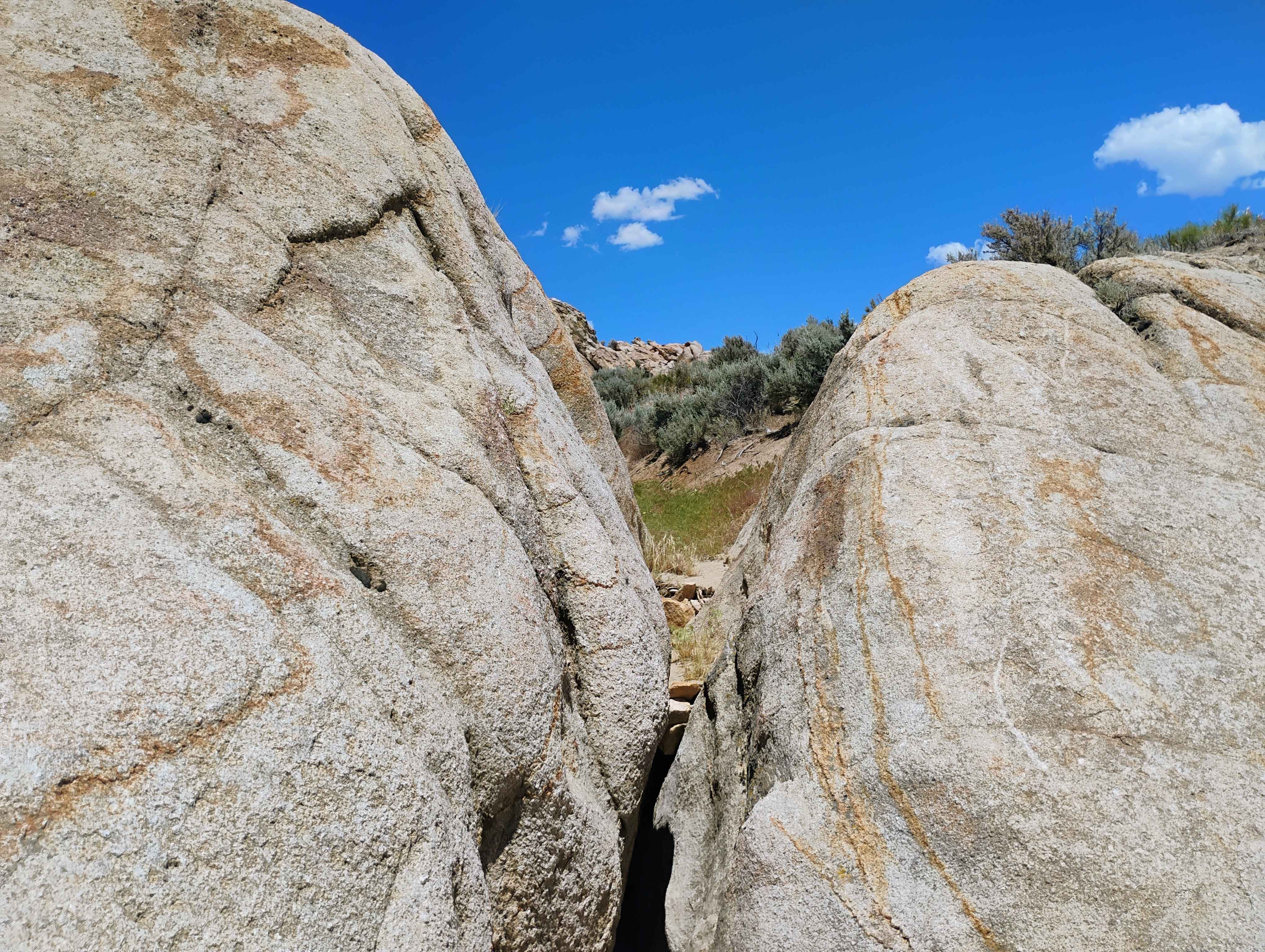
Off The Trailer
Total Miles
1.2
Tech Rating
Easy
Best Time
Winter, Fall, Spring
Learn more about Old Buck Horn Road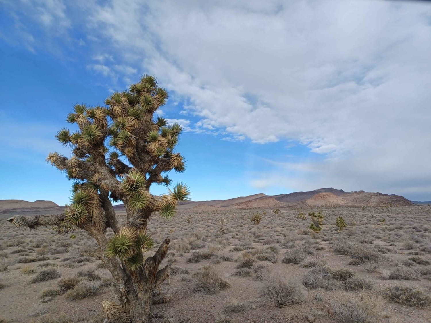
Old Buck Horn Road
Total Miles
8.6
Tech Rating
Easy
Best Time
Spring, Summer, Fall, Winter
Learn more about Old Historic Route 93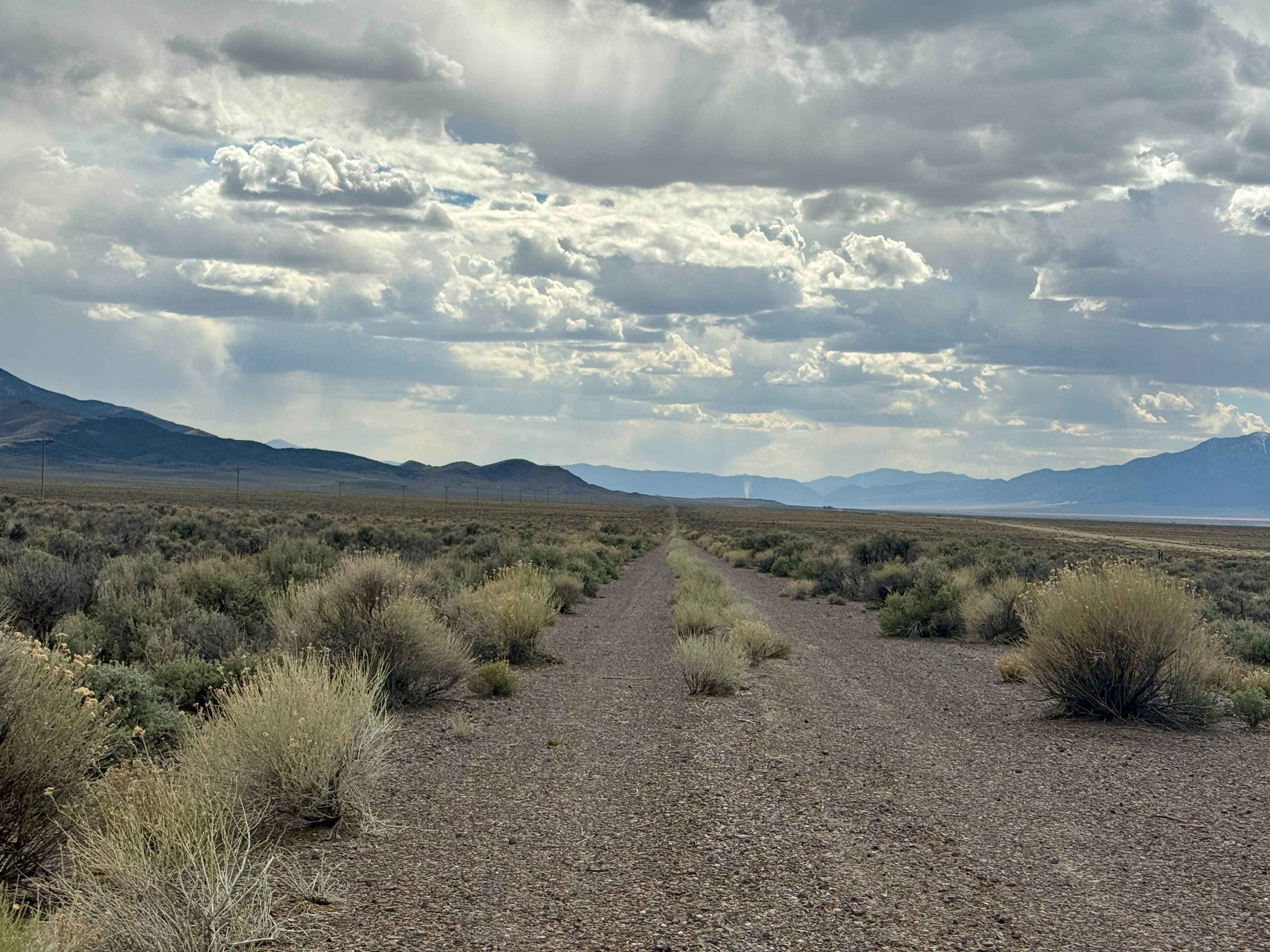
Old Historic Route 93
Total Miles
28.1
Tech Rating
Easy
Best Time
Summer, Winter, Fall, Spring
Learn more about Old Man Canyon / Seven Devils Hot Springs
Old Man Canyon / Seven Devils Hot Springs
Total Miles
14.1
Tech Rating
Moderate
Best Time
Fall, Summer, Spring
Learn more about Old Mormon Wagon Trail (West)
Old Mormon Wagon Trail (West)
Total Miles
14.0
Tech Rating
Easy
Best Time
Spring, Summer, Fall, Winter
Learn more about Old Narrow Gage trail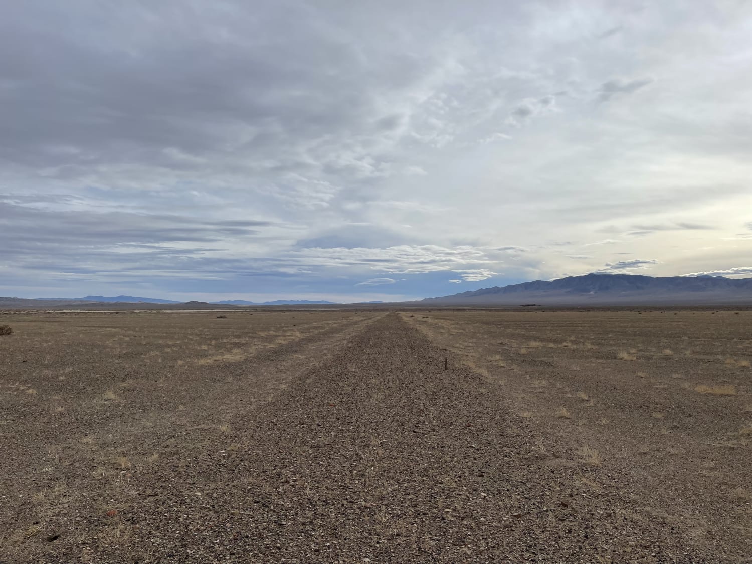
Old Narrow Gage trail
Total Miles
5.9
Tech Rating
Moderate
Best Time
Winter, Fall, Spring
Learn more about Old Railroad Grade Road
Old Railroad Grade Road
Total Miles
4.1
Tech Rating
Easy
Best Time
Winter, Fall, Spring
Learn more about Old Spanish Trail
Old Spanish Trail
Total Miles
6.2
Tech Rating
Easy
Best Time
Spring, Fall, Winter
Learn more about Old Spanish Trail Access
Old Spanish Trail Access
Total Miles
3.8
Tech Rating
Moderate
Best Time
Spring, Fall, Winter
Learn more about Old Stagecoach Road
Old Stagecoach Road
Total Miles
5.1
Tech Rating
Moderate
Best Time
Winter, Fall, Spring
Learn more about Old Two Track Way
Old Two Track Way
Total Miles
2.0
Tech Rating
Easy
Best Time
Summer, Spring, Fall, Winter
Learn more about Once Is Enough
Once Is Enough
Total Miles
0.0
Tech Rating
Difficult
Best Time
Spring, Fall, Winter
Learn more about Opal Mountain Road 
Opal Mountain Road
Total Miles
5.7
Tech Rating
Easy
Best Time
Spring, Summer, Winter, Fall
ATV trails in Nevada
Learn more about "Just Found It" Trail
"Just Found It" Trail
Total Miles
3.4
Tech Rating
Easy
Best Time
Spring, Summer, Fall, Winter
Learn more about 13-Mile Loop
13-Mile Loop
Total Miles
17.4
Tech Rating
Easy
Best Time
Spring, Summer, Fall, Winter
Learn more about 1947 Bunker Trail
1947 Bunker Trail
Total Miles
6.5
Tech Rating
Easy
Best Time
Summer, Fall
Learn more about 265 Camping Crossover
265 Camping Crossover
Total Miles
2.3
Tech Rating
Easy
Best Time
Fall, Spring, Winter
UTV/side-by-side trails in Nevada
Learn more about "Just Found It" Trail
"Just Found It" Trail
Total Miles
3.4
Tech Rating
Easy
Best Time
Spring, Summer, Fall, Winter
Learn more about 13-Mile Loop
13-Mile Loop
Total Miles
17.4
Tech Rating
Easy
Best Time
Spring, Summer, Fall, Winter
Learn more about 1947 Bunker Trail
1947 Bunker Trail
Total Miles
6.5
Tech Rating
Easy
Best Time
Summer, Fall
Learn more about 265 Camping Crossover
265 Camping Crossover
Total Miles
2.3
Tech Rating
Easy
Best Time
Fall, Spring, Winter
The onX Offroad Difference
onX Offroad combines trail photos, descriptions, difficulty ratings, width restrictions, seasonality, and more in a user-friendly interface. Available on all devices, with offline access and full compatibility with CarPlay and Android Auto. Discover what you’re missing today!