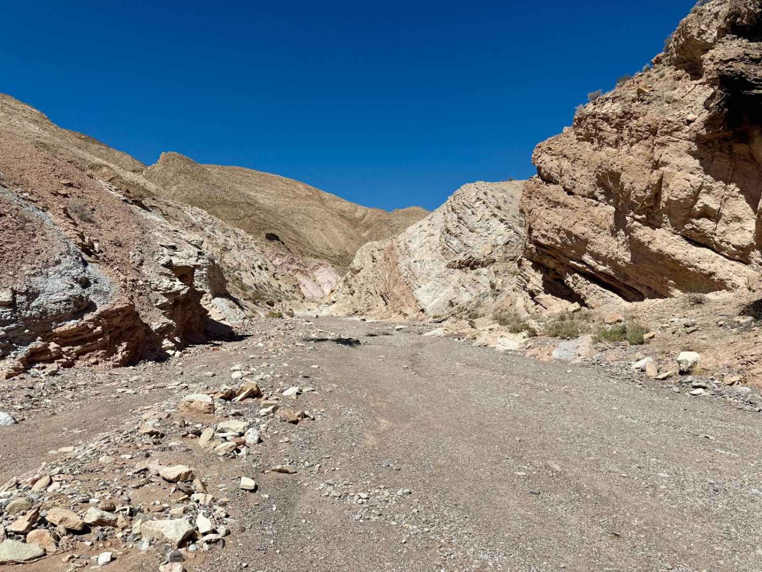
Off-Road Trails in Nevada
Discover off-road trails in Nevada
Learn more about Little Boulder
Little Boulder
Total Miles
19.5
Tech Rating
Easy
Best Time
Spring, Summer, Fall
Learn more about Little Devil Peak
Little Devil Peak
Total Miles
12.2
Tech Rating
Moderate
Best Time
Spring, Summer, Fall, Winter
Learn more about Little High Rock Canyon
Little High Rock Canyon
Total Miles
34.2
Tech Rating
Easy
Best Time
Spring, Summer, Fall
Learn more about Little High Rock to Steven's Camp Back Door
Little High Rock to Steven's Camp Back Door
Total Miles
23.2
Tech Rating
Easy
Best Time
Spring
Learn more about Lodi Hill Nevada
Lodi Hill Nevada
Total Miles
13.1
Tech Rating
Moderate
Best Time
Spring, Summer, Fall
Learn more about Logan House Loop 14n33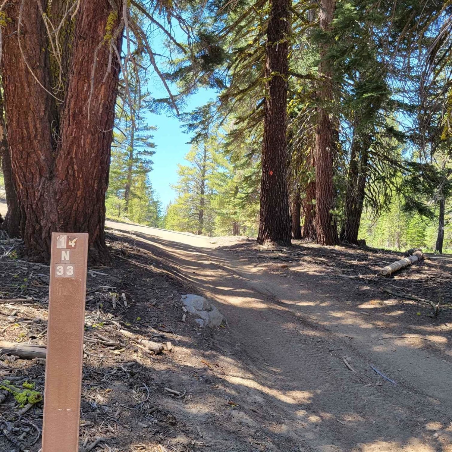
Logan House Loop 14n33
Total Miles
8.6
Tech Rating
Easy
Best Time
Summer, Fall
Learn more about Logandale Main Loop 01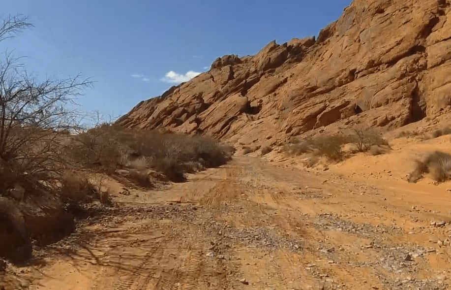
Logandale Main Loop 01
Total Miles
2.6
Tech Rating
Easy
Best Time
Spring, Fall, Winter
Learn more about Logandale OHV - Trail 2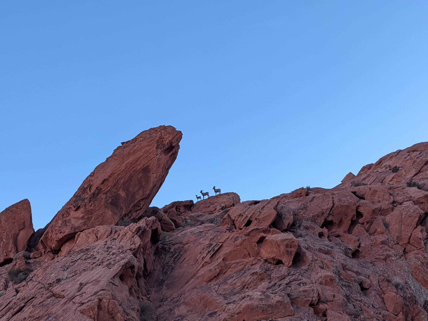
Logandale OHV - Trail 2
Total Miles
6.6
Tech Rating
Moderate
Best Time
Spring, Fall, Winter
Learn more about Lone Pine Canyon Road - BLM P-12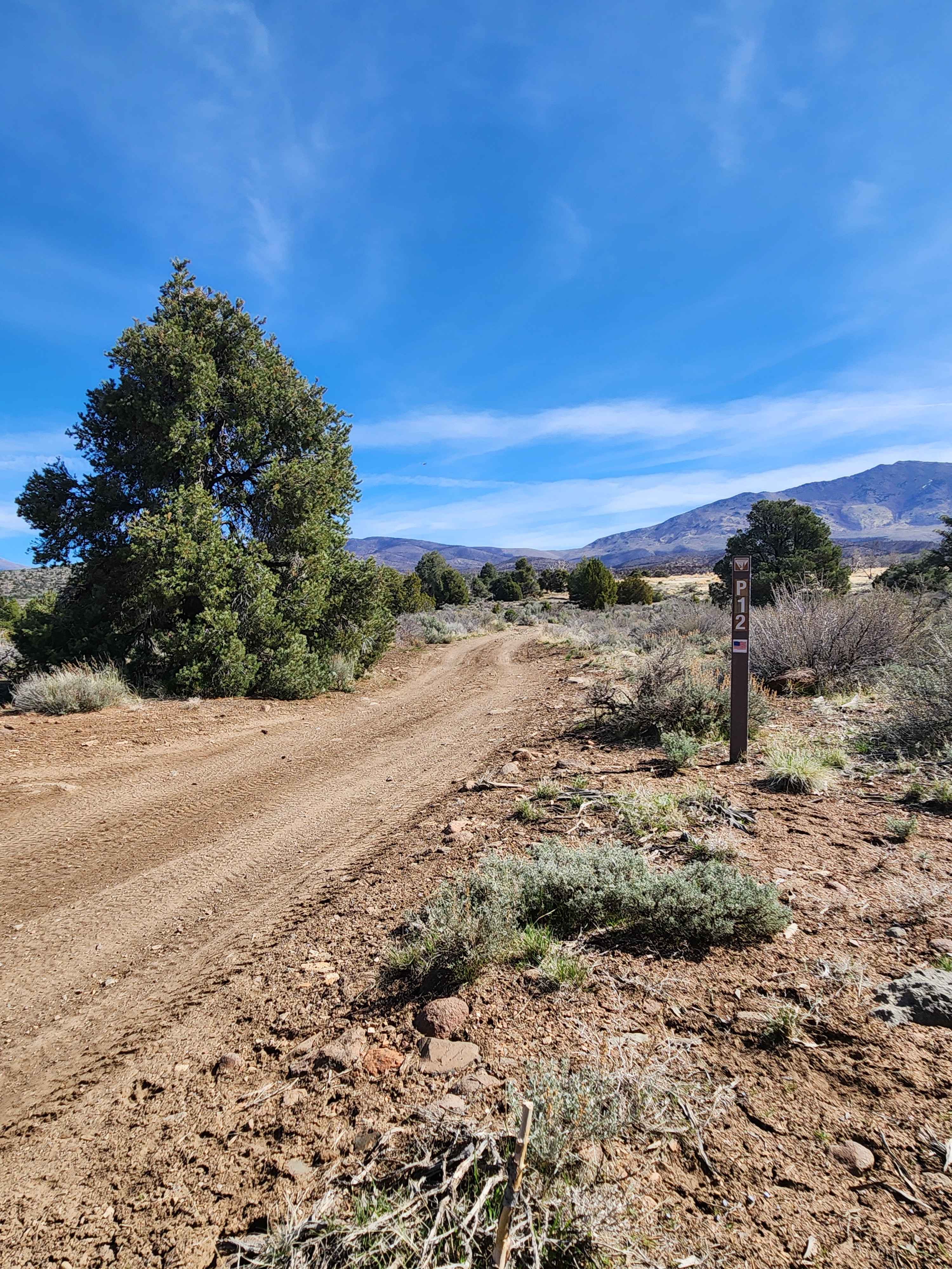
Lone Pine Canyon Road - BLM P-12
Total Miles
6.2
Tech Rating
Moderate
Best Time
Summer, Fall
Learn more about Long Canyon and Devil's Gate
Long Canyon and Devil's Gate
Total Miles
12.2
Tech Rating
Moderate
Best Time
Spring, Summer, Fall, Winter
Learn more about Loop Boundary Road
Loop Boundary Road
Total Miles
3.3
Tech Rating
Moderate
Best Time
Spring, Summer, Fall, Winter
Learn more about Loop Powerline Road
Loop Powerline Road
Total Miles
9.9
Tech Rating
Moderate
Best Time
Spring, Summer, Fall, Winter
Learn more about Lovell Wash Road
Lovell Wash Road
Total Miles
8.0
Tech Rating
Easy
Best Time
Spring, Summer, Fall, Winter
Learn more about Lovelock Cave 
Lovelock Cave
Total Miles
9.4
Tech Rating
Easy
Best Time
Fall, Summer, Spring
Learn more about Lowboy Mine - FS 43251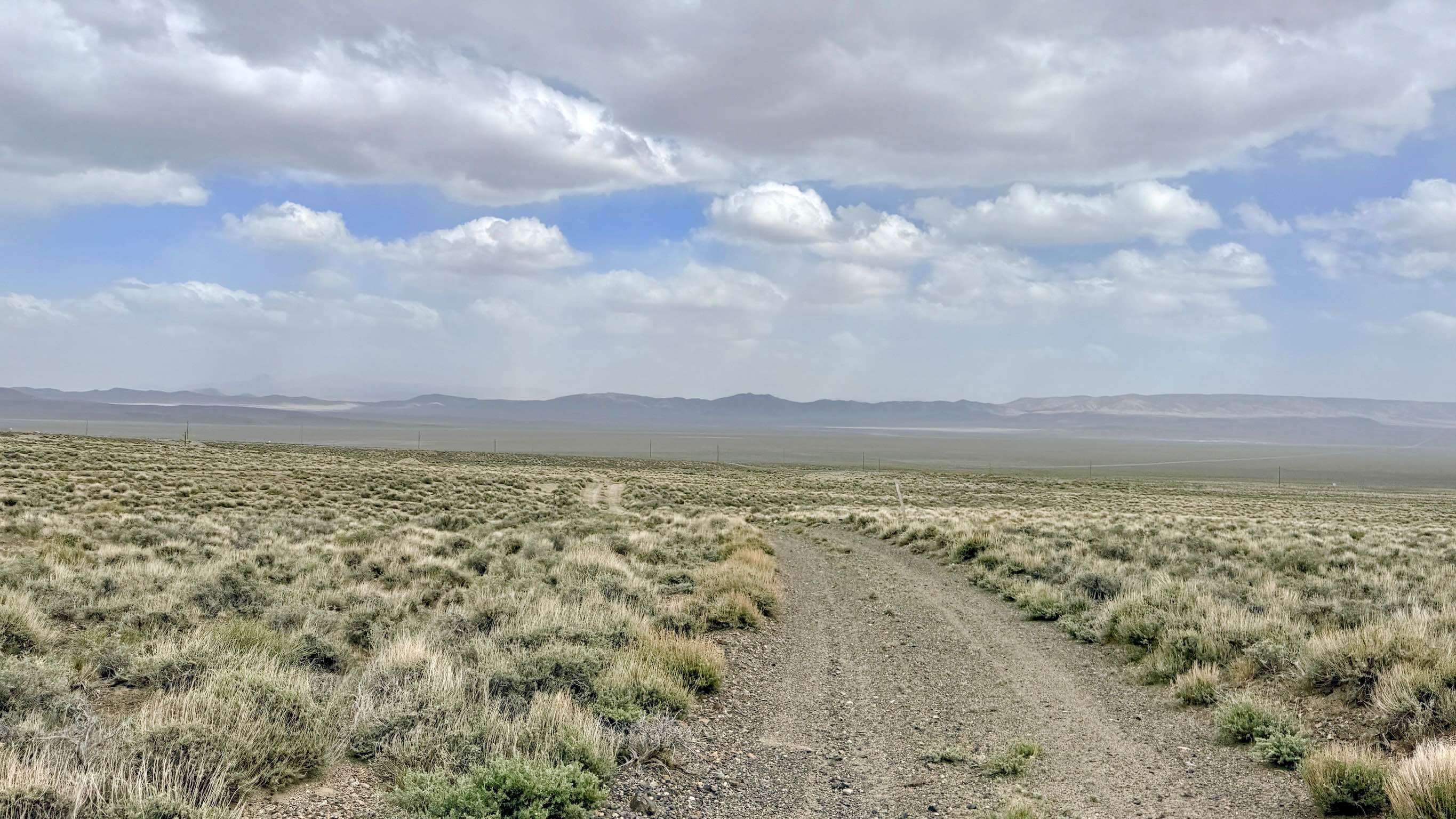
Lowboy Mine - FS 43251
Total Miles
2.5
Tech Rating
Easy
Best Time
Spring, Summer, Fall
Learn more about Lowboy Mine Spur A - FS 43251A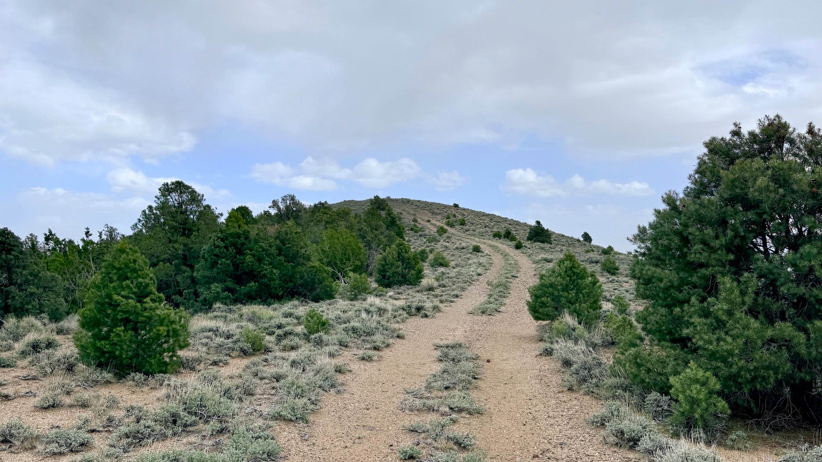
Lowboy Mine Spur A - FS 43251A
Total Miles
1.2
Tech Rating
Easy
Best Time
Spring, Summer, Fall
Learn more about Lower Canyon Cutover Trail - BLM 288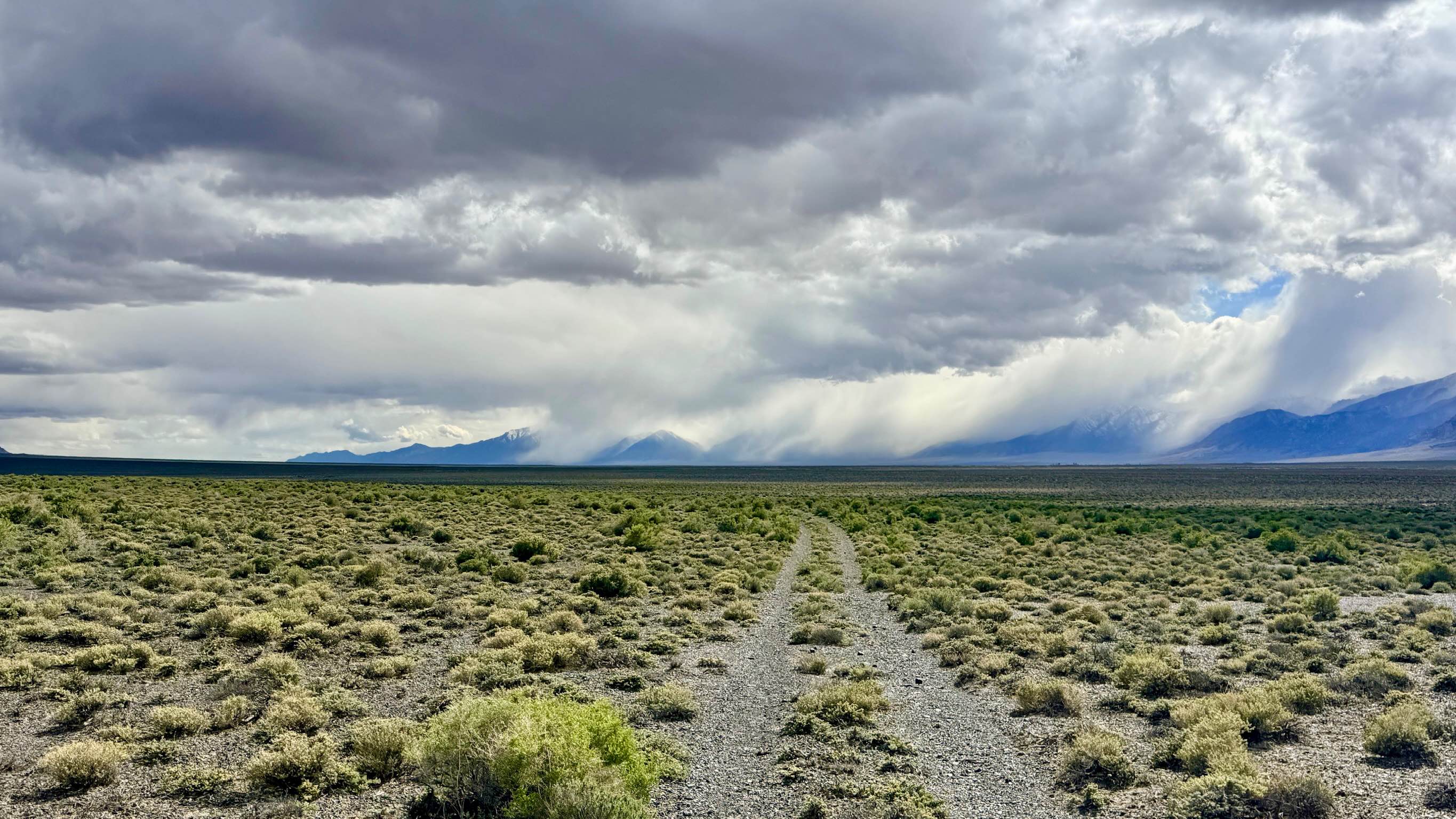
Lower Canyon Cutover Trail - BLM 288
Total Miles
6.7
Tech Rating
Easy
Best Time
Spring, Summer, Fall
Learn more about Lower Kingsbury Stinger Alternate - FS 18E46
Lower Kingsbury Stinger Alternate - FS 18E46
Total Miles
1.7
Tech Rating
Easy
Best Time
Summer, Fall
ATV trails in Nevada
Learn more about "Just Found It" Trail
"Just Found It" Trail
Total Miles
3.4
Tech Rating
Easy
Best Time
Spring, Summer, Fall, Winter
Learn more about 13-Mile Loop
13-Mile Loop
Total Miles
17.4
Tech Rating
Easy
Best Time
Spring, Summer, Fall, Winter
Learn more about 1947 Bunker Trail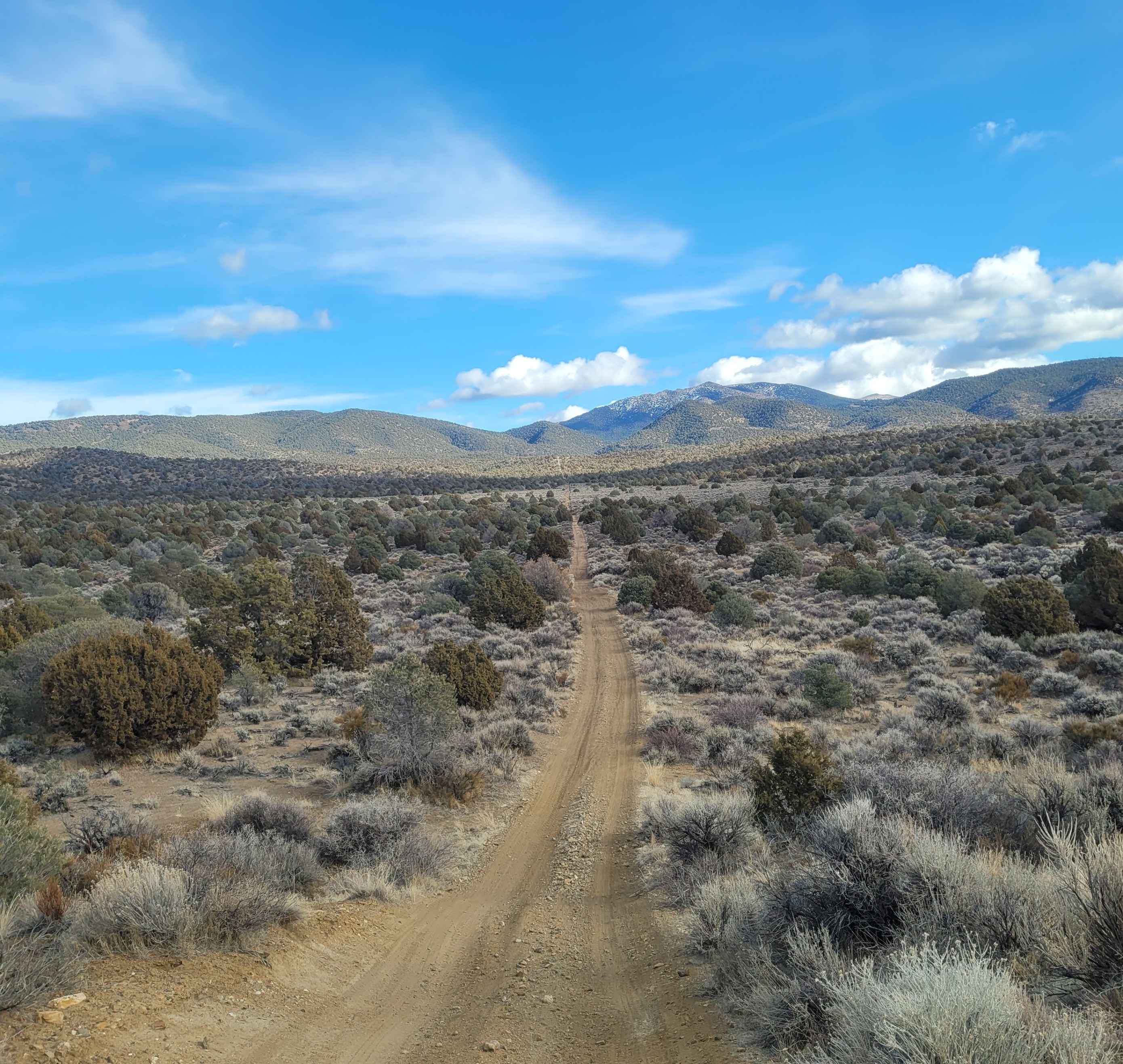
1947 Bunker Trail
Total Miles
6.5
Tech Rating
Easy
Best Time
Summer, Fall
Learn more about 265 Camping Crossover
265 Camping Crossover
Total Miles
2.3
Tech Rating
Easy
Best Time
Fall, Spring, Winter
UTV/side-by-side trails in Nevada
Learn more about "Just Found It" Trail
"Just Found It" Trail
Total Miles
3.4
Tech Rating
Easy
Best Time
Spring, Summer, Fall, Winter
Learn more about 13-Mile Loop
13-Mile Loop
Total Miles
17.4
Tech Rating
Easy
Best Time
Spring, Summer, Fall, Winter
Learn more about 1947 Bunker Trail
1947 Bunker Trail
Total Miles
6.5
Tech Rating
Easy
Best Time
Summer, Fall
Learn more about 265 Camping Crossover
265 Camping Crossover
Total Miles
2.3
Tech Rating
Easy
Best Time
Fall, Spring, Winter
The onX Offroad Difference
onX Offroad combines trail photos, descriptions, difficulty ratings, width restrictions, seasonality, and more in a user-friendly interface. Available on all devices, with offline access and full compatibility with CarPlay and Android Auto. Discover what you’re missing today!