Nellis Bypass to Vegas View Ridge
Total Miles
1.9
Technical Rating
Best Time
Spring, Fall, Winter
Trail Type
Full-Width Road
Accessible By
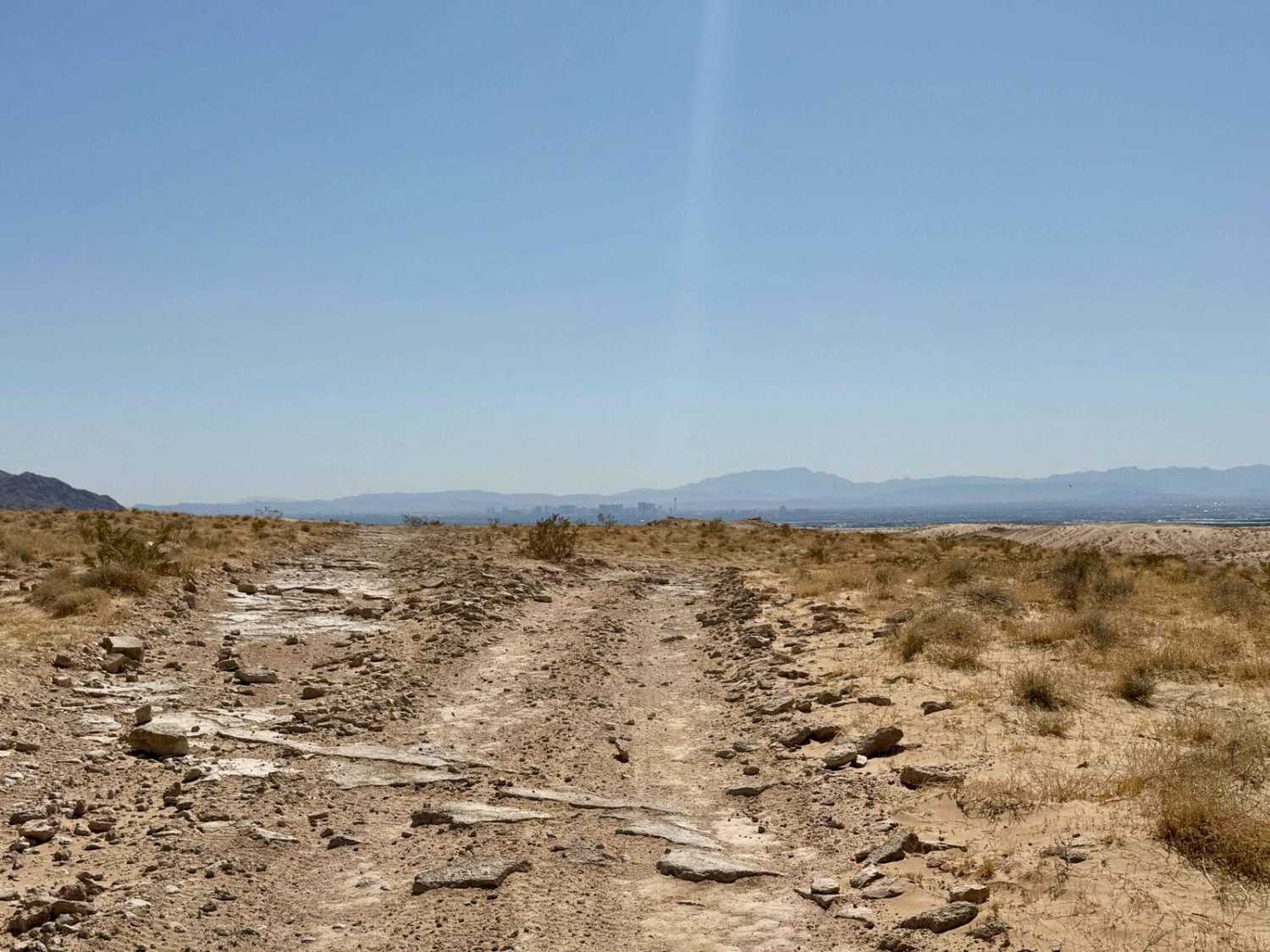
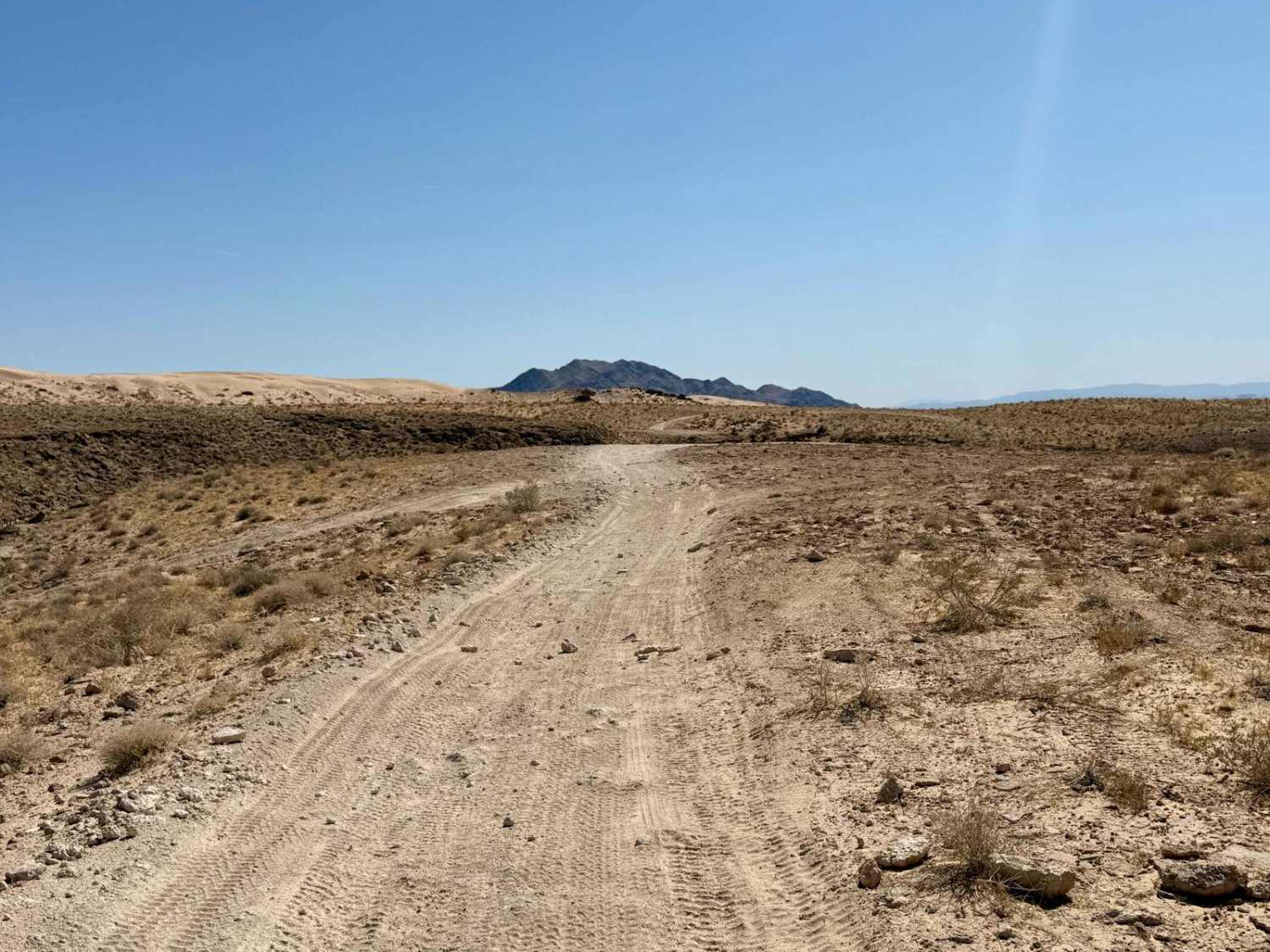
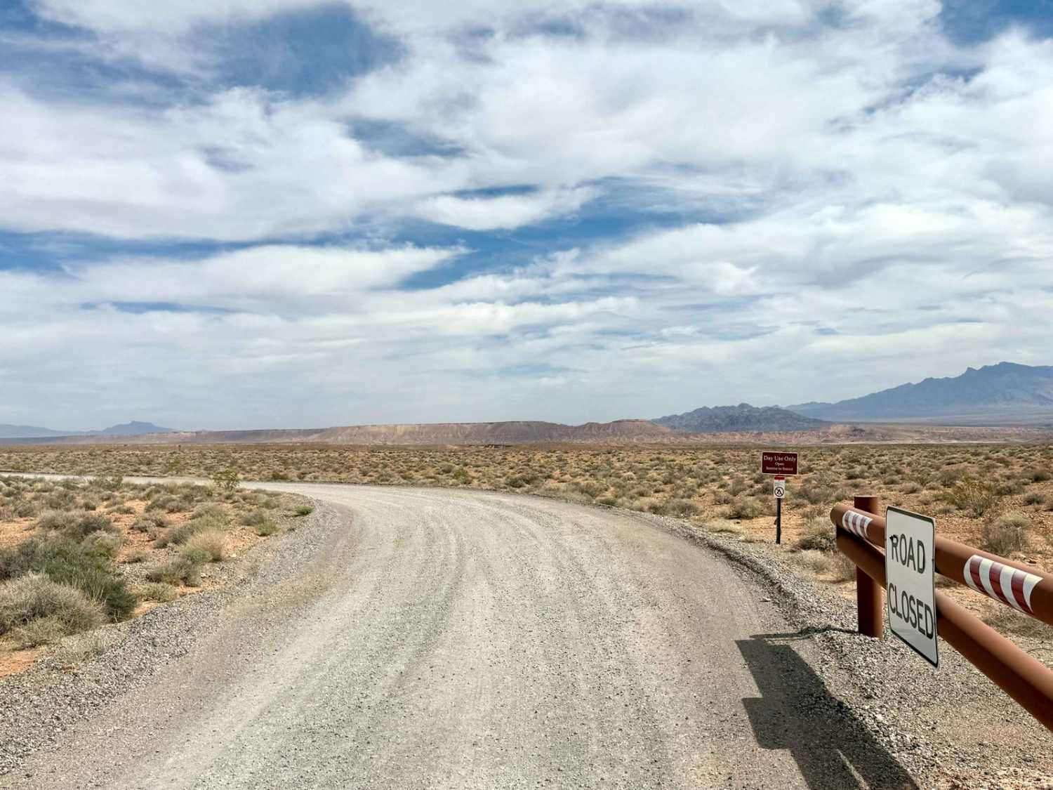
Trail Overview
The Nellis Bypass to Vegas View Ridge is an adventurous and scenic trail that weaves through rocky ridgelines and picturesque canyons. This route offers a balanced mix of challenging rocky sections alongside easier stretches, providing a "choose your own adventure" experience that caters to various skill levels. Throughout the trail, you'll encounter a few short steep climbs and descents, making it an exciting journey as you navigate the diverse terrain. The abundance of rocks adds an element of challenge while also enhancing the landscape's rugged beauty. This trail serves as a fantastic connection between the sandy dunes area and the Nellis Bypass, making it a great option for explorers seeking to traverse the region. As you move along this route, you'll be rewarded with stunning views of the surrounding canyons and ridges, creating a beautiful backdrop to your adventure. The trail is well-suited for those looking for a moderate challenge mixed with captivating sights. Important Note: Expect to experience three bars of Verizon LTE service that may fade in and out depending on your proximity to the city. Be sure to download your offline maps before setting out, as this area can have fluctuating connectivity. As always in desert conditions, come well-prepared with plenty of water and supplies to ensure a safe and enjoyable ride.
Photos of Nellis Bypass to Vegas View Ridge
Difficulty
This trail is rated a 3, reflecting its mix of rocky terrain and navigational challenges. It also offers easier sections for a wide range of off-road vehicles. You will come across steep, loose hill climbs, descents, and some sandy sections. There will also be the occasional boulder to work around.
Status Reports
Nellis Bypass to Vegas View Ridge can be accessed by the following ride types:
- High-Clearance 4x4
- SUV
- SxS (60")
- ATV (50")
- Dirt Bike
Nellis Bypass to Vegas View Ridge Map
Popular Trails
Veatch Canyon Road - FS 43233

Hot Springs Mountains
St. Thomas Cove
The onX Offroad Difference
onX Offroad combines trail photos, descriptions, difficulty ratings, width restrictions, seasonality, and more in a user-friendly interface. Available on all devices, with offline access and full compatibility with CarPlay and Android Auto. Discover what you’re missing today!