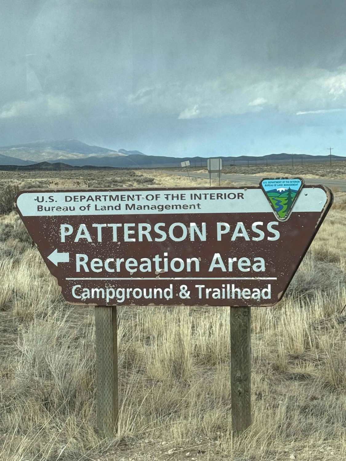
Patterson Pass
Total Miles
24.0
Technical Rating
Best Time
Fall
Trail Type
Full-Width Road
Accessible By
Trail Overview
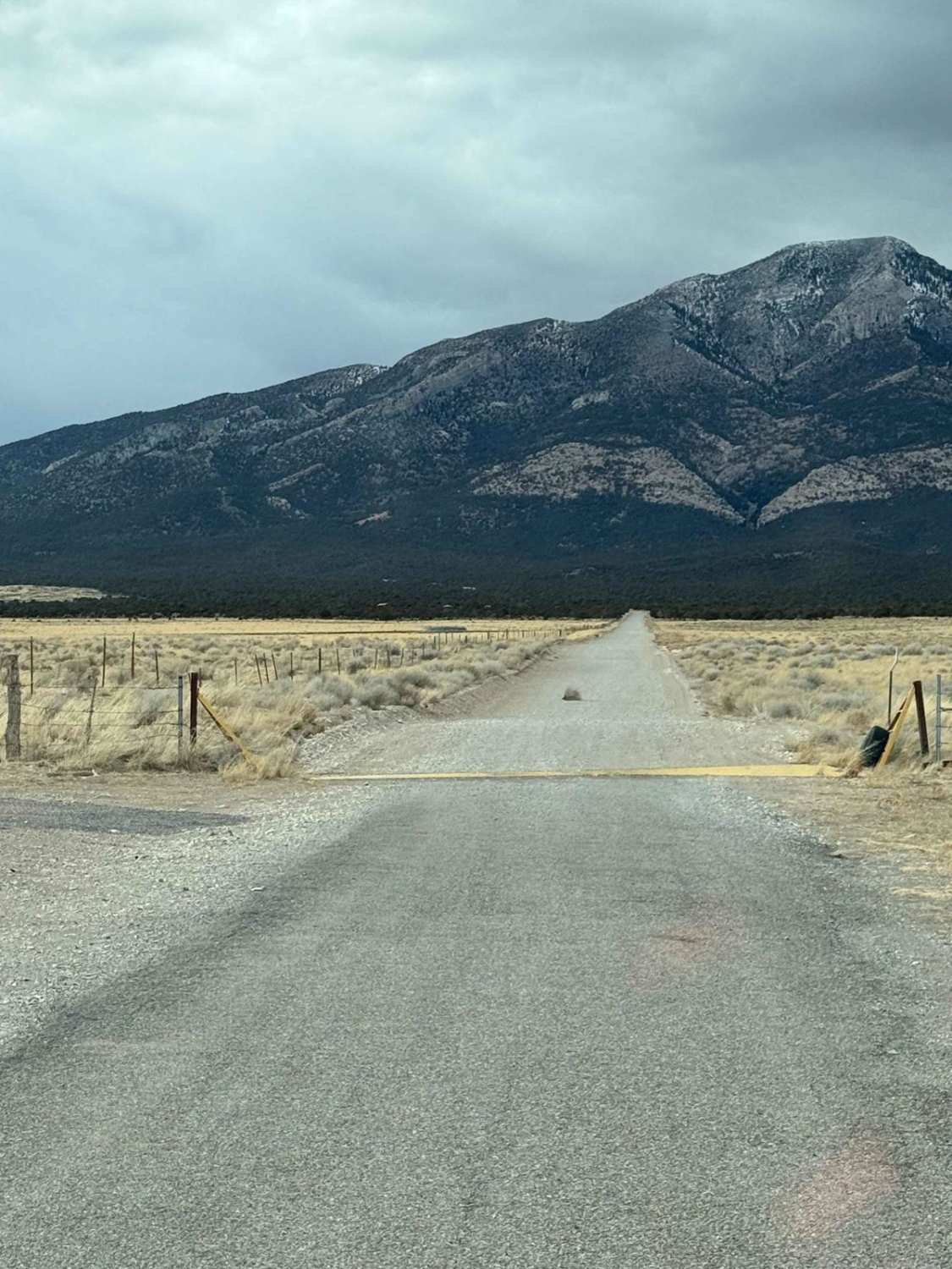
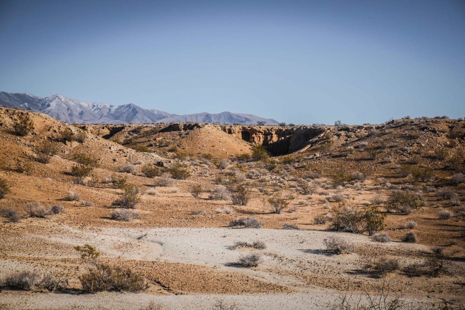
Traveling westward over Patterson Pass in Nevada from Highway 93 to State Road 318 is a journey through a rugged and remote landscape, where the vastness of the high desert unfolds in every direction. The road, a mix of gravel and dirt, winds through arid hills and rocky outcrops, with sparse vegetation consisting of sagebrush, juniper, and scattered Joshua trees. The terrain is undulating, with steep inclines and sharp descents, offering panoramic views of the surrounding valleys and distant mountain ranges. Please note... conditions can vary significantly--dusty and dry in the summer, potentially muddy or even impassable after heavy rain or snow. Washouts and ruts are common, requiring high clearance and four-wheel drive in certain sections. Wildlife, such as deer, coyotes, and wild horses, may cross the road unexpectedly. Remote and isolated, this route offers a true off-the-grid experience, rewarding travelers with breathtaking solitude and a sense of untamed Nevada wilderness.
Photos of Patterson Pass
Difficulty
This is an enjoyable desert mountain pass that isn't too difficult on most days. The difficulty really depends on the time of year and weather conditions. In cold and dry conditions it would seem to be the easiest, and as long as it's dry, you really only run the risk of dust, ruts, and sandy areas. Once there is rain or snow in the equation, it can become slippery and difficult quickly. Just be advised to use caution and watch the forecast so you can make a good plan. Remember you are an hour from Ely, NV where you can get help or amenities.
History
Patterson Pass, located in Lincoln County, Nevada, stands at an elevation of 7,414 feet (2,260 meters) within the Schell Creek Range. This mountain pass has a rich history intertwined with Nevada's mining heritage. The area gained attention around 1869 with the discovery of rich silver ores, leading to the establishment of the Patterson mining district. This discovery sparked a flurry of mining activity; however, the initial boom was short-lived, with only minor, unrecorded production. In the early 20th century, the Lake Valley Mining Company operated in the region, shipping siliceous silver ore from local mines between 1920 and 1921. They also constructed a 50-ton cyanidization plant, which produced silver from 1922 to 1925. The district saw intermittent mining activity over the years, including tungsten ore production during World War II. Despite these efforts, overall production remained modest. While the bustling mining camps have long faded, Patterson Pass remains a testament to Nevada's rich mining history and offers visitors a glimpse into the past amidst the state's natural beauty.
Status Reports
Patterson Pass can be accessed by the following ride types:
- High-Clearance 4x4
- SUV
- SxS (60")
- ATV (50")
- Dirt Bike
Patterson Pass Map
Popular Trails
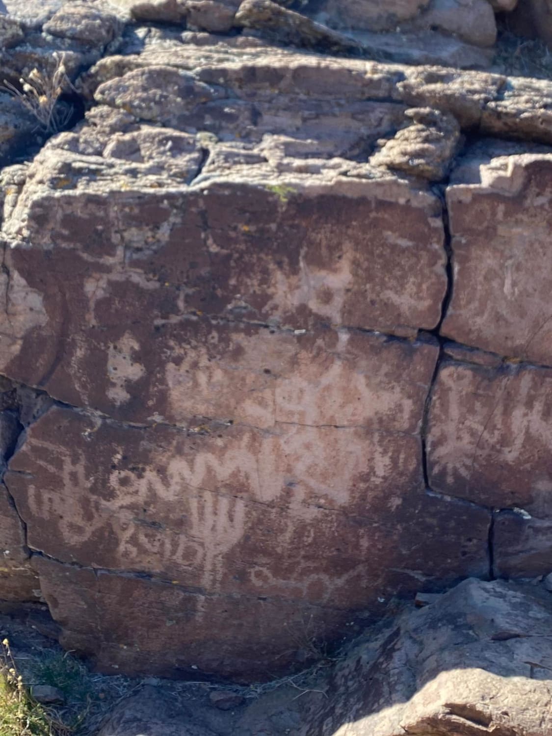
Spanish Springs Petroglyphs
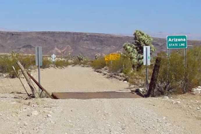
St. Thomas Gap Road-Mohave County Highway 113

Lake Mead - Part 1
The onX Offroad Difference
onX Offroad combines trail photos, descriptions, difficulty ratings, width restrictions, seasonality, and more in a user-friendly interface. Available on all devices, with offline access and full compatibility with CarPlay and Android Auto. Discover what you’re missing today!