Nellis Bypass West
Total Miles
2.9
Technical Rating
Best Time
Spring, Fall, Winter
Trail Type
Full-Width Road
Accessible By
Trail Overview
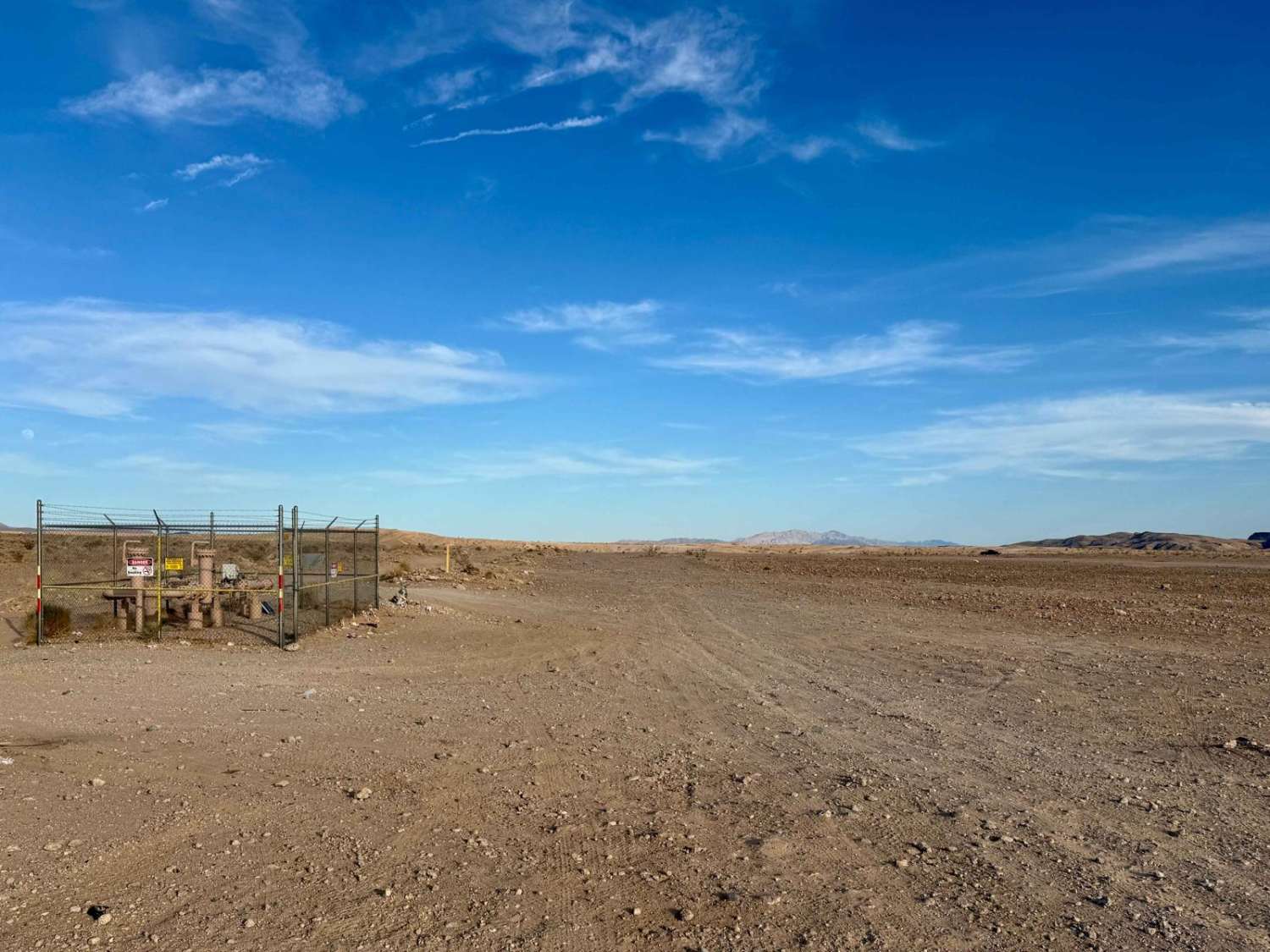
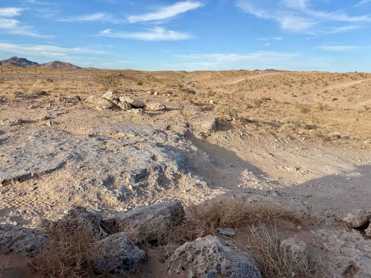
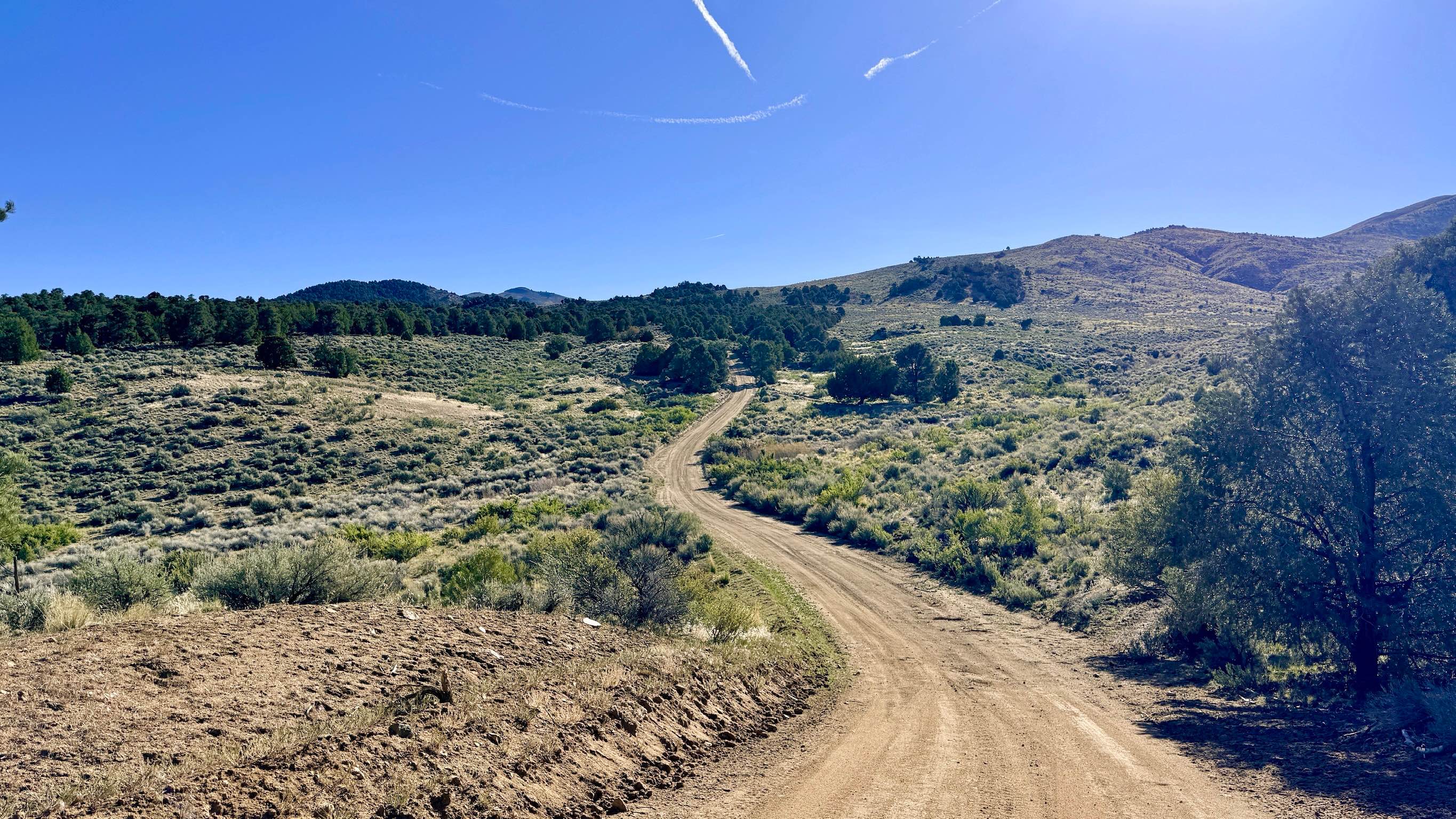
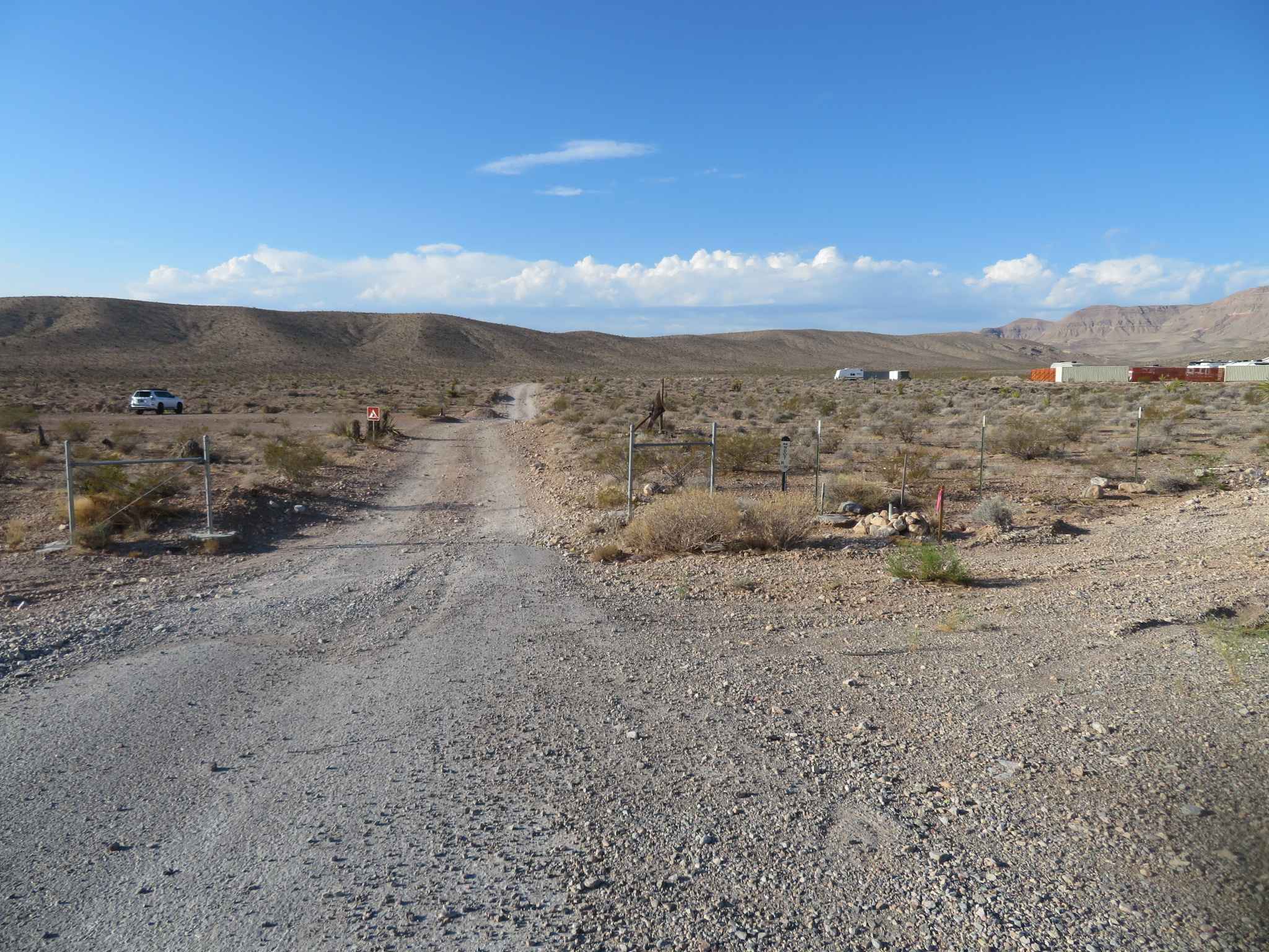
Nellis Bypass West is the main route from the staging area off the highway into the OHV area and the expansive sand dunes. As you approach the entrance, it becomes clear where you are, thanks to the presence of sand dune tour companies operating nearby most days, adding a lively atmosphere to the area. This trail offers a "choose your own adventure" experience, with up to four or five different routes available. You'll find yourself spending time determining which path presents the smallest whoops, with many riders discovering that the route with softer sand often provides a more comfortable ride. Upon reaching the dunes area, you'll notice the sand is soft, and it's essential to air down your tires for optimal handling. As you navigate through the dunes, choose your route carefully--while the sand is soft, aiming for the nearby yellow gas post at the top of the hill can help guide you through with more confidence. After passing the dunes, the trail becomes rough and rocky, featuring steep climbs and descents that will keep the excitement alive. The portion of the trail after the recording appears to pass through the base; however, you'll encounter a "no motor vehicles allowed" sign on the other side, indicating that access through the base may not be permitted. Important Note: Expect around three bars of LTE service that may fade in and out, so be sure to download your offline maps before heading out for your adventure. It's vital to come prepared for desert conditions, ensuring you have plenty of water and supplies as you explore this exciting area.
Photos of Nellis Bypass West
Difficulty
Rated at a 4, this trail features steep climbs, rocky segments, and soft sand conditions requiring careful navigation and attention to detail.
Status Reports
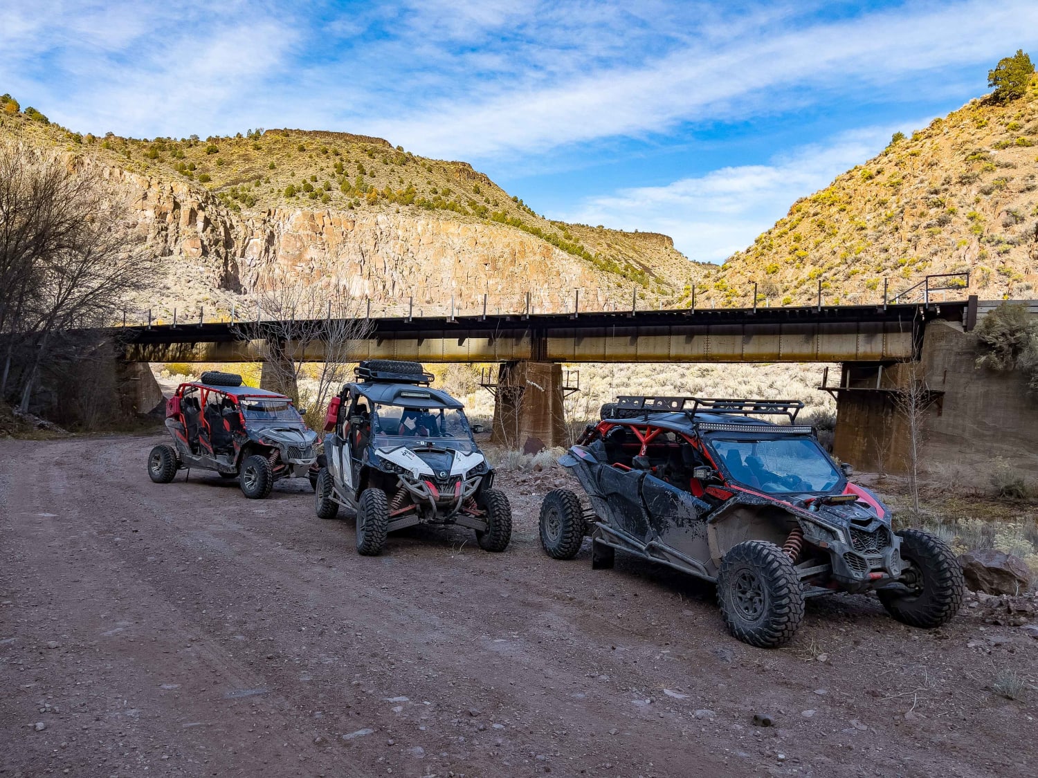
Nellis Bypass West can be accessed by the following ride types:
- High-Clearance 4x4
- SUV
- SxS (60")
- ATV (50")
- Dirt Bike
Nellis Bypass West Map
Popular Trails
Moapa to Caliente Via Barclay
Jumbo Mine Ruins
Crow Canyon - FS 43242
Blue Diamond BLM Trail Access
The onX Offroad Difference
onX Offroad combines trail photos, descriptions, difficulty ratings, width restrictions, seasonality, and more in a user-friendly interface. Available on all devices, with offline access and full compatibility with CarPlay and Android Auto. Discover what you’re missing today!