Blue Diamond BLM Trail Access
Total Miles
2.2
Technical Rating
Best Time
Spring, Fall, Winter
Trail Type
Full-Width Road
Accessible By
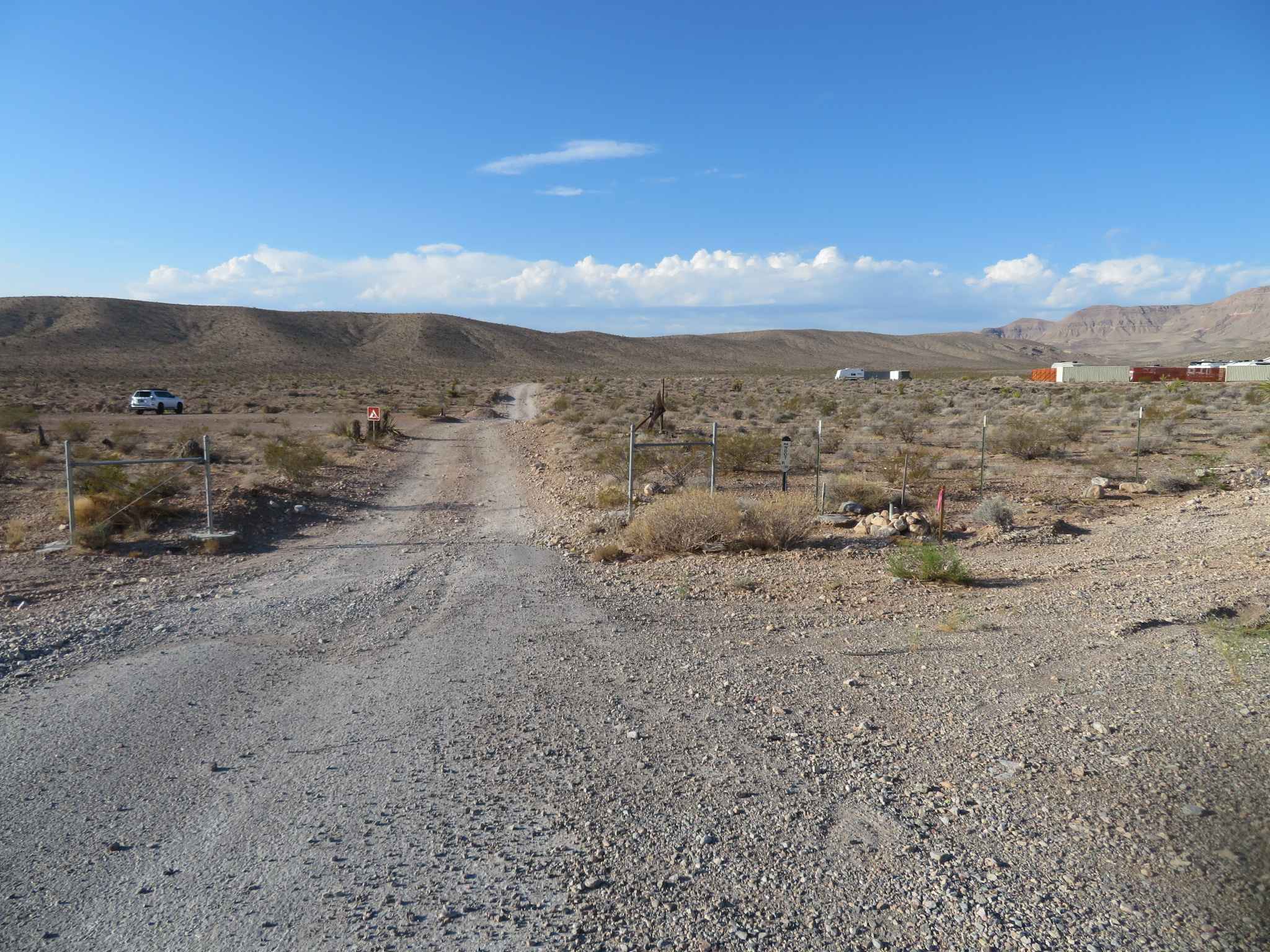
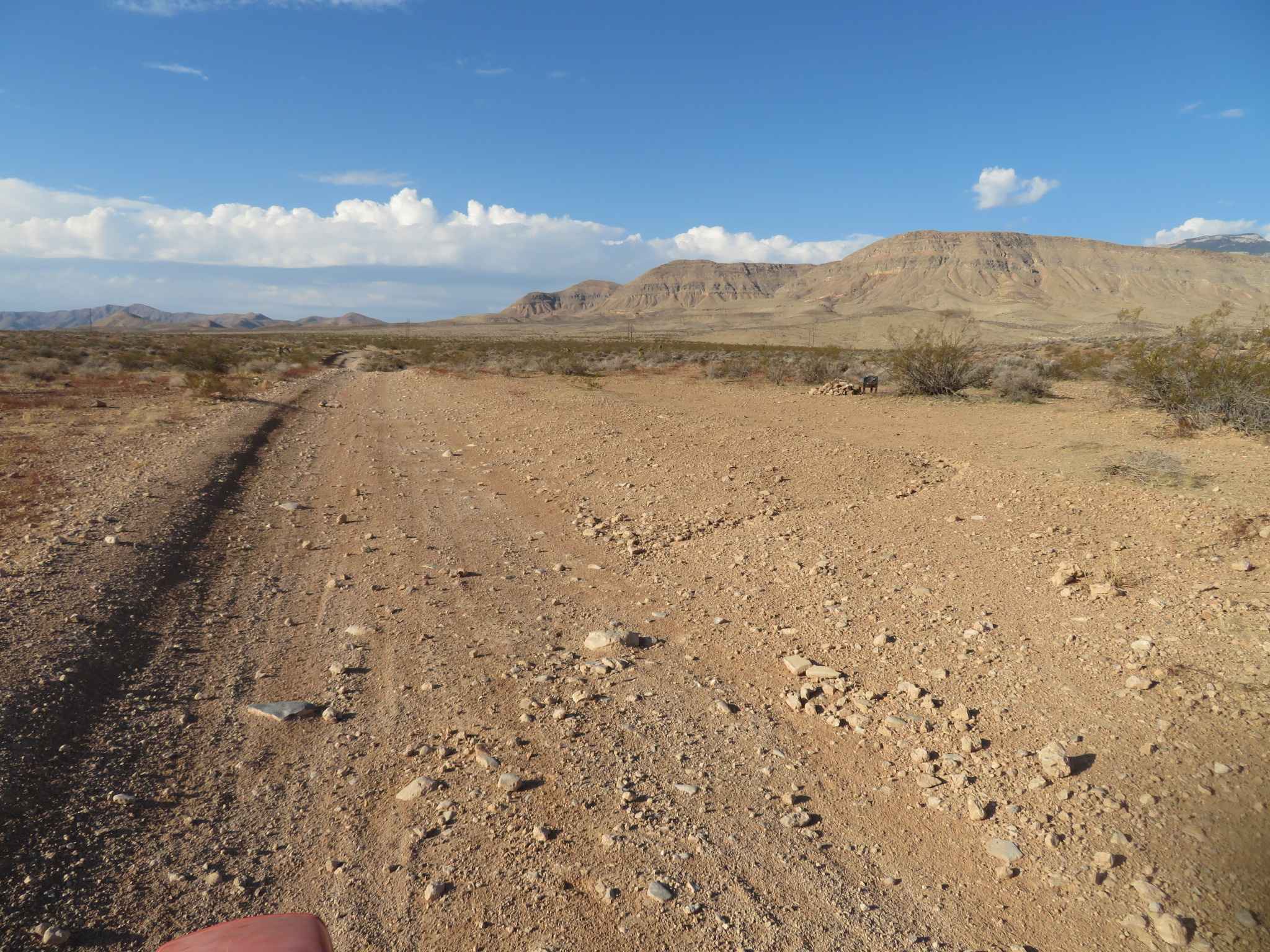
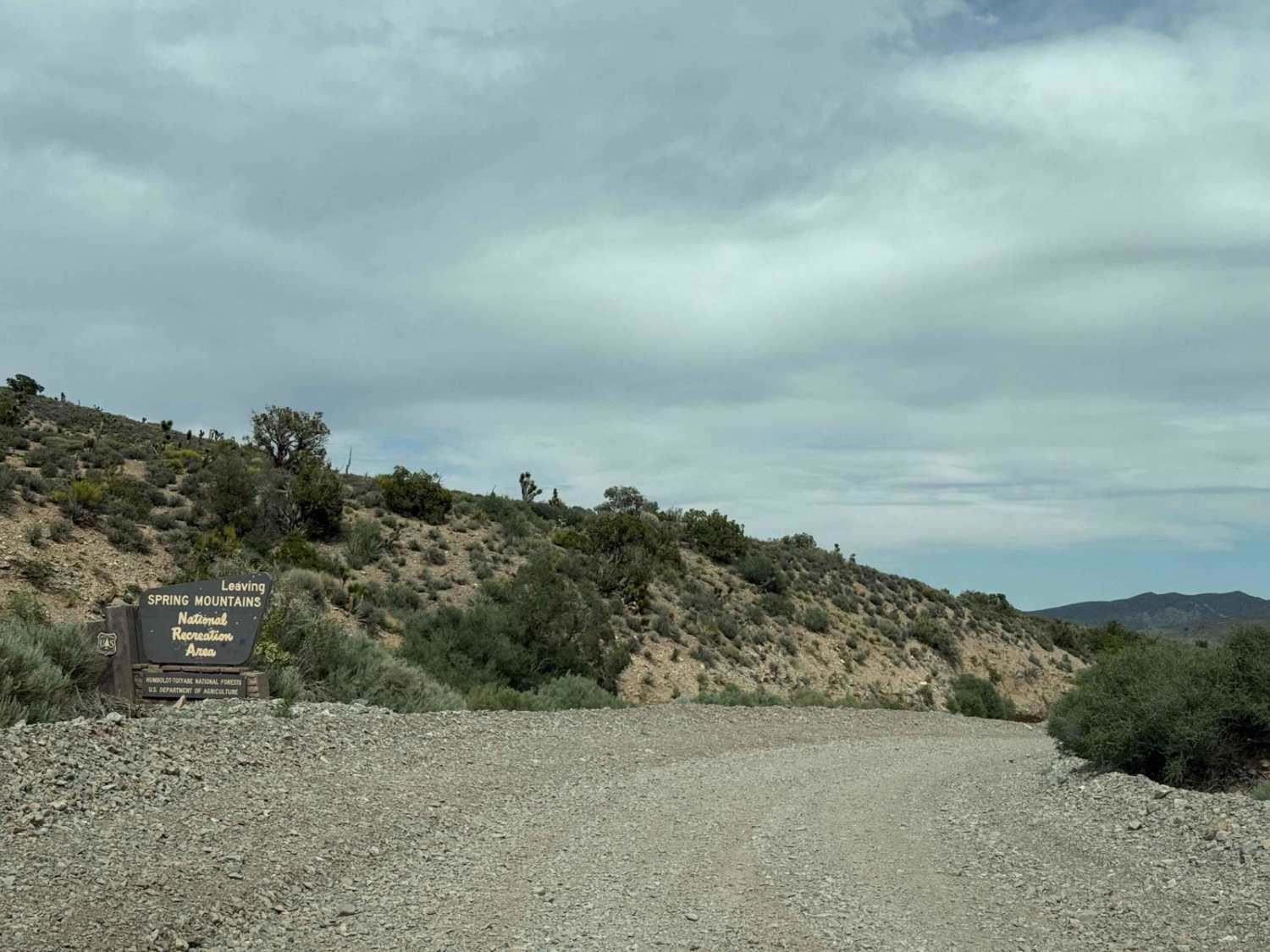
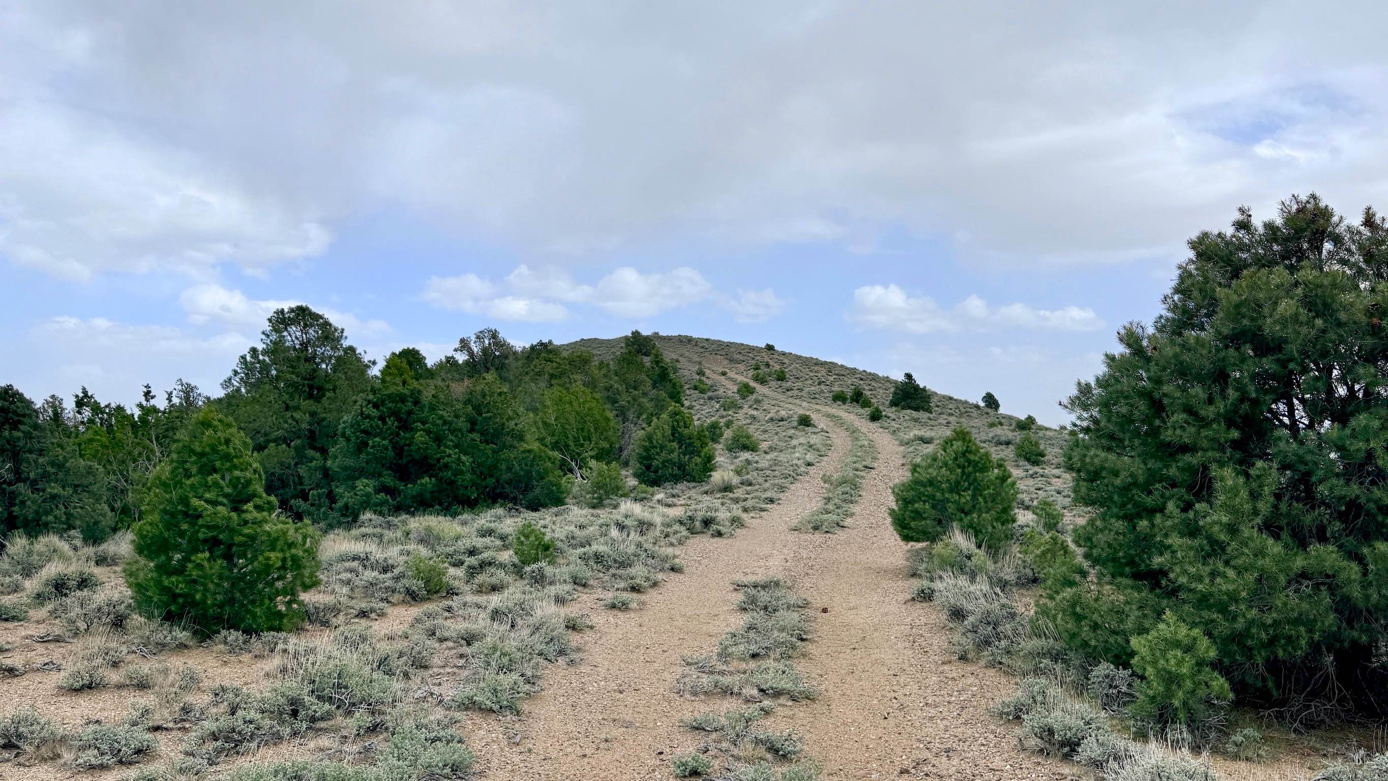
Trail Overview
This trail provides access to Bureau of Land Management lands and connects to Red Rock Conservation Area, Cottonwood Pass, Goodsprings, and other areas of the Nevada desert southwest of Las Vegas. High-clearance vehicles are strongly recommended, with four-wheel drive and low range often useful. Two-wheel drive and low-clearance vehicles are NOT recommended.
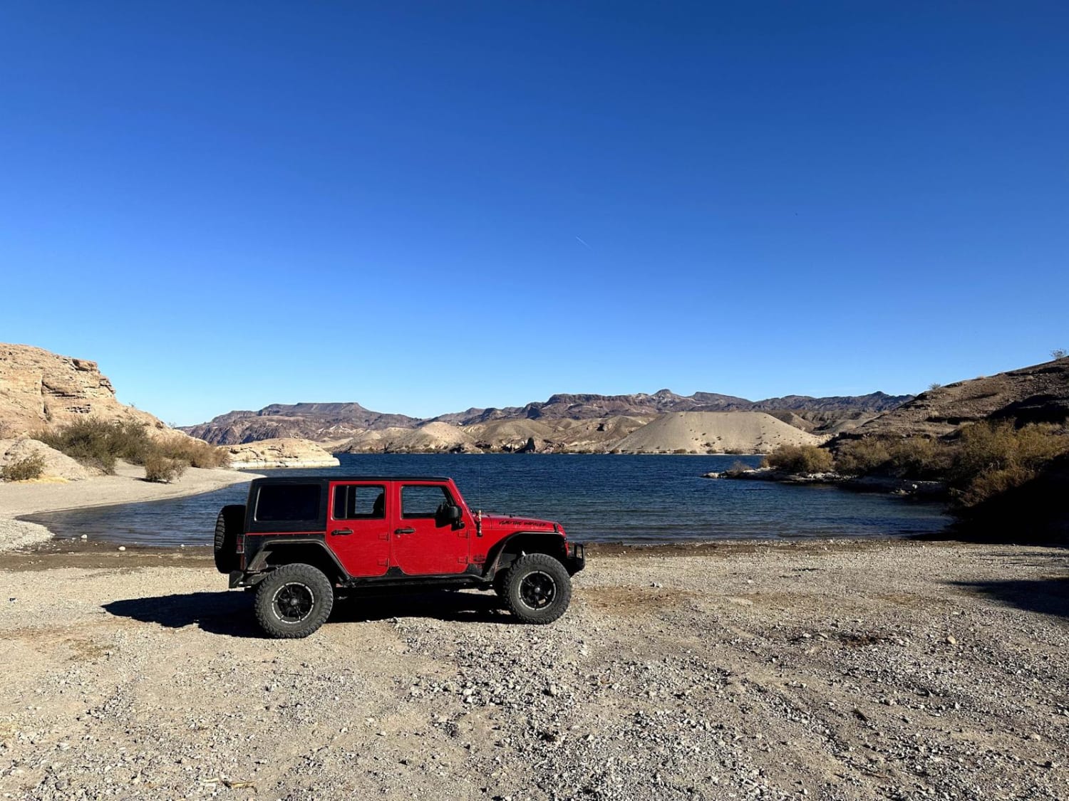
Photos of Blue Diamond BLM Trail Access
Difficulty
This rocky trail features loose sand, gravel, and stones mixed with hard layers of exposed rock, creating a rough and uneven surface. Two-wheel drive and low-clearance vehicles are not recommended.
Status Reports
Blue Diamond BLM Trail Access can be accessed by the following ride types:
- High-Clearance 4x4
- SUV
- SxS (60")
- ATV (50")
- Dirt Bike
Blue Diamond BLM Trail Access Map
Popular Trails
Harris Springs Cutoff Road
Jawa Canyon
Lowboy Mine Spur A - FS 43251A
Mountain Wash Road to Morning Star Cove
The onX Offroad Difference
onX Offroad combines trail photos, descriptions, difficulty ratings, width restrictions, seasonality, and more in a user-friendly interface. Available on all devices, with offline access and full compatibility with CarPlay and Android Auto. Discover what you’re missing today!