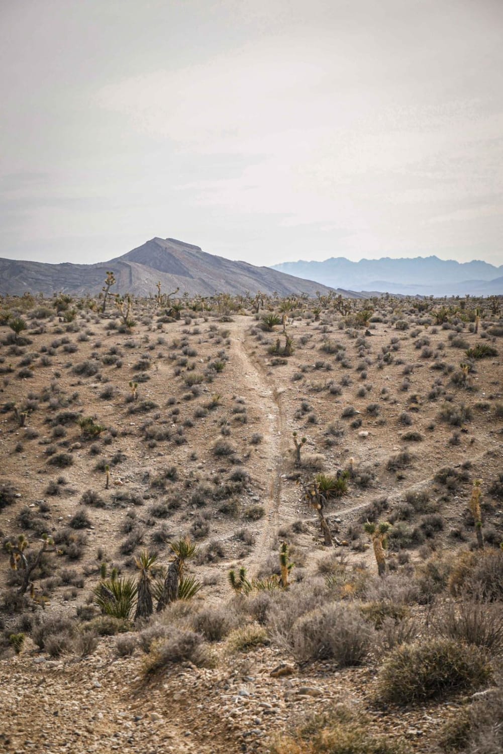
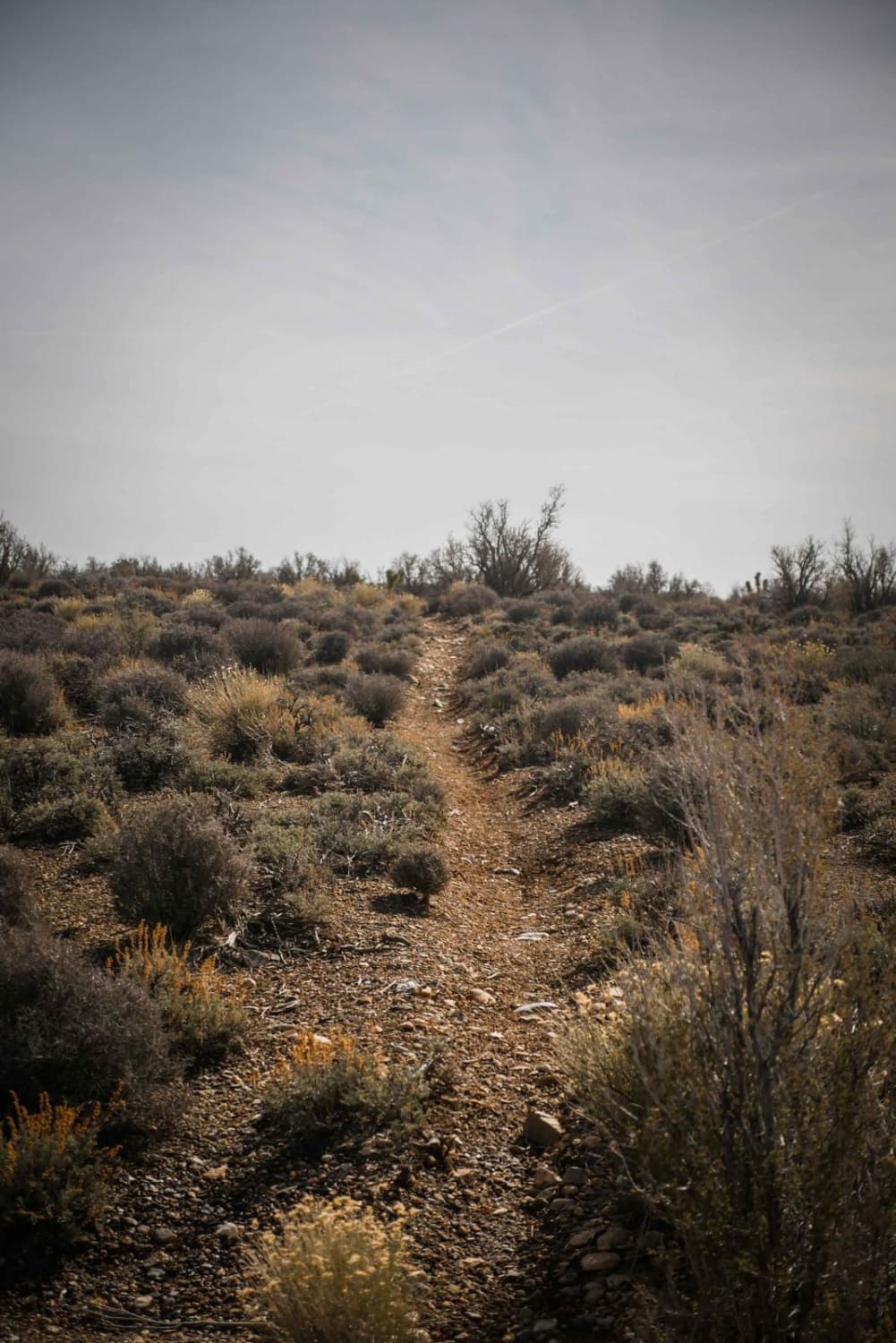
Off-Road Trails in Nevada
Discover off-road trails in Nevada

Learn more about Ice Plant Springs Road
Ice Plant Springs Road
Total Miles
2.2
Tech Rating
Easy
Best Time
Summer
Learn more about Indiana Bones Trail
Indiana Bones Trail
Total Miles
1.8
Tech Rating
Moderate
Best Time
Spring, Summer, Fall, Winter
Learn more about Insane in the Membrane
Insane in the Membrane
Total Miles
9.4
Tech Rating
Moderate
Best Time
Spring, Fall, Winter
Learn more about Interstate 15 to Moapa Ride About
Interstate 15 to Moapa Ride About
Total Miles
6.0
Tech Rating
Moderate
Best Time
Spring, Fall, Winter
Learn more about Irish Mountain Road
Irish Mountain Road
Total Miles
8.5
Tech Rating
Easy
Best Time
Spring, Summer, Fall
Learn more about It's Not My Fault
It's Not My Fault
Total Miles
18.6
Tech Rating
Easy
Best Time
Summer, Spring, Fall, Winter
Learn more about Jackrabbit Run
Jackrabbit Run
Total Miles
11.5
Tech Rating
Easy
Best Time
Spring, Fall, Winter
Learn more about Jawa Canyon
Jawa Canyon
Total Miles
2.8
Tech Rating
Moderate
Best Time
Spring, Fall, Winter
Learn more about Jett Creek - FS 44090
Jett Creek - FS 44090
Total Miles
5.8
Tech Rating
Moderate
Best Time
Spring, Summer, Fall
Learn more about Joe Higbee Road
Joe Higbee Road
Total Miles
9.0
Tech Rating
Easy
Best Time
Spring, Summer, Fall
Learn more about Joe May Road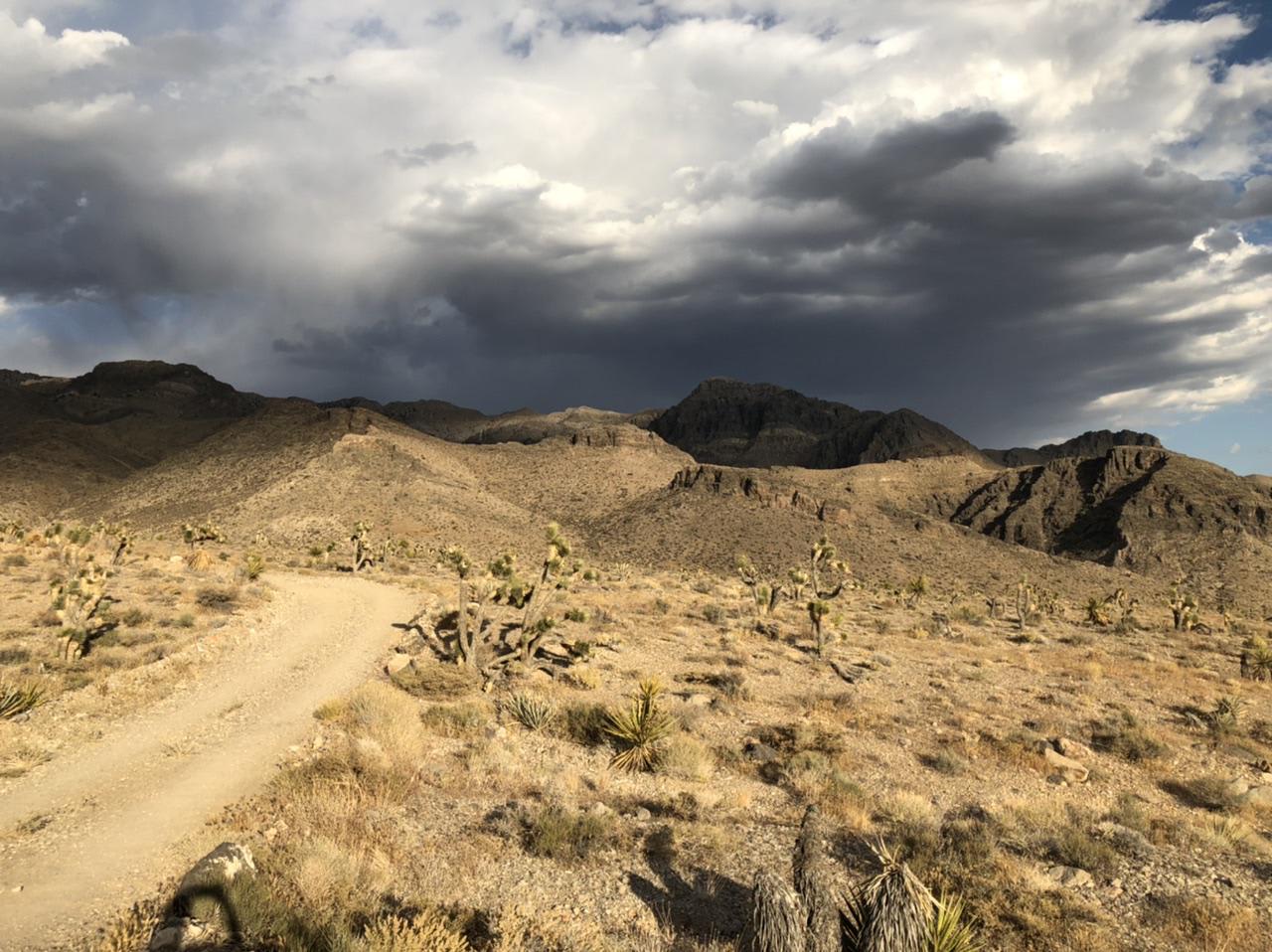
Joe May Road
Total Miles
4.2
Tech Rating
Easy
Best Time
Spring, Summer, Fall, Winter
Learn more about Johnswort Road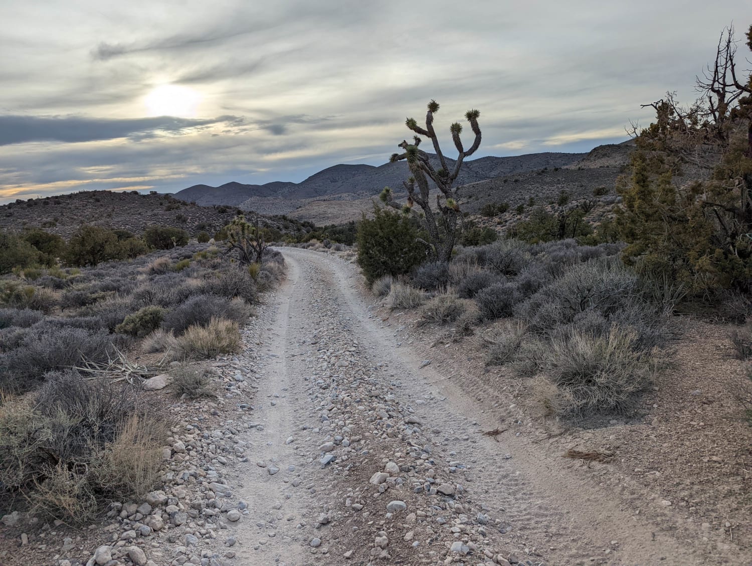
Johnswort Road
Total Miles
4.5
Tech Rating
Moderate
Best Time
Spring, Summer, Fall, Winter
Learn more about Joshua Trees and Cliffsides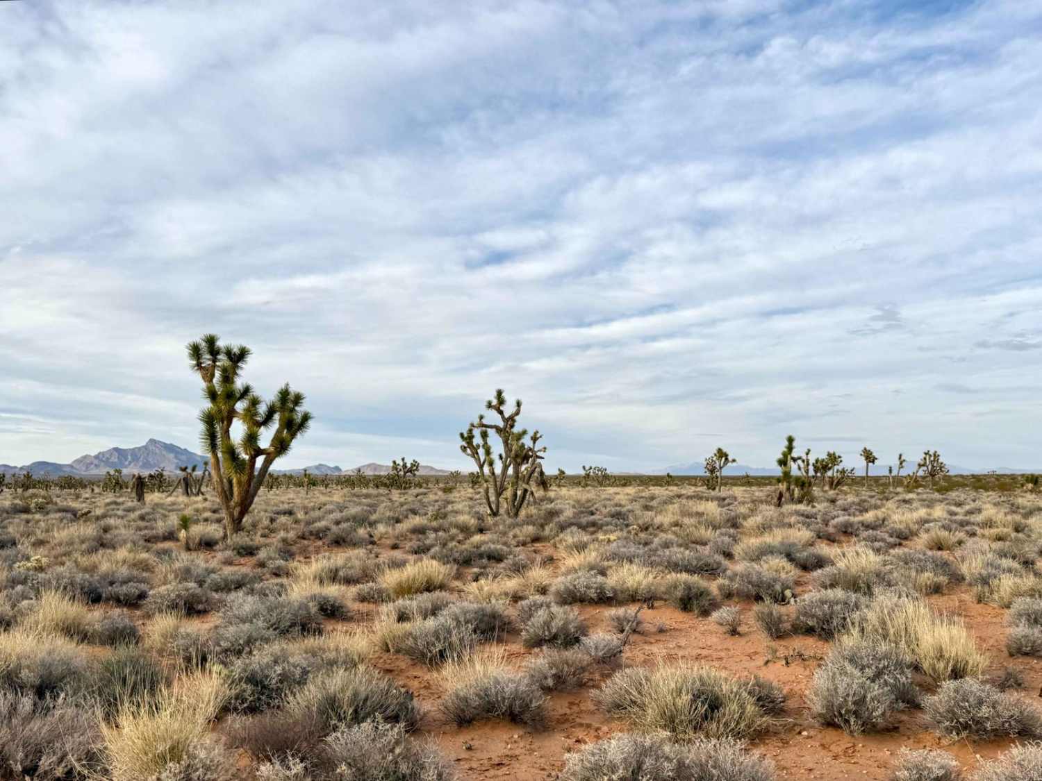
Joshua Trees and Cliffsides
Total Miles
7.6
Tech Rating
Easy
Best Time
Spring, Fall, Winter
Learn more about Julian Drive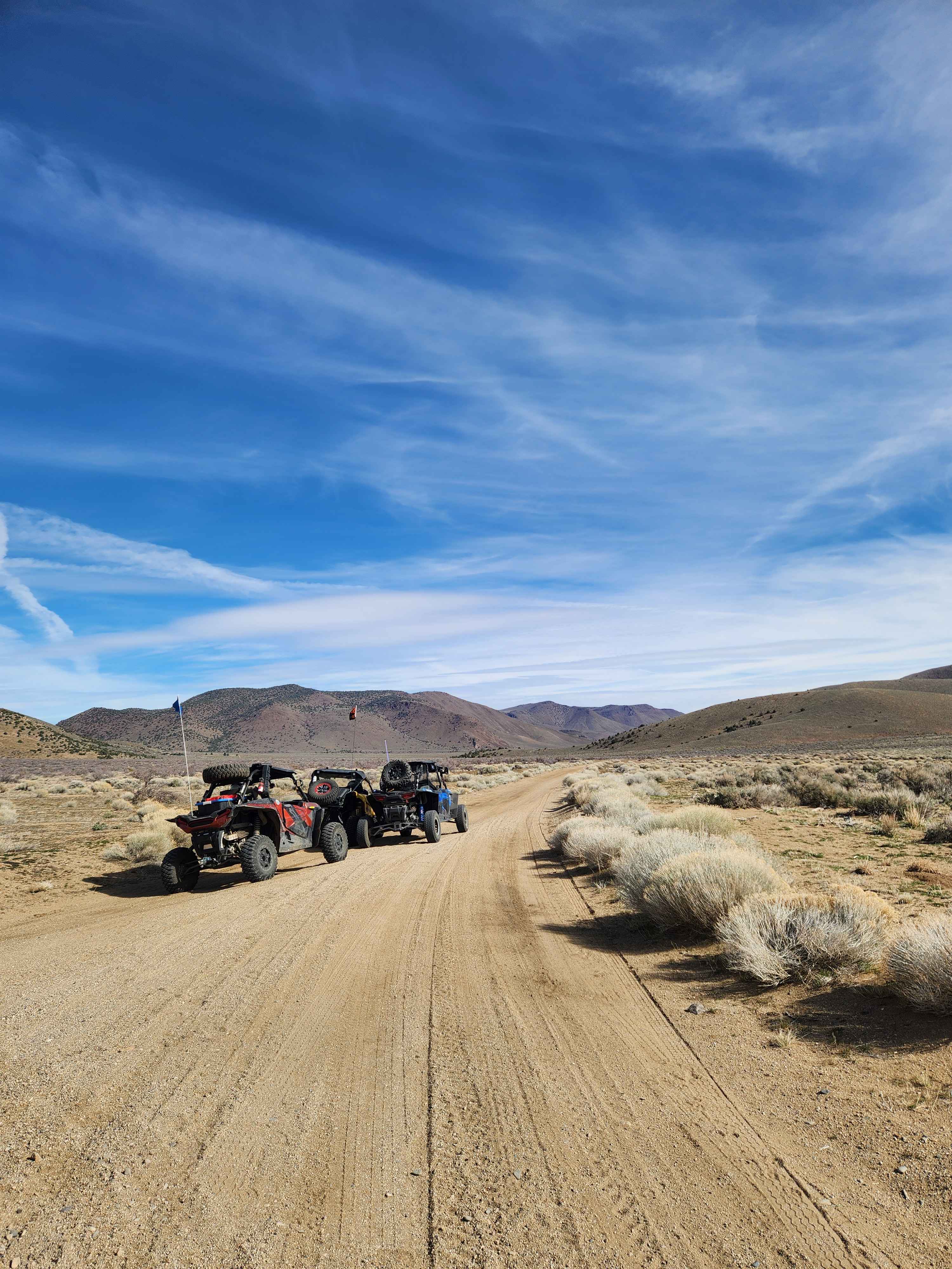
Julian Drive
Total Miles
14.0
Tech Rating
Easy
Best Time
Spring, Summer, Fall, Winter
Learn more about Jumbo Mine Ruins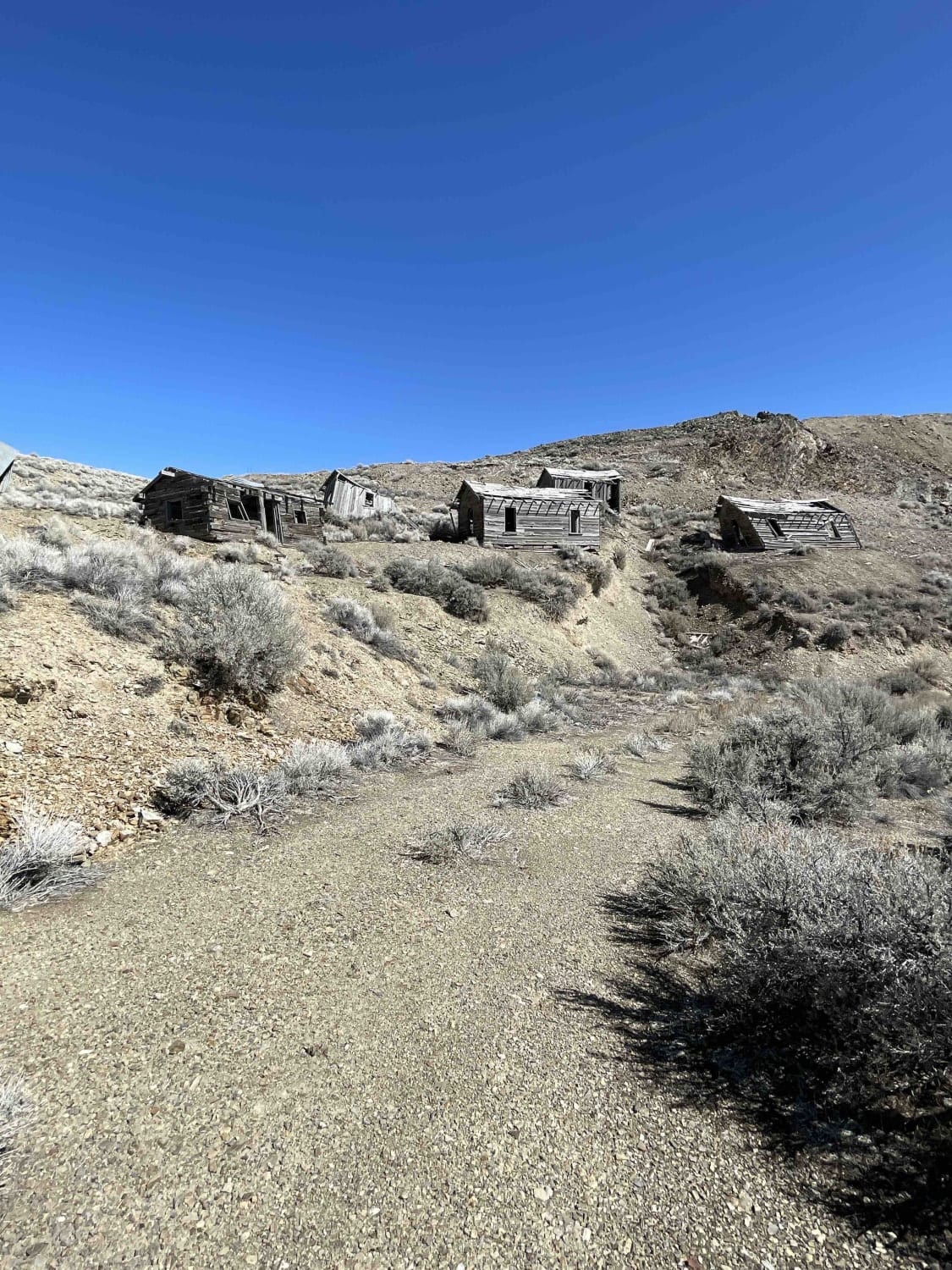
Jumbo Mine Ruins
Total Miles
6.9
Tech Rating
Moderate
Best Time
Summer, Fall
ATV trails in Nevada
Learn more about "Just Found It" Trail
"Just Found It" Trail
Total Miles
3.4
Tech Rating
Easy
Best Time
Spring, Summer, Fall, Winter
Learn more about 13-Mile Loop
13-Mile Loop
Total Miles
17.4
Tech Rating
Easy
Best Time
Spring, Summer, Fall, Winter
Learn more about 1947 Bunker Trail
1947 Bunker Trail
Total Miles
6.5
Tech Rating
Easy
Best Time
Summer, Fall
Learn more about 265 Camping Crossover
265 Camping Crossover
Total Miles
2.3
Tech Rating
Easy
Best Time
Fall, Spring, Winter
UTV/side-by-side trails in Nevada
Learn more about "Just Found It" Trail
"Just Found It" Trail
Total Miles
3.4
Tech Rating
Easy
Best Time
Spring, Summer, Fall, Winter
Learn more about 13-Mile Loop
13-Mile Loop
Total Miles
17.4
Tech Rating
Easy
Best Time
Spring, Summer, Fall, Winter
Learn more about 1947 Bunker Trail
1947 Bunker Trail
Total Miles
6.5
Tech Rating
Easy
Best Time
Summer, Fall
Learn more about 265 Camping Crossover
265 Camping Crossover
Total Miles
2.3
Tech Rating
Easy
Best Time
Fall, Spring, Winter
The onX Offroad Difference
onX Offroad combines trail photos, descriptions, difficulty ratings, width restrictions, seasonality, and more in a user-friendly interface. Available on all devices, with offline access and full compatibility with CarPlay and Android Auto. Discover what you’re missing today!