Off-Road Trails in Nevada
Discover off-road trails in Nevada
Learn more about Fish Lake Springs Rd.
Fish Lake Springs Rd.
Total Miles
16.9
Tech Rating
Easy
Best Time
Spring, Summer, Fall, Winter
Learn more about Fish Lake Springs Rd.
Fish Lake Springs Rd.
Total Miles
16.9
Tech Rating
Easy
Best Time
Spring, Summer, Fall, Winter
Learn more about Fisherman Cove Road
Fisherman Cove Road
Total Miles
9.1
Tech Rating
Easy
Best Time
Spring, Fall, Winter
Learn more about Flat Top Mesa Loop Trail
Flat Top Mesa Loop Trail
Total Miles
16.2
Tech Rating
Easy
Best Time
Spring, Fall, Winter
Learn more about Foothill Loop
Foothill Loop
Total Miles
3.7
Tech Rating
Easy
Best Time
Spring, Summer, Fall
Learn more about Four Mile Creek Road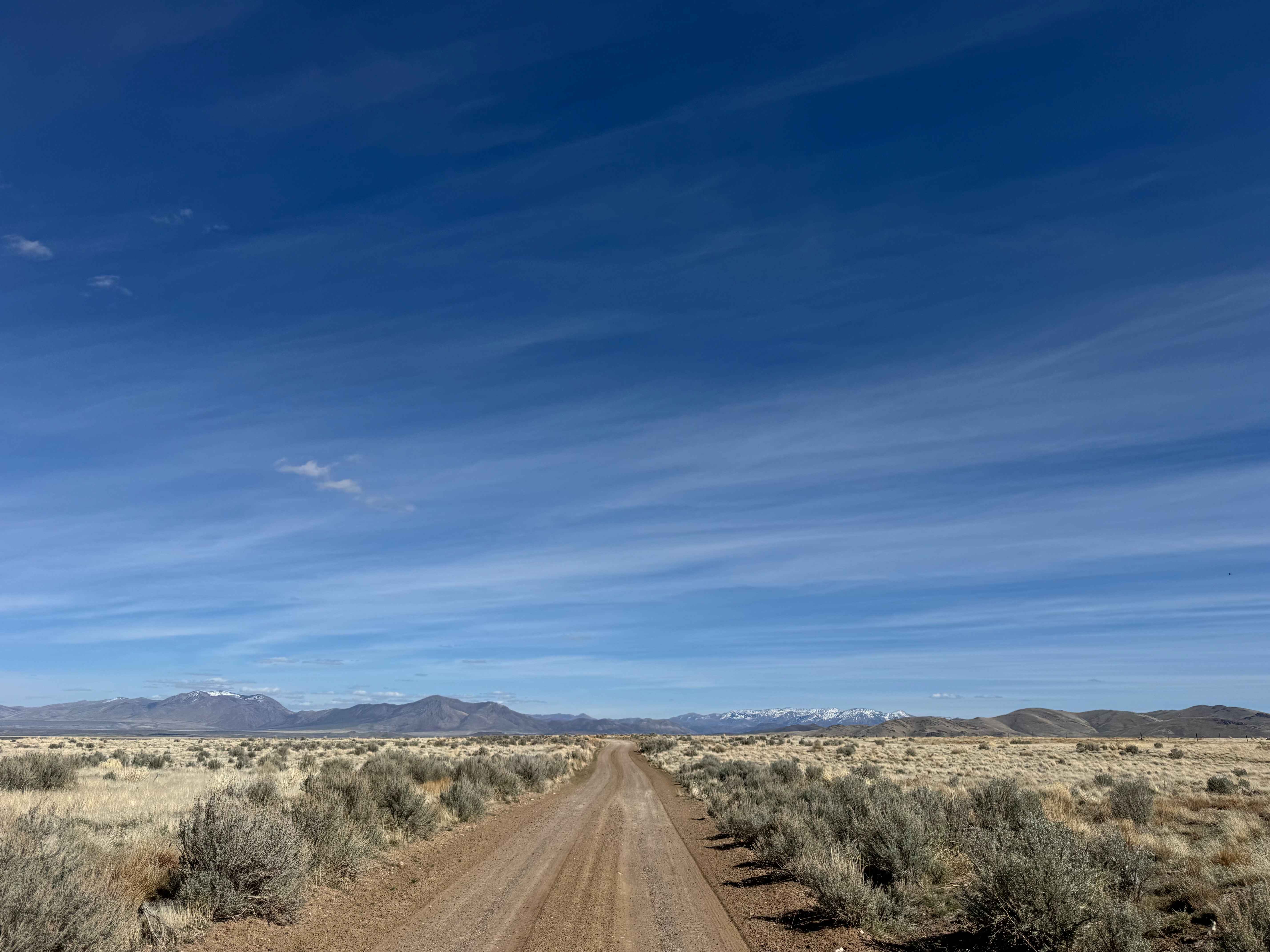
Four Mile Creek Road
Total Miles
16.3
Tech Rating
Easy
Best Time
Spring, Summer, Fall, Winter
Learn more about Front Site Overlook 
Front Site Overlook
Total Miles
3.1
Tech Rating
Easy
Best Time
Winter
Learn more about Garden Spring Loop
Garden Spring Loop
Total Miles
11.3
Tech Rating
Easy
Best Time
Winter, Fall, Spring
Learn more about Gass Peak Rd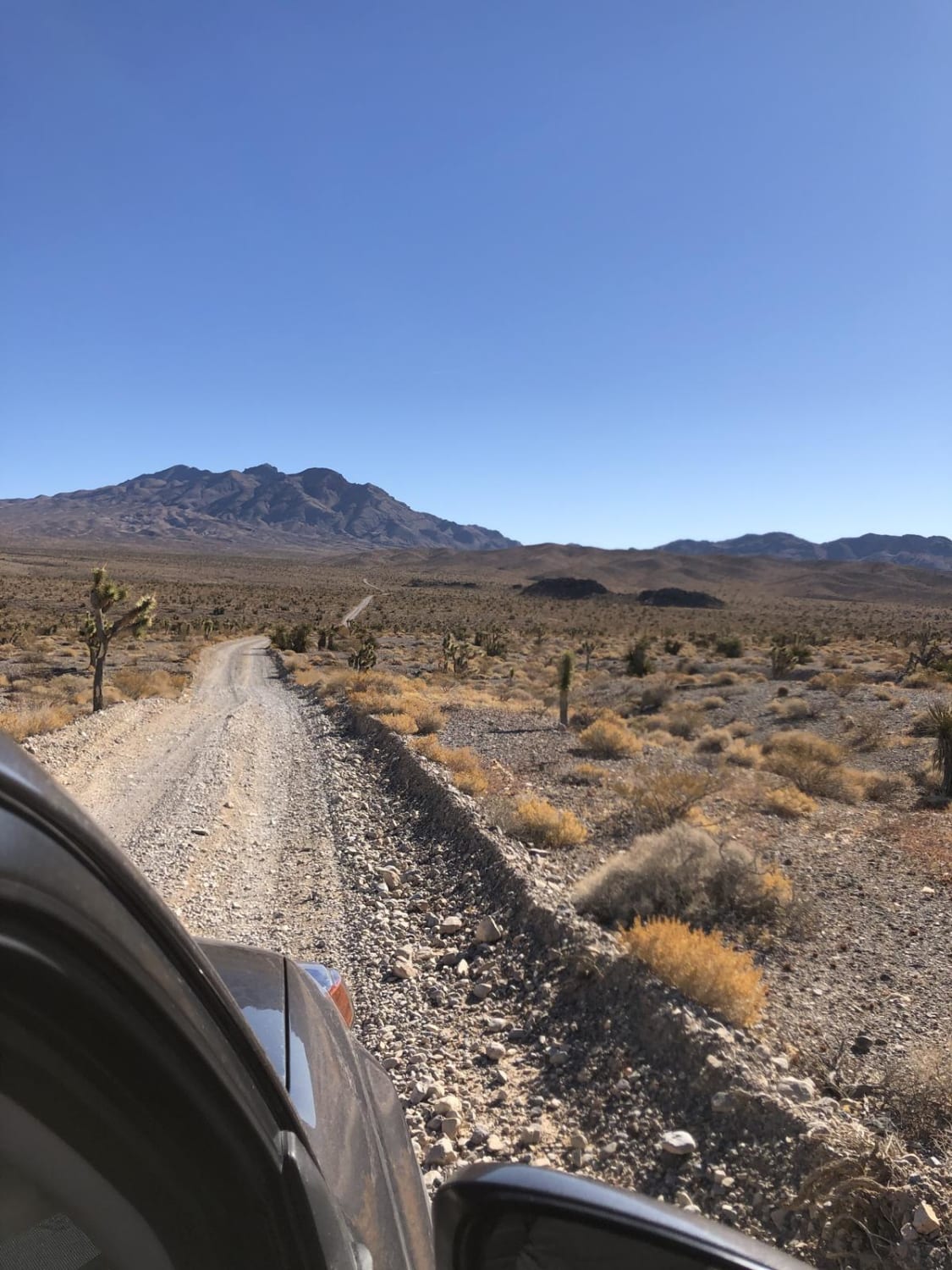
Gass Peak Rd
Total Miles
15.6
Tech Rating
Easy
Best Time
Spring, Fall, Winter
Learn more about Gemfield Access Trail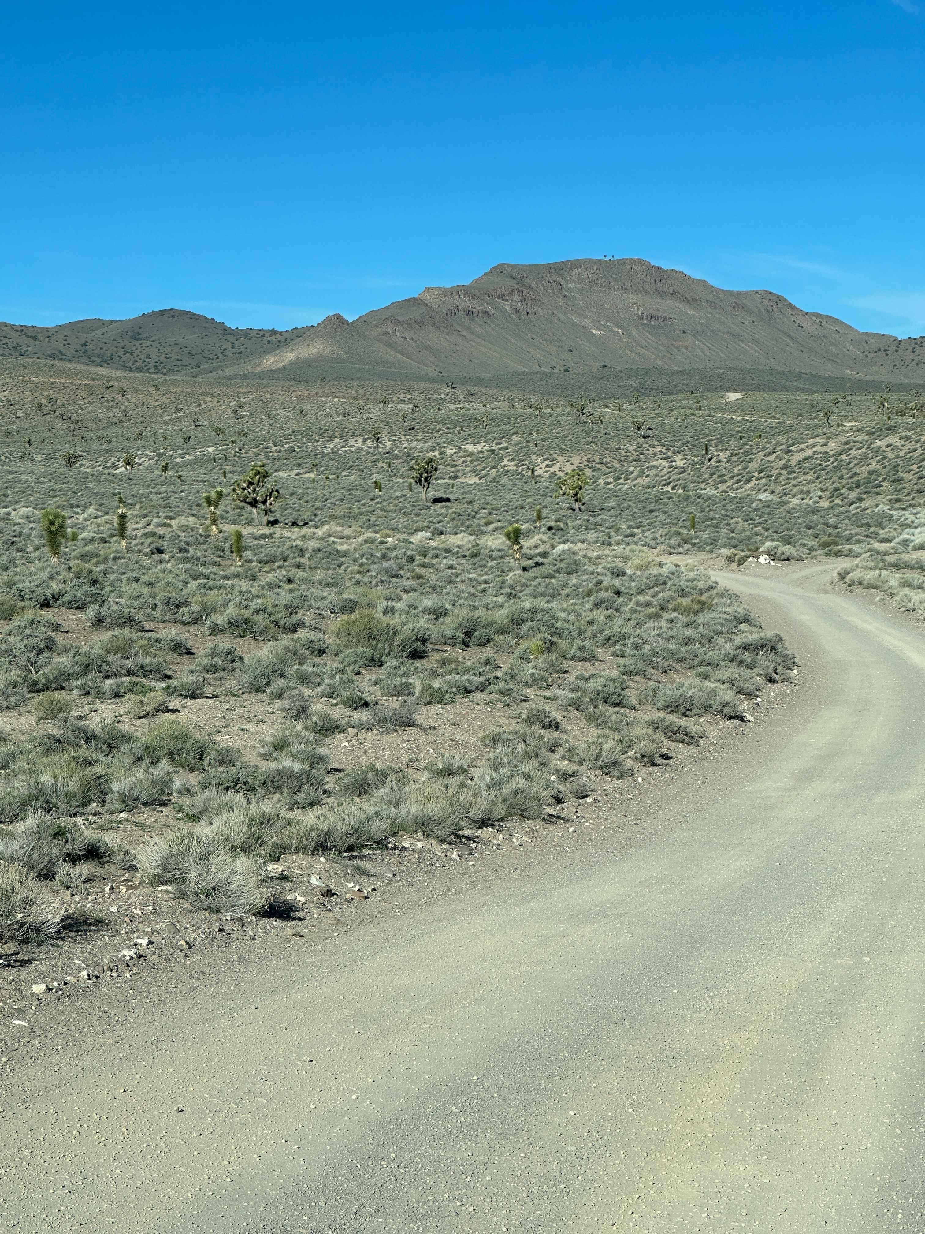
Gemfield Access Trail
Total Miles
3.3
Tech Rating
Easy
Best Time
Spring
Learn more about Genoa Peak Road - 41306
Genoa Peak Road - 41306
Total Miles
11.4
Tech Rating
Easy
Best Time
Summer, Fall
Learn more about Ghost Open Area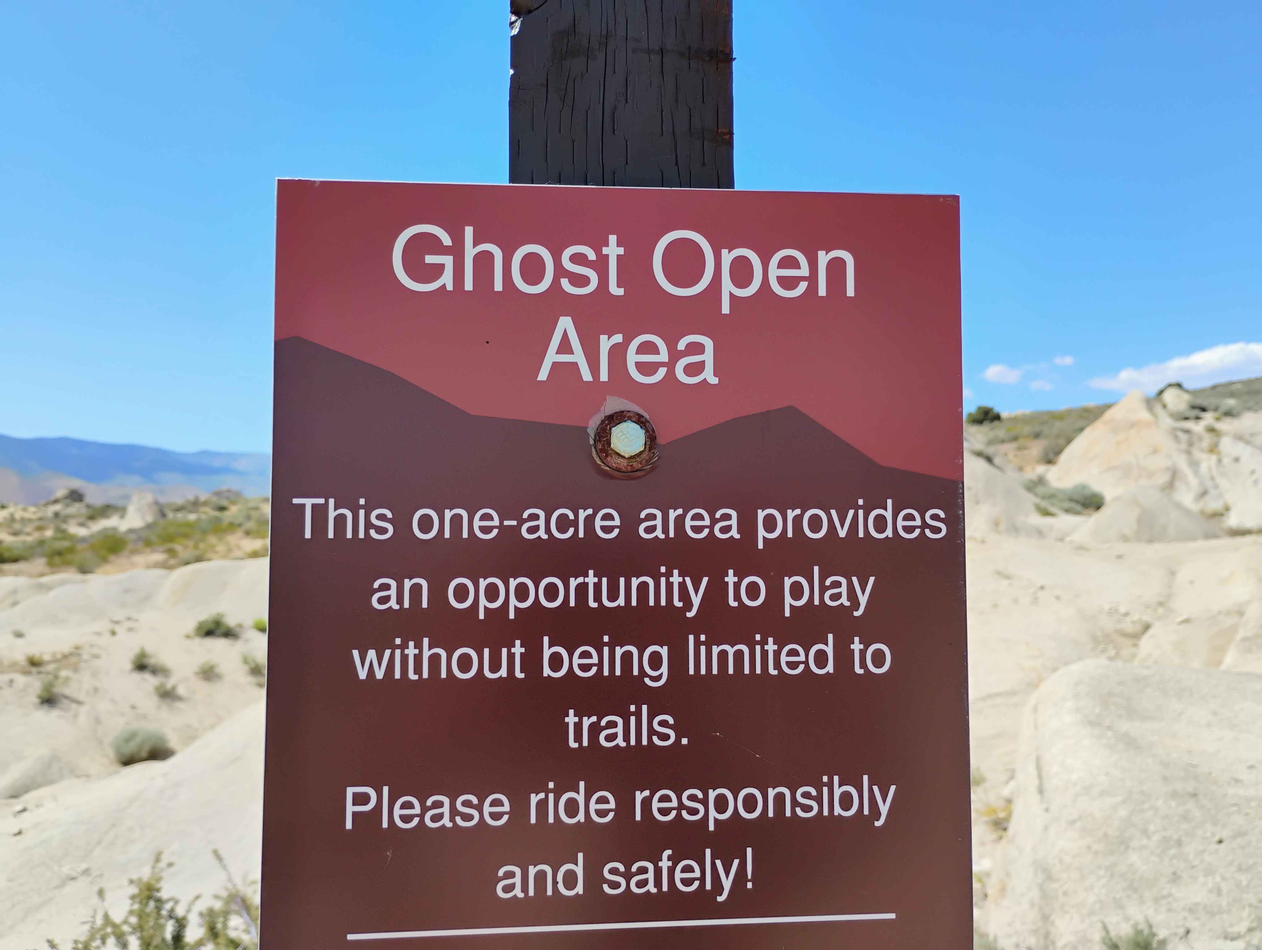
Ghost Open Area
Total Miles
0.2
Tech Rating
Moderate
Best Time
Winter, Fall, Spring
Learn more about Glyphs from Lockwood
Glyphs from Lockwood
Total Miles
8.9
Tech Rating
Moderate
Best Time
Spring, Fall, Summer
Learn more about Gold Bar Road
Gold Bar Road
Total Miles
5.3
Tech Rating
Easy
Best Time
Winter, Fall, Spring
Learn more about Gold Butte Loop
Gold Butte Loop
Total Miles
22.6
Tech Rating
Moderate
Best Time
Winter, Fall, Spring
Learn more about Gold Butte to 21 Goats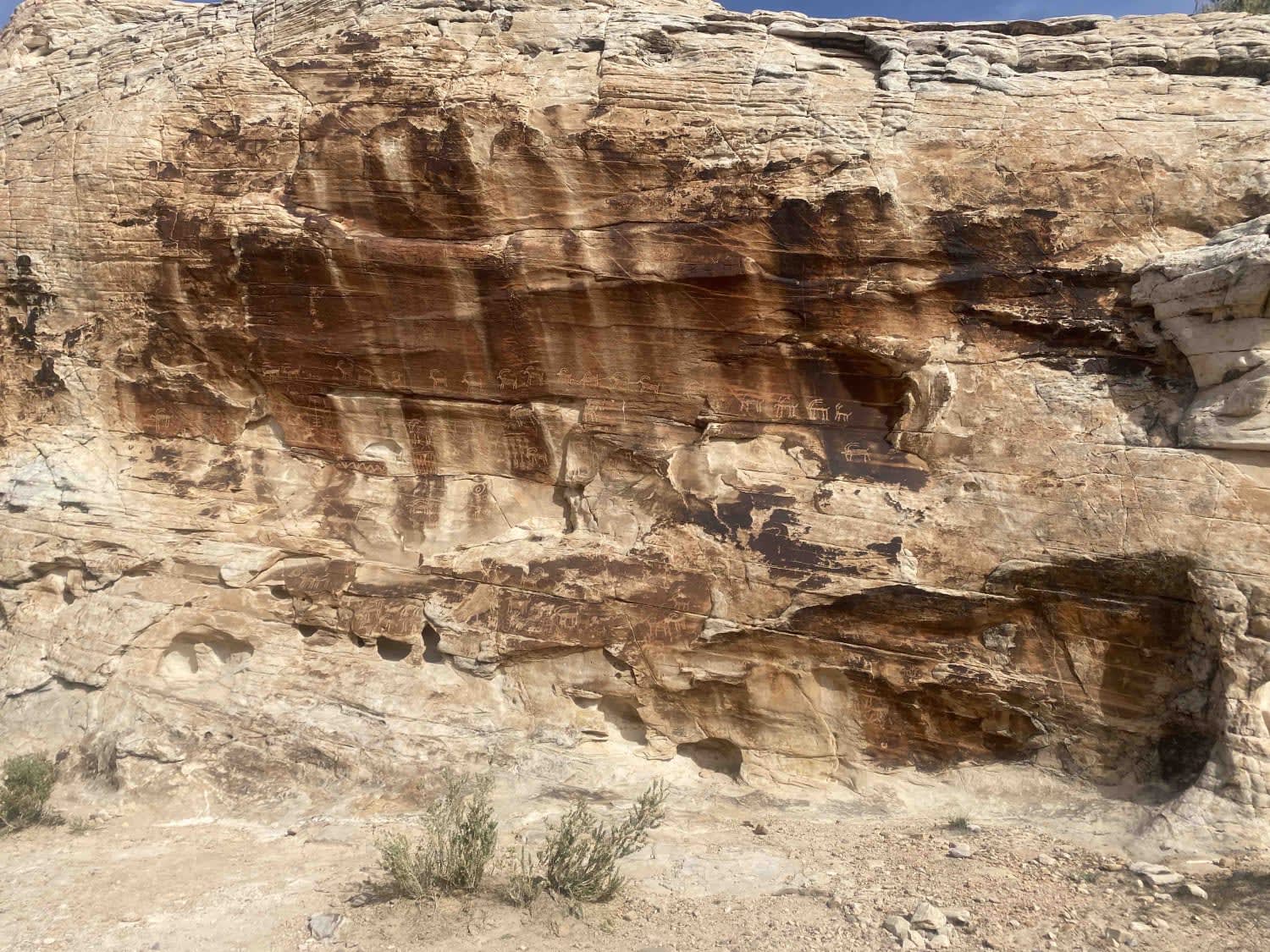
Gold Butte to 21 Goats
Total Miles
3.9
Tech Rating
Easy
Best Time
Spring, Fall, Winter
Learn more about Gold Butte to Double Negative
Gold Butte to Double Negative
Total Miles
16.7
Tech Rating
Easy
Best Time
Fall, Winter, Spring
ATV trails in Nevada
Learn more about "Just Found It" Trail
"Just Found It" Trail
Total Miles
3.4
Tech Rating
Easy
Best Time
Spring, Summer, Fall, Winter
Learn more about 13-Mile Loop
13-Mile Loop
Total Miles
17.4
Tech Rating
Easy
Best Time
Spring, Summer, Fall, Winter
Learn more about 1947 Bunker Trail
1947 Bunker Trail
Total Miles
6.5
Tech Rating
Easy
Best Time
Summer, Fall
Learn more about 265 Camping Crossover
265 Camping Crossover
Total Miles
2.3
Tech Rating
Easy
Best Time
Fall, Spring, Winter
UTV/side-by-side trails in Nevada
Learn more about "Just Found It" Trail
"Just Found It" Trail
Total Miles
3.4
Tech Rating
Easy
Best Time
Spring, Summer, Fall, Winter
Learn more about 13-Mile Loop
13-Mile Loop
Total Miles
17.4
Tech Rating
Easy
Best Time
Spring, Summer, Fall, Winter
Learn more about 1947 Bunker Trail
1947 Bunker Trail
Total Miles
6.5
Tech Rating
Easy
Best Time
Summer, Fall
Learn more about 265 Camping Crossover
265 Camping Crossover
Total Miles
2.3
Tech Rating
Easy
Best Time
Fall, Spring, Winter
The onX Offroad Difference
onX Offroad combines trail photos, descriptions, difficulty ratings, width restrictions, seasonality, and more in a user-friendly interface. Available on all devices, with offline access and full compatibility with CarPlay and Android Auto. Discover what you’re missing today!