Off-Road Trails in Nevada
Discover off-road trails in Nevada
Learn more about Desert Creek Loop
Desert Creek Loop
Total Miles
16.9
Tech Rating
Easy
Best Time
Summer, Fall
Learn more about Desert Ranch and Reservoir
Desert Ranch and Reservoir
Total Miles
20.7
Tech Rating
Easy
Best Time
Spring, Summer, Fall, Winter
Learn more about Devil's Cove Road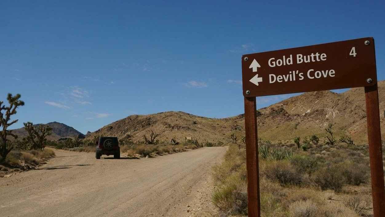
Devil's Cove Road
Total Miles
14.1
Tech Rating
Easy
Best Time
Spring, Summer, Fall, Winter
Learn more about Devil's Hole Road 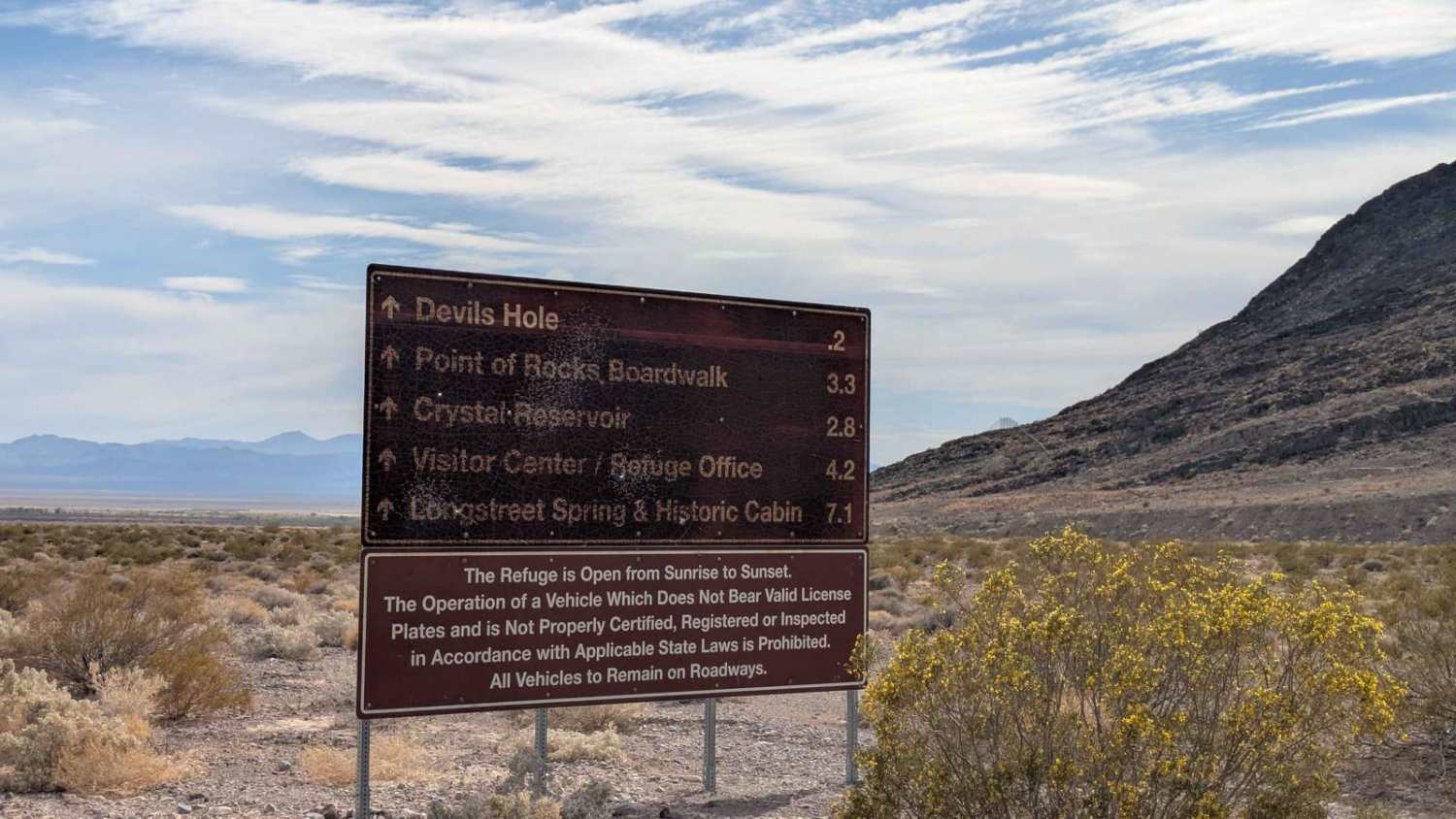
Devil's Hole Road
Total Miles
8.5
Tech Rating
Easy
Best Time
Summer, Spring, Fall, Winter
Learn more about Dixie Valley Tanks
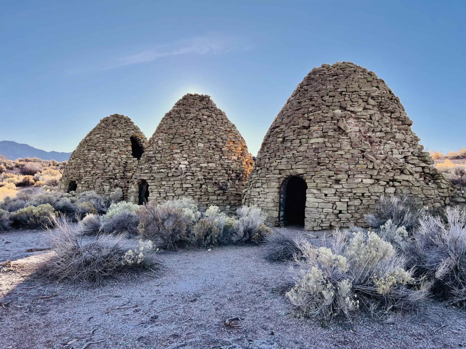
Dixie Valley Tanks
Total Miles
11.3
Tech Rating
Easy
Best Time
Spring, Summer
Learn more about Dodge-Ford Mine
Dodge-Ford Mine
Total Miles
2.5
Tech Rating
Easy
Best Time
Fall, Spring, Summer
Learn more about Double Waterfall
Double Waterfall
Total Miles
0.2
Tech Rating
Extreme
Best Time
Fall, Spring
Learn more about Douglas Spring - 44501
Douglas Spring - 44501
Total Miles
7.9
Tech Rating
Easy
Best Time
Summer, Spring, Fall
Learn more about Down to Seeps
Down to Seeps
Total Miles
9.0
Tech Rating
Moderate
Best Time
Spring, Fall, Winter
Learn more about Dry Canyon Alternate - FS 43231
Dry Canyon Alternate - FS 43231
Total Miles
4.7
Tech Rating
Easy
Best Time
Spring, Summer, Fall
Learn more about Dry Canyon North - FS 23005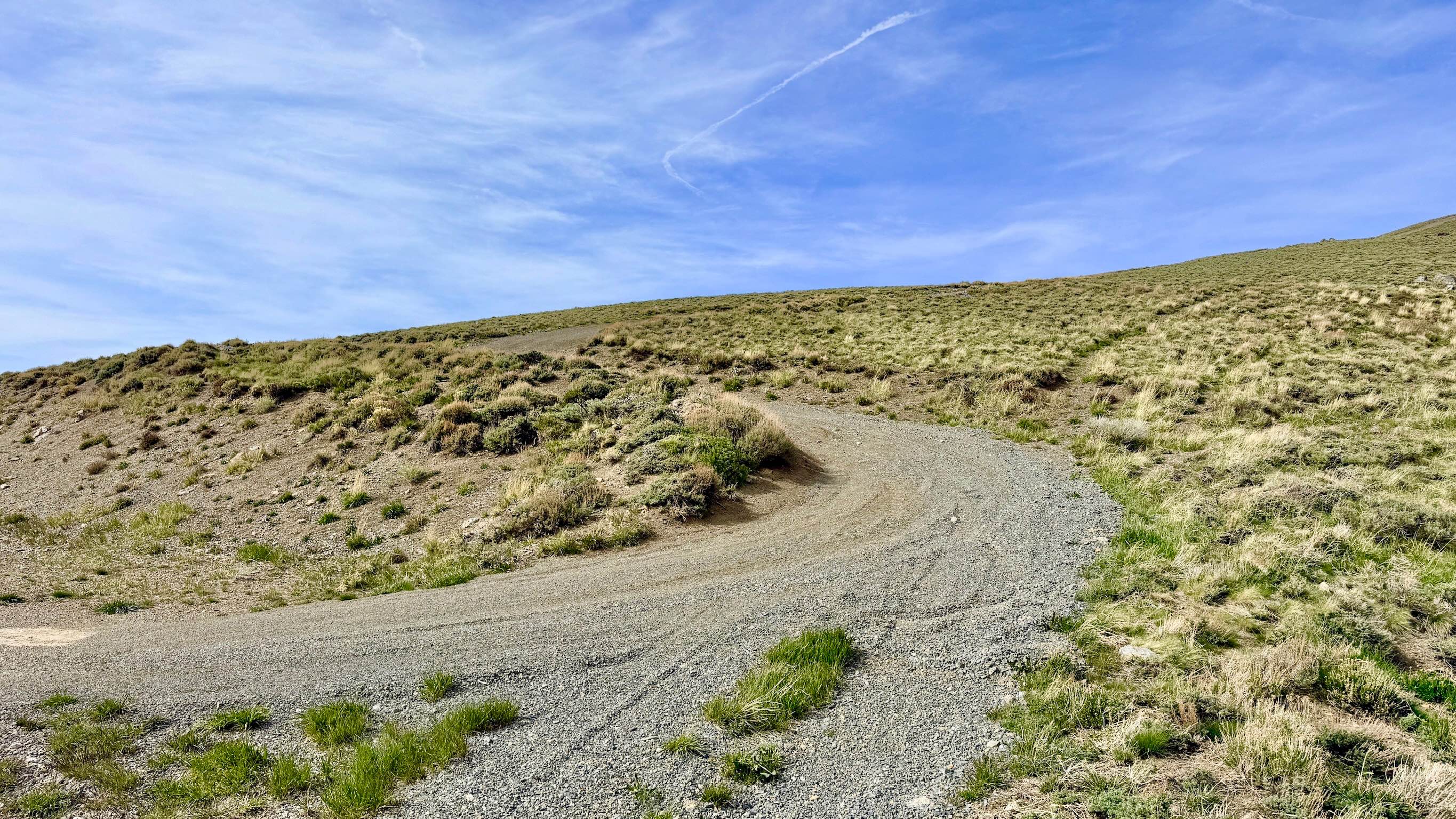
Dry Canyon North - FS 23005
Total Miles
5.2
Tech Rating
Moderate
Best Time
Spring, Summer, Fall
Learn more about Dry Canyon South - FS 23004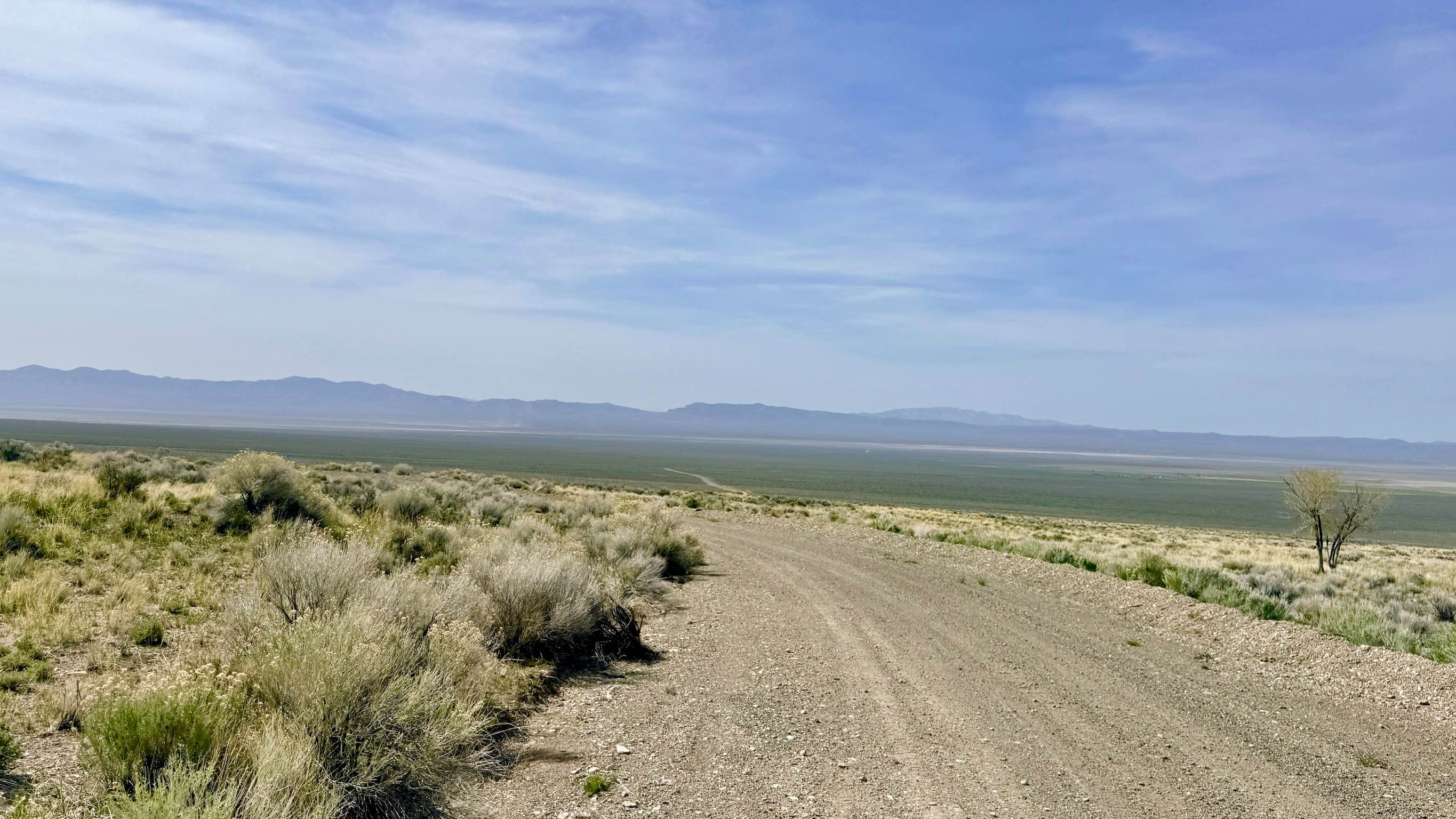
Dry Canyon South - FS 23004
Total Miles
6.4
Tech Rating
Easy
Best Time
Spring, Summer, Fall
Learn more about Dry Lakes Loop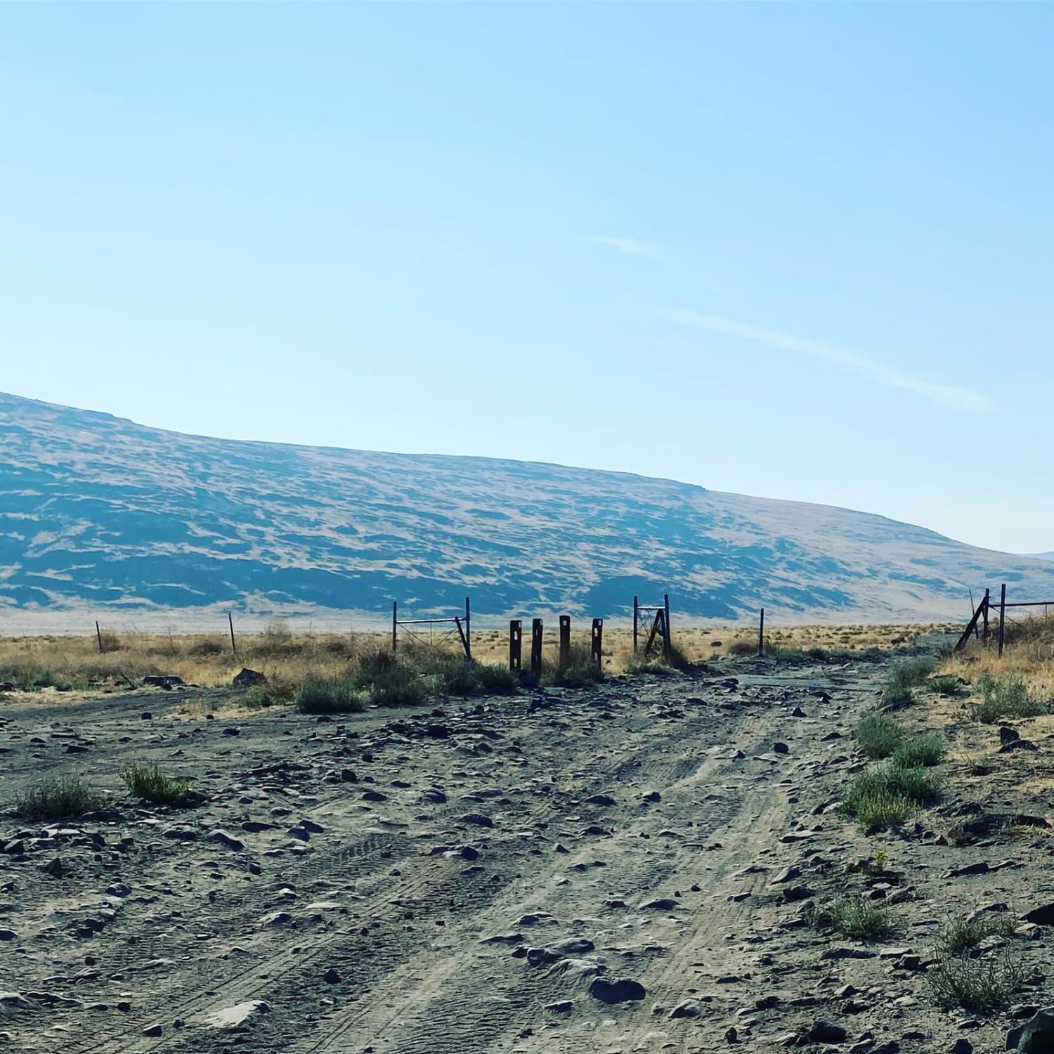
Dry Lakes Loop
Total Miles
21.4
Tech Rating
Easy
Best Time
Spring, Summer, Fall, Winter
Learn more about Dry Valley Rim
Dry Valley Rim
Total Miles
9.0
Tech Rating
Easy
Best Time
Spring, Fall, Winter
Learn more about Duners Delight: The Snake
Duners Delight: The Snake
Total Miles
0.8
Tech Rating
Moderate
Best Time
Spring, Fall, Winter
Learn more about Dunes Poll Line Road
Dunes Poll Line Road
Total Miles
7.4
Tech Rating
Easy
Best Time
Fall, Spring, Winter
ATV trails in Nevada
Learn more about "Just Found It" Trail
"Just Found It" Trail
Total Miles
3.4
Tech Rating
Easy
Best Time
Spring, Summer, Fall, Winter
Learn more about 13-Mile Loop
13-Mile Loop
Total Miles
17.4
Tech Rating
Easy
Best Time
Spring, Summer, Fall, Winter
Learn more about 1947 Bunker Trail
1947 Bunker Trail
Total Miles
6.5
Tech Rating
Easy
Best Time
Summer, Fall
Learn more about 265 Camping Crossover
265 Camping Crossover
Total Miles
2.3
Tech Rating
Easy
Best Time
Fall, Spring, Winter
UTV/side-by-side trails in Nevada
Learn more about "Just Found It" Trail
"Just Found It" Trail
Total Miles
3.4
Tech Rating
Easy
Best Time
Spring, Summer, Fall, Winter
Learn more about 13-Mile Loop
13-Mile Loop
Total Miles
17.4
Tech Rating
Easy
Best Time
Spring, Summer, Fall, Winter
Learn more about 1947 Bunker Trail
1947 Bunker Trail
Total Miles
6.5
Tech Rating
Easy
Best Time
Summer, Fall
Learn more about 265 Camping Crossover
265 Camping Crossover
Total Miles
2.3
Tech Rating
Easy
Best Time
Fall, Spring, Winter
The onX Offroad Difference
onX Offroad combines trail photos, descriptions, difficulty ratings, width restrictions, seasonality, and more in a user-friendly interface. Available on all devices, with offline access and full compatibility with CarPlay and Android Auto. Discover what you’re missing today!