Off-Road Trails in Nevada
Discover off-road trails in Nevada
Learn more about Cottonwood Pass
Cottonwood Pass
Total Miles
11.1
Tech Rating
Easy
Best Time
Spring, Summer, Fall, Winter
Learn more about County Road 34
County Road 34
Total Miles
41.6
Tech Rating
Easy
Best Time
Spring, Summer, Fall
Learn more about Cow Camp Road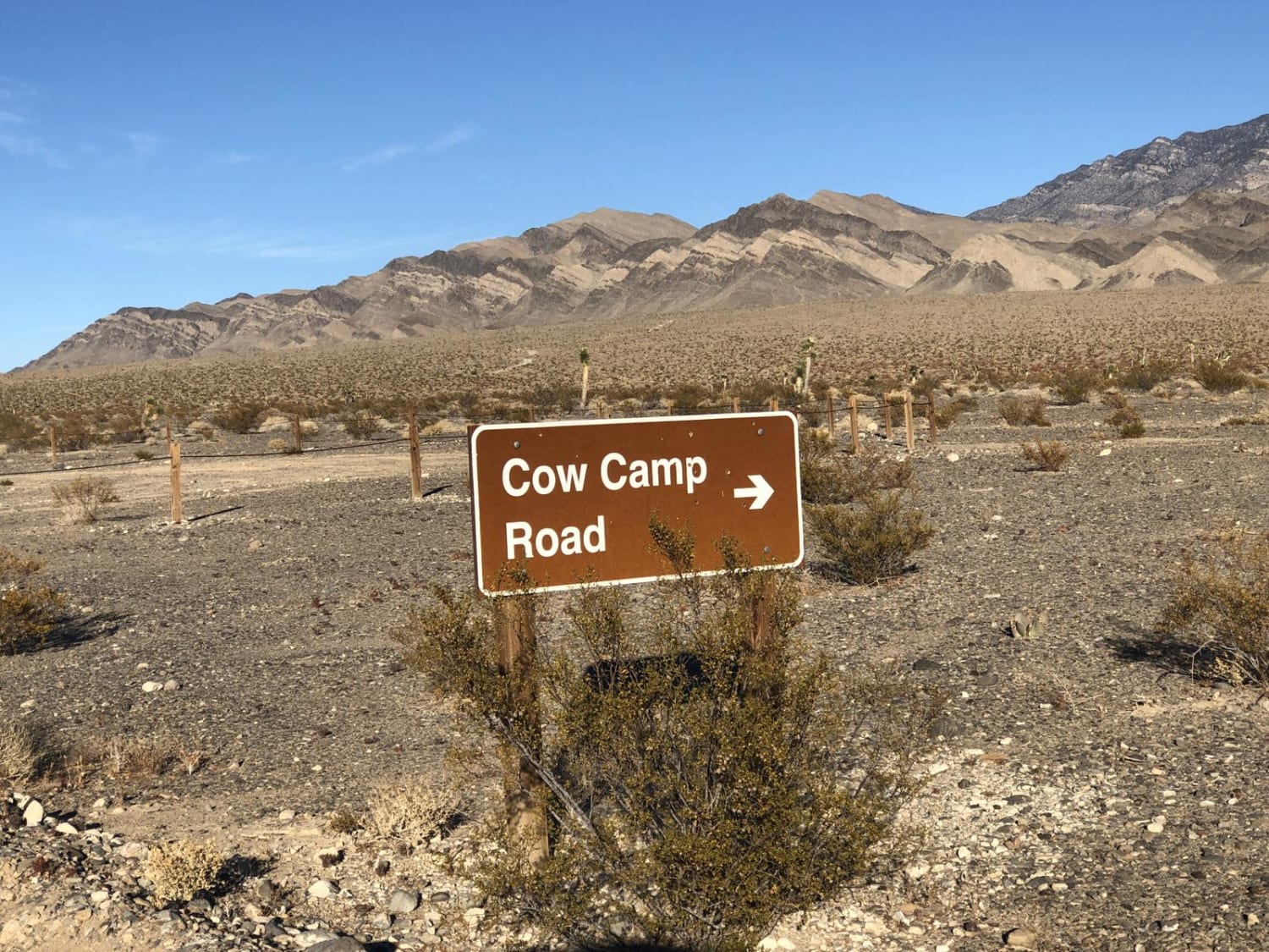
Cow Camp Road
Total Miles
5.7
Tech Rating
Easy
Best Time
Spring, Summer, Fall, Winter
Learn more about Crow Canyon - FS 43242
Crow Canyon - FS 43242
Total Miles
2.3
Tech Rating
Easy
Best Time
Spring, Summer, Fall
Learn more about Crystal Road Alternate
Crystal Road Alternate
Total Miles
4.6
Tech Rating
Easy
Best Time
Spring, Summer, Fall, Winter
Learn more about Crystal Springs Road
Crystal Springs Road
Total Miles
4.6
Tech Rating
Moderate
Best Time
Winter, Fall, Spring
Learn more about Cutting Through the Jawa Canyon
Cutting Through the Jawa Canyon
Total Miles
12.9
Tech Rating
Moderate
Best Time
Winter, Fall, Spring
Learn more about Dave Deacon Camp Dr. and Hot Creek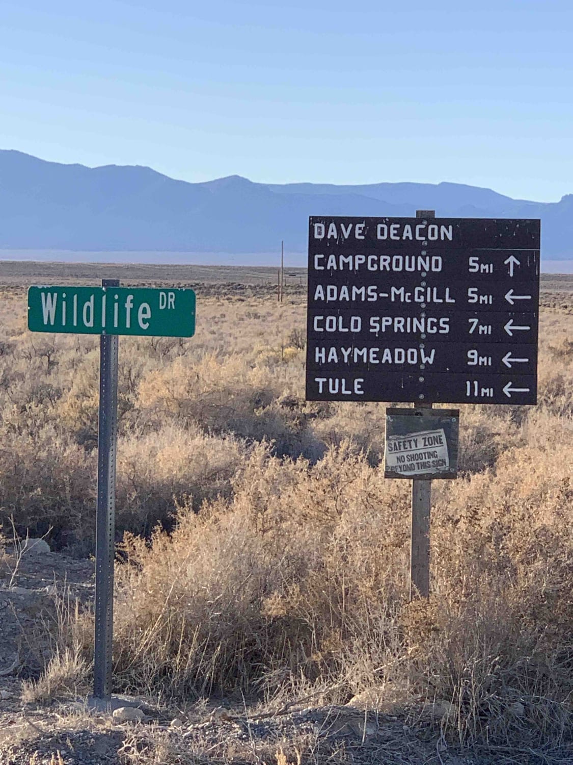
Dave Deacon Camp Dr. and Hot Creek
Total Miles
8.6
Tech Rating
Easy
Best Time
Winter, Summer, Fall, Spring
Learn more about Davey Town Rocky Mountains
Davey Town Rocky Mountains
Total Miles
34.2
Tech Rating
Moderate
Best Time
Summer
Learn more about Dead Horse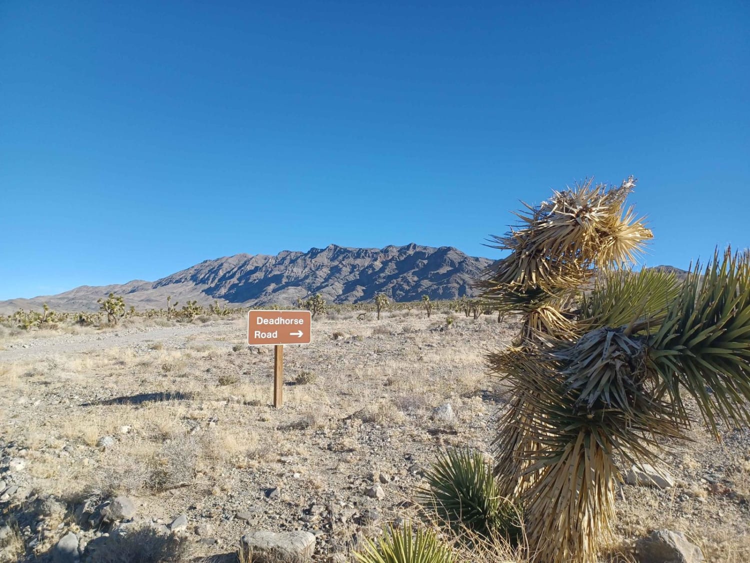
Dead Horse
Total Miles
8.8
Tech Rating
Easy
Best Time
Spring, Summer, Fall, Winter
Learn more about Deer Creek - FS 45560
Deer Creek - FS 45560
Total Miles
12.5
Tech Rating
Easy
Best Time
Spring, Summer, Fall, Winter
Learn more about Deer Lodge Road
Deer Lodge Road
Total Miles
16.0
Tech Rating
Easy
Best Time
Spring, Summer, Fall
Learn more about Delamar Ghost Town
Delamar Ghost Town
Total Miles
272.7
Tech Rating
Moderate
Best Time
Spring, Fall
ATV trails in Nevada
Learn more about "Just Found It" Trail
"Just Found It" Trail
Total Miles
3.4
Tech Rating
Easy
Best Time
Spring, Summer, Fall, Winter
Learn more about 13-Mile Loop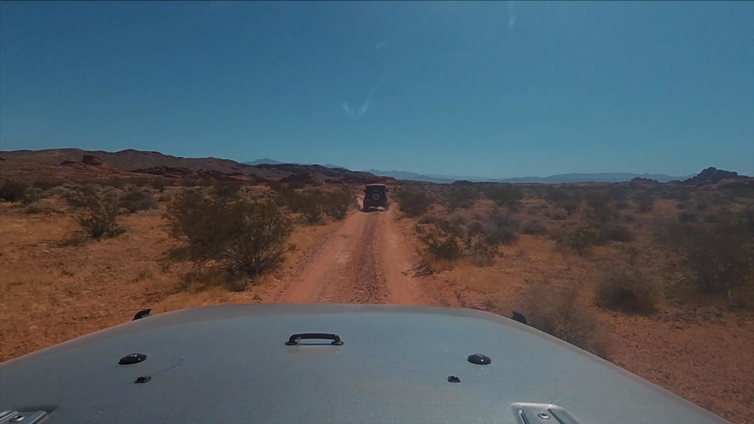
13-Mile Loop
Total Miles
17.4
Tech Rating
Easy
Best Time
Spring, Summer, Fall, Winter
Learn more about 1947 Bunker Trail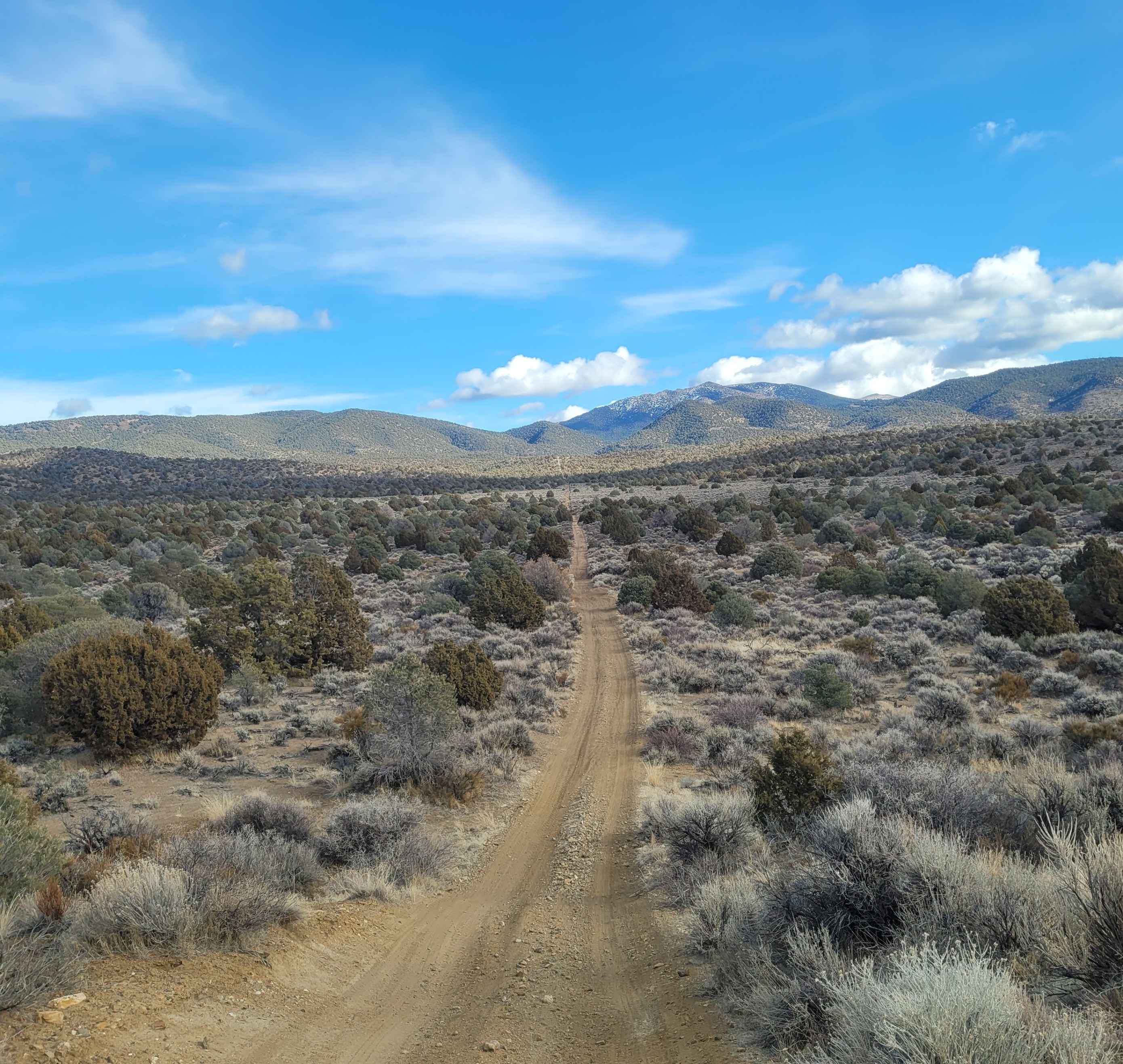
1947 Bunker Trail
Total Miles
6.5
Tech Rating
Easy
Best Time
Summer, Fall
Learn more about 265 Camping Crossover
265 Camping Crossover
Total Miles
2.3
Tech Rating
Easy
Best Time
Fall, Spring, Winter
UTV/side-by-side trails in Nevada
Learn more about "Just Found It" Trail
"Just Found It" Trail
Total Miles
3.4
Tech Rating
Easy
Best Time
Spring, Summer, Fall, Winter
Learn more about 13-Mile Loop
13-Mile Loop
Total Miles
17.4
Tech Rating
Easy
Best Time
Spring, Summer, Fall, Winter
Learn more about 1947 Bunker Trail
1947 Bunker Trail
Total Miles
6.5
Tech Rating
Easy
Best Time
Summer, Fall
Learn more about 265 Camping Crossover
265 Camping Crossover
Total Miles
2.3
Tech Rating
Easy
Best Time
Fall, Spring, Winter
The onX Offroad Difference
onX Offroad combines trail photos, descriptions, difficulty ratings, width restrictions, seasonality, and more in a user-friendly interface. Available on all devices, with offline access and full compatibility with CarPlay and Android Auto. Discover what you’re missing today!