Off-Road Trails in Nevada
Discover off-road trails in Nevada
Learn more about Campbell & Smith Creek Jeep Trail
Campbell & Smith Creek Jeep Trail
Total Miles
21.4
Tech Rating
Moderate
Best Time
Summer, Fall
Learn more about Canyon Overlook
Canyon Overlook
Total Miles
3.6
Tech Rating
Easy
Best Time
Spring, Summer, Fall, Winter
Learn more about Canyon Point Road
Canyon Point Road
Total Miles
4.5
Tech Rating
Moderate
Best Time
Spring, Fall, Winter
Learn more about Canyon Point Road B
Canyon Point Road B
Total Miles
2.1
Tech Rating
Easy
Best Time
Spring, Winter, Fall
Learn more about Cardamine Road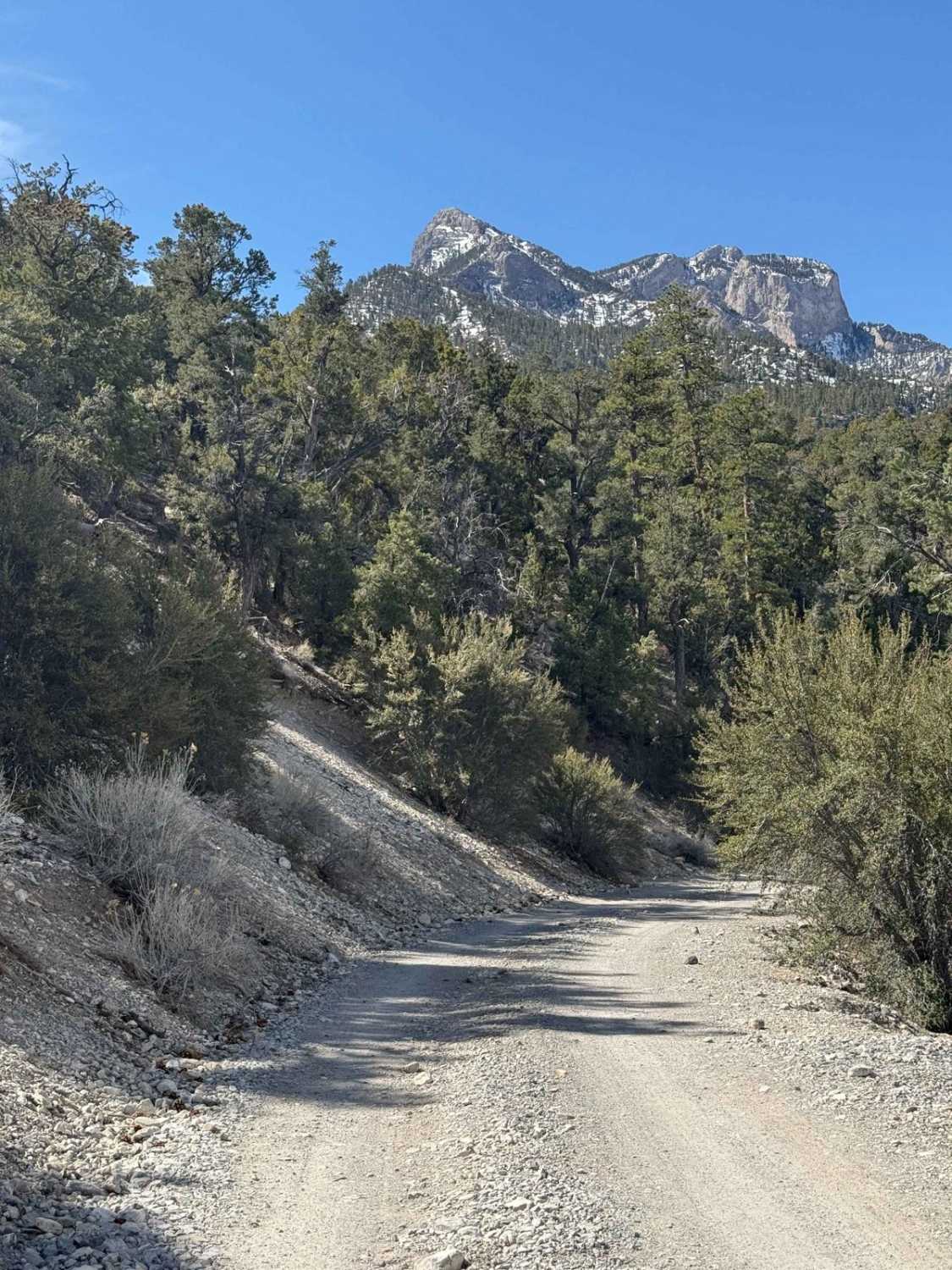
Cardamine Road
Total Miles
1.3
Tech Rating
Easy
Best Time
Spring, Summer, Fall, Winter
Learn more about Carp Elgin Road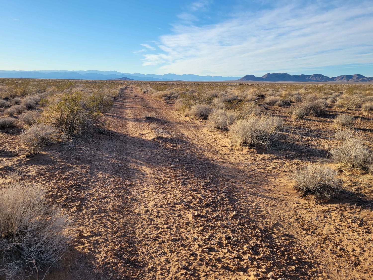
Carp Elgin Road
Total Miles
4.9
Tech Rating
Easy
Best Time
Spring, Summer, Fall, Winter
Learn more about Carp Road-Lyman Crossing to Elgin
Carp Road-Lyman Crossing to Elgin
Total Miles
16.1
Tech Rating
Easy
Best Time
Spring, Summer, Fall, Winter
Learn more about Carpenter Canyon Road
Carpenter Canyon Road
Total Miles
12.4
Tech Rating
Moderate
Best Time
Spring, Summer, Fall, Winter
Learn more about Carpenter Canyon Trail
Carpenter Canyon Trail
Total Miles
4.2
Tech Rating
Easy
Best Time
Winter
Learn more about Carpenter Wash Bypass 
Carpenter Wash Bypass
Total Miles
3.2
Tech Rating
Easy
Best Time
Winter
Learn more about Carrara Canyon Road
Carrara Canyon Road
Total Miles
3.0
Tech Rating
Moderate
Best Time
Winter, Spring, Fall
Learn more about Carson River East Fork Hot Springs Trail
Carson River East Fork Hot Springs Trail
Total Miles
10.0
Tech Rating
Difficult
Best Time
Spring, Summer, Fall, Winter
Learn more about Caselton Access Road
Caselton Access Road
Total Miles
3.2
Tech Rating
Easy
Best Time
Spring, Summer, Fall
Learn more about Cave Valley Dry Lake Bed Crossing
Cave Valley Dry Lake Bed Crossing
Total Miles
3.9
Tech Rating
Easy
Best Time
Spring, Summer, Fall
Learn more about CC East Primitive Road North - 36
CC East Primitive Road North - 36
Total Miles
1.3
Tech Rating
Easy
Best Time
Spring, Summer, Winter, Fall
Learn more about Cedar Corral - FS 44491
Cedar Corral - FS 44491
Total Miles
8.6
Tech Rating
Easy
Best Time
Spring, Summer, Fall
Learn more about Chalk Mountain
Chalk Mountain
Total Miles
7.5
Tech Rating
Moderate
Best Time
Spring, Summer, Fall, Winter
ATV trails in Nevada
Learn more about "Just Found It" Trail
"Just Found It" Trail
Total Miles
3.4
Tech Rating
Easy
Best Time
Spring, Summer, Fall, Winter
Learn more about 13-Mile Loop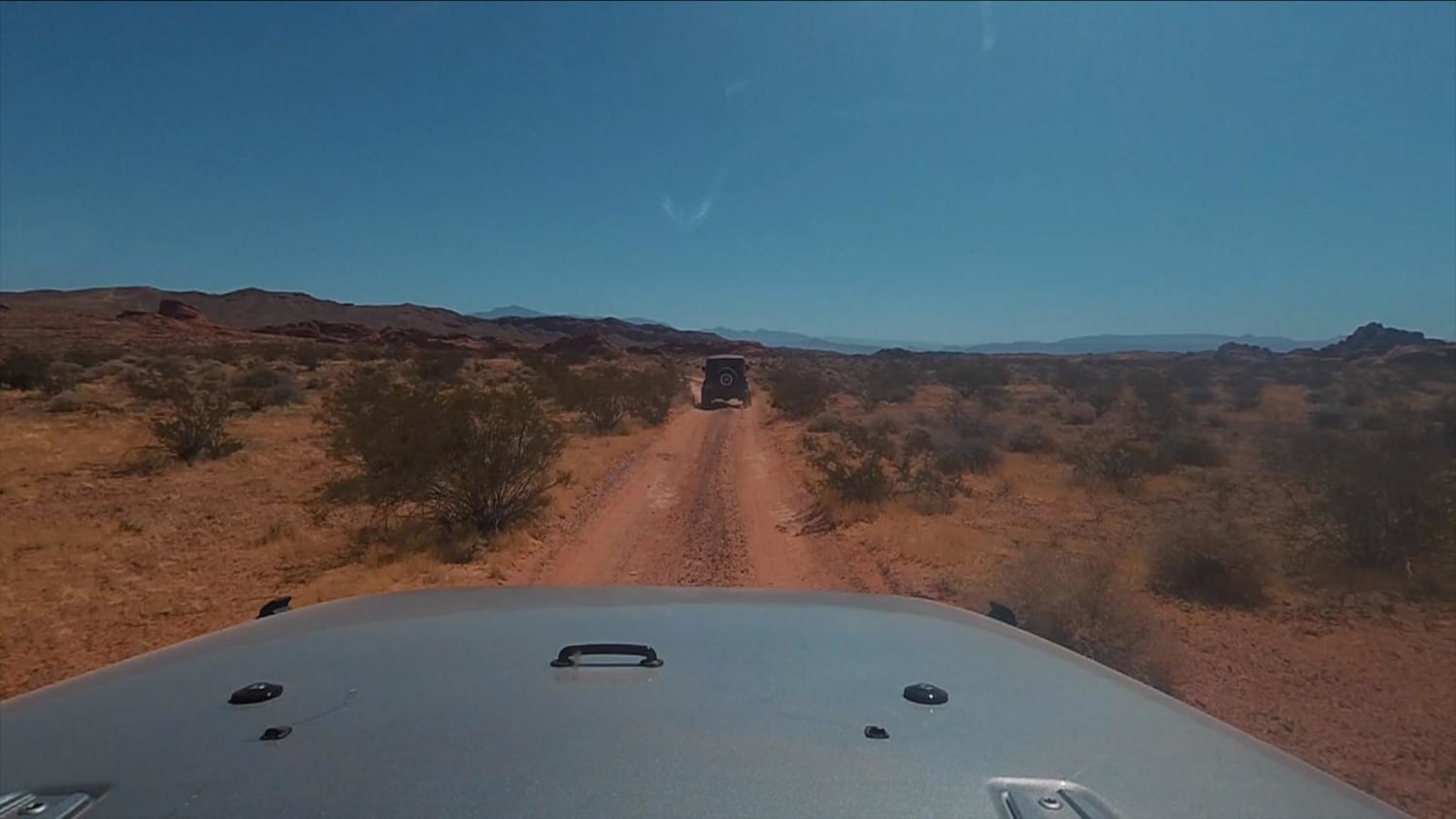
13-Mile Loop
Total Miles
17.4
Tech Rating
Easy
Best Time
Spring, Summer, Fall, Winter
Learn more about 1947 Bunker Trail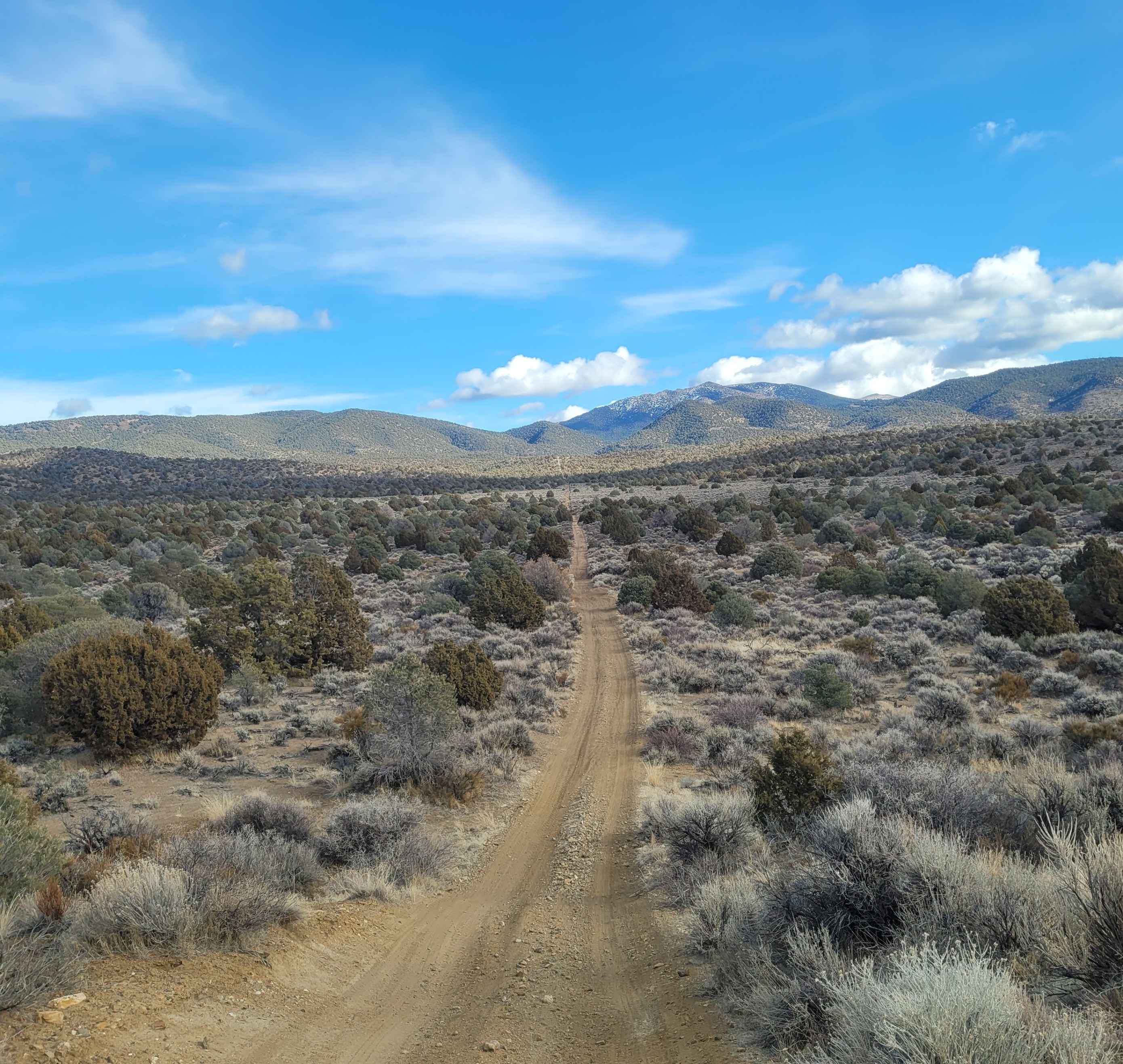
1947 Bunker Trail
Total Miles
6.5
Tech Rating
Easy
Best Time
Summer, Fall
Learn more about 265 Camping Crossover
265 Camping Crossover
Total Miles
2.3
Tech Rating
Easy
Best Time
Fall, Spring, Winter
UTV/side-by-side trails in Nevada
Learn more about "Just Found It" Trail
"Just Found It" Trail
Total Miles
3.4
Tech Rating
Easy
Best Time
Spring, Summer, Fall, Winter
Learn more about 13-Mile Loop
13-Mile Loop
Total Miles
17.4
Tech Rating
Easy
Best Time
Spring, Summer, Fall, Winter
Learn more about 1947 Bunker Trail
1947 Bunker Trail
Total Miles
6.5
Tech Rating
Easy
Best Time
Summer, Fall
Learn more about 265 Camping Crossover
265 Camping Crossover
Total Miles
2.3
Tech Rating
Easy
Best Time
Fall, Spring, Winter
The onX Offroad Difference
onX Offroad combines trail photos, descriptions, difficulty ratings, width restrictions, seasonality, and more in a user-friendly interface. Available on all devices, with offline access and full compatibility with CarPlay and Android Auto. Discover what you’re missing today!