Color Rock Quarry to Apex
Total Miles
13.0
Technical Rating
Best Time
Spring, Fall, Winter
Trail Type
Full-Width Road
Accessible By
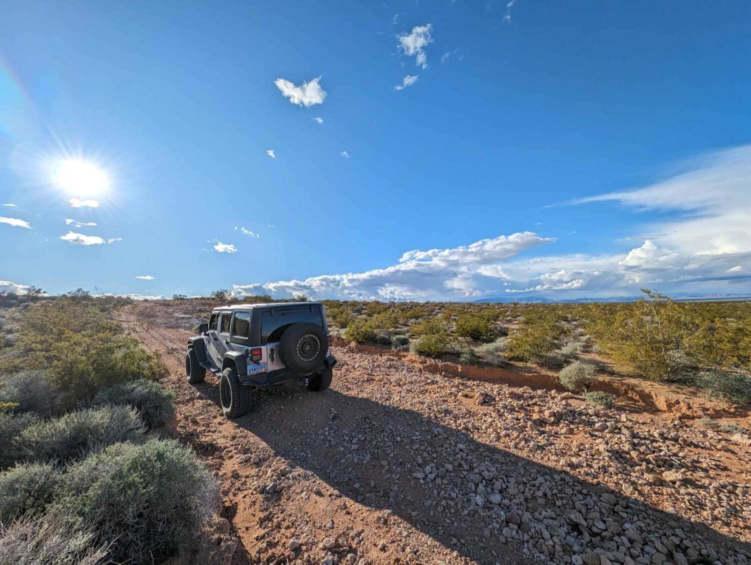
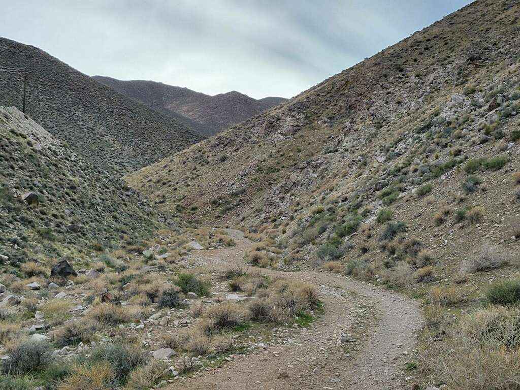
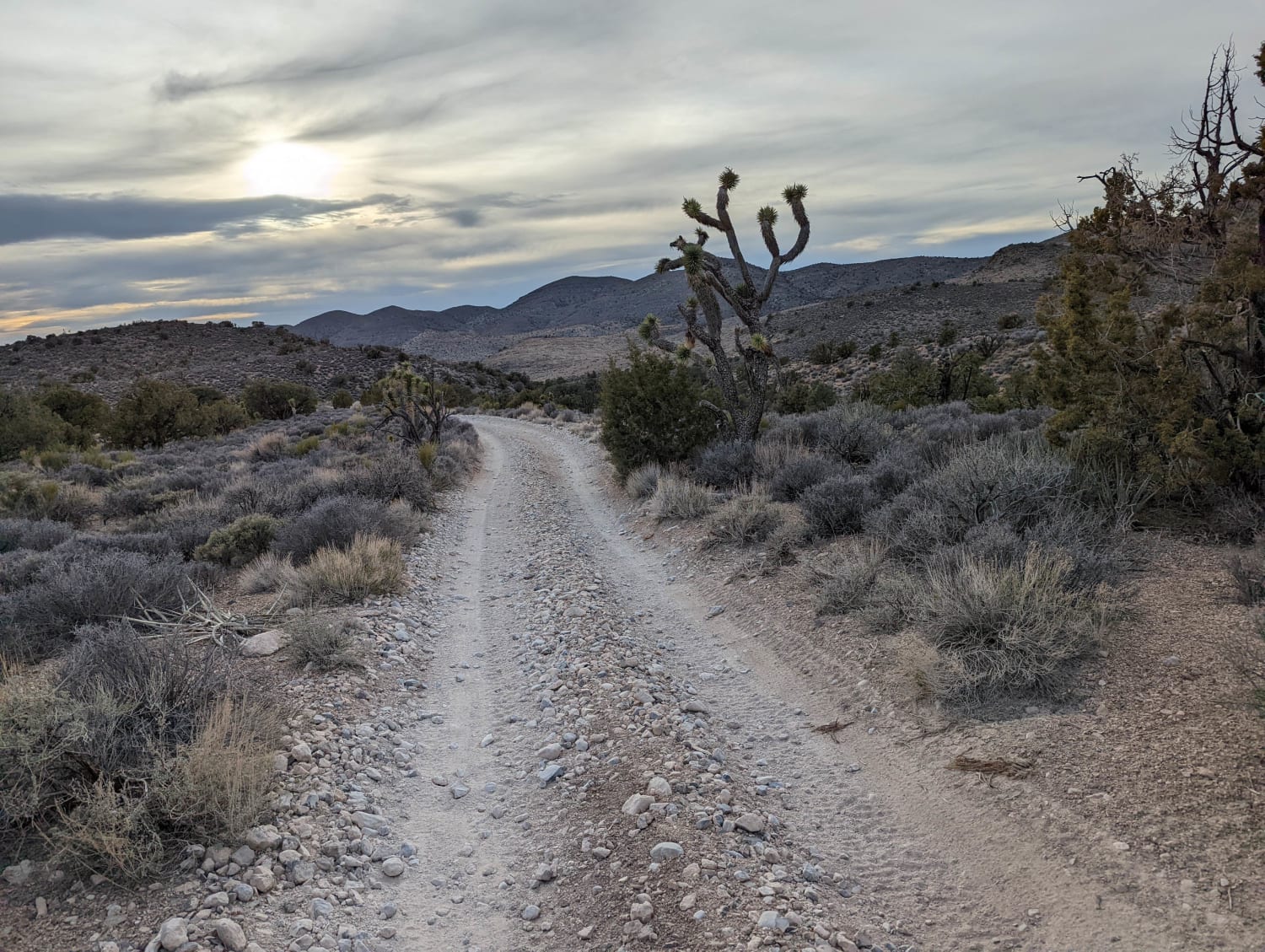
Trail Overview
This is an easy trail running between Color Rock Quarry and Apex. The route ends at Pabco Road, which is identified as a private road, though you can take it back to the I-15 without issue. You can also continue through Apex to the staging area to exit. In some parts of the trail, several passing sections add different options or allow faster vehicles by. Stop at the water tank for a snack, or if you overland, this would be a fun place to stop for the night. The scenery is breathtaking in mid-spring as the desert begins to bloom.
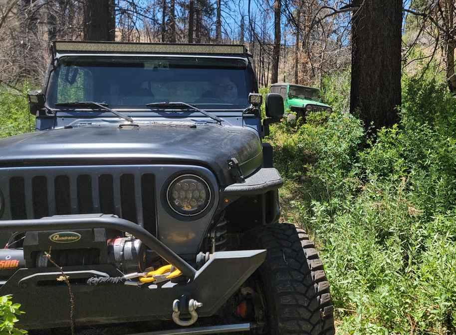
Photos of Color Rock Quarry to Apex
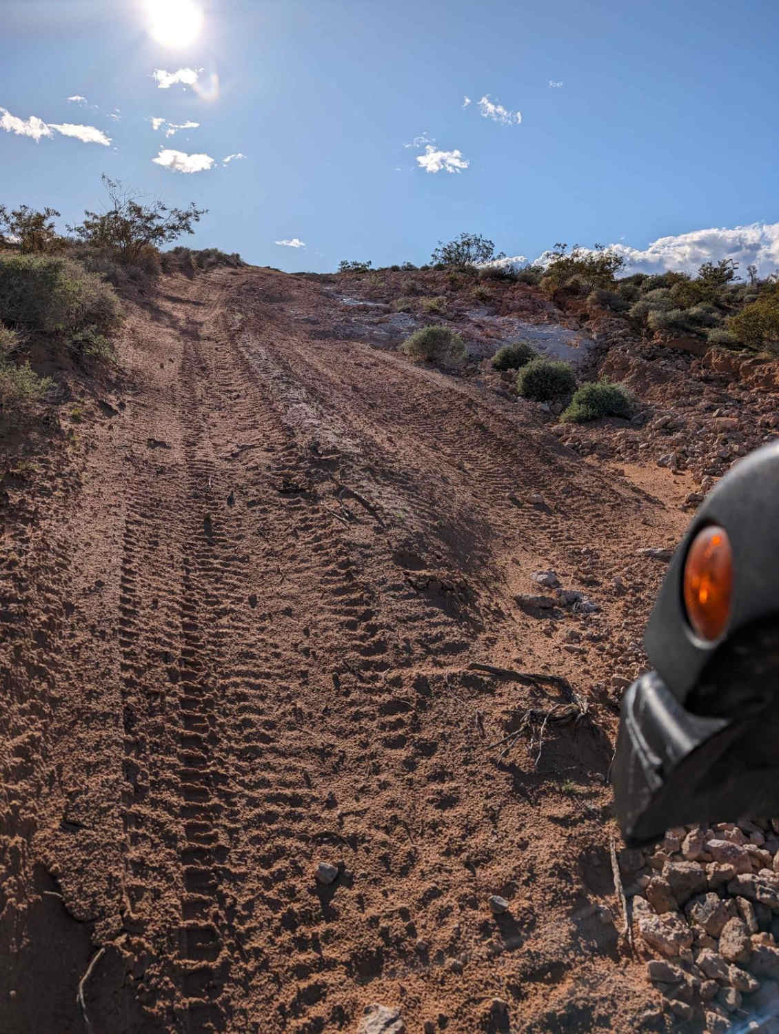
Difficulty
The trail is easy with a few hill climbs, making this trail rated 3. There are a few very minor rock gardens slowing down the ride, though all rocks are easily traversed in a high-clearance vehicle.
Color Rock Quarry to Apex can be accessed by the following ride types:
- High-Clearance 4x4
- SUV
- SxS (60")
- ATV (50")
- Dirt Bike
Color Rock Quarry to Apex Map
Popular Trails
Johnswort Road

Ice Plant ATV Loop
The onX Offroad Difference
onX Offroad combines trail photos, descriptions, difficulty ratings, width restrictions, seasonality, and more in a user-friendly interface. Available on all devices, with offline access and full compatibility with CarPlay and Android Auto. Discover what you’re missing today!