Cyanide Road
Total Miles
9.0
Technical Rating
Best Time
Spring, Summer, Fall
Trail Type
Full-Width Road
Accessible By
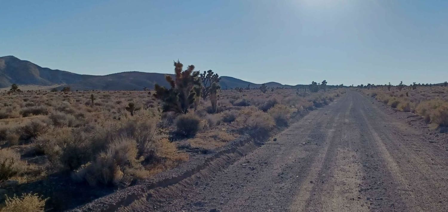
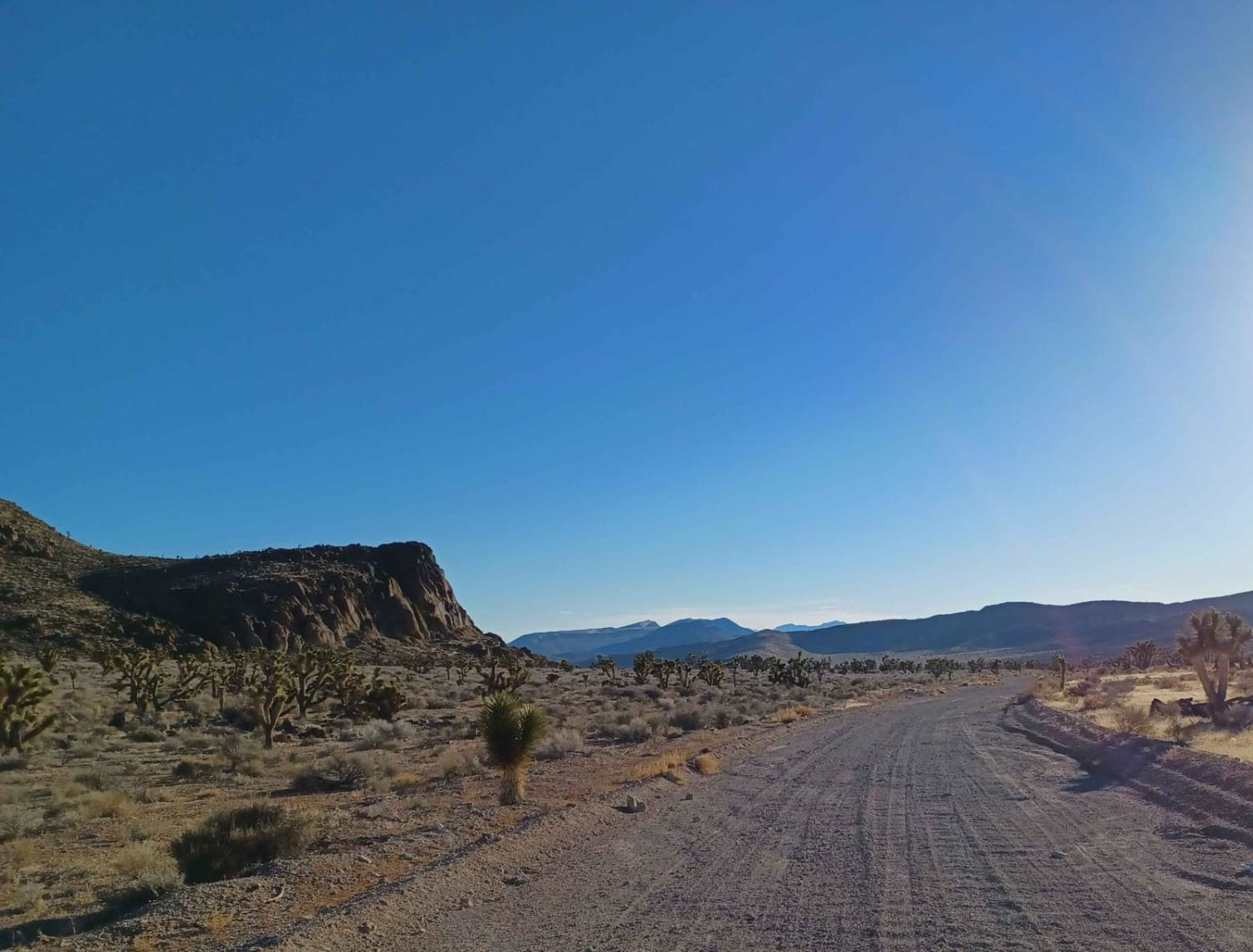
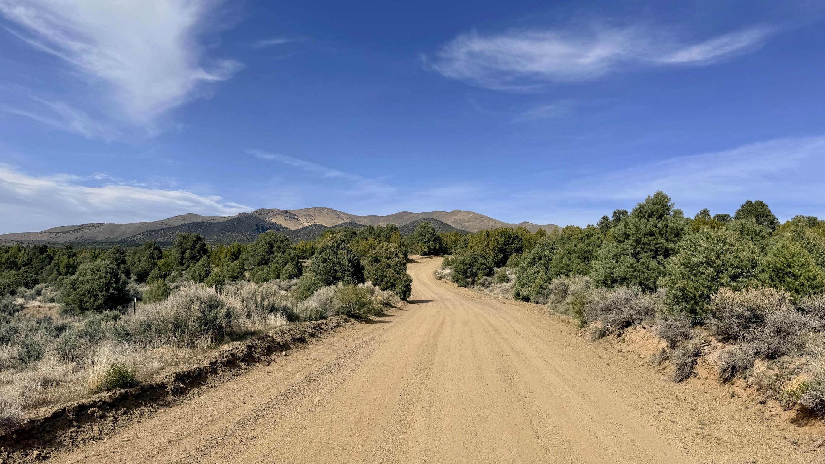
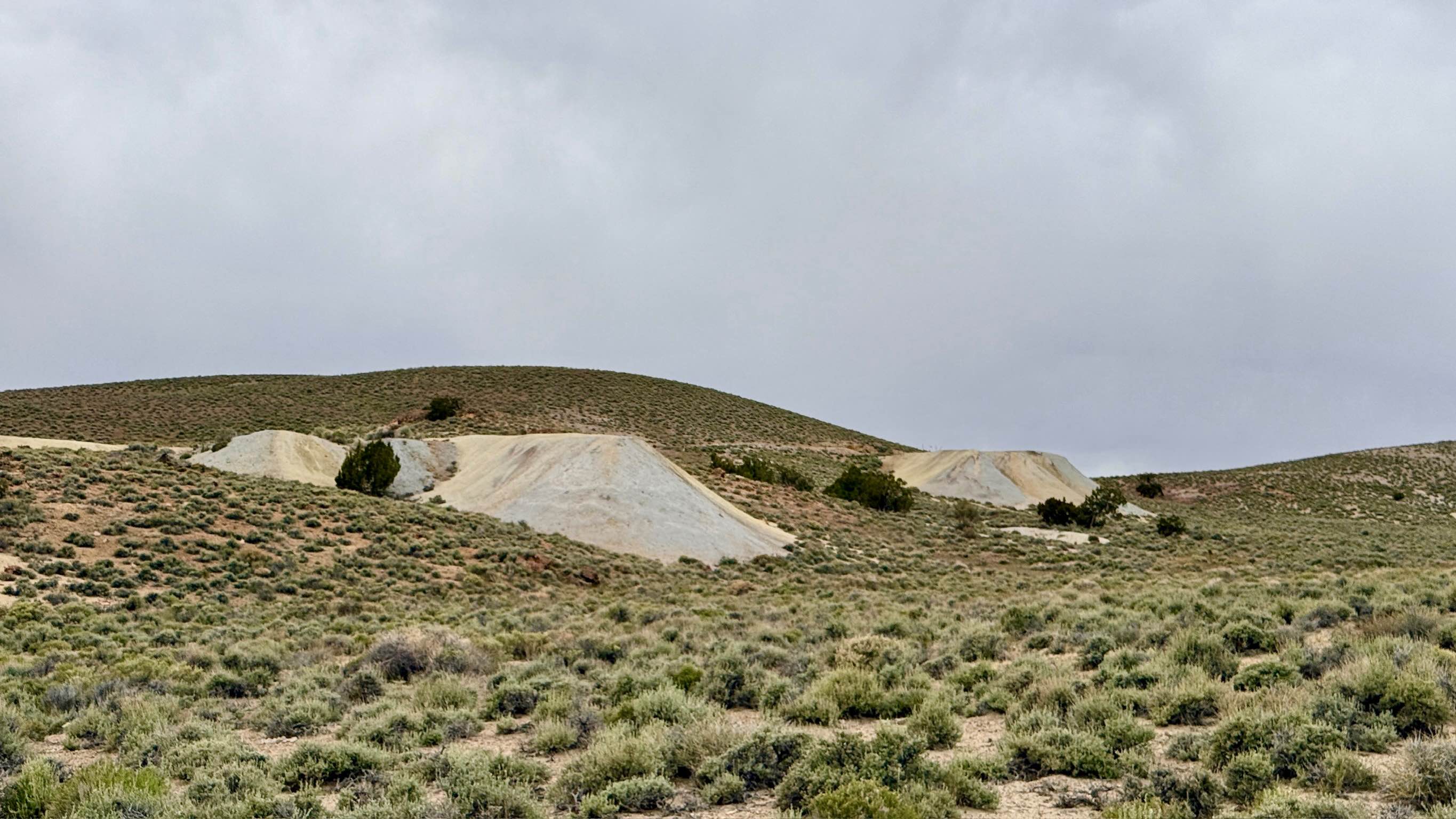
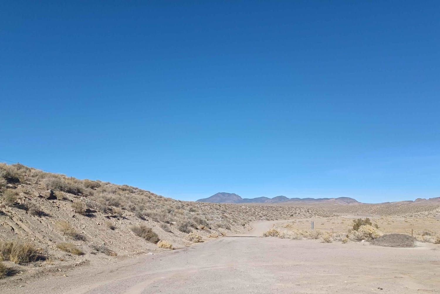
Trail Overview
Cyanide Road is and easy gravel dusty road with a couple small washouts. It runs through the Bureau of Land Management Government Lands, and has some pretty views while on the route of the valley and mountains, plus quite a few joshua trees. There isn't much for camping so If you are looking for a really nice free campground with bathrooms, tables, grills, and fire pits the Upper Pahranagat Lake Campground is close to this route, just outside of Alamo City.
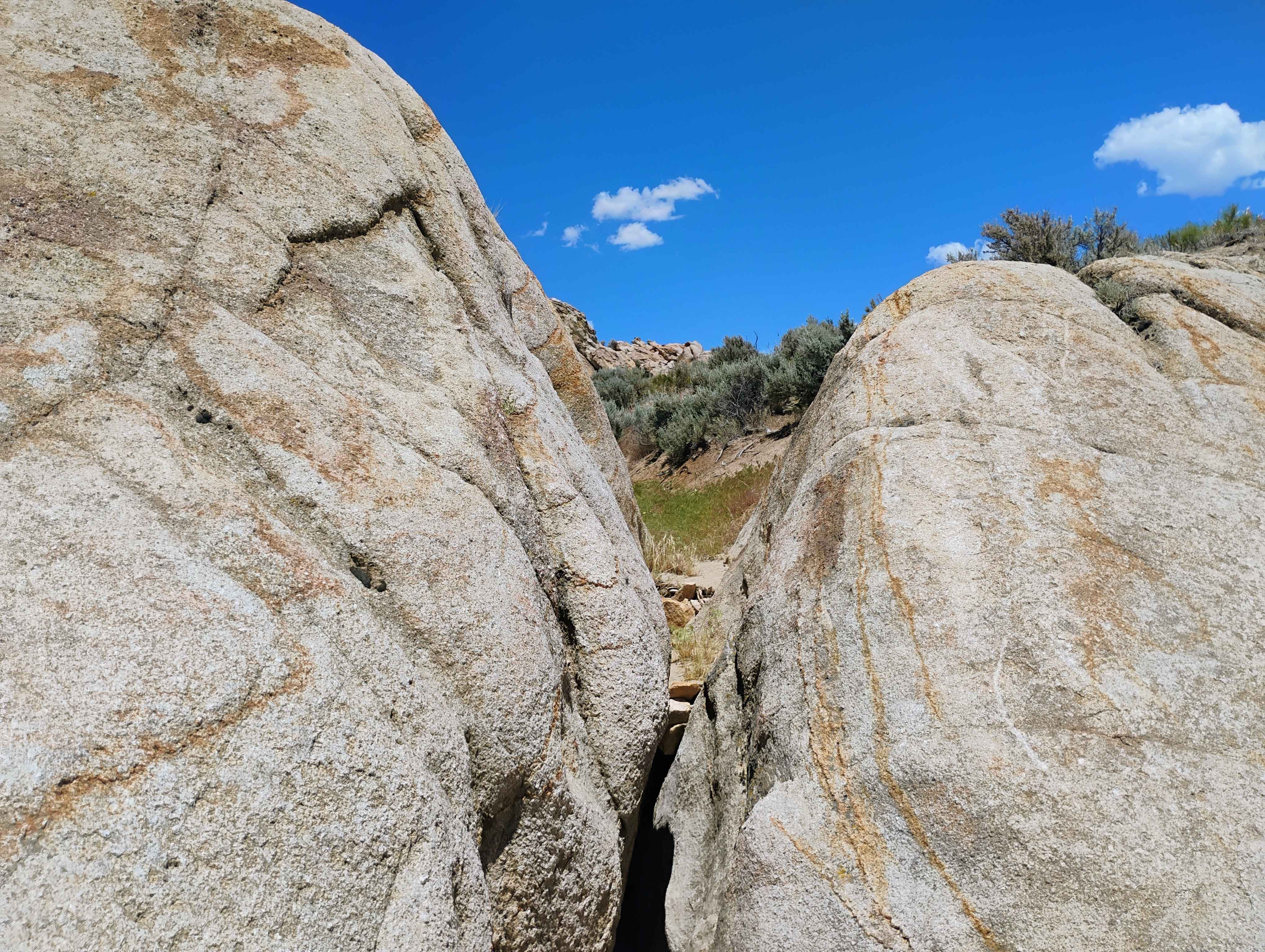
Photos of Cyanide Road
Difficulty
Muddy when wet.
Status Reports
Cyanide Road can be accessed by the following ride types:
- High-Clearance 4x4
- SUV
- SxS (60")
- ATV (50")
- Dirt Bike
Cyanide Road Map
Popular Trails
Yankee Blade Loop (FS43184)
Parrotte Springs / Hannapah Road - FS 44505
Weepah Springs Road
Off The Trailer
The onX Offroad Difference
onX Offroad combines trail photos, descriptions, difficulty ratings, width restrictions, seasonality, and more in a user-friendly interface. Available on all devices, with offline access and full compatibility with CarPlay and Android Auto. Discover what you’re missing today!