Dry Canyon North - FS 23005
Total Miles
5.2
Technical Rating
Best Time
Spring, Summer, Fall
Trail Type
Full-Width Road
Accessible By
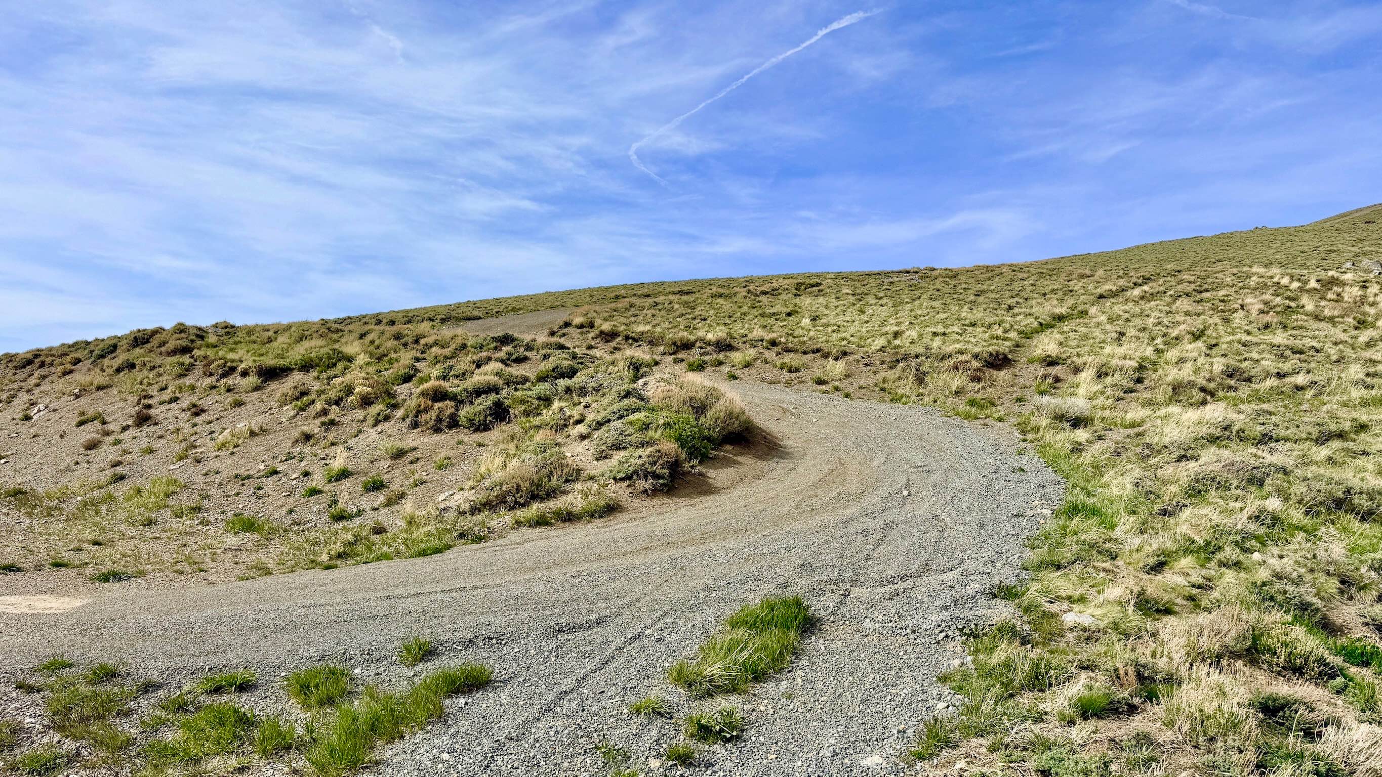
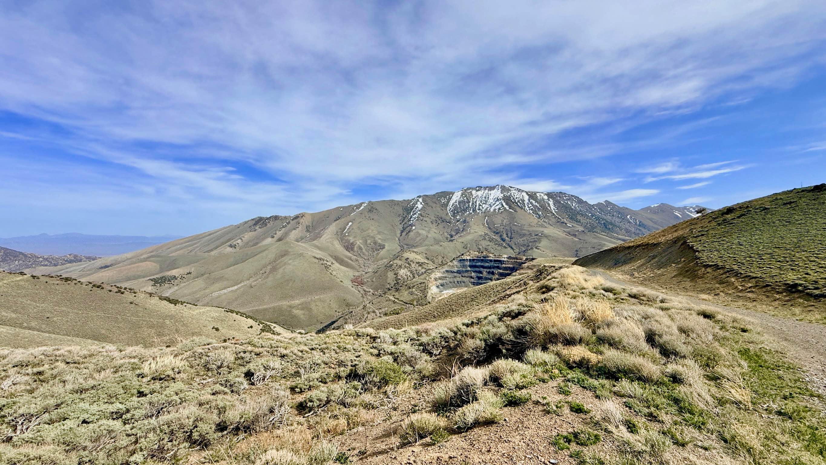
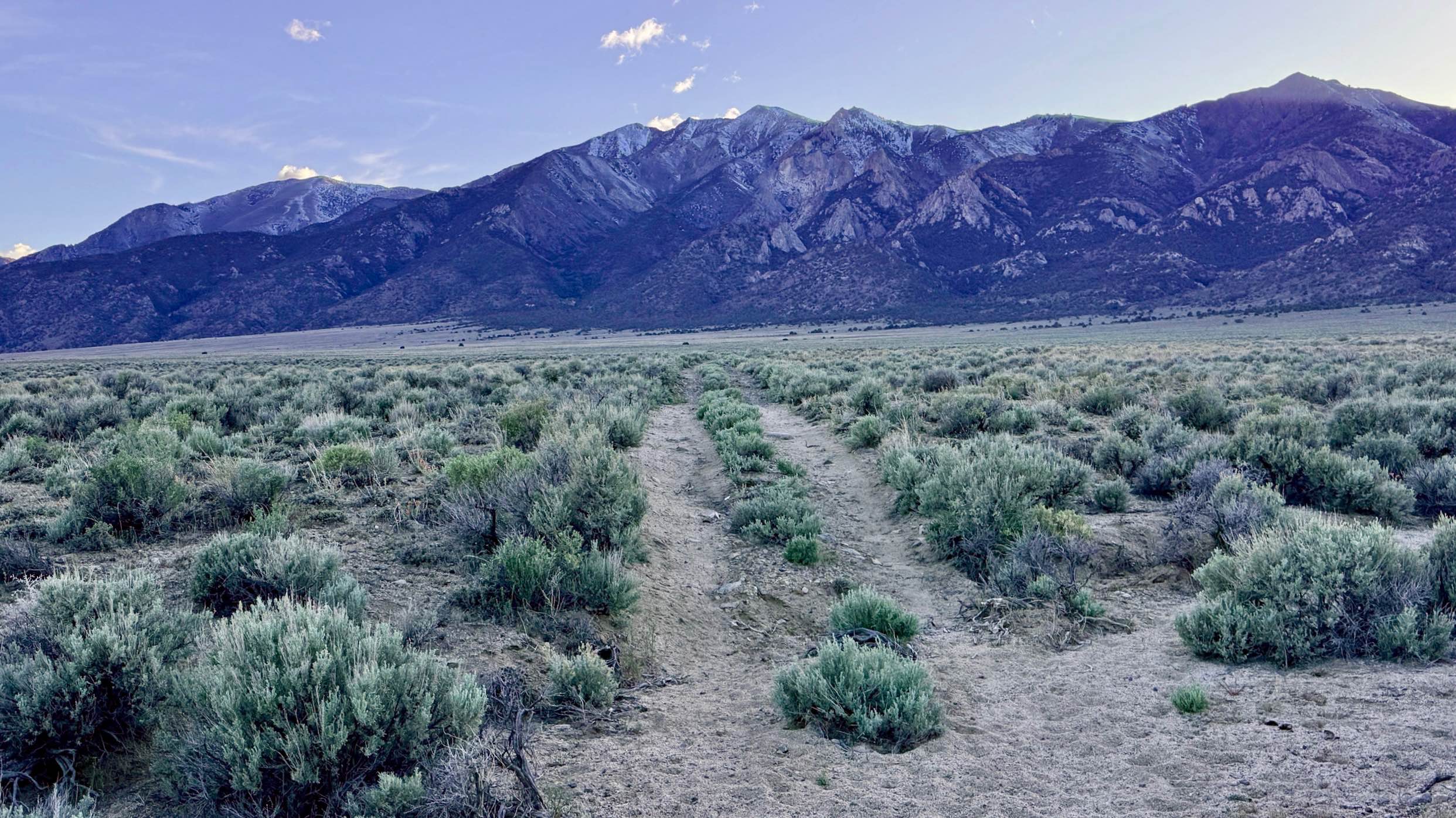
Trail Overview
If Dry Canyon South is the "easy way up," then Dry Canyon North is the technical, adrenaline-fueled "roller coaster" of the Toiyabe Range. This trail is strictly for those who embrace heights and crave the challenge of driving from ridgeline to ridgeline. The route consists of a narrow, single-lane track that clings to the mountains' crests, offering jaw-dropping 360-degree views that shift dramatically with every summit. The driving experience is intense, featuring long, steep grades covered in loose volcanic gravel. You will navigate several technical sections with large boulders embedded in the trail, requiring precise tire placement and a focused "keener's eye" to avoid undercarriage damage. This is a true high-consequence trail; many of the long, off-camber sections offer no guardrails and feature significant vertical drops down the mountainside. For the seasoned off-roader, it is an absolute blast, offering a sense of scale and solitude hard to match anywhere else in the Great Basin. Despite the extreme elevation, there is no cell service at the top. The surrounding peaks create a shadow that blocks all signals. Download offline maps before you start your ascent. This is an exposed, high-altitude environment. Carry at least one gallon of water per person per day, extra fuel, and a full-sized spare tire
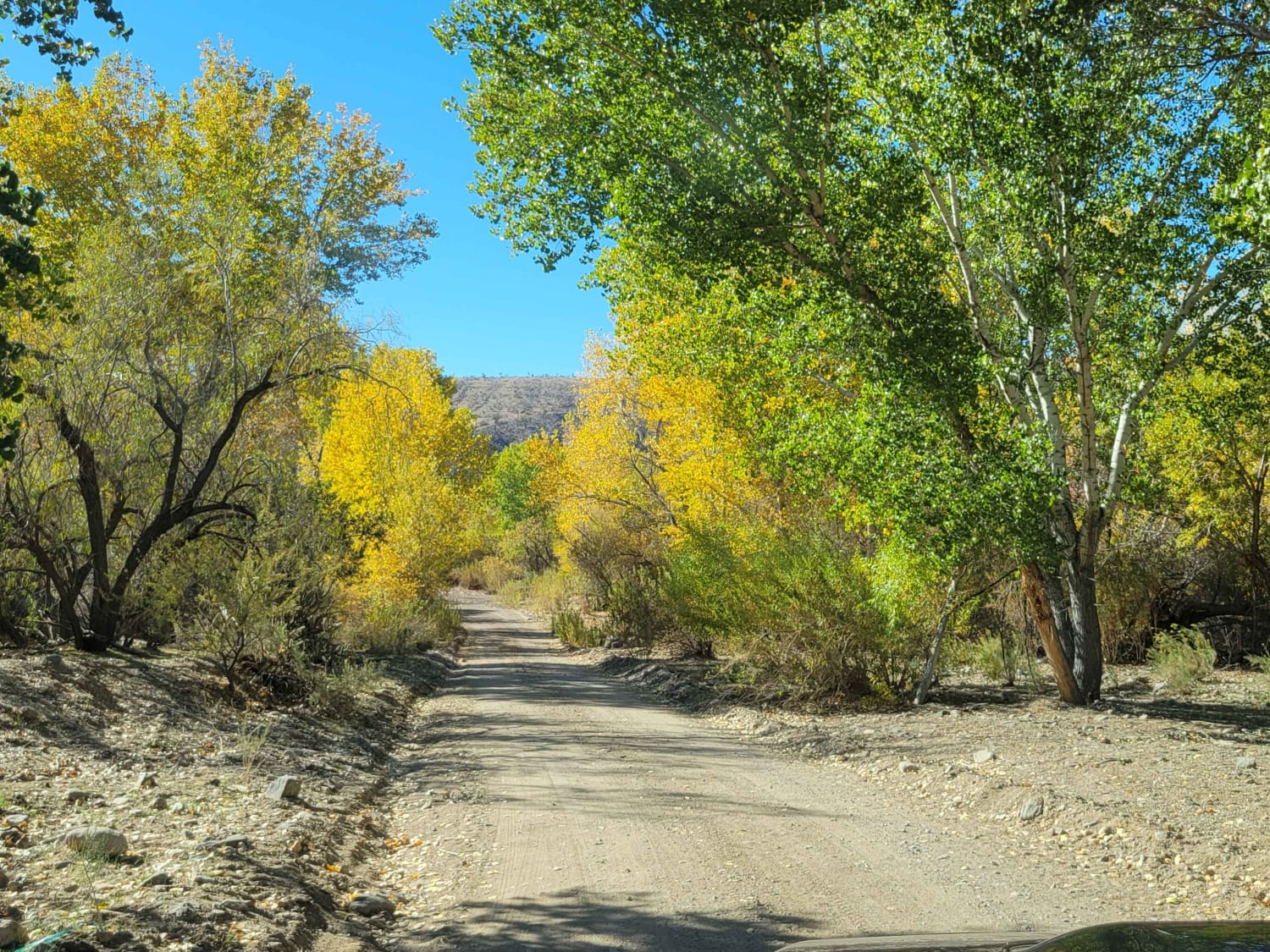
Photos of Dry Canyon North - FS 23005
Difficulty
Rated a 4 due to the combination of long, loose, rocky hill climbs and descents, as well as the sustained off-camber sections. Not recommended for those uncomfortable with heights or high-exposure shelf roads. The steep drop-offs and narrow track provide very little room for error. The loose "scree" and gravel can be very slick.
History
The ridgeline trails of the Toiyabe Range often follow the same high-altitude paths used by the Western Shoshone for seasonal hunting and pinyon nut harvesting long before the arrival of miners. In the 1860s, these high ridges served as crucial vantage points for prospectors to "read" the geology of the canyons below. Navigating these heights was a grueling task for man and mule alike, and the narrowness of the trail today is a reminder of the minimal footprint required to move across the "Sky Islands" of central Nevada.
Dry Canyon North - FS 23005 can be accessed by the following ride types:
- High-Clearance 4x4
- SUV
- SxS (60")
- ATV (50")
- Dirt Bike
Dry Canyon North - FS 23005 Map
Popular Trails
West Steam Shovel OHV Trail
Acoma-FR30017
South Trail McLeod Bypass - FS 43340
Snow Spring Road
The onX Offroad Difference
onX Offroad combines trail photos, descriptions, difficulty ratings, width restrictions, seasonality, and more in a user-friendly interface. Available on all devices, with offline access and full compatibility with CarPlay and Android Auto. Discover what you’re missing today!