Trail Overview
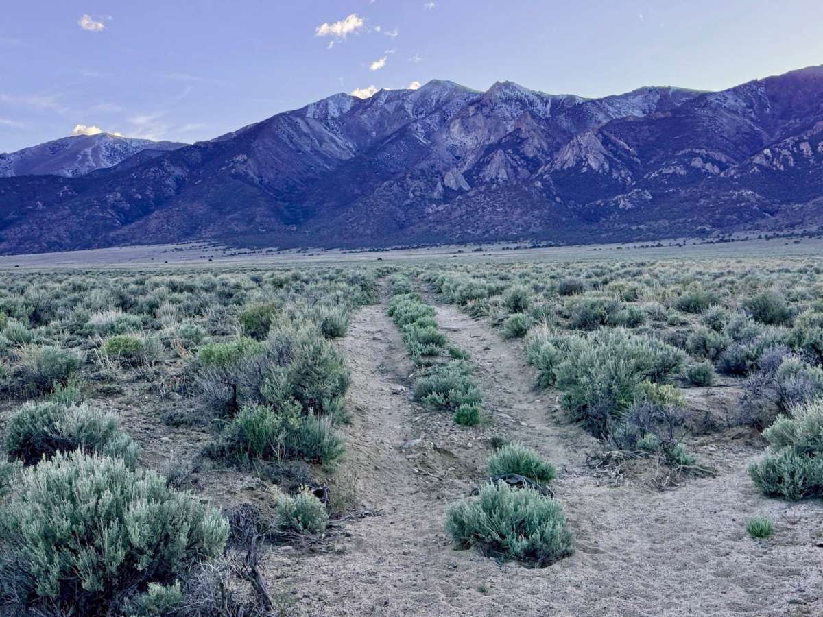
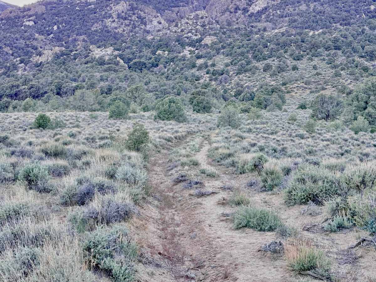
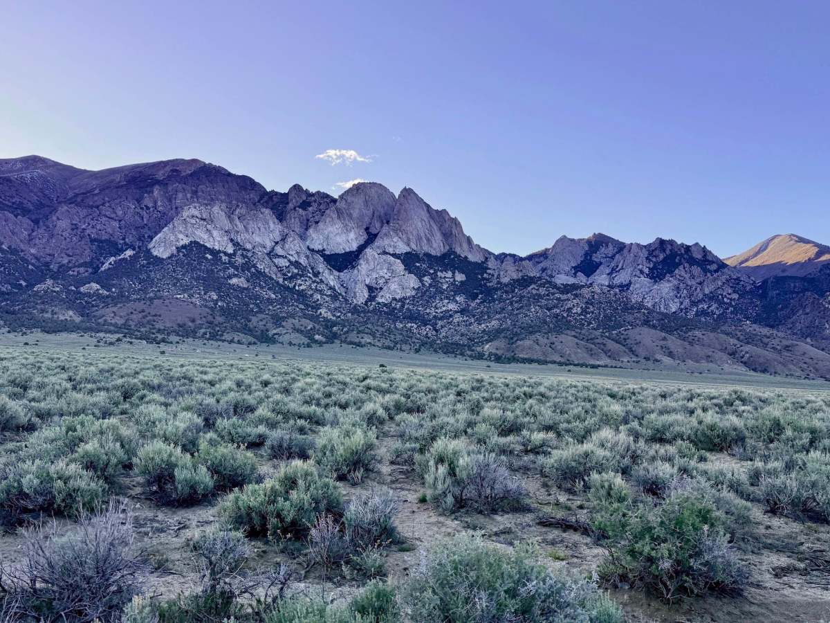
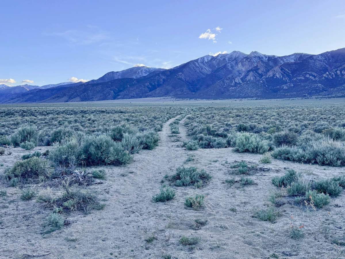
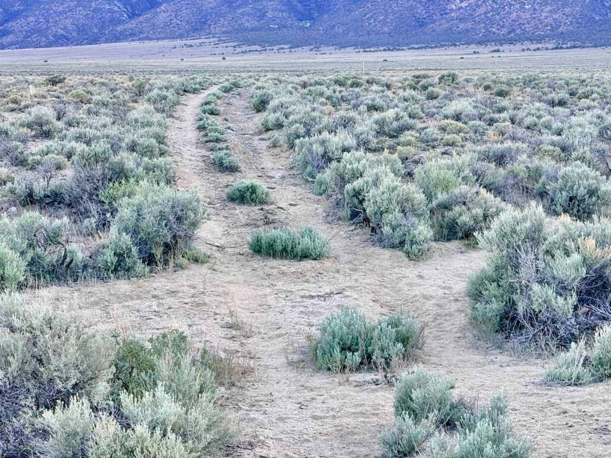
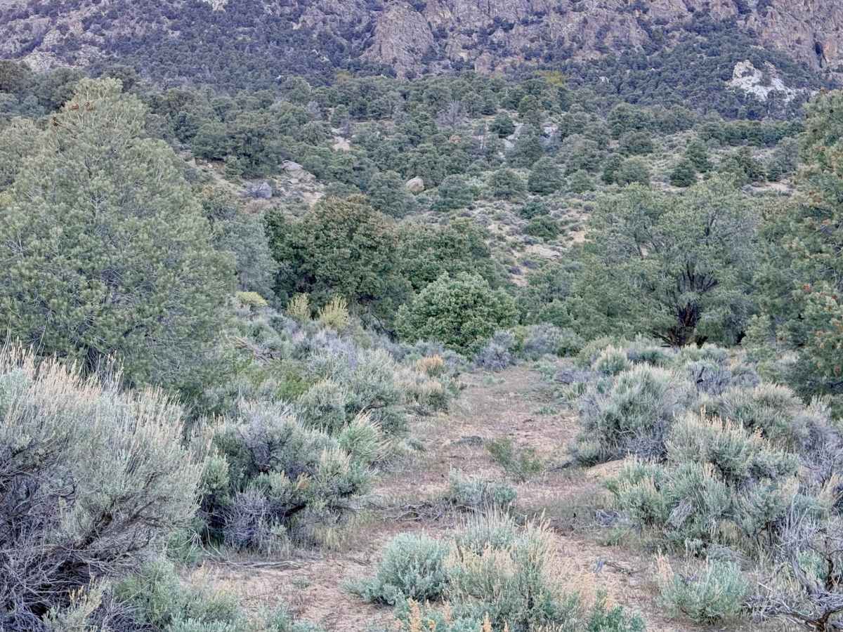
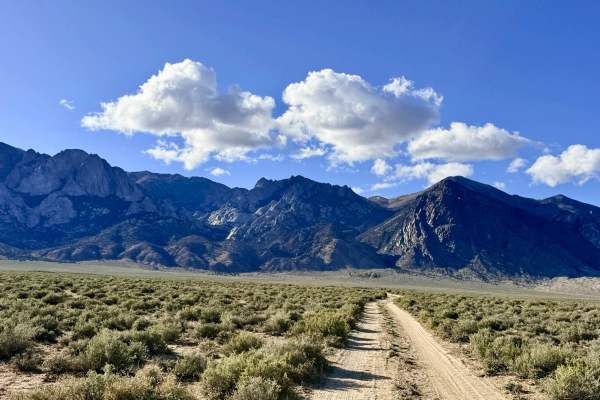
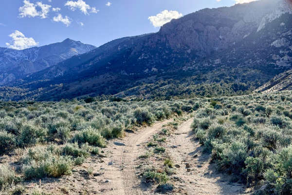
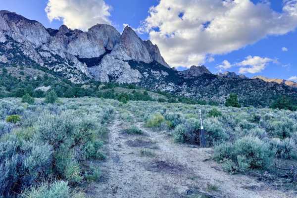
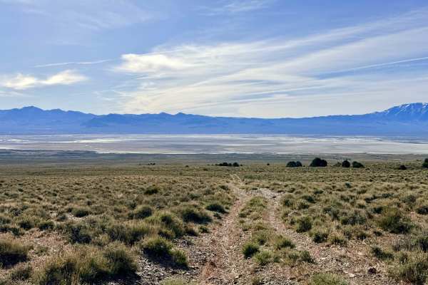
The South Trail McLeod Bypass is a primitive, seldom-traveled two-track that offers a true sense of solitude as it traverses the rugged hillsides of the Toiyabe Range. This route is an excellent choice for those looking to escape the more popular valley trails and immerse themselves in the "Sky Island" environment of central Nevada. The trail provides an up-close look at the towering rock formations and jagged cliffs to the west, while simultaneously offering expansive views of the Reese River Valley floor far below. The driving is engaging and requires a focused eye. Expect several technical challenges, including steep transitions through dry washes and bumpy sections of jagged volcanic rock. This trail is particularly prone to deep ruts and high center berms; lower-profile vehicles are at high risk of high-centering, making careful tire placement essential. Because the track is consistently narrow and sees very little traffic, there are virtually no spots for oncoming vehicles to pass and no cleared areas suitable for dispersed camping. However, this seclusion makes it a premier corridor for wildlife; Pronghorn Antelope are common here, and lucky travelers may also spot Mule Deer, Elk, or Sage Grouse in the brushy draws.
You may encounter a couple of LTE bars that come and go depending on your position on the hill, but it is too unreliable for primary navigation. Download offline maps before heading into the foothills.
Difficulty
Rated a 3 due to the combination of narrow passage, steep wash crossings, and the risk of high-centering on the center berm. The trail is exceptionally narrow, be prepared to back up to the nearest junction if you encounter another vehicle.