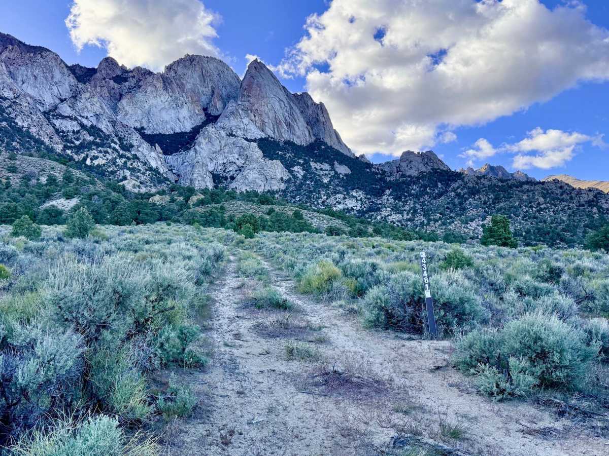
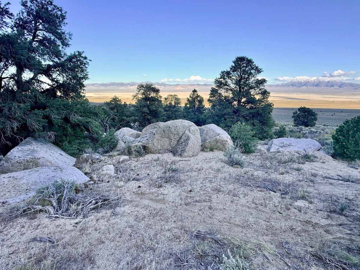
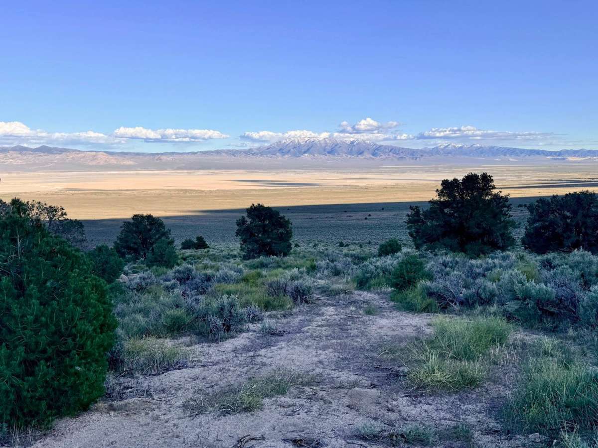
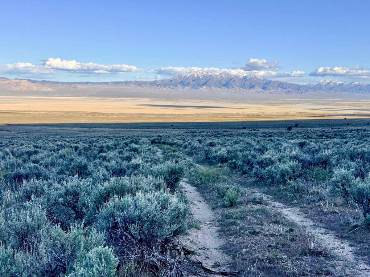
Trail Overview
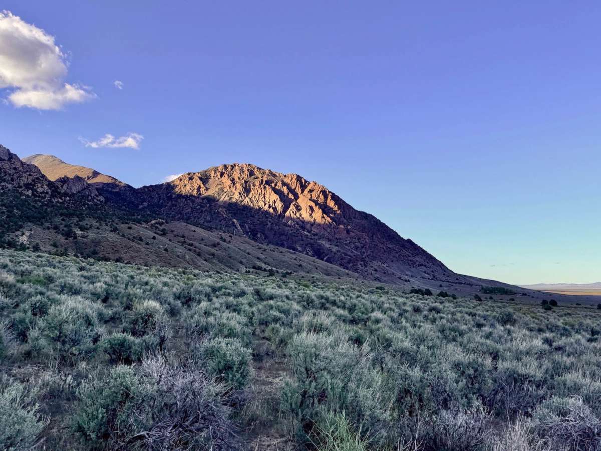
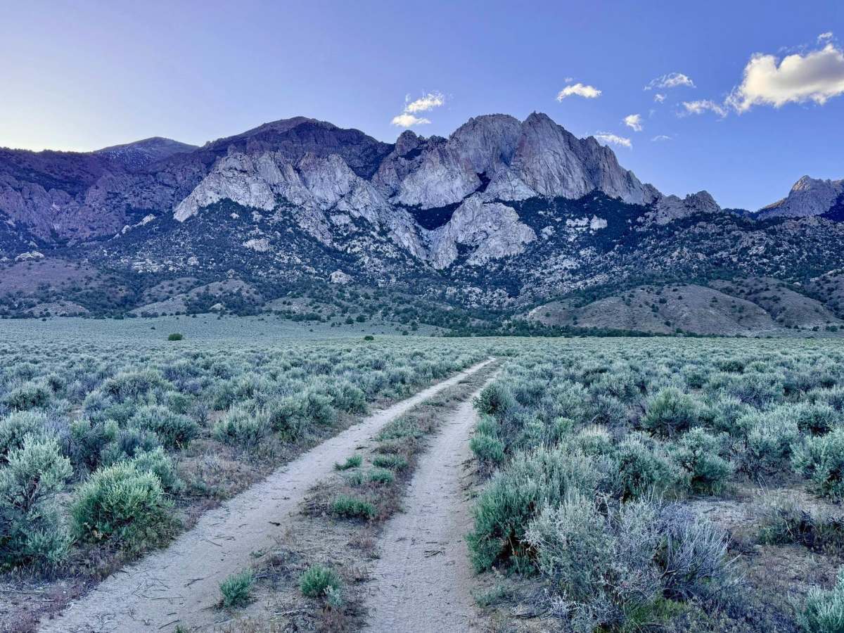
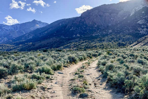
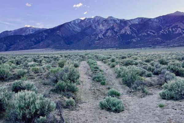
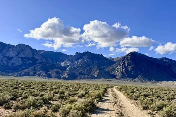
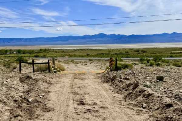
While this segment of the McLeod trail system is relatively uneventful in terms of technical obstacles, it is an essential and pleasant "well-traveled" route for navigating the Toiyabe foothills. This trail provides a smooth, easy drive into the hills, serving as one of the primary bypasses for the more rugged McLeod Creek area. As you climb, the sagebrush opens up to reveal a majestic panoramic view of the vast valley floor stretching toward the eastern horizon. The trail terminates at a unique location: a large, boulder-strewn site perched on the hillside. While the ground here is not particularly level for vehicle camping, it offers a fantastic, secluded spot where a small tent could be pitched among the rocks. The reward for reaching the end is the incredible perspective over the Great Basin, making it an ideal place to pull over, stretch your legs, and soak in the silence of the high desert.
You may find decent cell service near the bottom of the trail as it nears the valley floor, but coverage drops off quickly as you gain elevation. Download offline maps before heading into the hills.
Difficulty
Suitable for most high-clearance SUVs and 4x4 vehicles. Rated a 2 primarily because the track is consistently narrow. There are very few wide spots for passing, so drivers should stay alert; if you encounter oncoming traffic, one vehicle may need to back up a significant distance to find a safe turnout.